






Stoneman Glaciara Hike
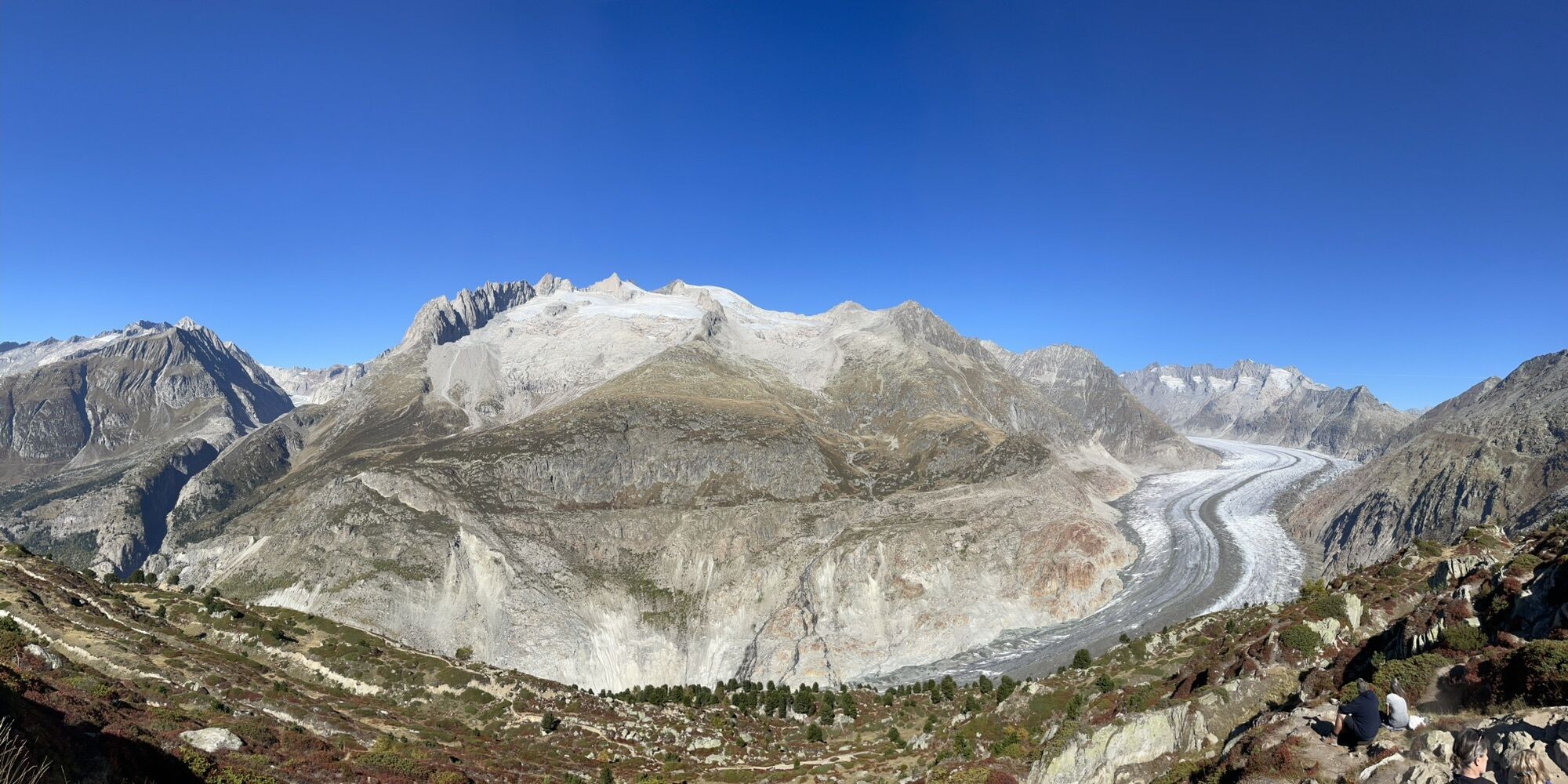

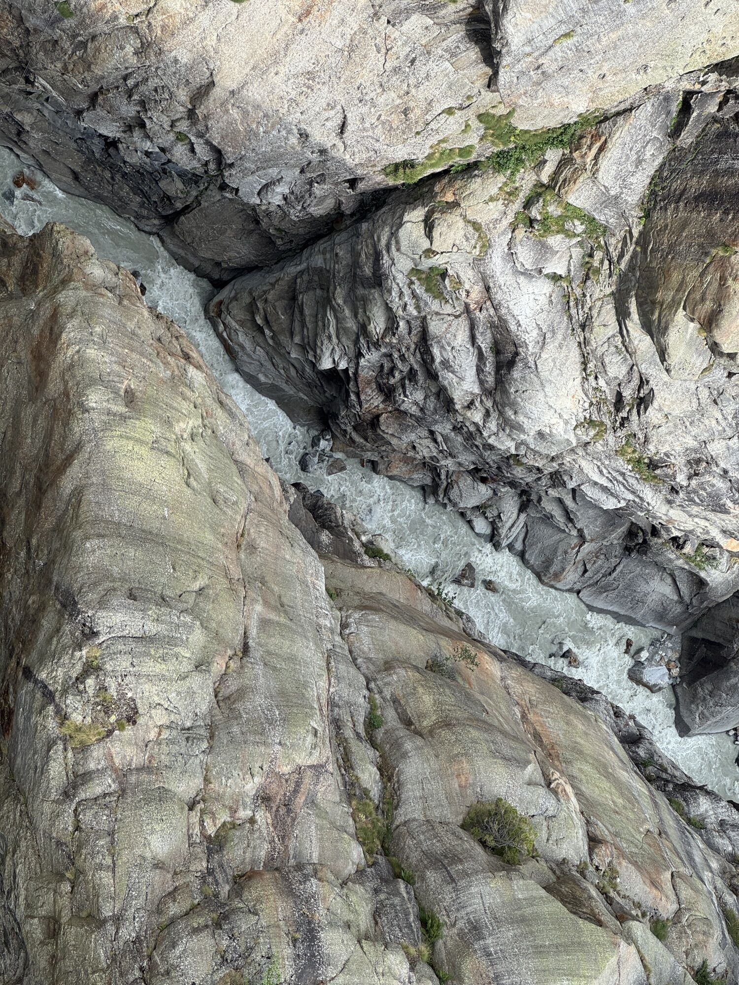
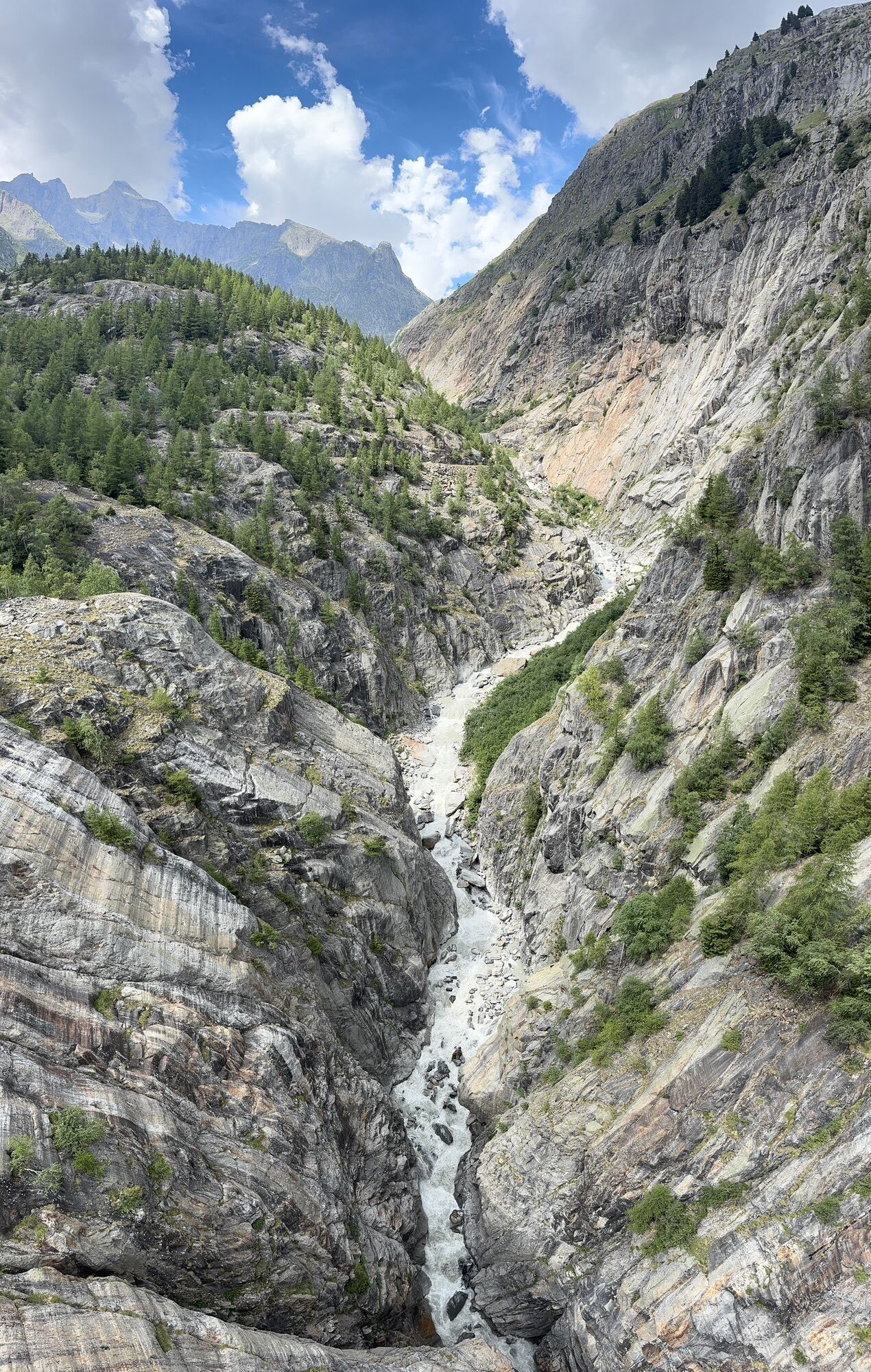
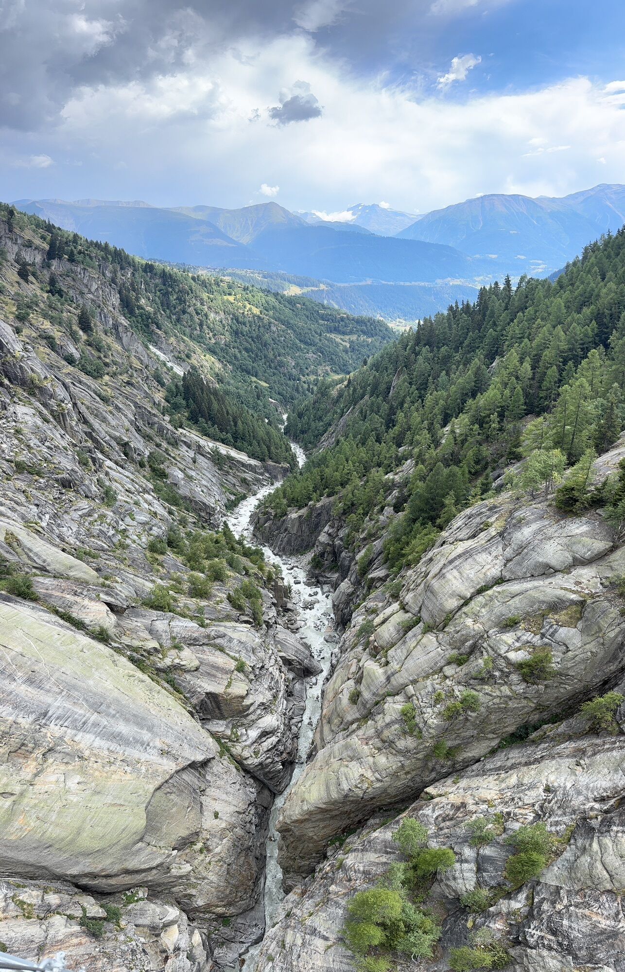
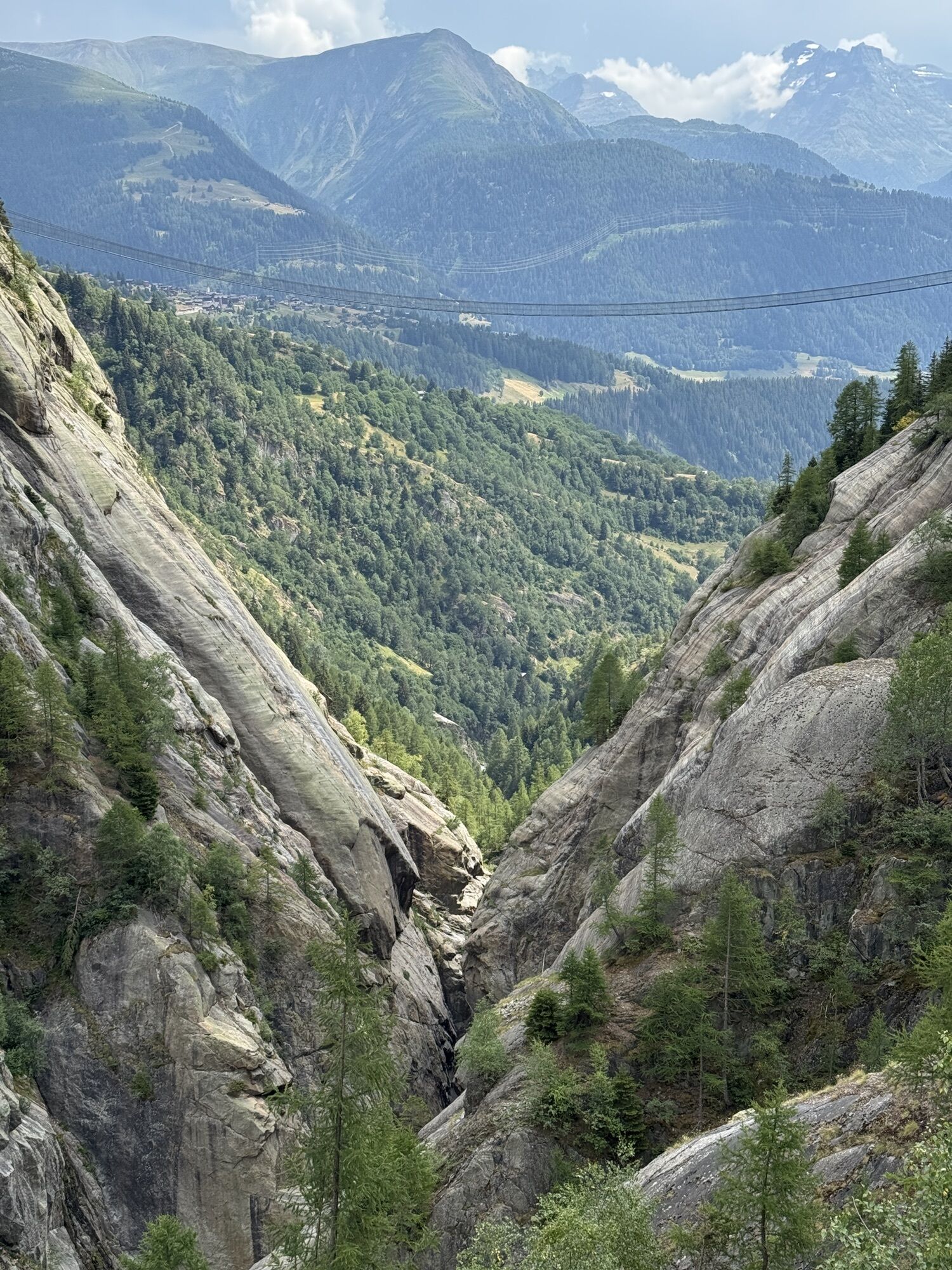
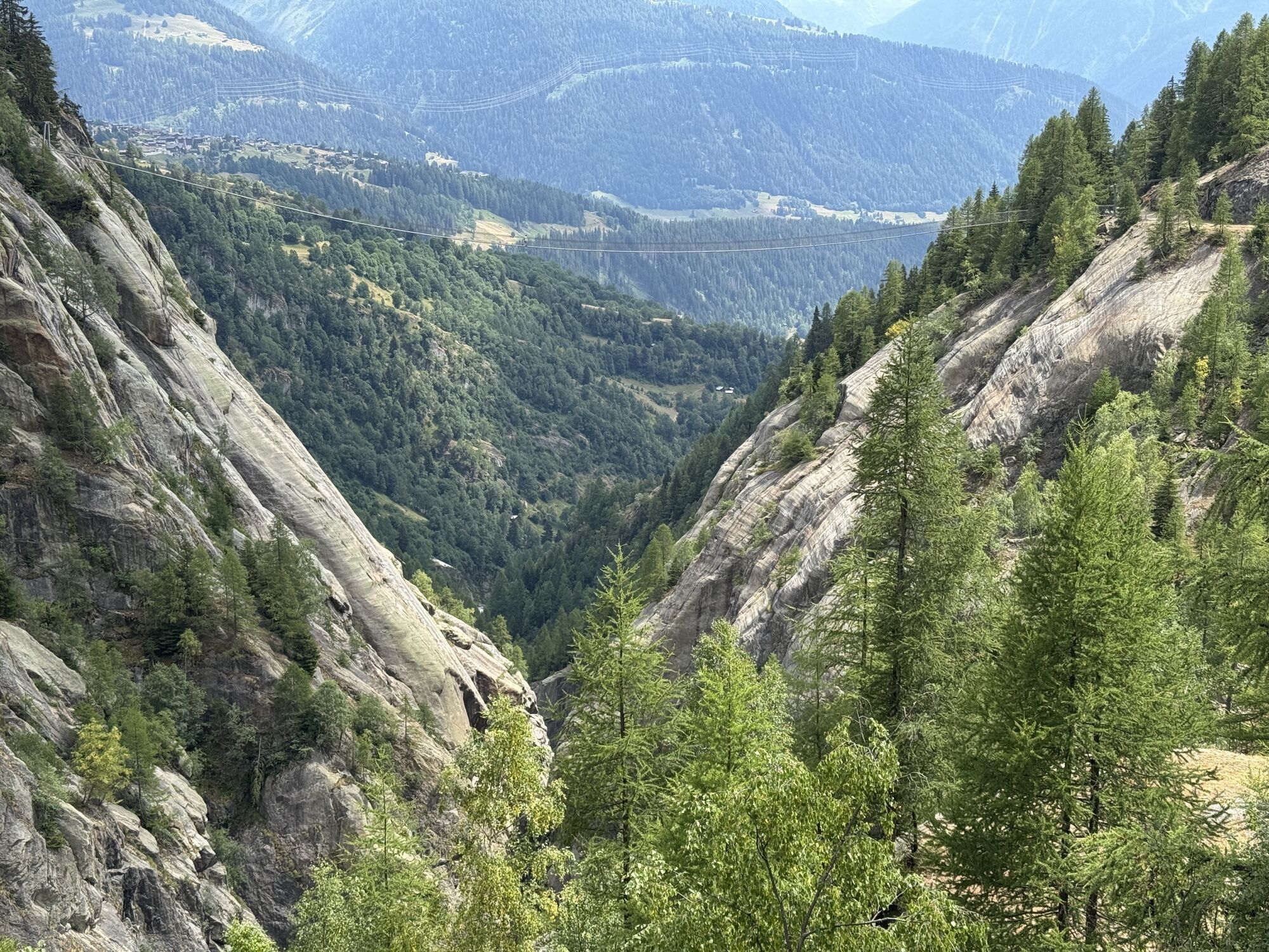
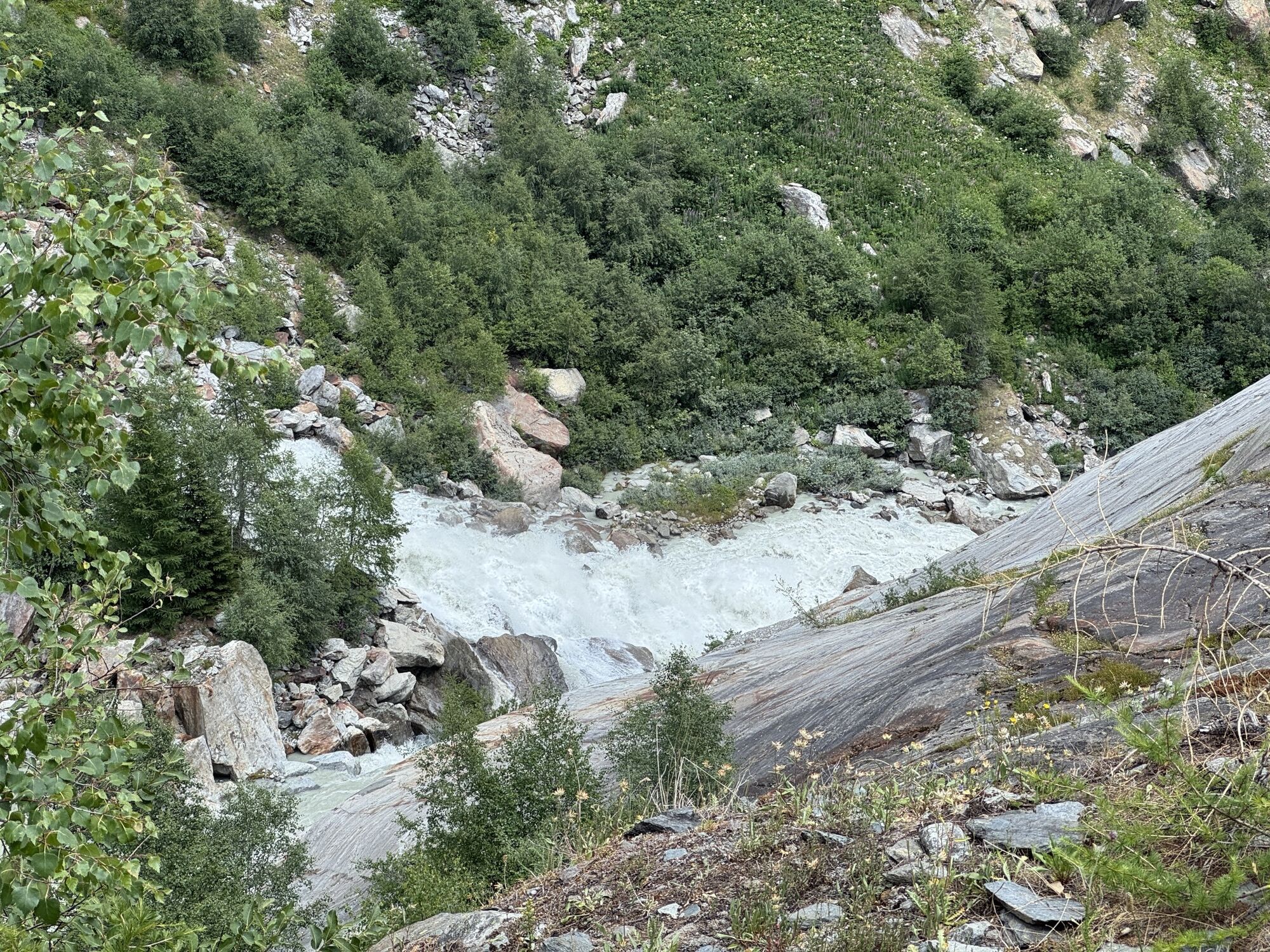
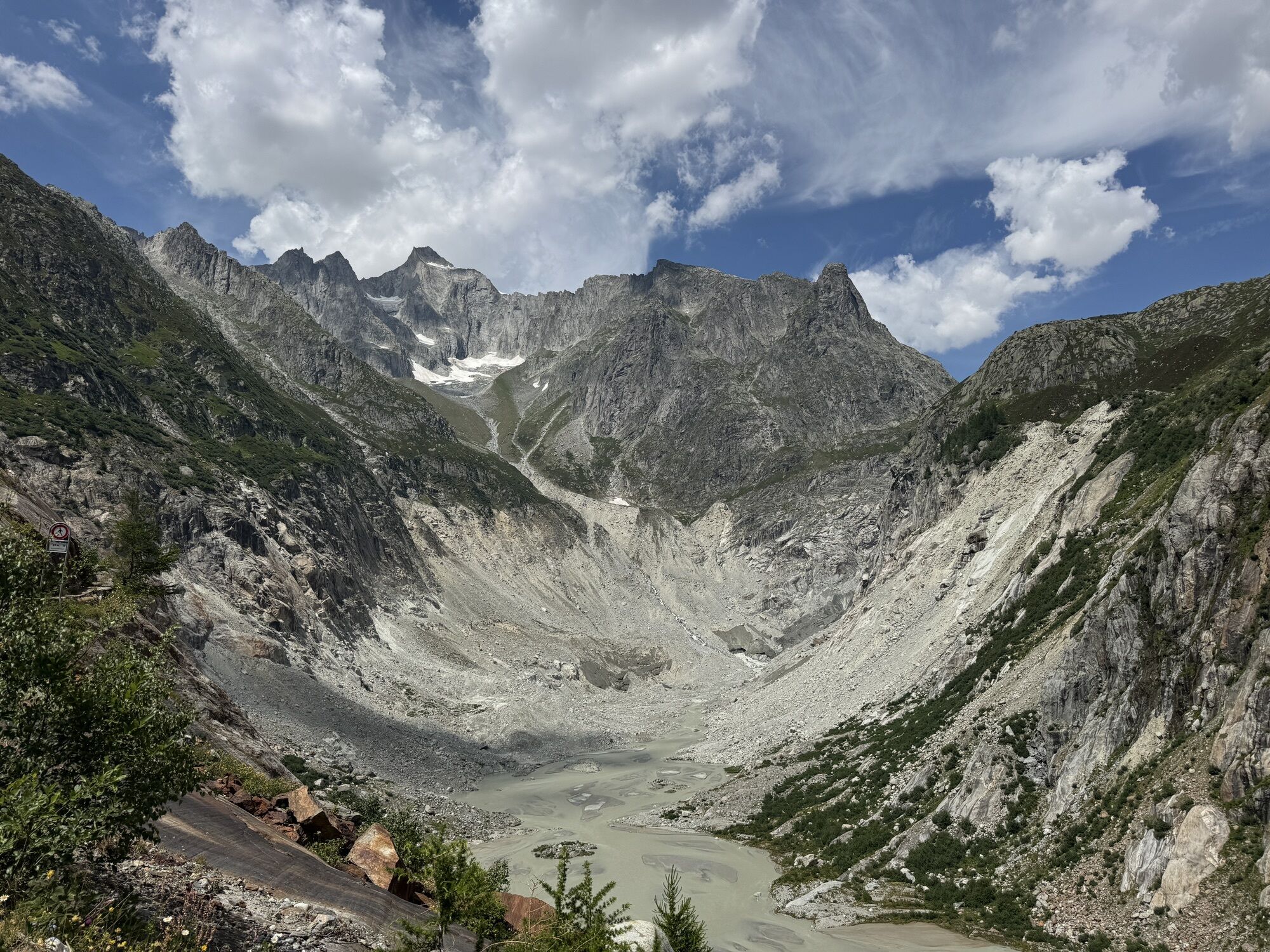
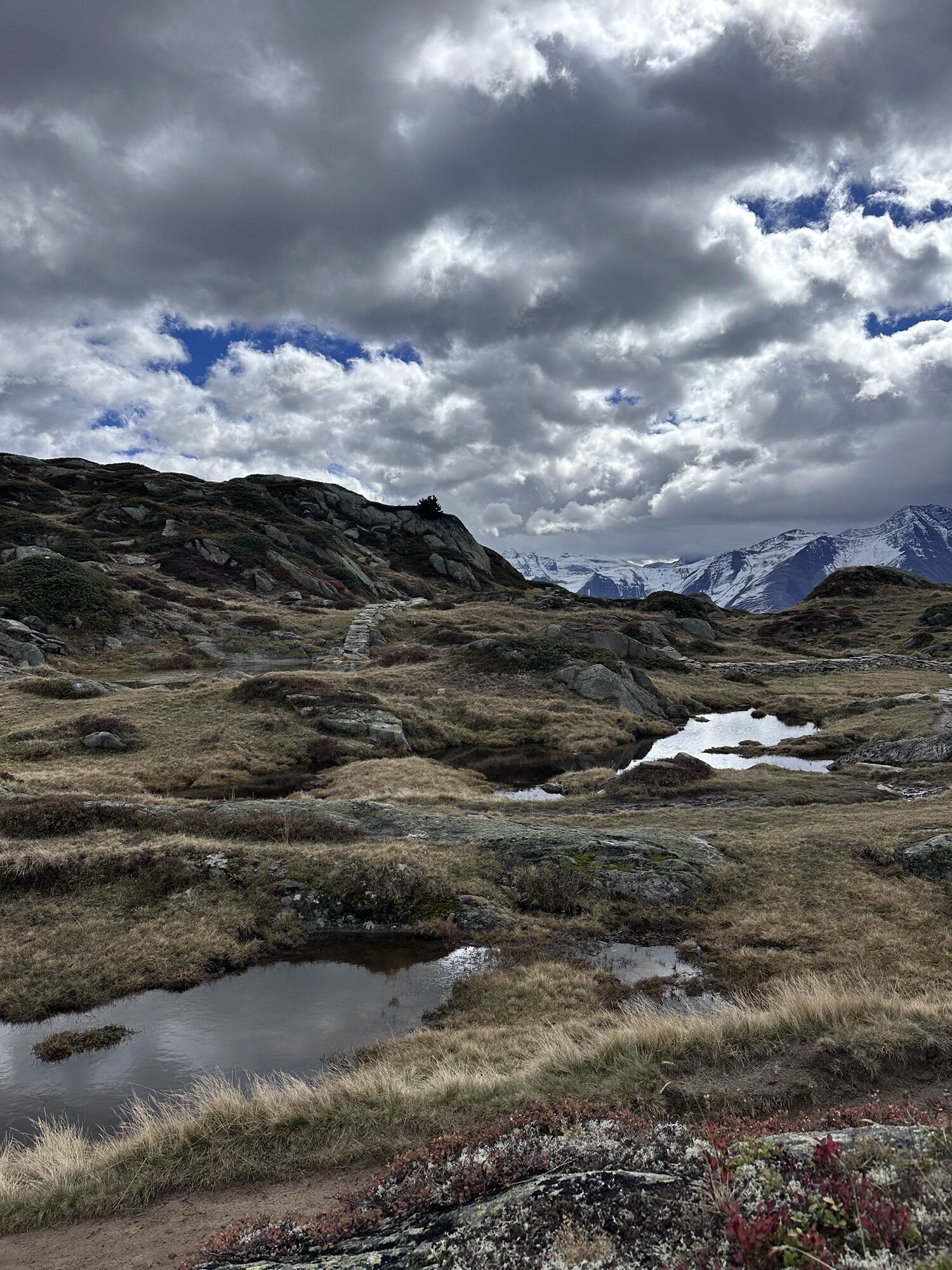
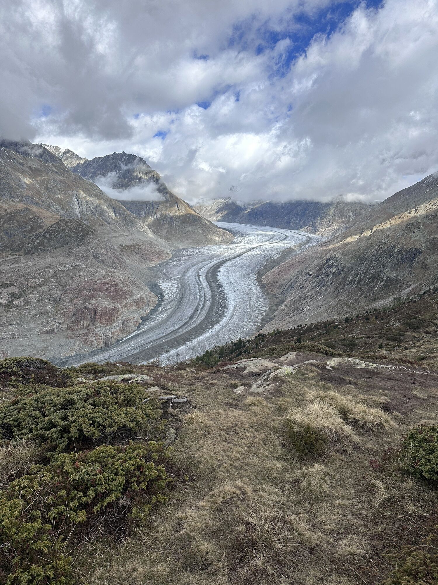
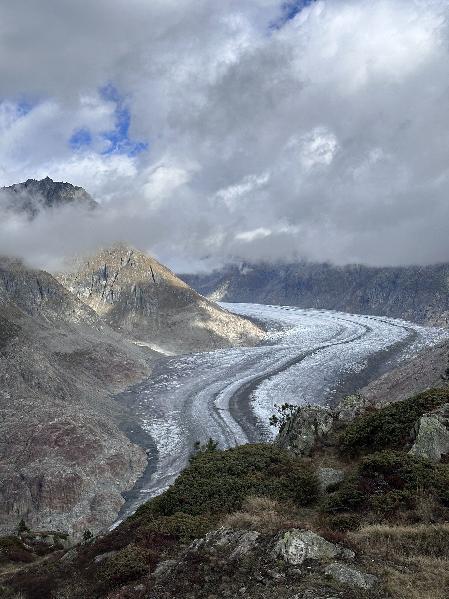
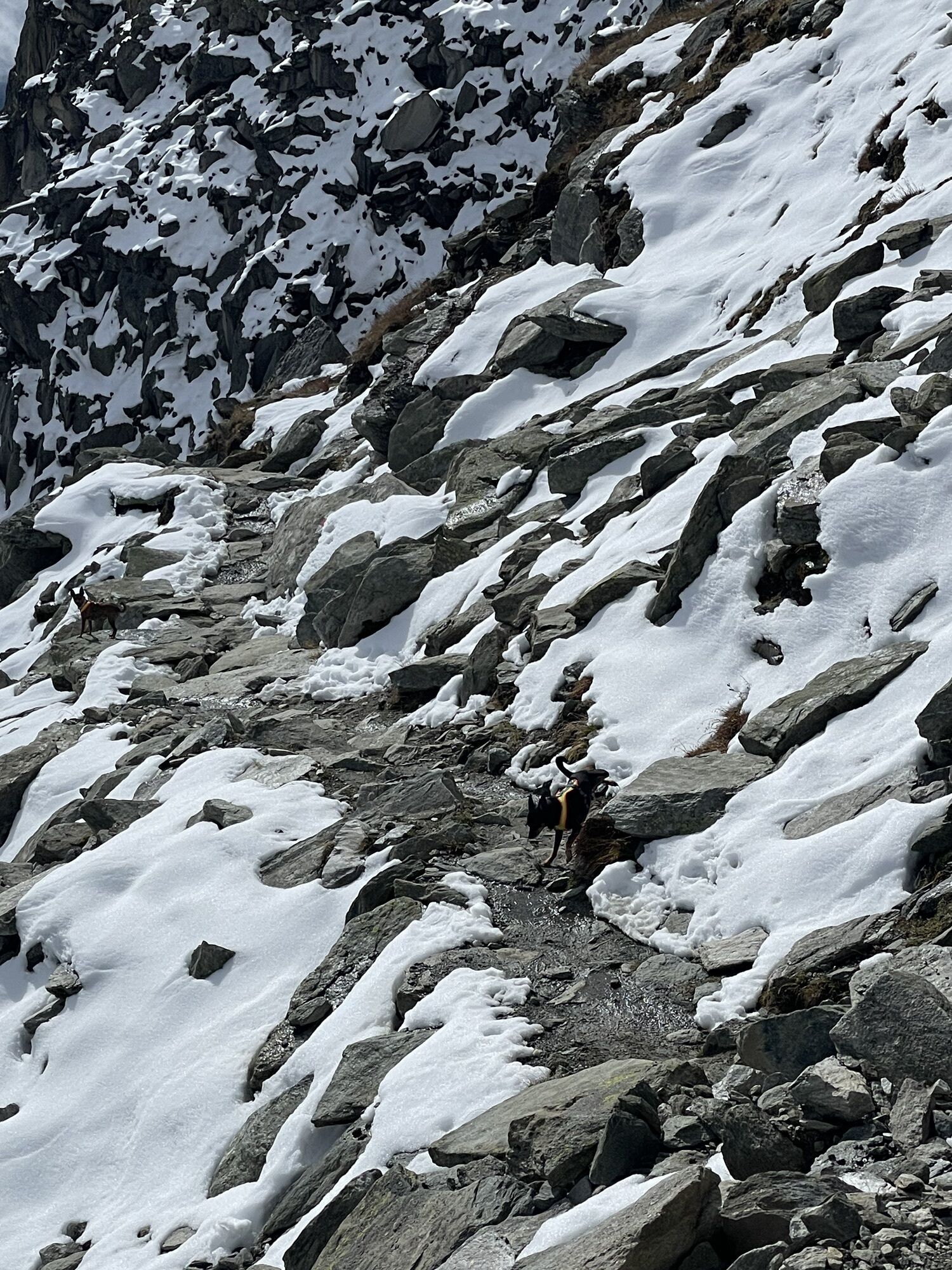
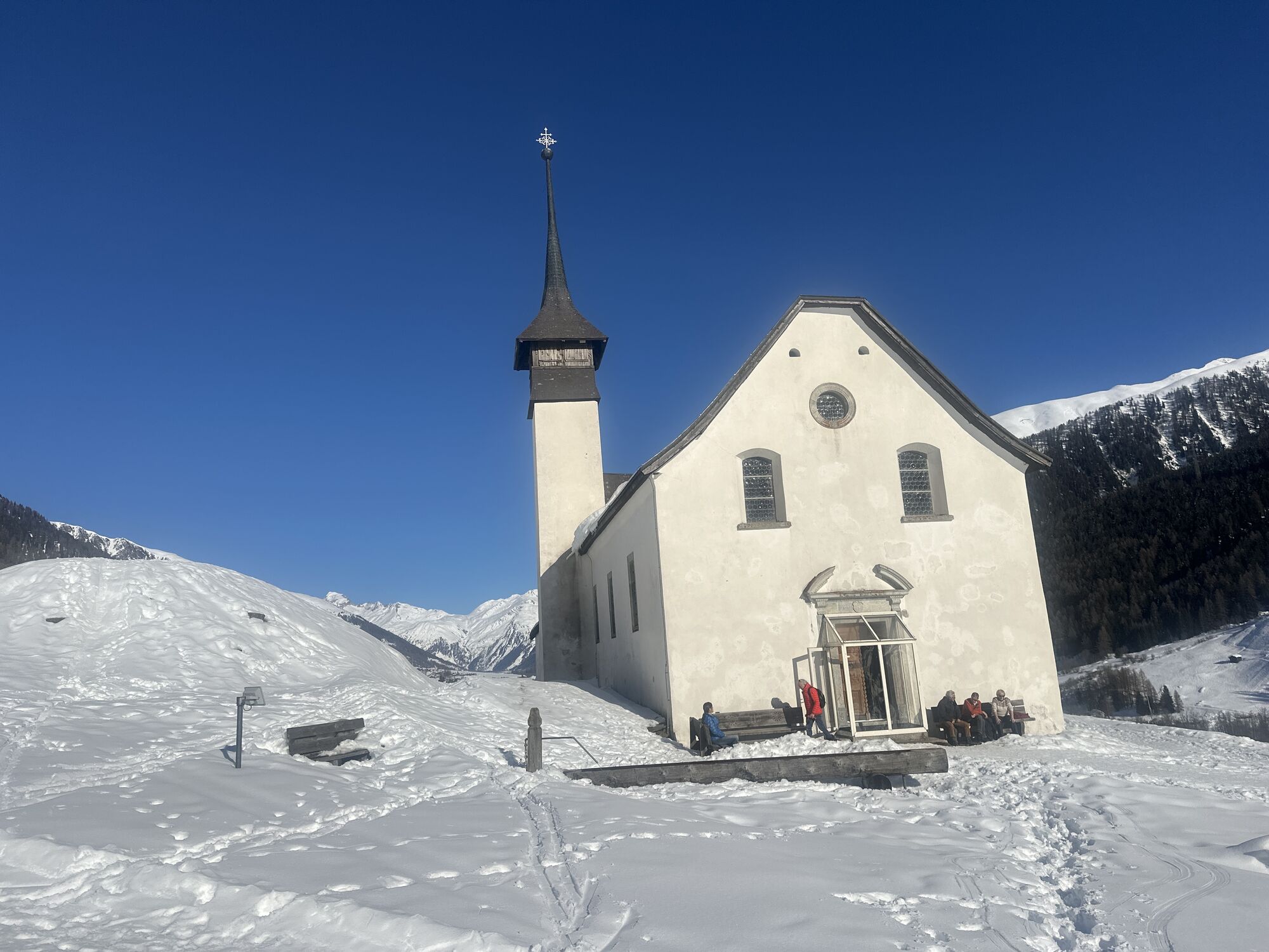
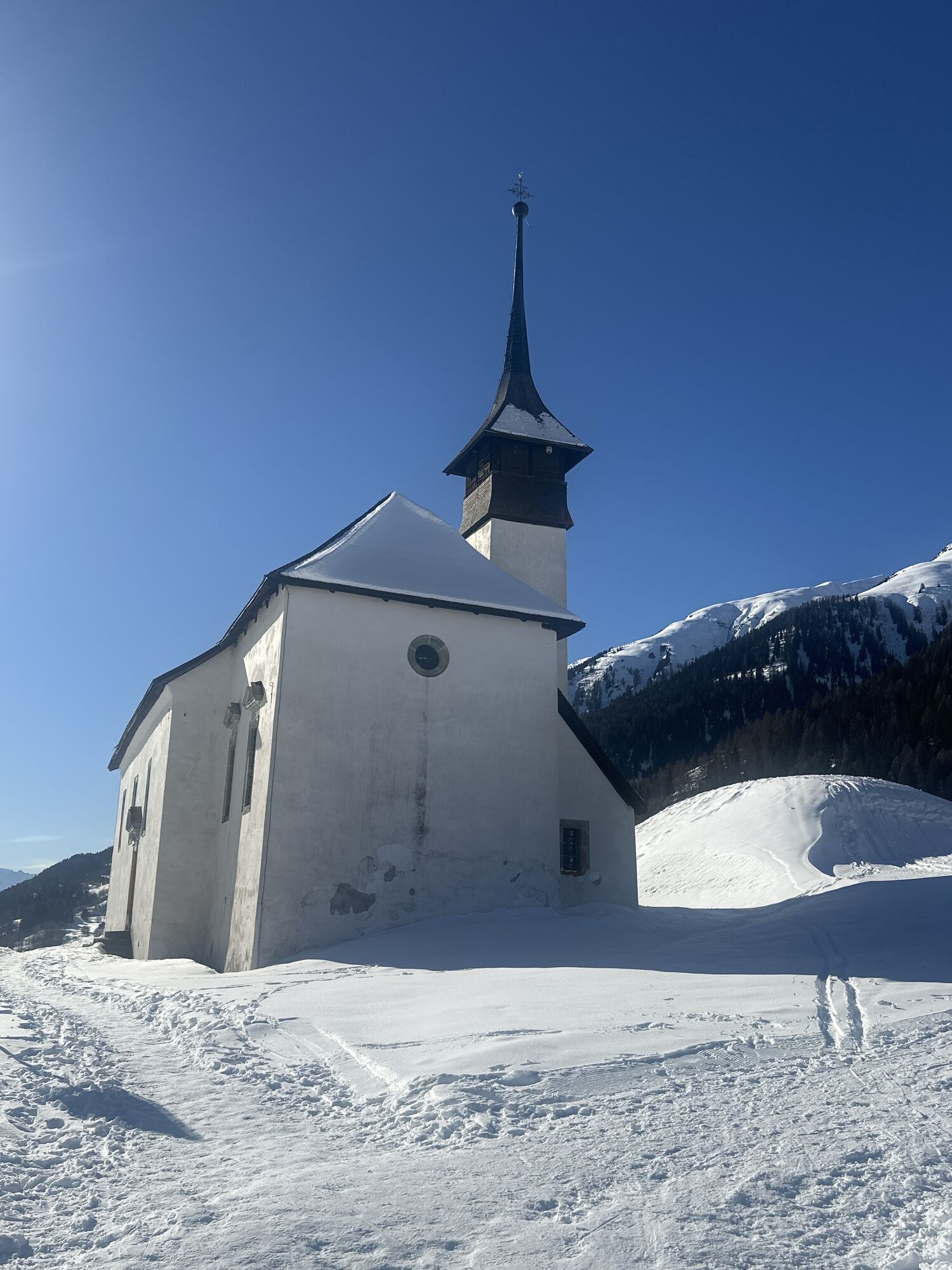
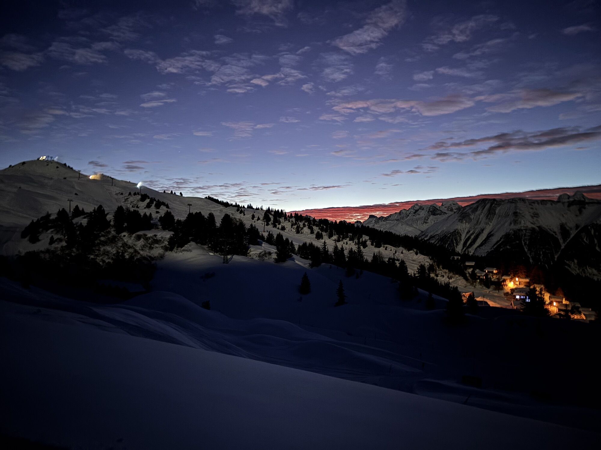
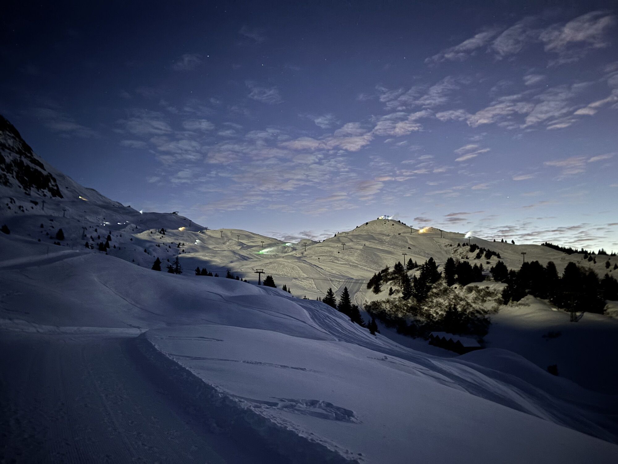

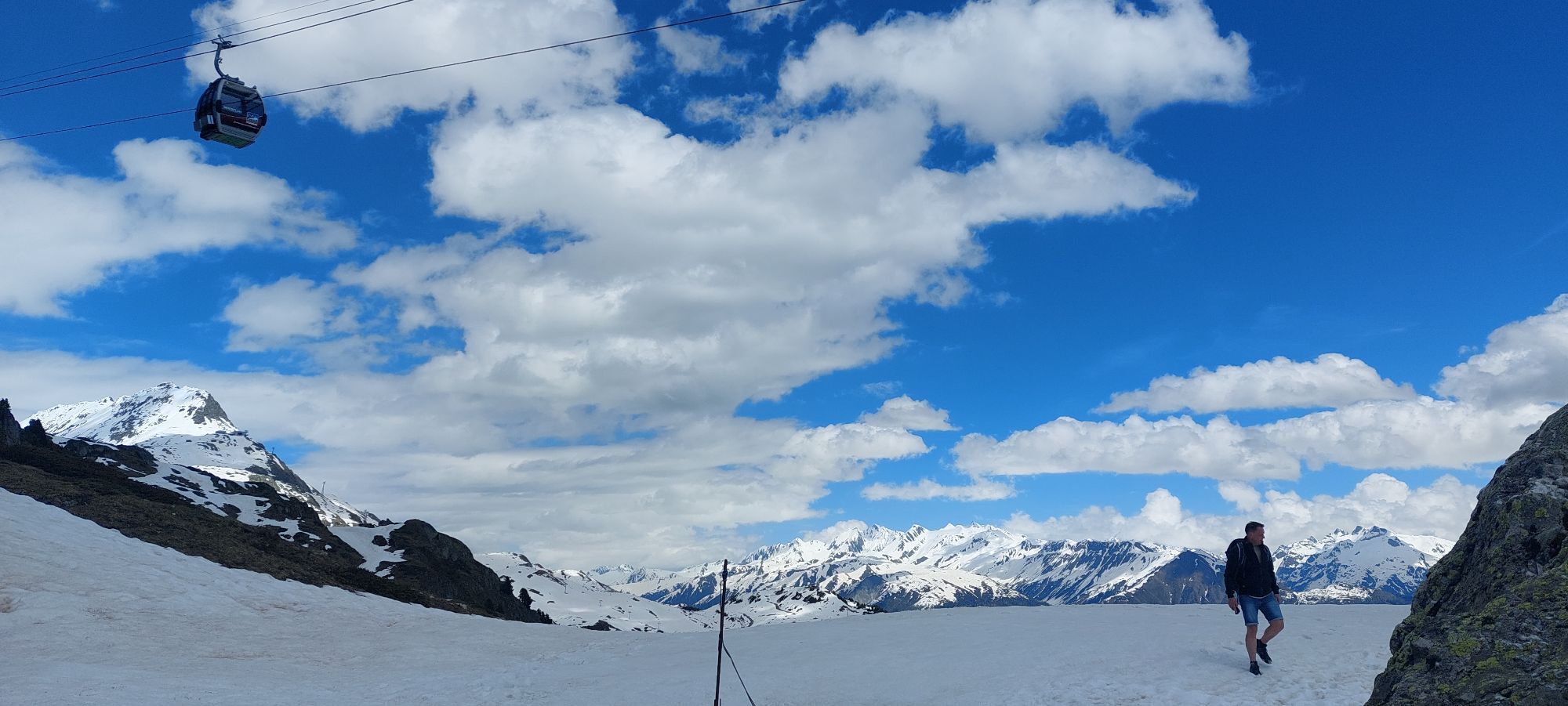
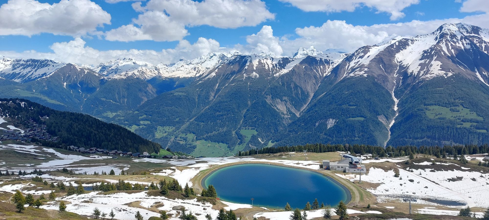
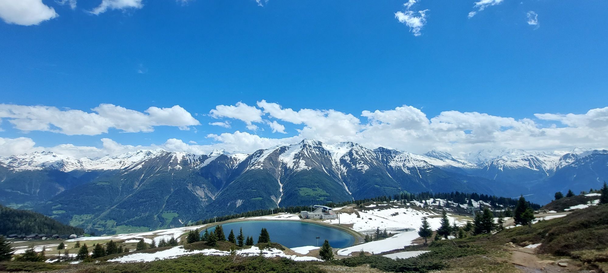
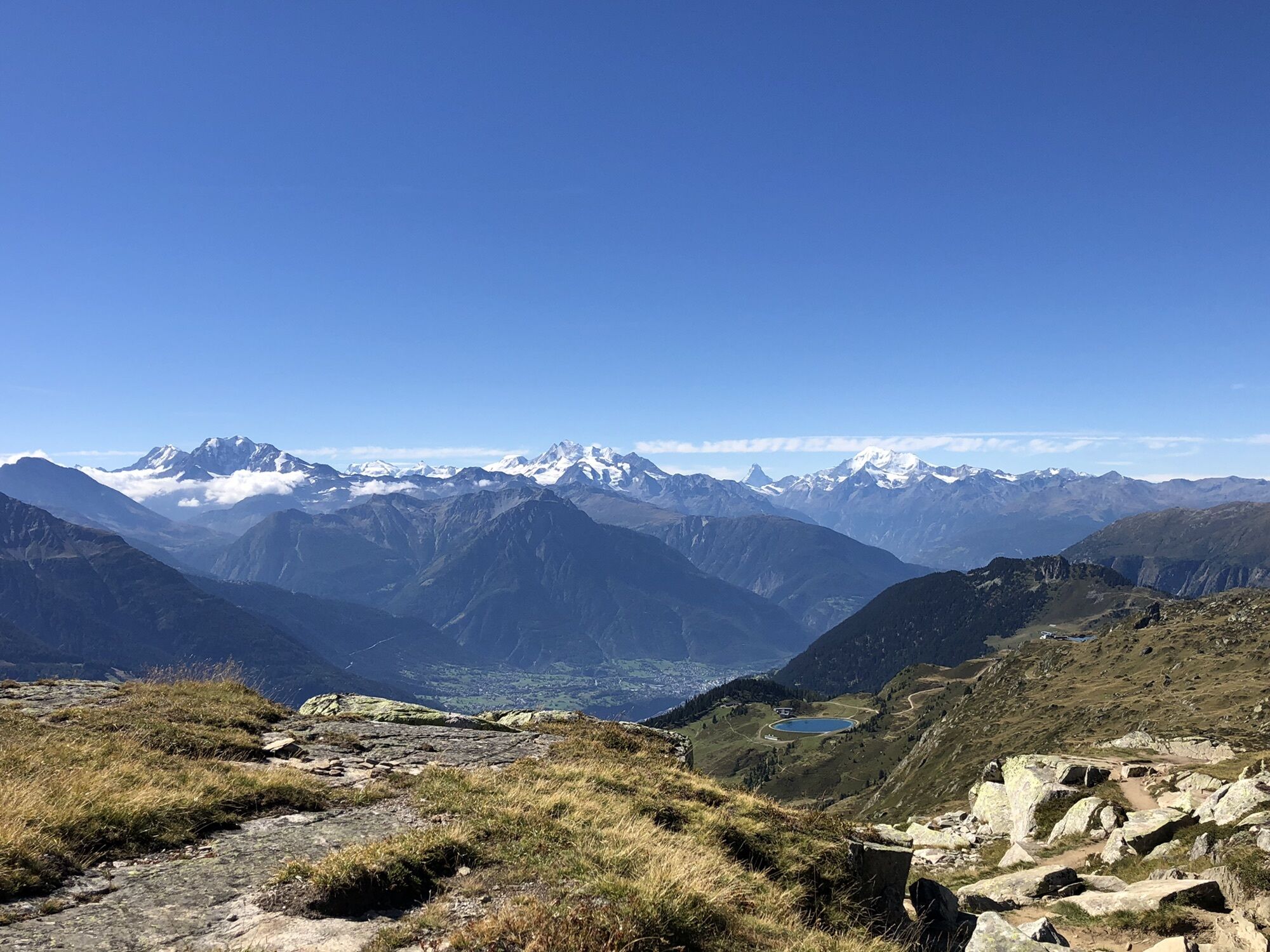
After the success of Stoneman Glaciara for mountain bikers, here is now the Stoneman Glaciara Hike, an exclusive adventure for hiking and trail running enthusiasts.
Discover this magical trail route on...
After the success of Stoneman Glaciara for mountain bikers, here is now the Stoneman Glaciara Hike, an exclusive adventure for hiking and trail running enthusiasts.
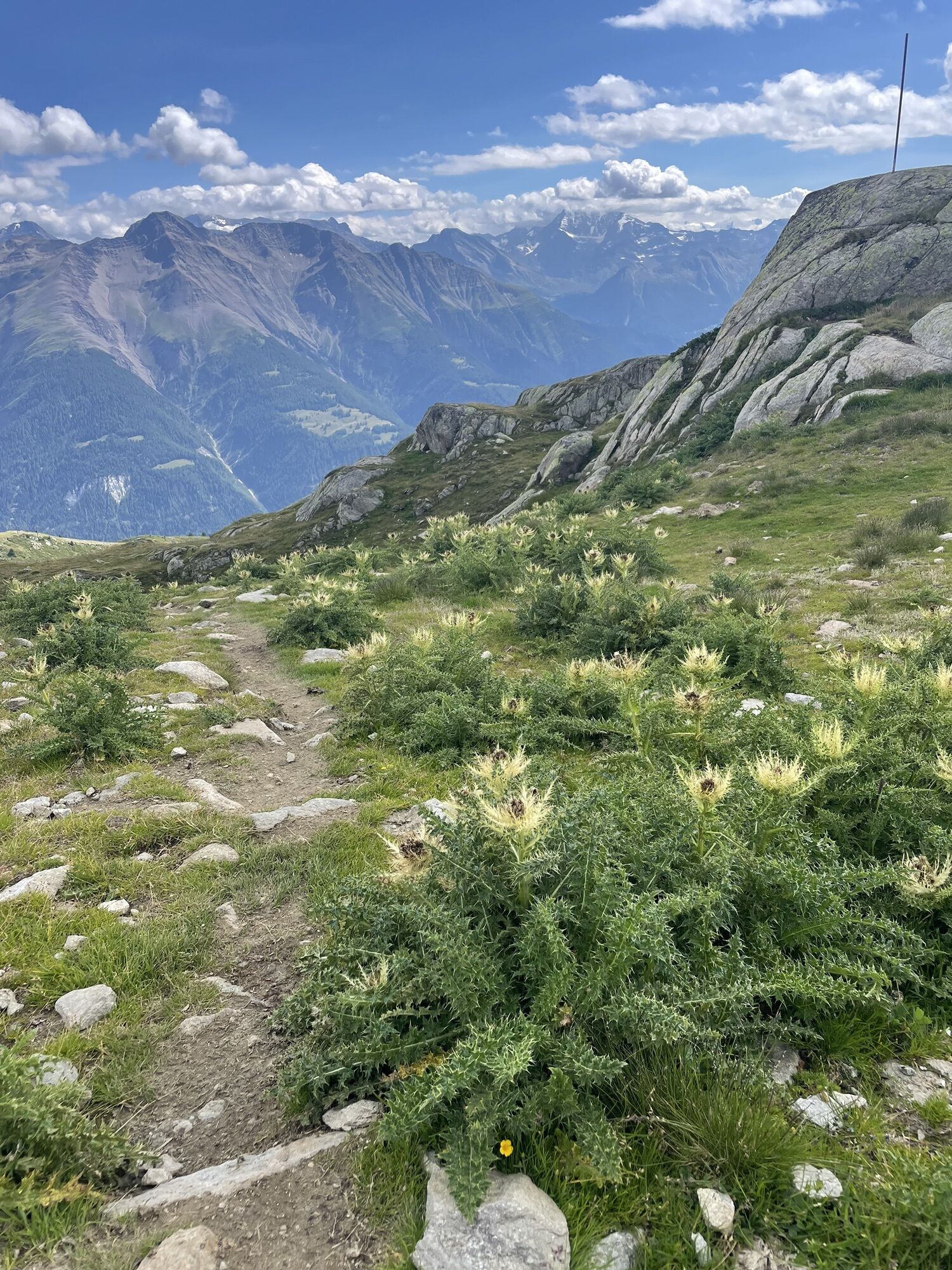
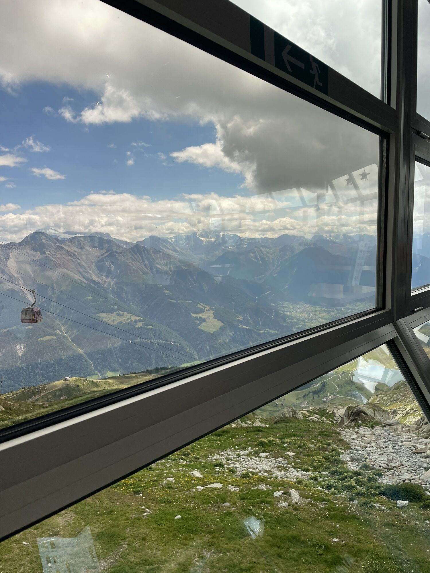
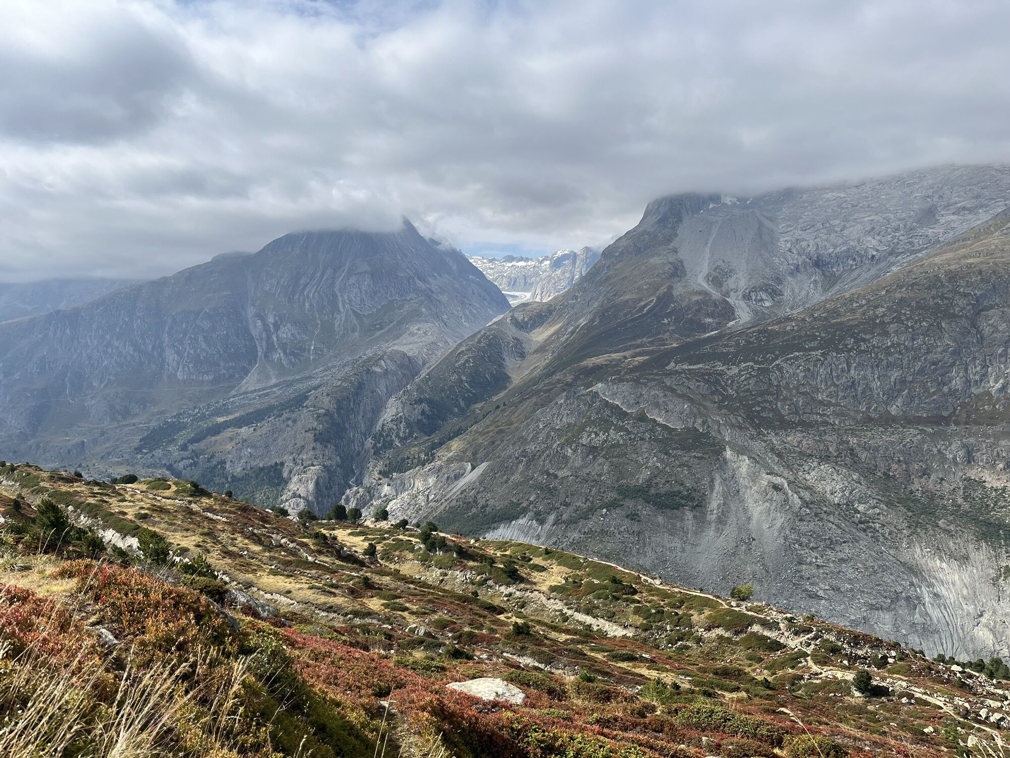
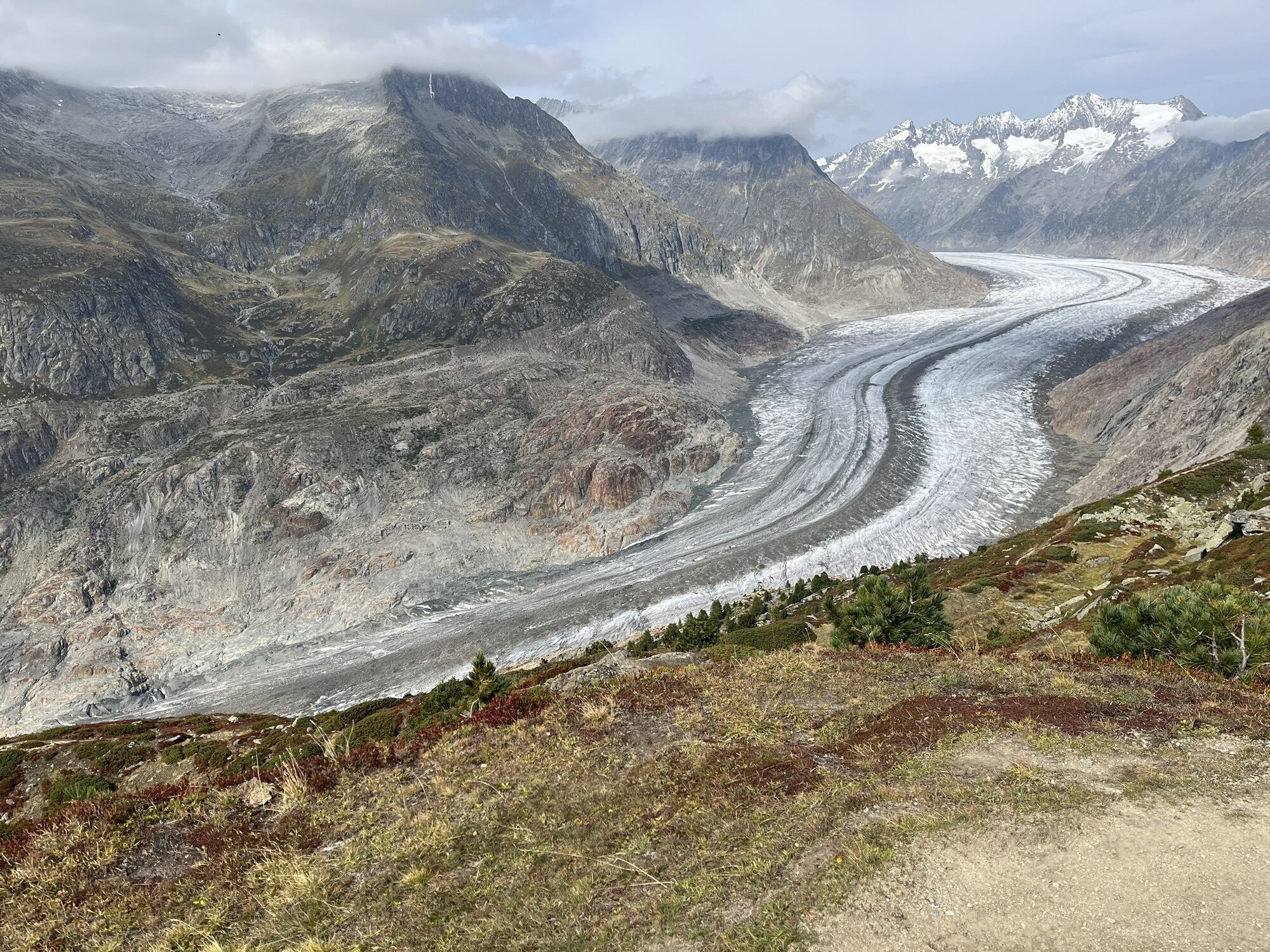
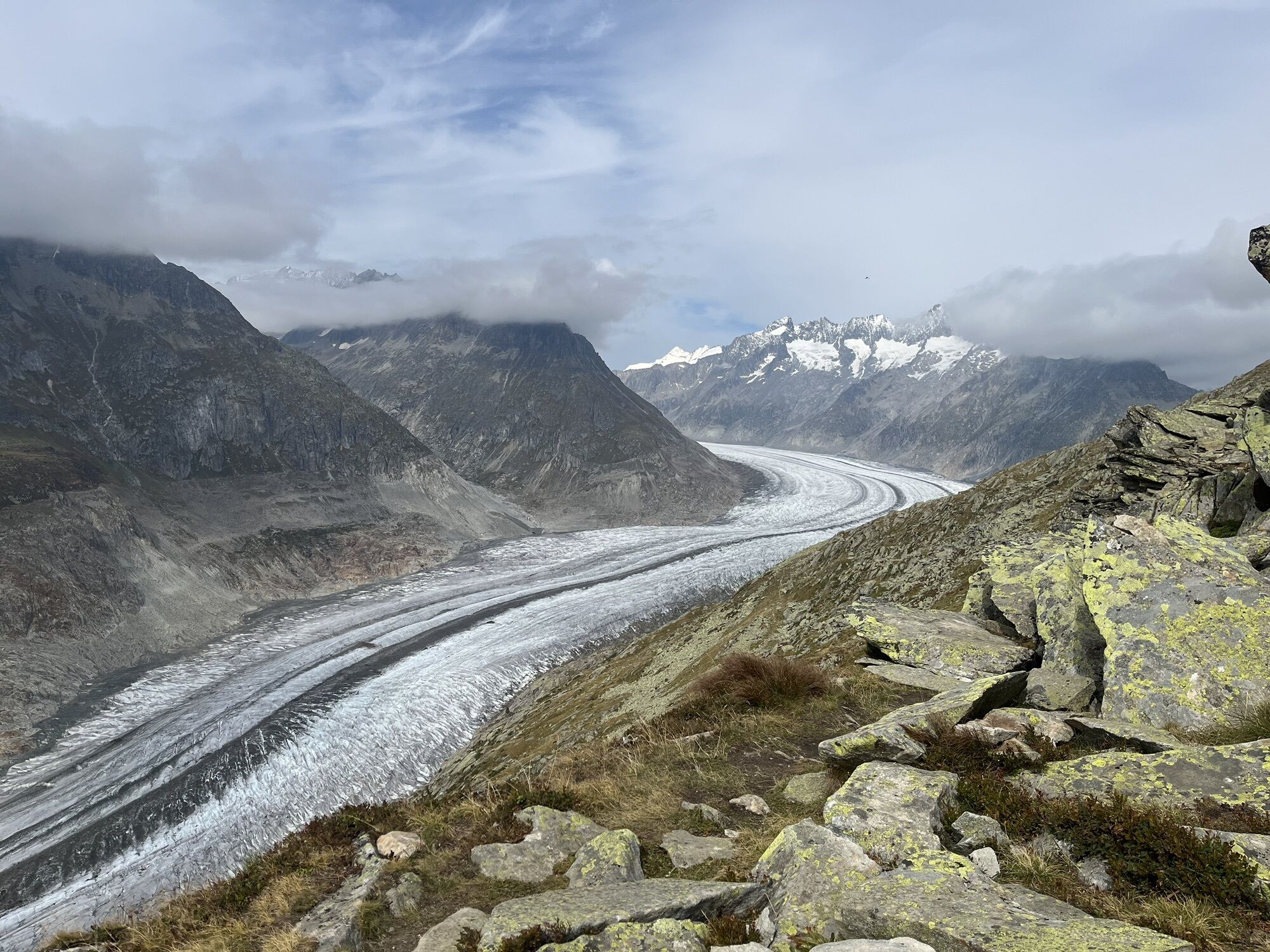
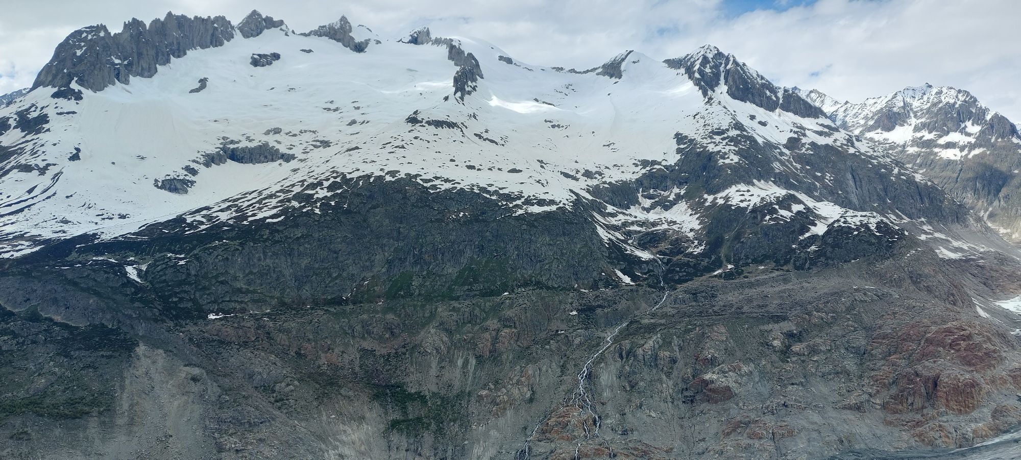
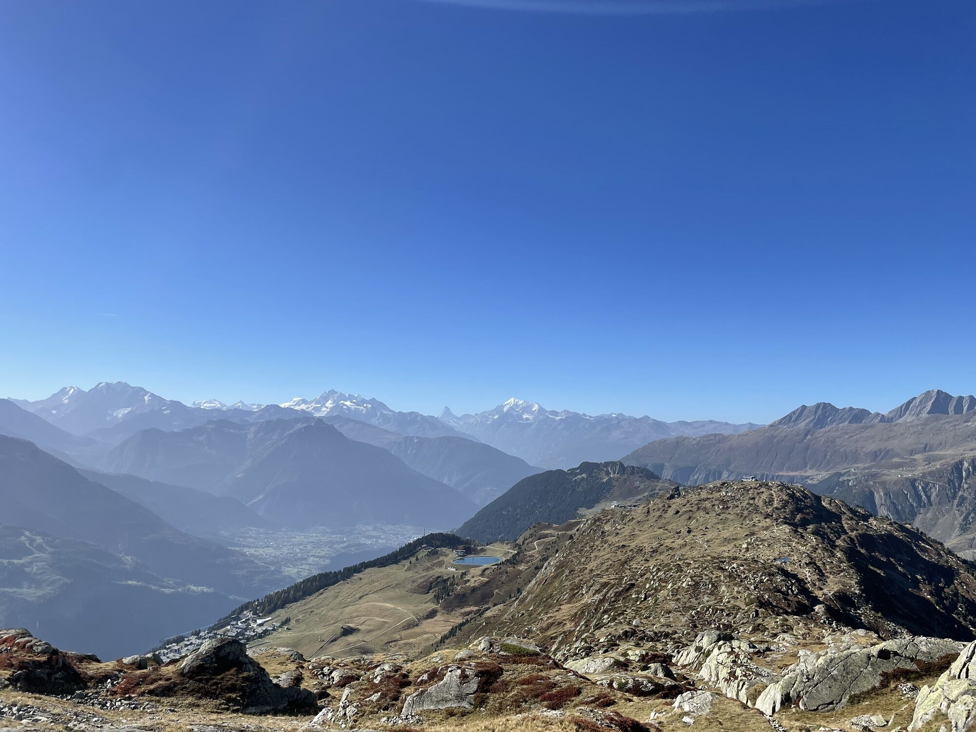
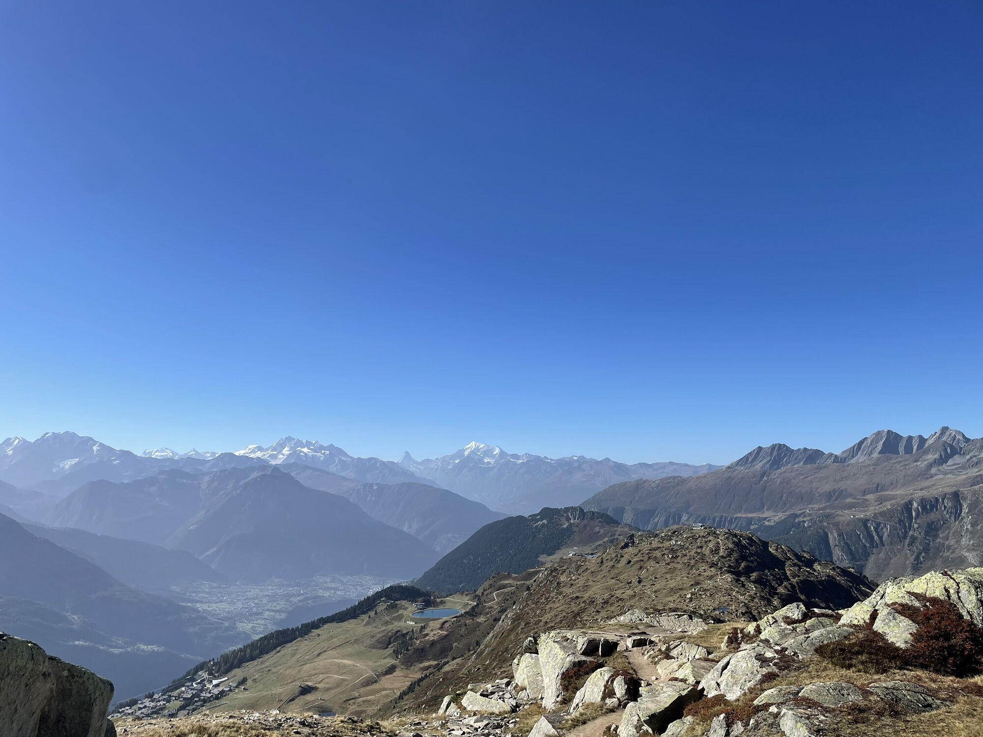
Discover this magical trail route on paths winding through mystical forests, leading upwards to offer fantastic views over a sea of peaks above 4000 meters. On the program, 3150 meters of breathtaking altitude difference, two suspension bridges spanning the valley, a spectacular hike on ridges and billions of tons of ice from the largest glacier in Central Europe – this is what Stoneman Glaciara Hike offers.
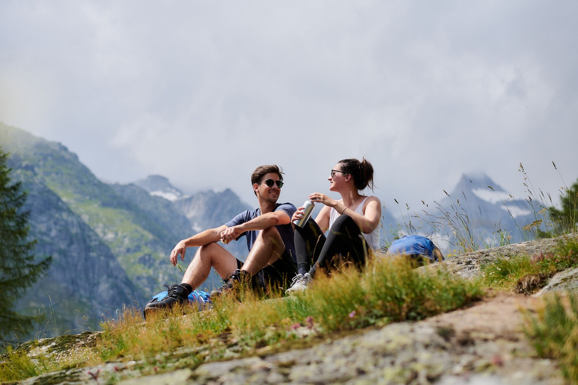
Choose to complete the route at your own pace, in trail running mode or walking, and experience the Stoneman Glaciara Hike in one, two, or three daily stages.
Get the official starter pack and follow the perfectly marked itinerary for an amazing experience.

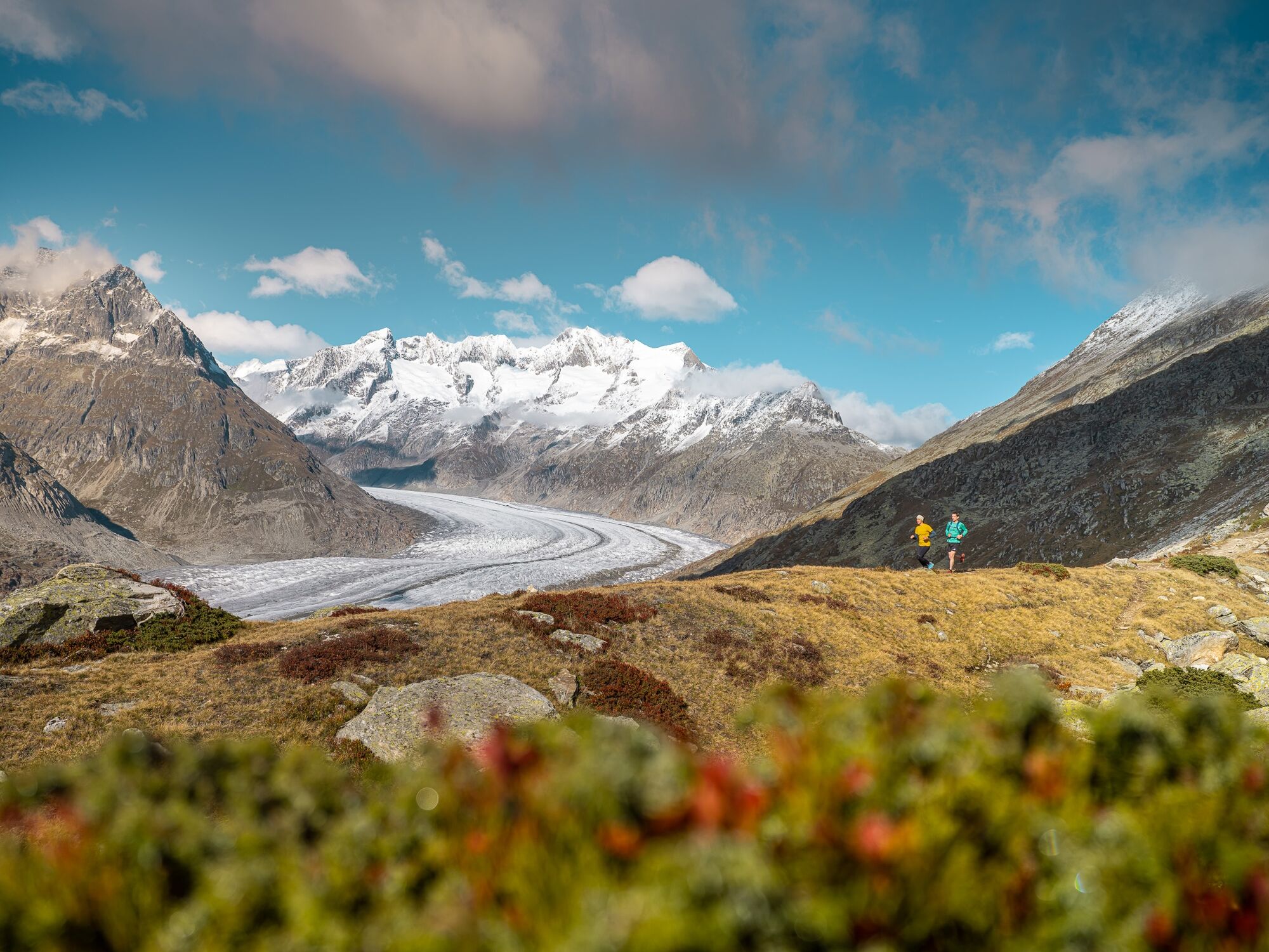
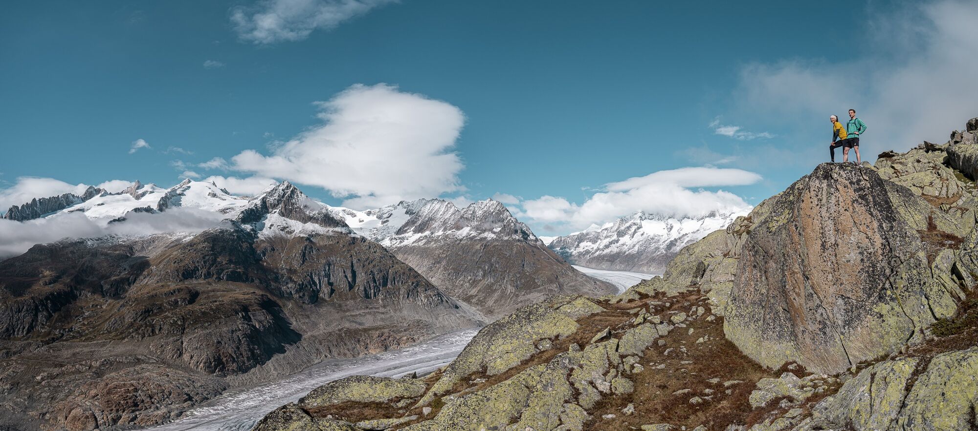
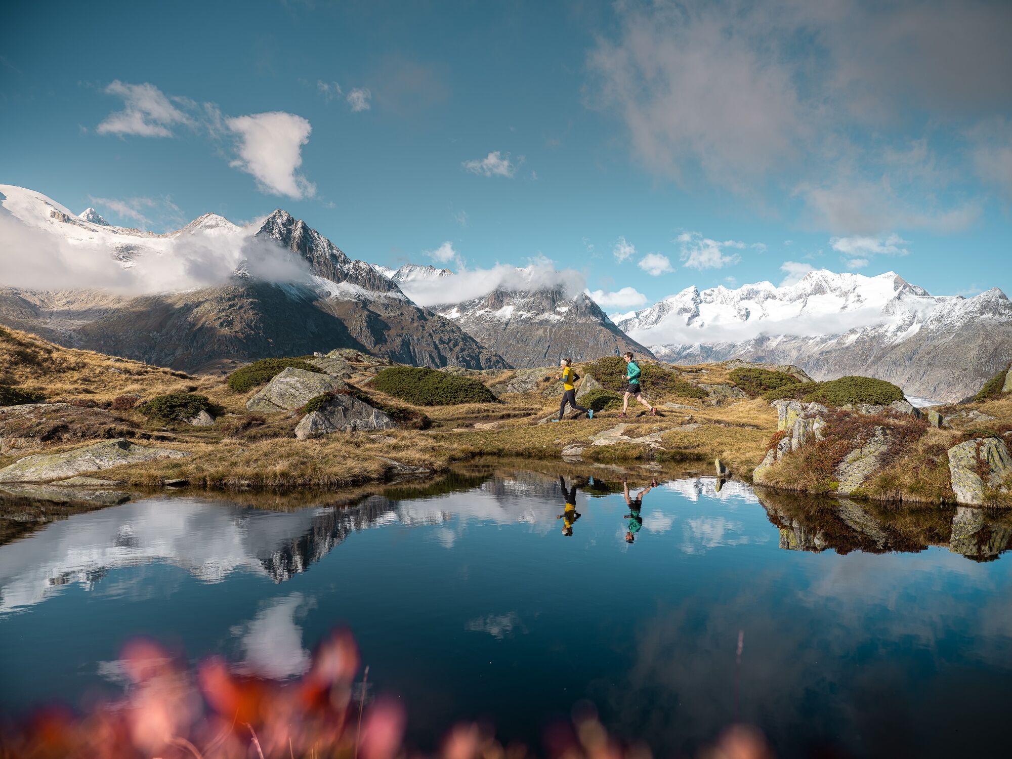
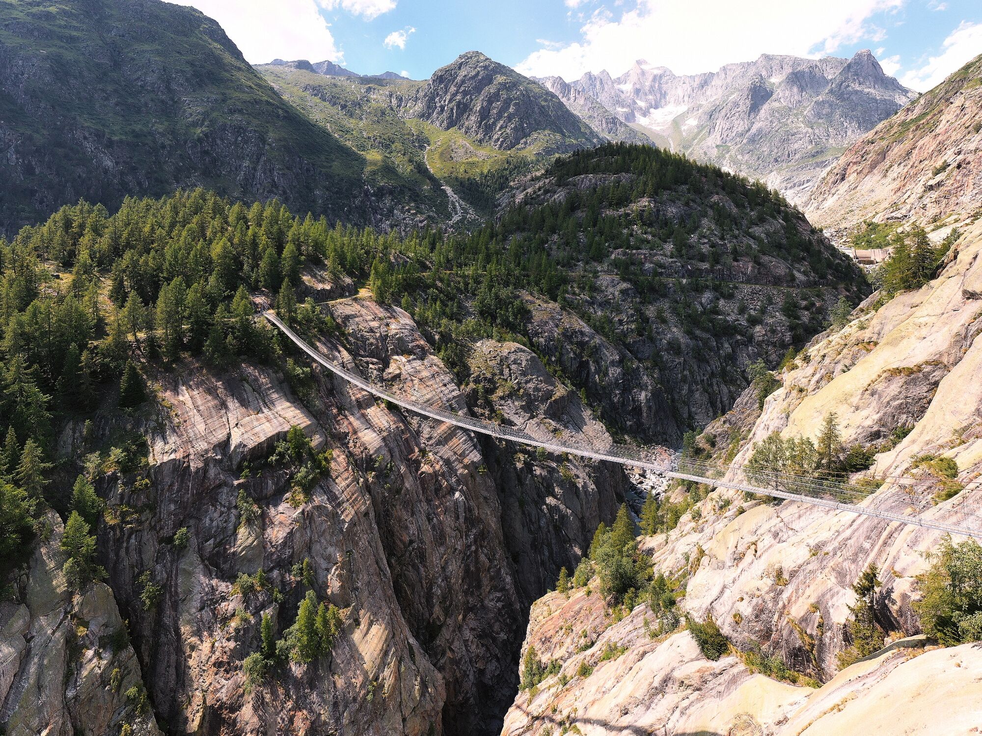

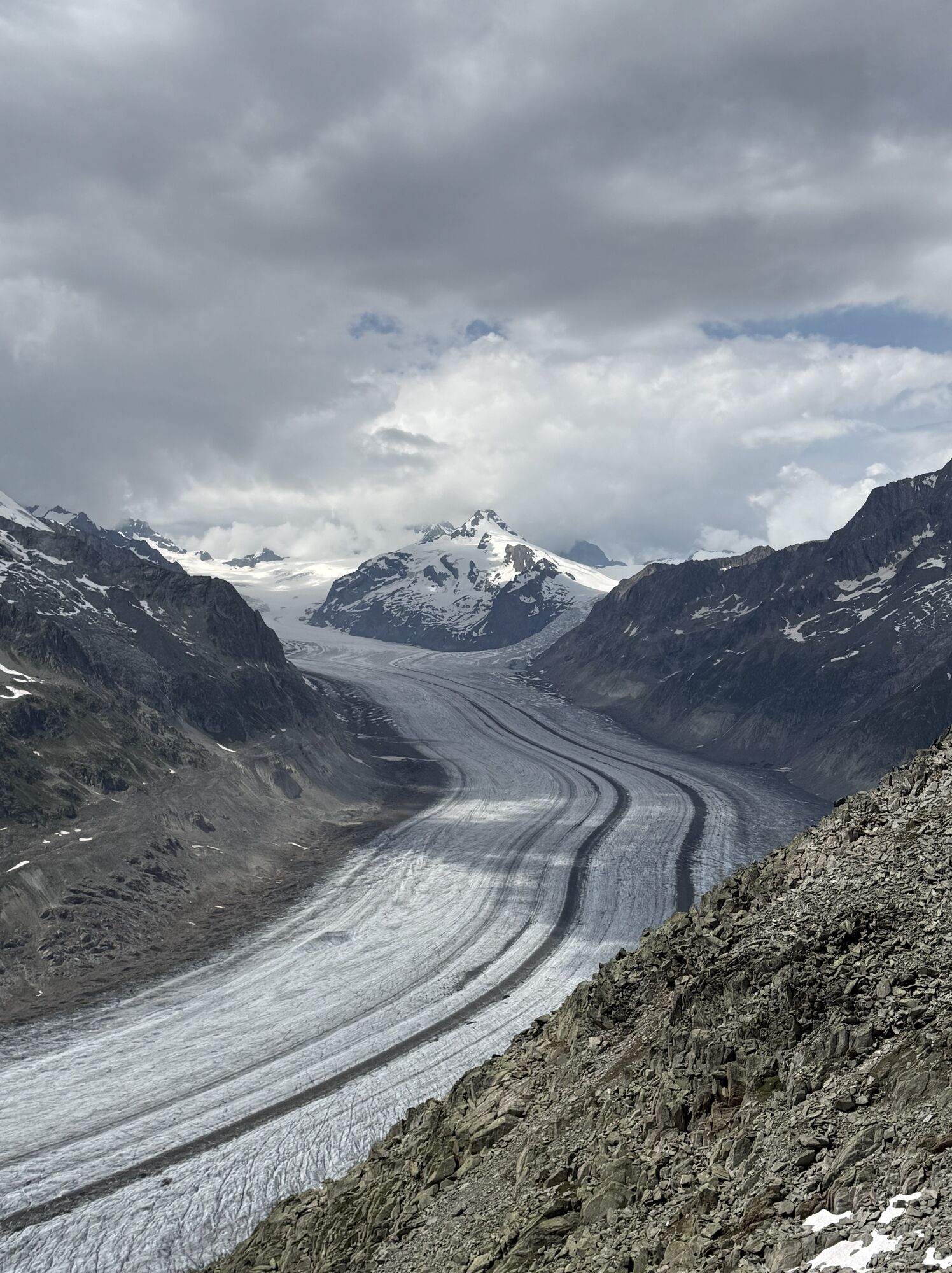
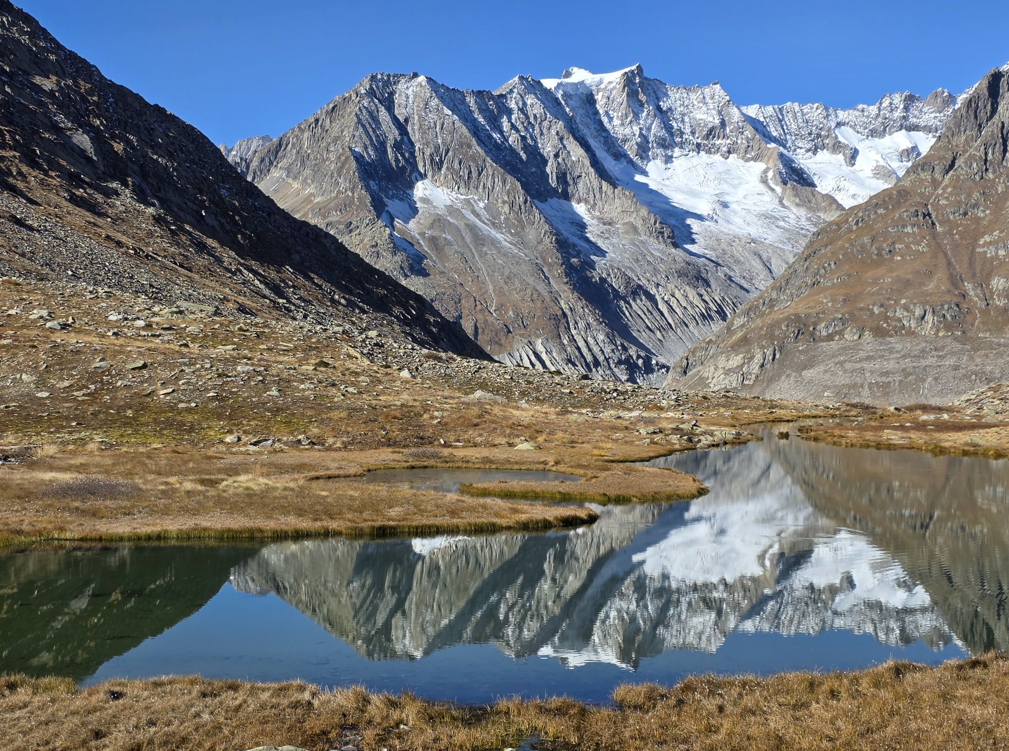
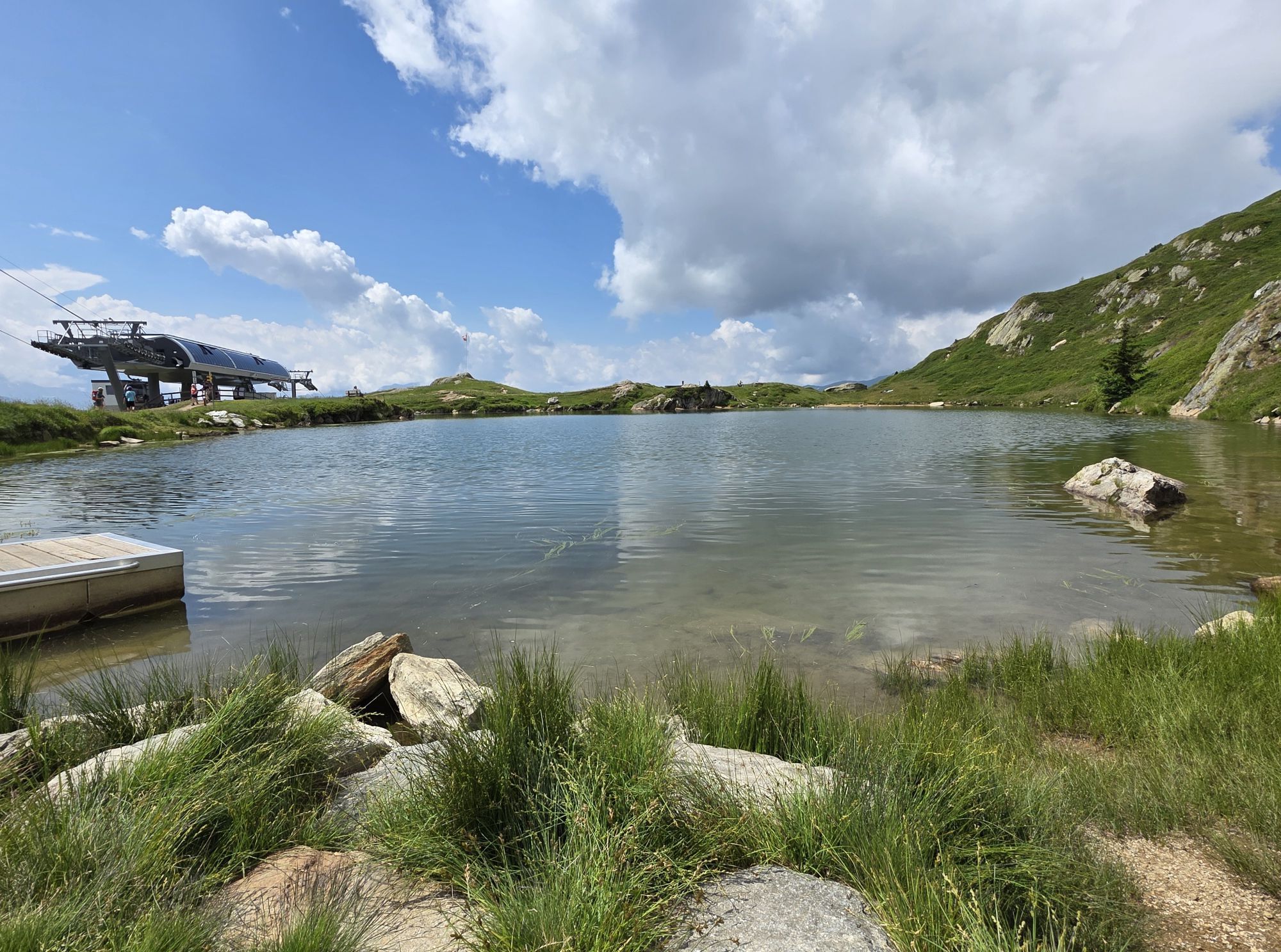
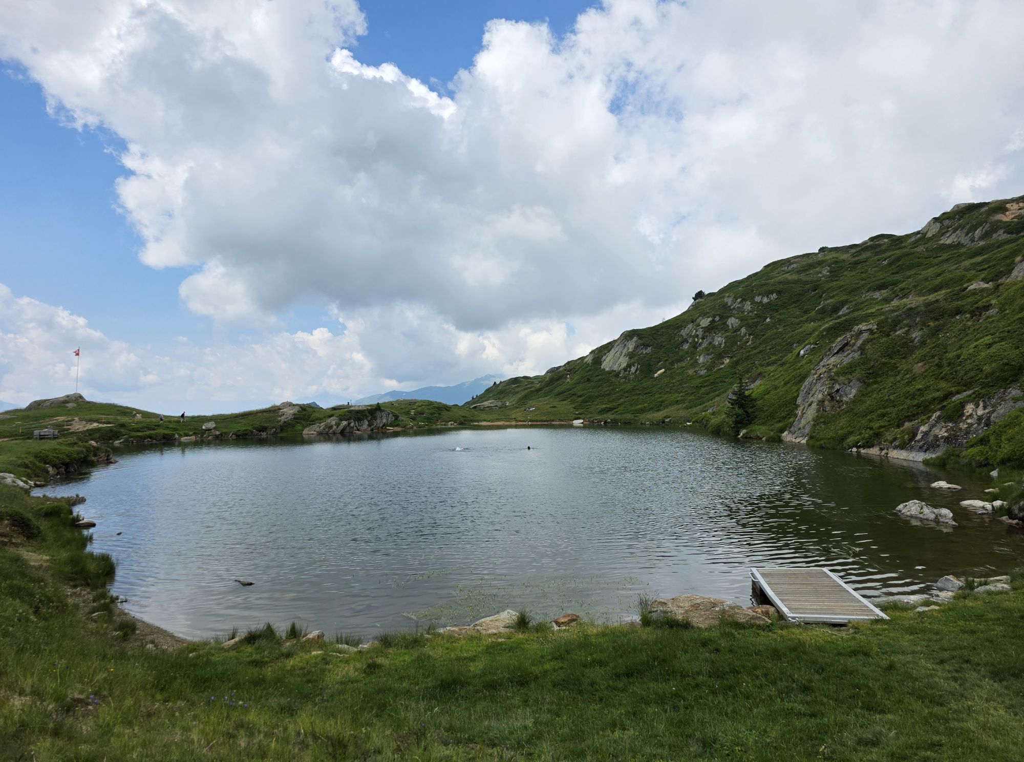
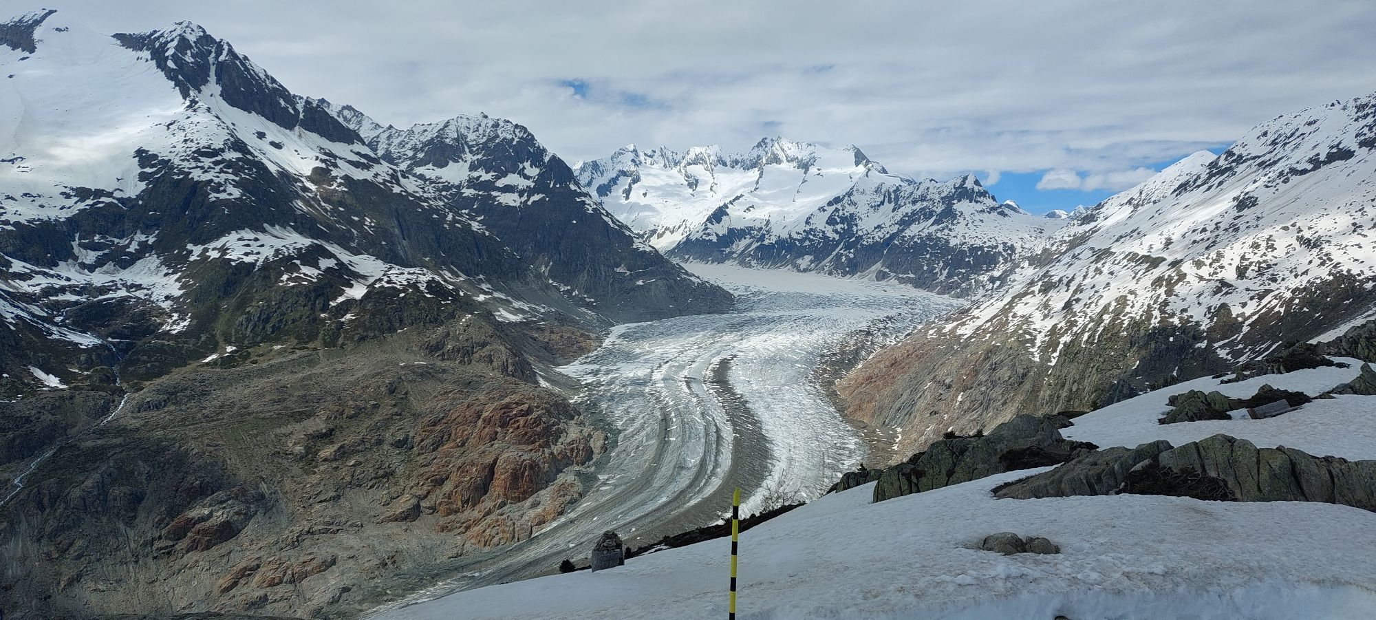
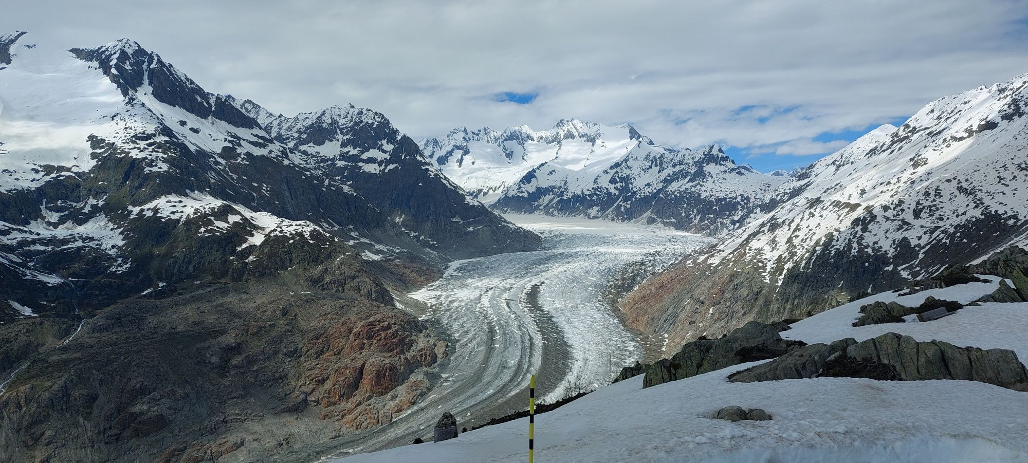
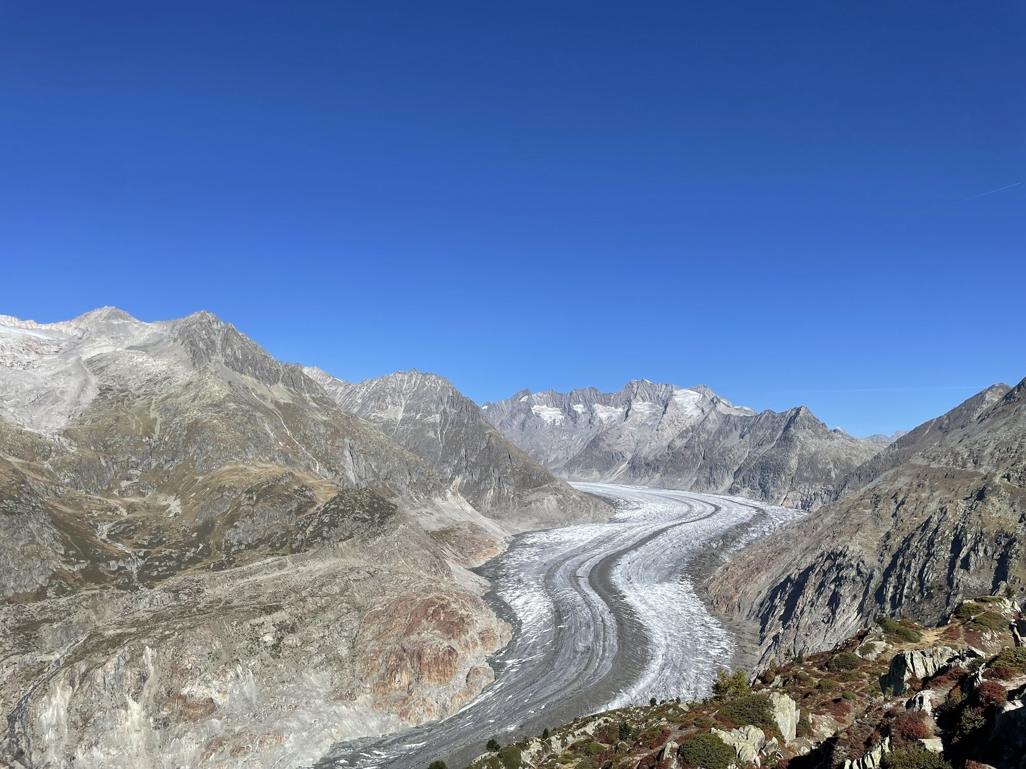
The route starts in Biel in the Conches valley. Gain altitude by following the Gommer Höhenweg trail to Bellwald and the Aspi-Titter suspension bridge. After crossing it, a steep climb awaits you to the crystal-clear waters of Märjelenwang. Once you reach Märjelen, you pass by the lake and continue to the Eggishorn, where you will have a magnificent view of the longest ice stream in the Alps, the great Aletsch Glacier.
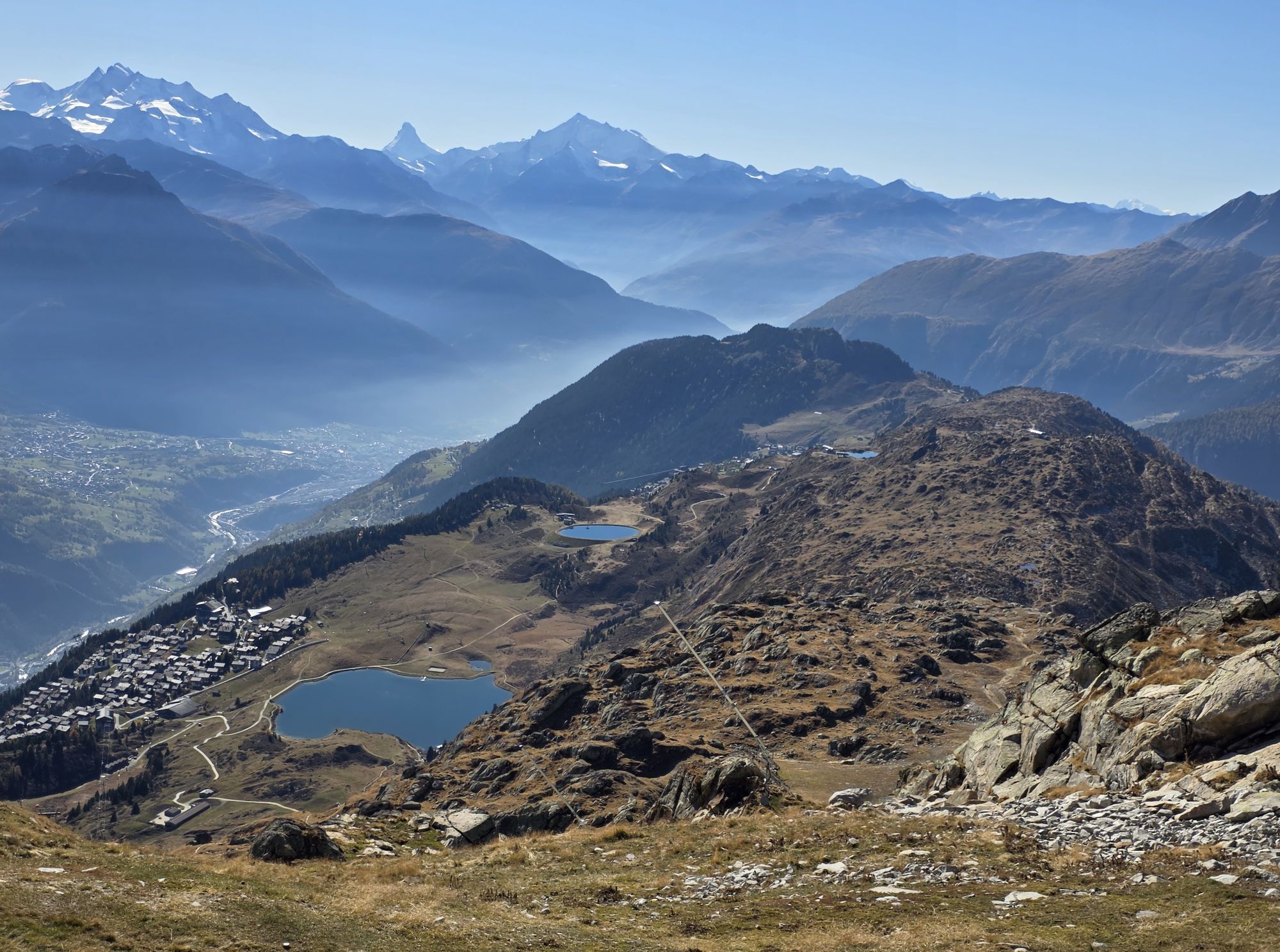
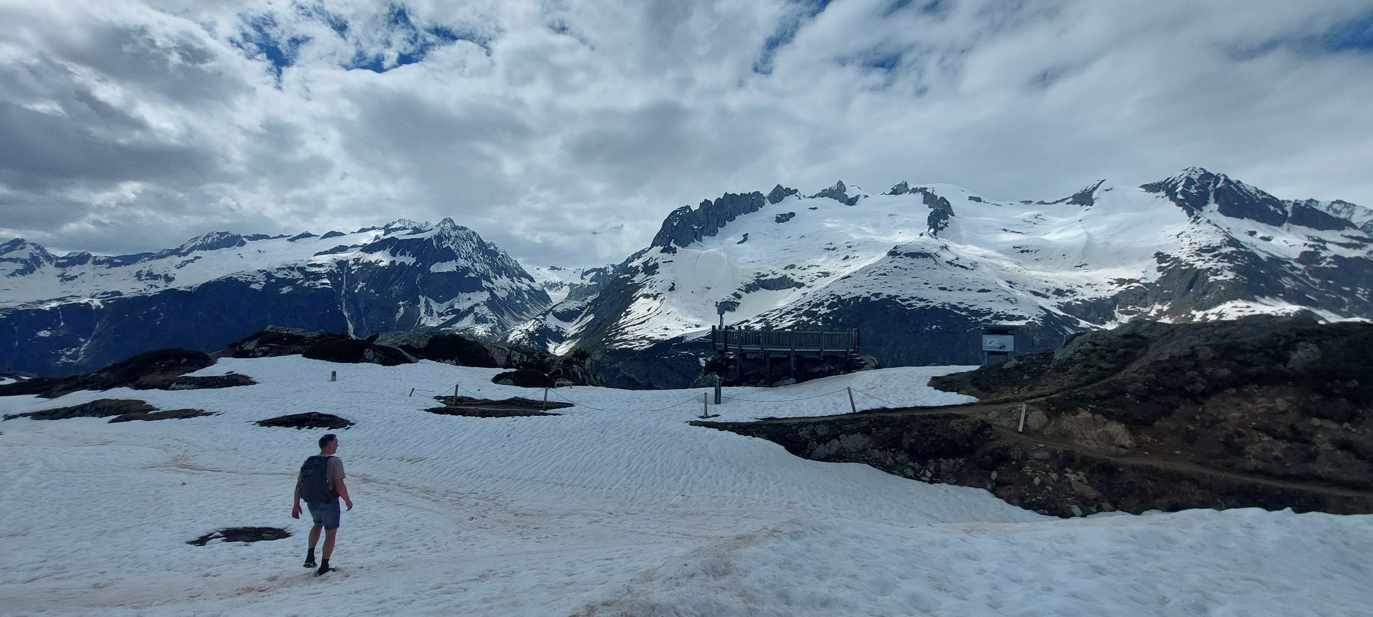
Immediately after, experience another highlight with the ridge hike from the Eggishorn viewpoint to the Bettmerhorn viewpoint, then to Moosfluh. If the ridge is impassable due to weather conditions, there is an equally breathtaking alternative: the northern detour, which brings you even closer to the giants of ice.
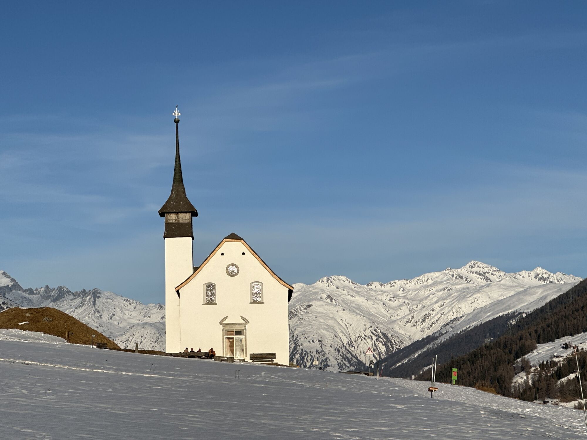
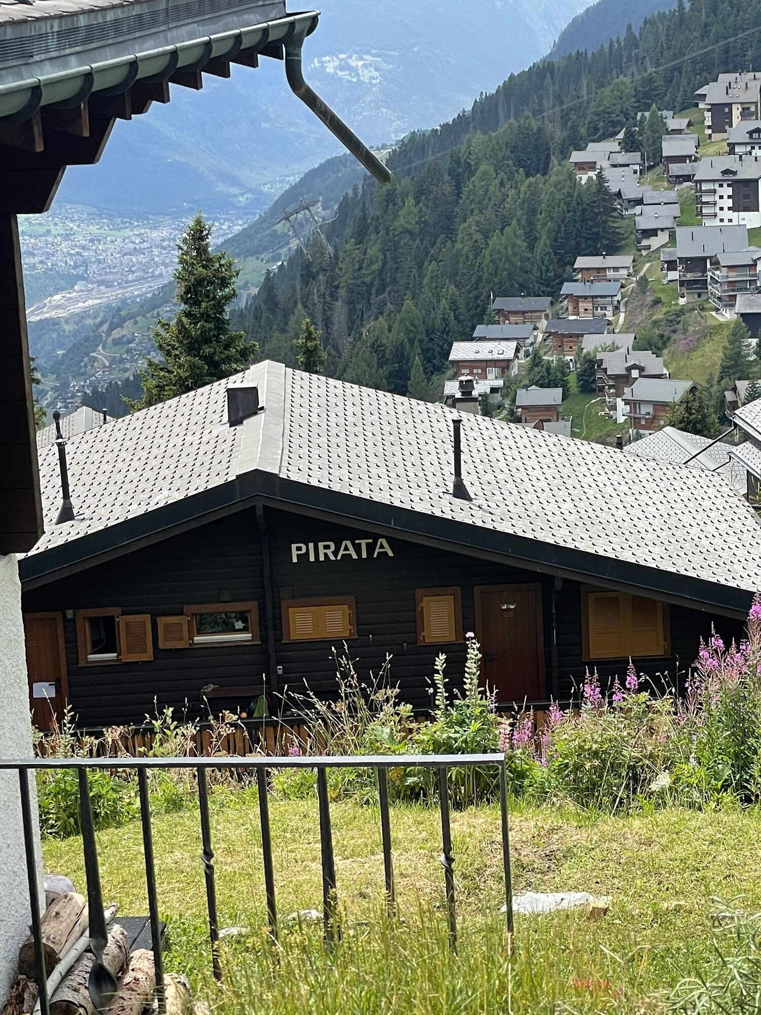
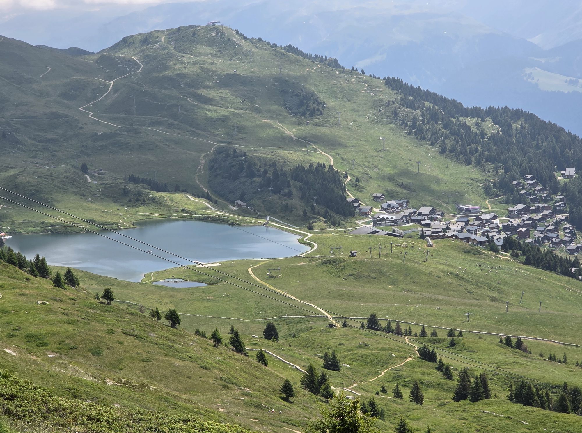
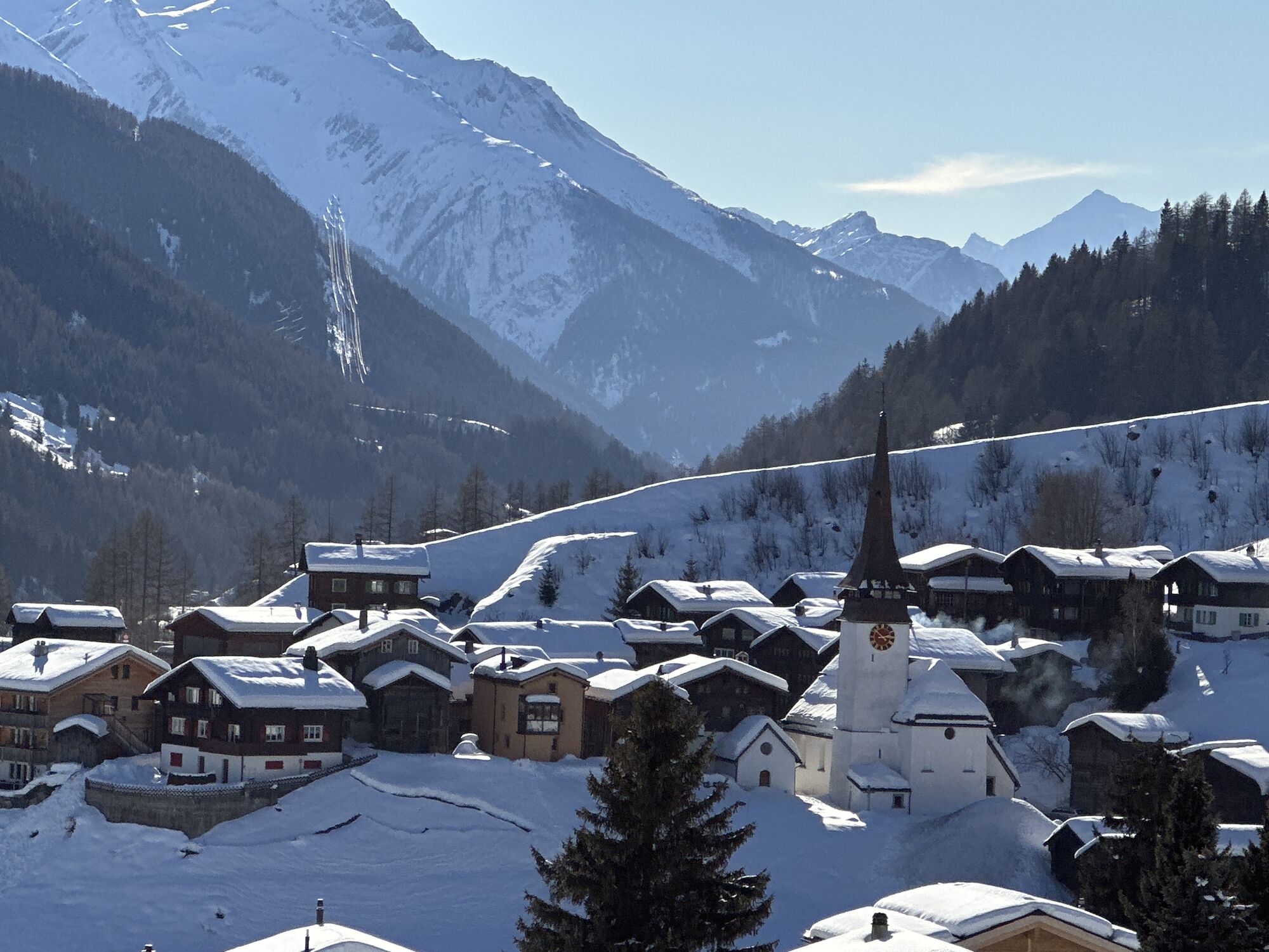
You then descend to Bettmeralp, then continue towards Alpmatten and Martisberg until you reach the holiday village of Fiesch. There, you cross the Rhône, pass the picturesque villages of Ernen and Mühlebach, and reach the other shore again by crossing the bridge known as Goms-Bridge.
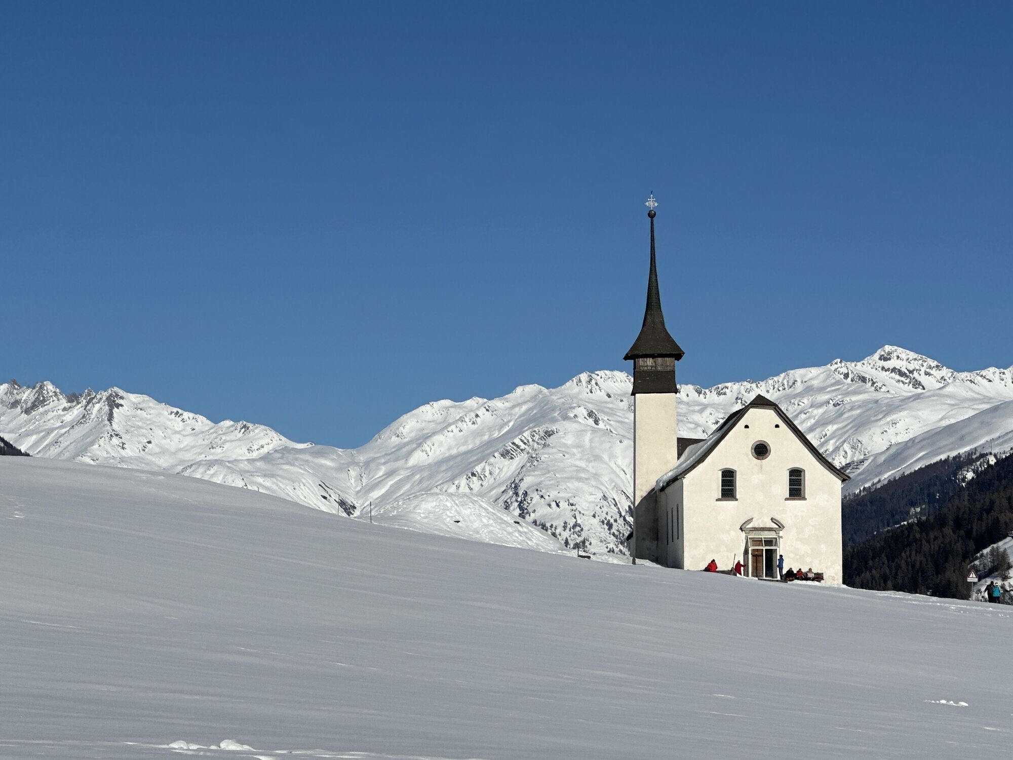
The climb to the Chapel of Saint Anne then begins and you walk towards Niederwald, cross the Rhône again before Blitzingen, and follow the forest path in the Conches valley to Reckingen. Once there, return to your starting point in Biel.
The entire route is perfectly marked in a counterclockwise direction. You'll find Stoneman Hike signs either fixed on local hiking signs or marked on the ground.
Áno
Áno
We recommend:
Good shoes Weather-appropriate clothing: always have a waterproof jacket Hat or cap Sunscreen Water bottle Picnic Camera Hiking poles (optional) Binoculars (optional) Printed version of the itinerary (click "print" to download)For certain walks:
SwimsuitPrepare your hike https://www.valais.ch/fr/activites/randonnee/preparer-sa-randonnee
The mountain is a space of pleasure to share and respect. The mountain offers a space to meet and share unforgettable moments, by bike or on foot. For all outdoor enthusiasts to enjoy it, it is essential to share this space with respect for nature and agriculture. Respectful behavior allows everyone to enjoy their leisure activity in the best conditions. Get informed about the recommendations and rules in place. Assess your physical condition and capabilities well. Use of the different routes is always at your own risk.
For all hikes:
Bring a map. Download the complete itinerary description with a large-scale map by clicking on the "print" icon at the top right of the page. Use only marked paths and observe all signs for your safety, for livestock protection, and to avoid disturbing wild animals. Close gates after you pass through. Be respectful of other users, as well as plants and animals.For mountain hikes:
Pay particular attention to protecting yourself from the sun at altitude. UV rays can be very strong, even on cloudy days. Plan your hike carefully: consider the physical level of each participant, weather forecasts, and the season. Weather conditions can change quickly and unexpectedly in the mountains. It is essential to have suitable clothing, as well as sufficient food and water reserves. In case of uncertain weather, turn back in time.For high mountain hikes:
Inform others about your itinerary. If possible, avoid going alone. Do not venture onto glaciers without a mountain guide. Take note of warning signs about constant danger in riverbeds, along waterways below dams or reservoirs: water levels can rise quickly and unexpectedly.The route crosses main road 19 at the holiday village of Fiesch, the lower station of Fürgangen, as well as in the northeast at Biel.
Brig is the interregional SBB station. Furthermore, the Matterhorn Gotthard Bahn runs in the Rhône valley and is an optimal transport option for runners who wish to stay in one place and therefore need a transfer.
SBB to Brig via Lötschberg (from Bern) or Sion (from Lausanne). Regional train connections towards Conches to your departure point. Remember to reserve a spot for your mountain bike via the SBB mobile app or on sbb.ch.
Follow the parking signs at your departure point.
Learn more:
Stoneman Glaciara Hike https://hike.stoneman-glaciara.com/fr/Learn more about the destinations:
Aletsch Arena https://www.valais.ch/fr/lieux/aletsch-arena Bellwald https://www.valais.ch/fr/lieux/vallee-de-conches/bellwald/apercu Landschaftspark Binntal https://www.valais.ch/fr/lieux/vallee-de-conches/binn/apercu Obergoms https://www.valais.ch/fr/lieux/vallee-de-conches/obergoms/apercuStart and finish the trail wherever you want. Many accommodation options are available in the various destinations.
Webové kamery z prehliadky
-
Bettmerhorn Aletsch Gebiet
-
Bettmerhorn
-
Bergstation Wurzenbord
-
Bellwald Tourismus
-
Eggishorn
-
Blitzingen
-
Eggishorn
-
Eggishorn
-
Eggishorn
-
Eggishorn
-
Eggishorn
-
Bergstation Wurzenbord
-
Fiesch
-
Moosfluh Bergstation
-
Moosfluh Bergstation
-
Golfclub Riederalp
-
Münster Landhaus Goms
-
Reckingen Hotel Glocke
-
Blitzingen Bodmen
-
Blitzingen - Hotel Castle
-
Bellwald Furggulti
-
Bellwald Talstation
-
Bellwald Mittelstation Fleschen
-
Binn Lengtal Schmidigehischre
-
Aletschbord
Získajte prehľad
Vždy naživo na mieste s viac ako 9 500 webovými kamerami. bergfex Ako používateľ Pro si teraz môžete pozrieť príslušné webové kamery pre mnohé zájazdy v aplikácii zájazdy z. Môžete si tak priamo prezerať aktuálne podmienky.
Obľúbené výlety v okolí
-
UNESCO Höhenweg
Turistika 3,70 km -
4,0
Panoramaweg über den Aletschgletscher
strednáTuristika 17,7 km -
5,0
BELALP - SPARRHORN
ťažkéTuristika 11,2 km -
4,8
SUSPENSION BRIDGE RIEDERALP - BELALP
strednáTuristika 11,5 km -
4,0
Eggishorn via ferrata
strednáVia ferrata 1,39 km -
5,0
Aletsch Sightseeing
strednáZimná turistika 15,5 km -
5,0
VIA FERRATA "ALETSCH"
strednáVia ferrata 3,40 km -
4,5
Hike to the Glacier View in Bellwald
strednáTuristika 8,86 km -
5,0
Cycling pleasure on the Rottenweg
svetloCyklistika 25,0 km -
4,0
Höhenwanderung Rosswald
svetloTuristika 6 km
Turistika a stopovanie


Nenechajte si ujsť ponuky a inšpiráciu na ďalšiu dovolenku
Vaša e-mailová adresa bol pridaný do poštového zoznamu.





