


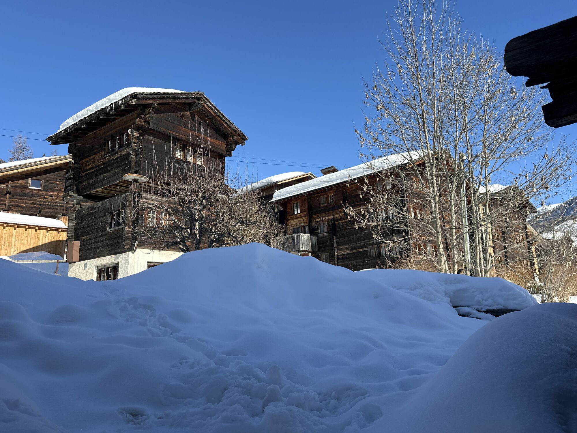
Galmihornhütte hike - «all around beautiful»
Fotografie našich používateľov
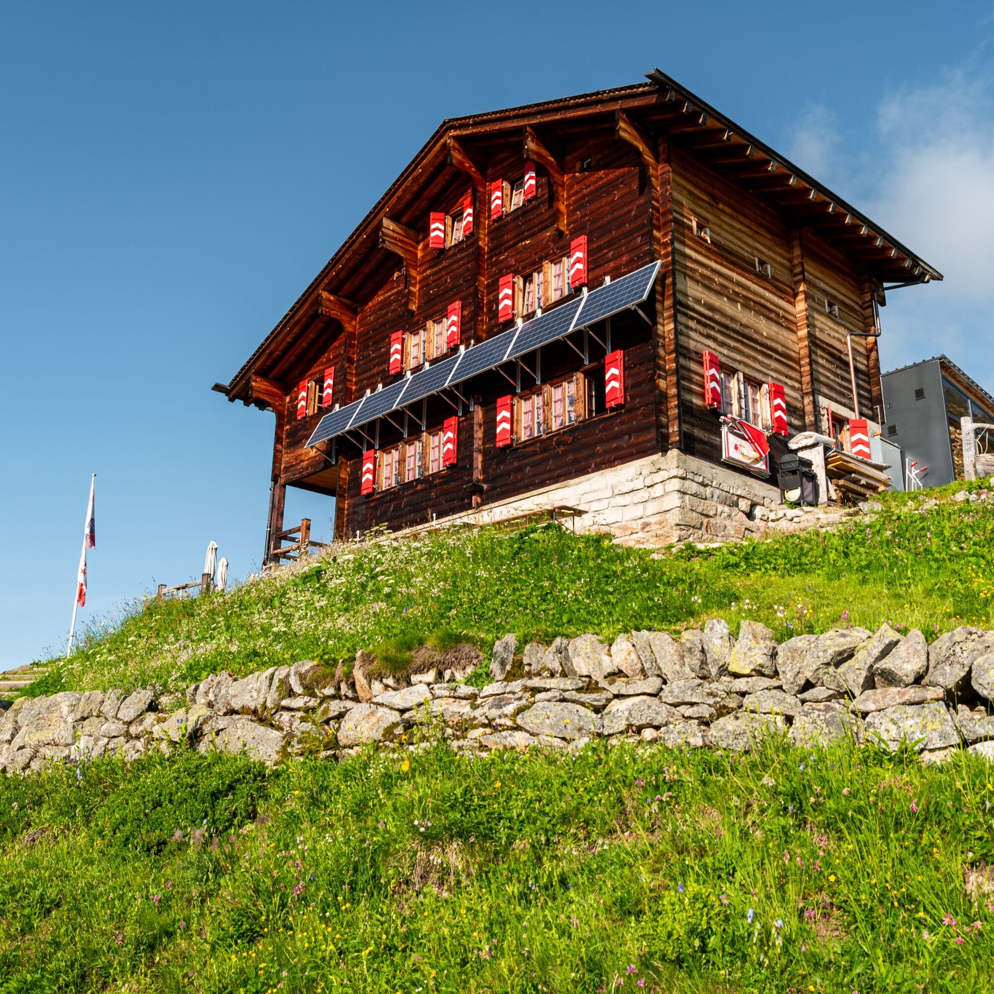
"« At Alpje and Hitte stands us brown larch wood, this is the longest far and wide, yes surely it is such pride »", so it sounds in the song of the Ski-Club Münster sung in the cozy Valais dialect. The...
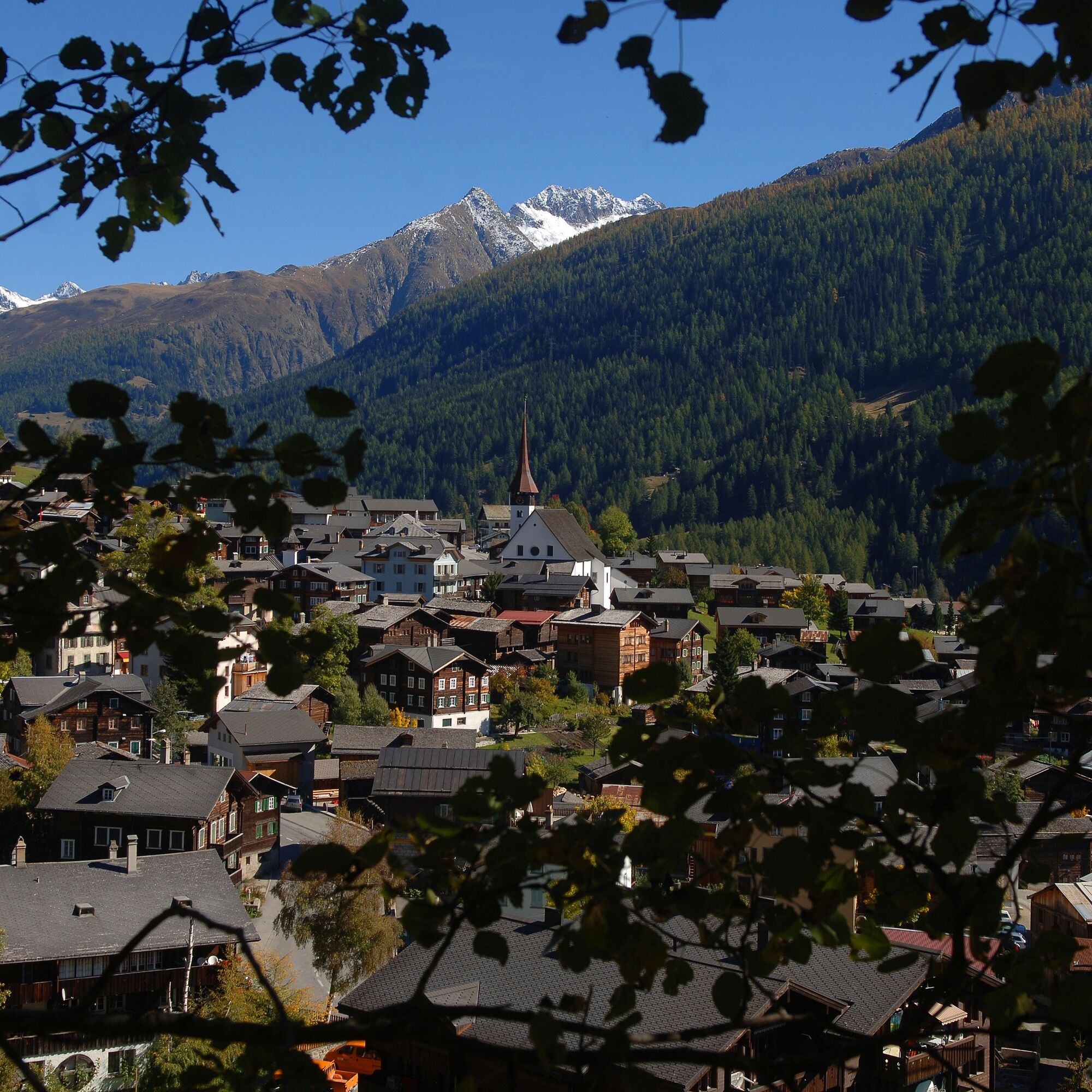
"« At Alpje and Hitte stands us brown larch wood, this is the longest far and wide, yes surely it is such pride »", so it sounds in the song of the Ski-Club Münster sung in the cozy Valais dialect. The Galmihornhütte is inevitably and majestically located on the route of the wonderful mountain route on the program today.
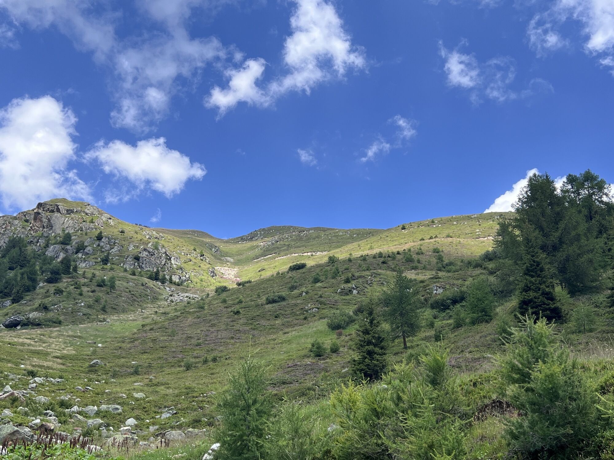
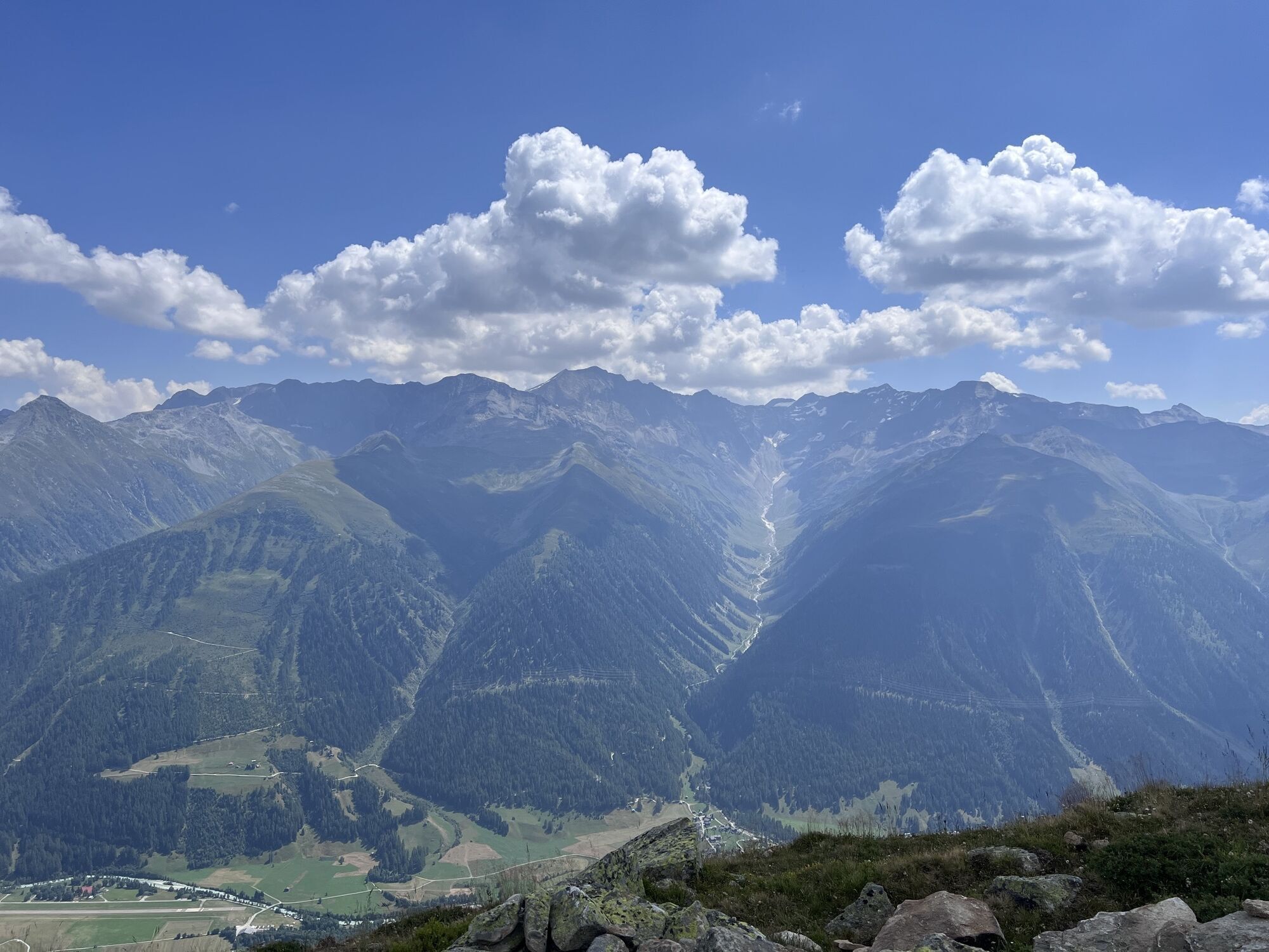
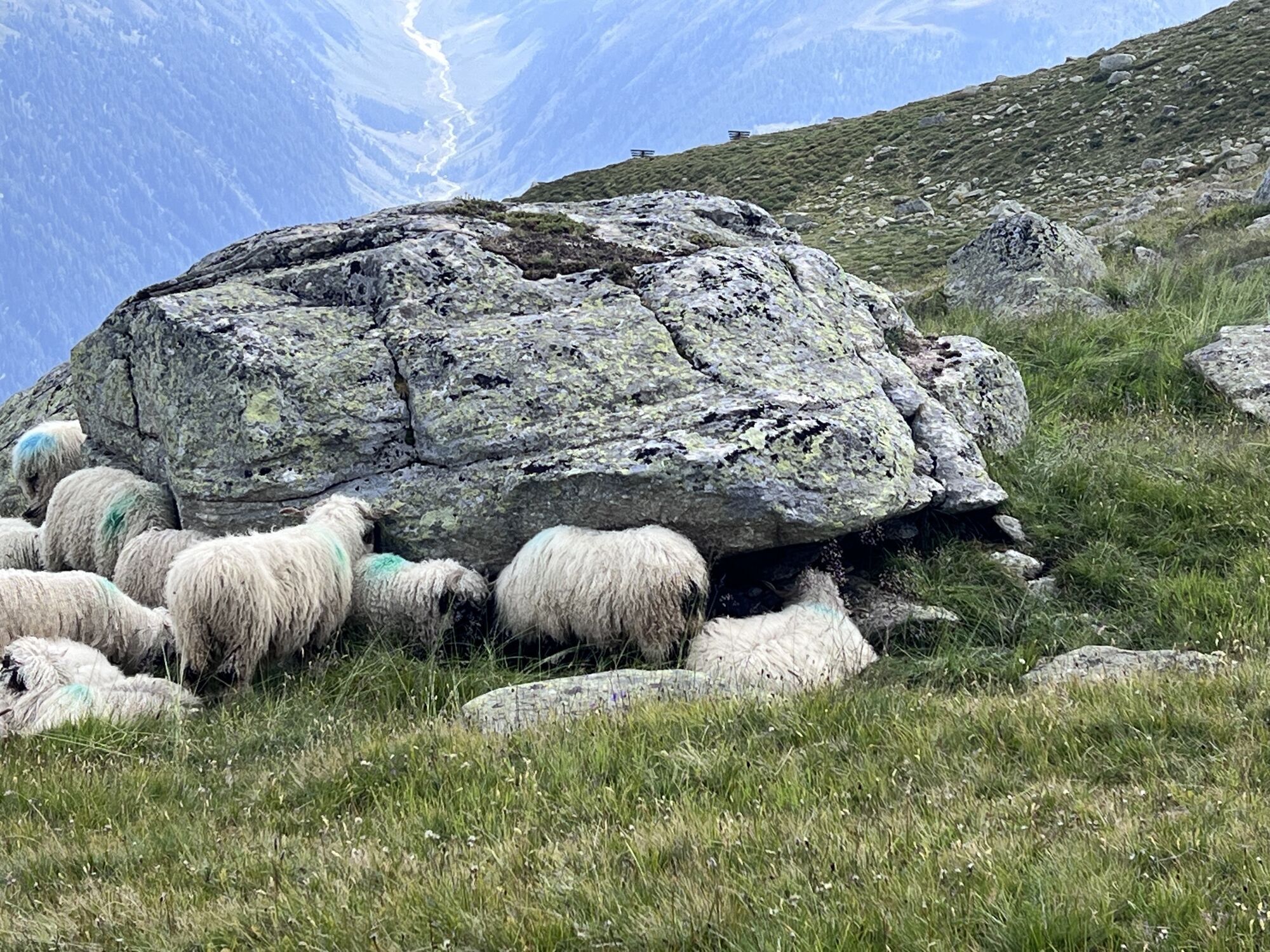
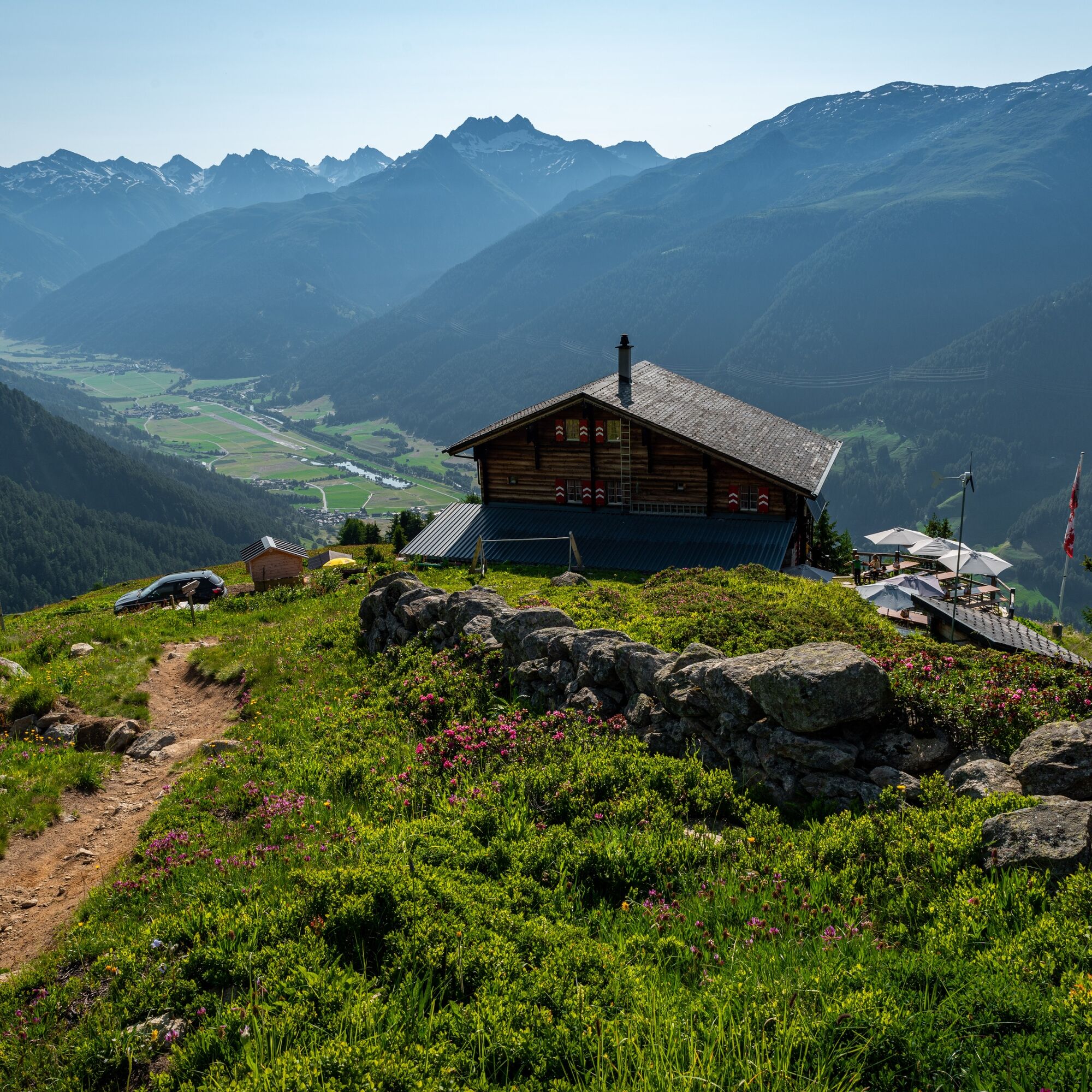
The first height meters are gained in the protective mountain forest on the steadily ascending forest road. Above the tree line, the hearts of nature lovers open for species-rich alpine flora and the wide view of the unique alpine range. The hospitality of the Galmihornhütte invites you to a refreshing stop, but the highest point of the hike is only reached at the Treichbode cross.
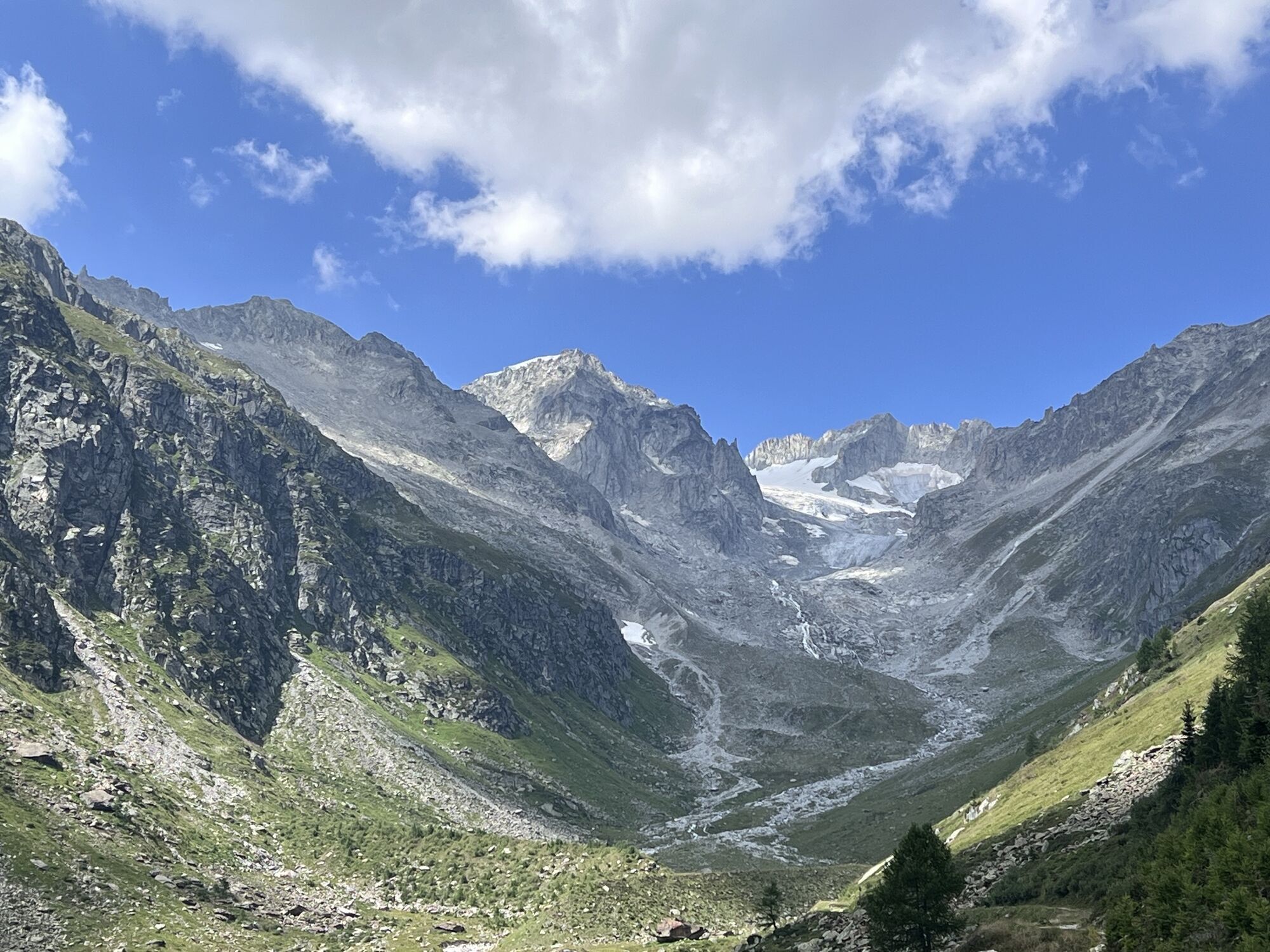
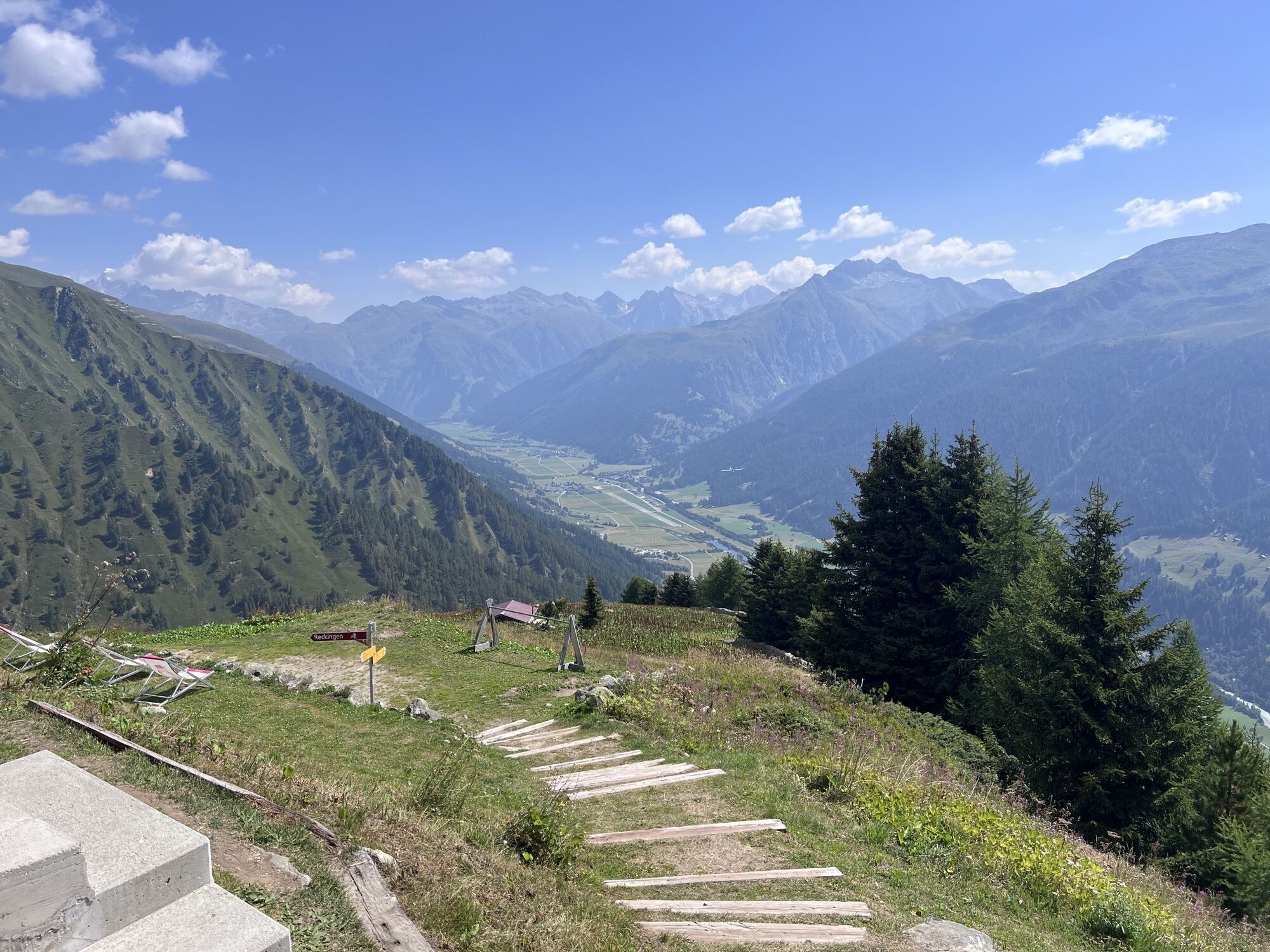
Then begins the descent into the wildly romantic Bächital, whose distant peaks (front and rear Galmihorn) form the namesake summits. The hiking trail to Chäller and further to Guferschmatte occasionally crosses the narrow alpine road. From here it goes comfortably on the forest road to Jungholz. The last stretch to the picturesque mountain village Reckingen leads over an idyllic pasture.

Münster, train station - Halte - Gifi - Bawald - Judestafel - Salzgäbi - Galmihornhütte - Unnere Treichbode - Treichbode Kreuz - Bächigalen - Chäller - Guferschmatte - Brand - Tschugge - Jungholz - Stöibi - Reckingen, train station
We recommend:
Good footwear and hiking poles Sun and rain protection as well as warm clothing Detailed map or information material with good route preparation Provision for your day in the open nature First aid kit and mobile phone for emergenciesUse of the hiking trails is at your own risk. The Obergoms Tourismus AG rejects any liability and assumes no responsibility for the accuracy and completeness of the information on this website.
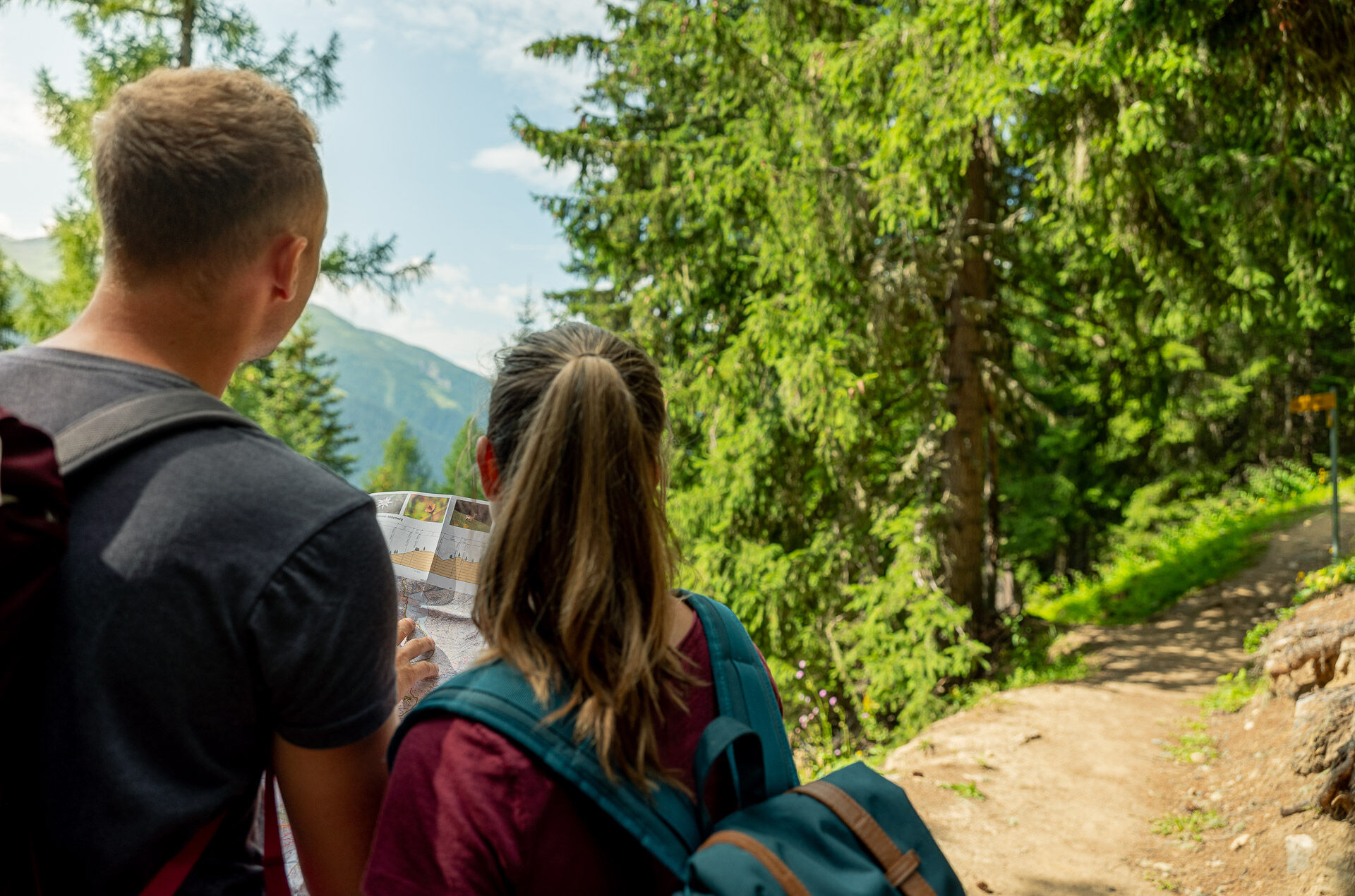
Carry a hiking map with you or download the complete description of the trail with a large-scale map. Use only signposted paths and observe all markings and signs - for your own safety, for the protection of the landscape, and out of respect for wildlife. Behave considerately towards other trail users. Take your waste and the waste of others with you.
The weather conditions in the mountains can change very quickly and without warning. Appropriate clothing and enough provisions (food and drinks) are very important. In unsettled weather conditions it is better to turn back early.
Carry additional sun protection. UV rays can be very strong at high altitudes, even in cloudy skies.
Plan your route carefully and thoroughly. Inform yourself in advance about the current conditions and weather. The summer report provides valuable information from the region.
From Brig follow the cantonal road No. 19 (Furka road) for 33 km to Münster.
Goms is also well connected from the Zurich / Lucerne region via Andermatt - Car shuttle Furka.
With the regional trains of the Matterhorn Gotthard Bahn you can reach Münster from Brig in 1h 09 min. Goms is also well accessible from the Zurich / Lucerne region via Andermatt - Furka Base Tunnel.
Timetables for trains and buses can be found at www.sbb.ch.
Public parking spaces are available in the vicinity of the train station or in the village of Münster. Please follow the local parking guidance system for this.
Treat yourself to a hearty stop at the refreshment hut Guferschmatte.
Webové kamery z prehliadky

Obľúbené výlety v okolí
-
5,0
Circular hike from Grimsel Pass - Sidelhorn via Jostsee
strednáTuristika 8,47 km -
UNESCO Höhenweg
Turistika 3,70 km -
4,0
Panoramaweg über den Aletschgletscher
strednáTuristika 17,7 km -
5,0
9 lake-trail
ťažkéTuristika 17,3 km -
4,0
Eggishorn via ferrata
strednáVia ferrata 1,39 km -
4,5
Hike to the Glacier View in Bellwald
strednáTuristika 8,86 km -
5,0
Aletsch Sightseeing
strednáZimná turistika 15,5 km -
Cultural route in Münster
svetloTematická trasa 0,54 km -
Binntal, Twingischlucht- Binn nach Ernen
strednáTuristika 10,6 km -
4,5
Galmihorn Bike
strednáMountainbike 23,7 km

Turistika a stopovanie


Nenechajte si ujsť ponuky a inšpiráciu na ďalšiu dovolenku
Vaša e-mailová adresa bol pridaný do poštového zoznamu.