


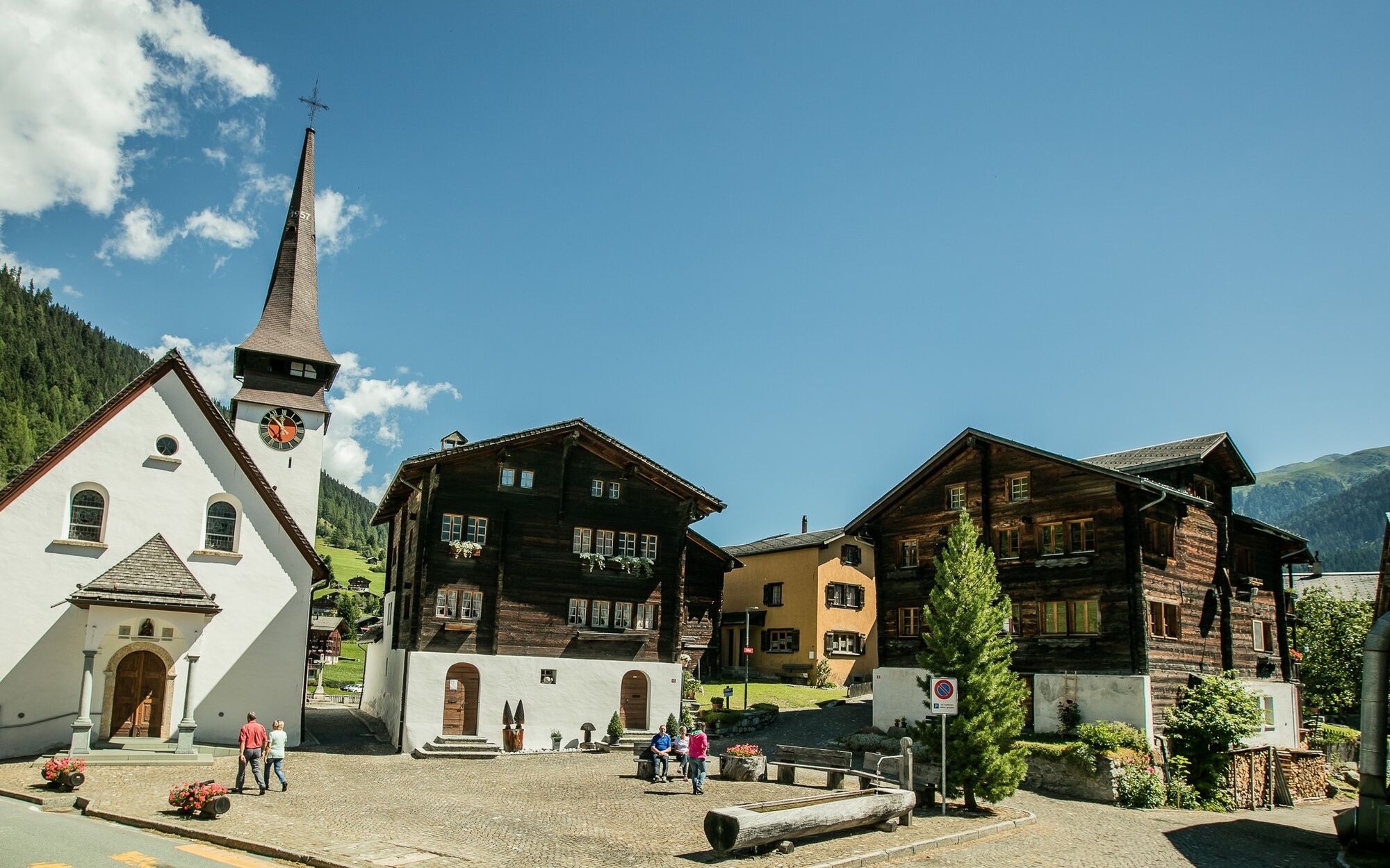
To the small romantically wild Brusee
The small Brusee is nestled secluded in the romantically wild mountain landscape of Obergoms. Treat yourself to an extensive rest at the cool Brusee after the altitude-rich ascent from Biel before continuing...
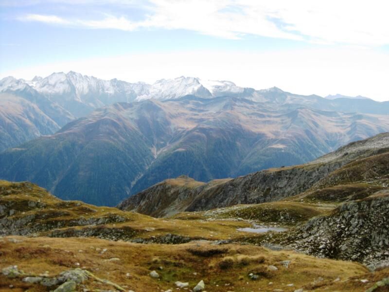
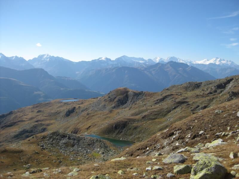
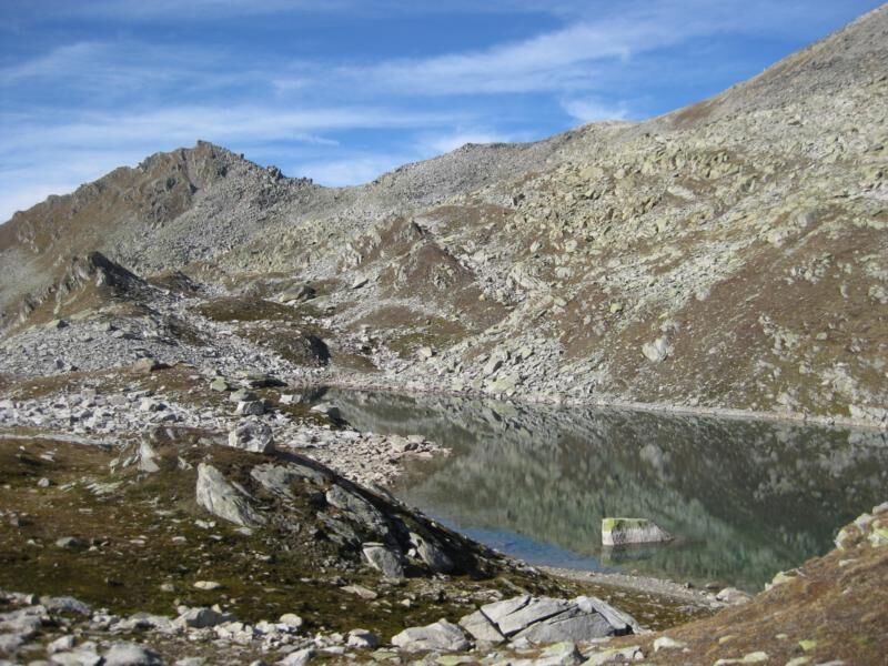
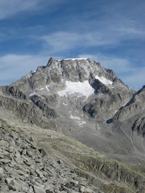
The small Brusee is nestled secluded in the romantically wild mountain landscape of Obergoms. Treat yourself to an extensive rest at the cool Brusee after the altitude-rich ascent from Biel before continuing on your way. Past the rocky Honeggerhorn you reach the Mittelsee and further downstream the beautiful Spilsee. Via the popular panoramic trail you finally reach the Flesche / Bellwald mountain station.

Biel - Brusee - Bellwald
We recommend:
Good footwear and hiking poles Sun and rain protection as well as warm clothing Detailed map or info material with good route preparation Provisions for your day in the great outdoors First aid kit and mobile phone for emergenciesUse of the hiking trails is at your own risk. Obergoms Tourism AG assumes no liability and accepts no responsibility for the accuracy and completeness of the information on this website.
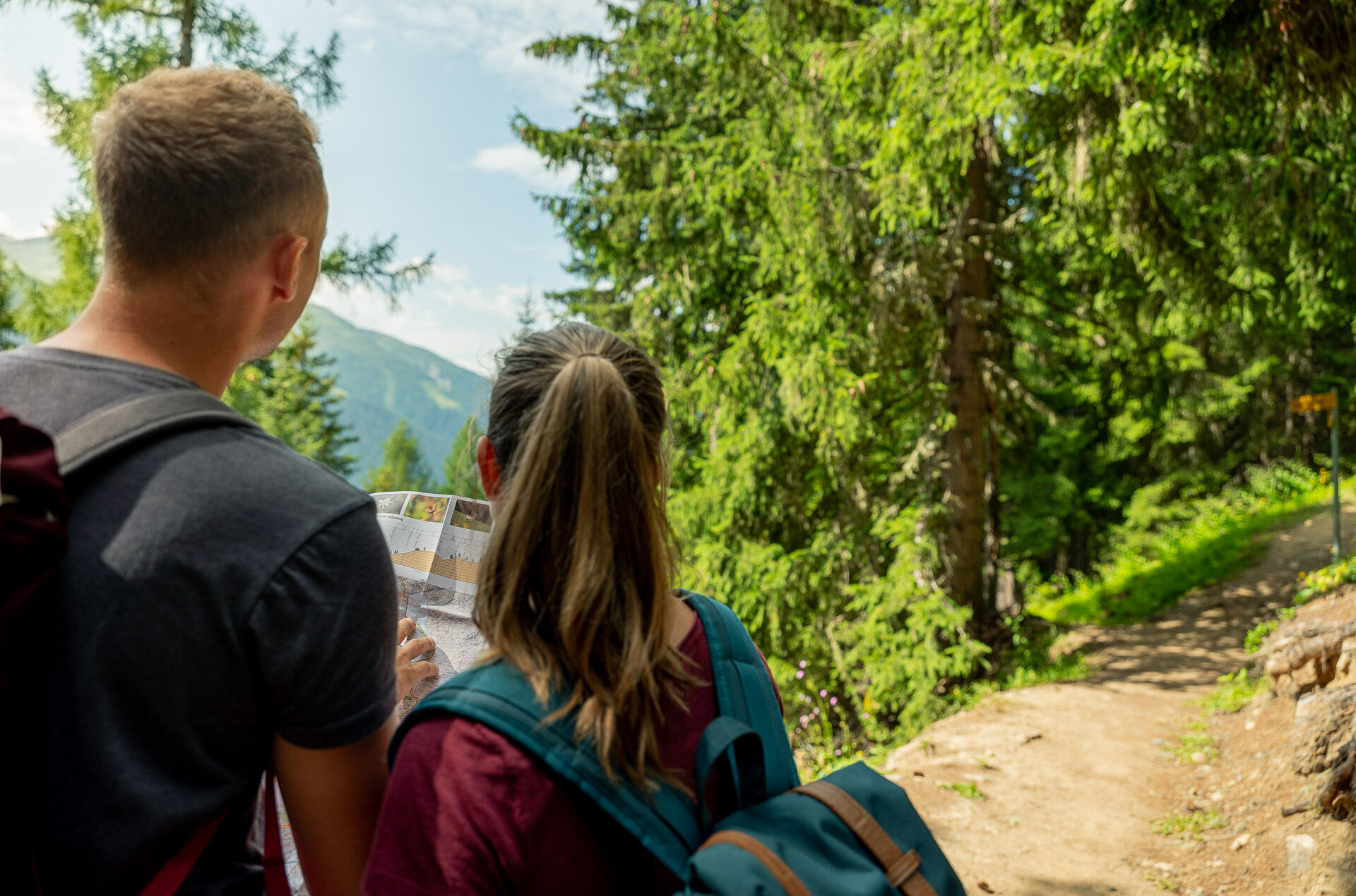
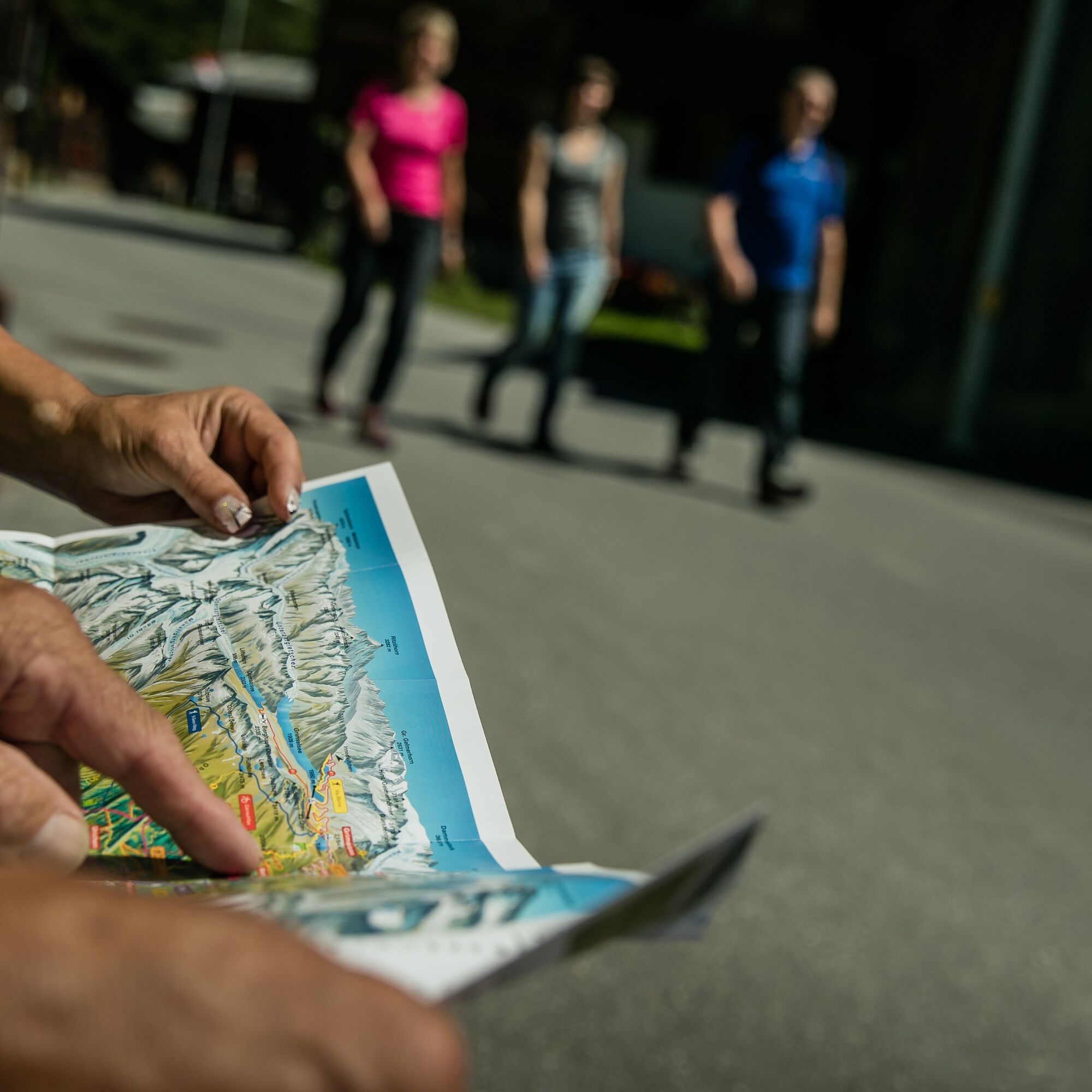
Carry a hiking map with you or download the complete description of the hiking trail with a large-scale map. Use exclusively signposted paths and observe all markings and signs - for your own safety, to protect the landscape and out of respect for wildlife. Behave considerately towards other trail users. Take your waste and others' waste with you.
Weather conditions in the mountains can change very quickly and without warning. Appropriate clothing and sufficient provisions (food and drink) are very important. In unstable weather, it is better to turn back early.
Carry additional sun protection. UV radiation at high altitudes can be very strong, even with overcast skies.
Plan your route carefully and thoroughly. Inform yourself in advance about the current conditions and weather. The summer report https://www.goms.ch/sommersportbericht provides you with valuable information from the region.
From Brig, follow the cantonal road no. 19 (Furka road) for about 26 km to Biel.
The Goms is also well connected from the Zurich / Lucerne region via Andermatt - Furka car shuttle www.matterhorngotthardbahn.ch.
With the regional trains of the Matterhorn Gotthard Railway, you can reach Biel from Brig in 58 min. The Goms is also easily accessible from the Zurich / Lucerne region via Andermatt - Furka Base Tunnel.
Timetables for trains and buses can be found at www.sbb.ch.
The Gommer Pass of the Matterhorn Gotthard Railway entitles the holder to free travel in 2nd class on the Oberwald - Fiesch Feriendorf route
Obľúbené výlety v okolí
-
5,0
Circular hike from Grimsel Pass - Sidelhorn via Jostsee
strednáTuristika 8,47 km -
UNESCO Höhenweg
Turistika 3,70 km -
4,0
Panoramaweg über den Aletschgletscher
strednáTuristika 17,7 km -
5,0
9 lake-trail
ťažkéTuristika 17,3 km -
4,0
Eggishorn via ferrata
strednáVia ferrata 1,39 km -
5,0
Aletsch Sightseeing
strednáZimná turistika 15,5 km -
4,5
Hike to the Glacier View in Bellwald
strednáTuristika 8,86 km -
5,0
Cycling pleasure on the Rottenweg
svetloCyklistika 25,0 km -
4,0
Galmihornhütte hike - «all around beautiful»
strednáTuristika 14,2 km -
Villa Cassel - Hohfluh - Blausee - Moosfluh - Moränenweg - Villa Cassel
strednáTuristika 8,49 km

Turistika a stopovanie


Nenechajte si ujsť ponuky a inšpiráciu na ďalšiu dovolenku
Vaša e-mailová adresa bol pridaný do poštového zoznamu.