







Blatten - Hegdorn - Stahlgasse- Naters
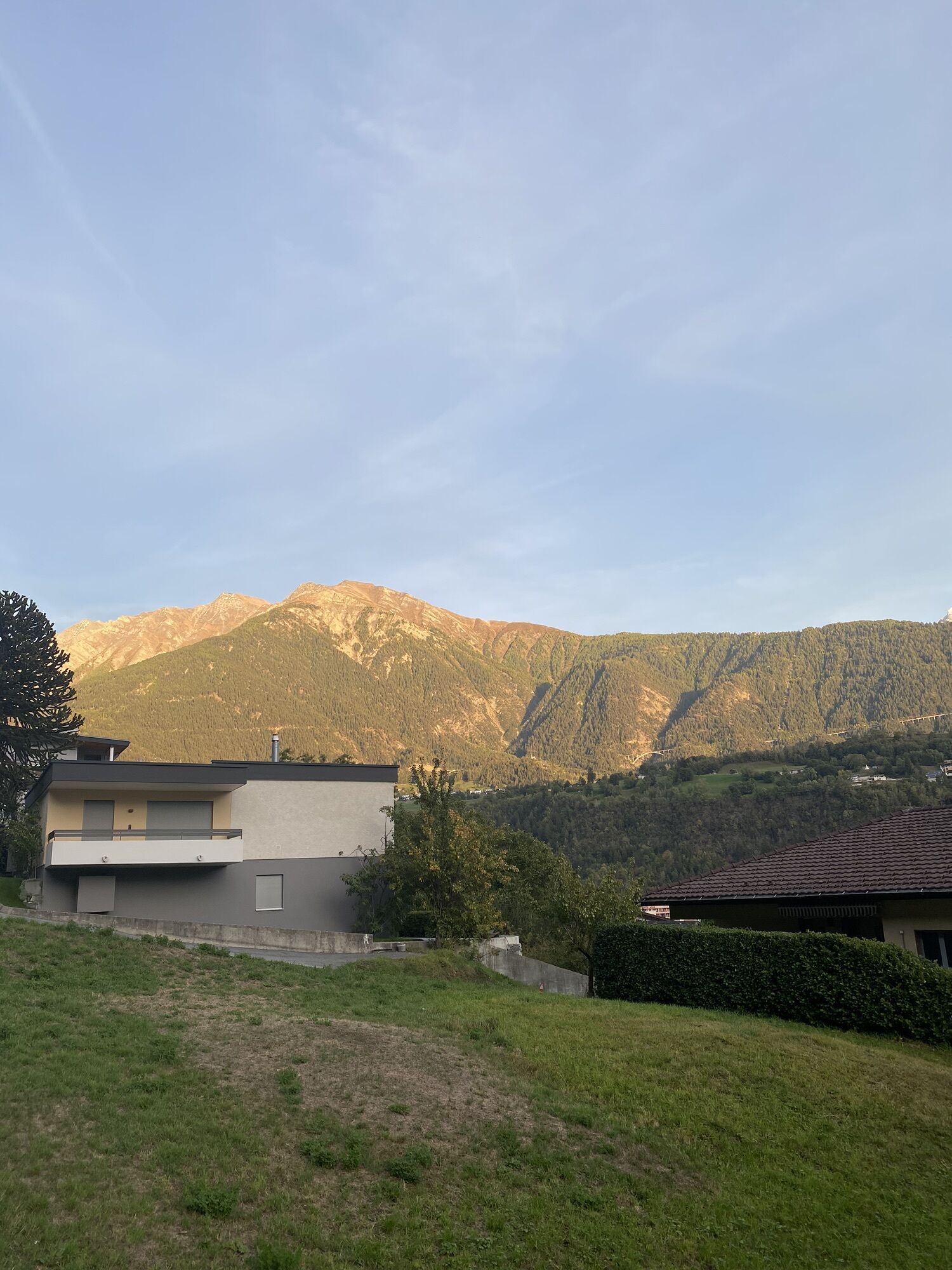
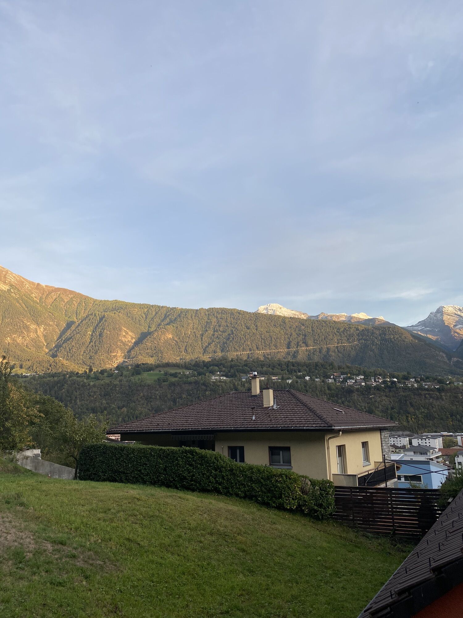
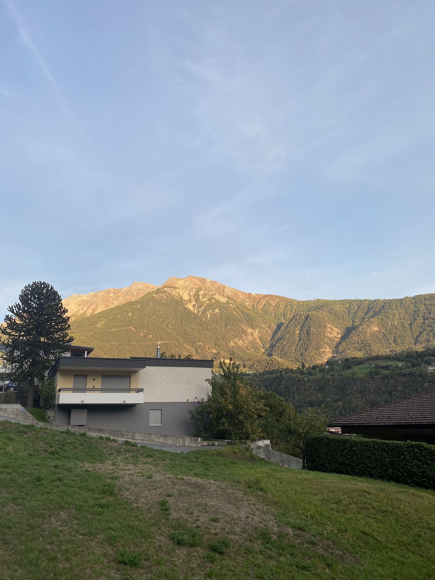
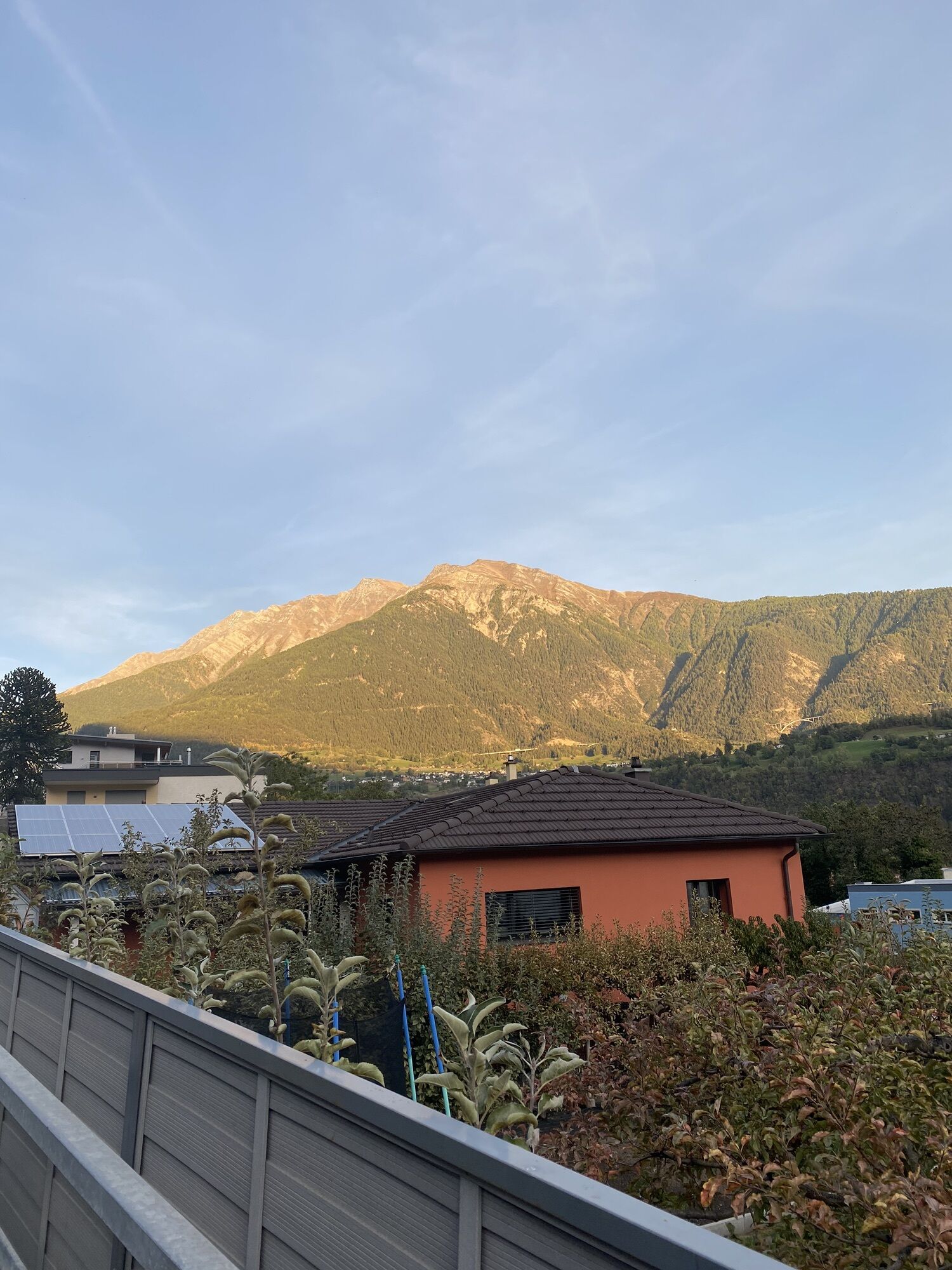
This hike between Blatten bei Naters and Naters follows historic trail connections, recognizable primarily due to their structural features.
The hiking trail is embedded in the cultural landscape of the...
This hike between Blatten bei Naters and Naters follows historic trail connections, recognizable primarily due to their structural features.
The hiking trail is embedded in the cultural landscape of the Natischerberg and is characterized by dry stone walls, free-standing path borders, boundary stones, and stone paving. It also repeatedly passes old settlements that invite you to admire and linger.
If you prefer hiking uphill, you can also do the hike in the reverse direction from Naters to Blatten.

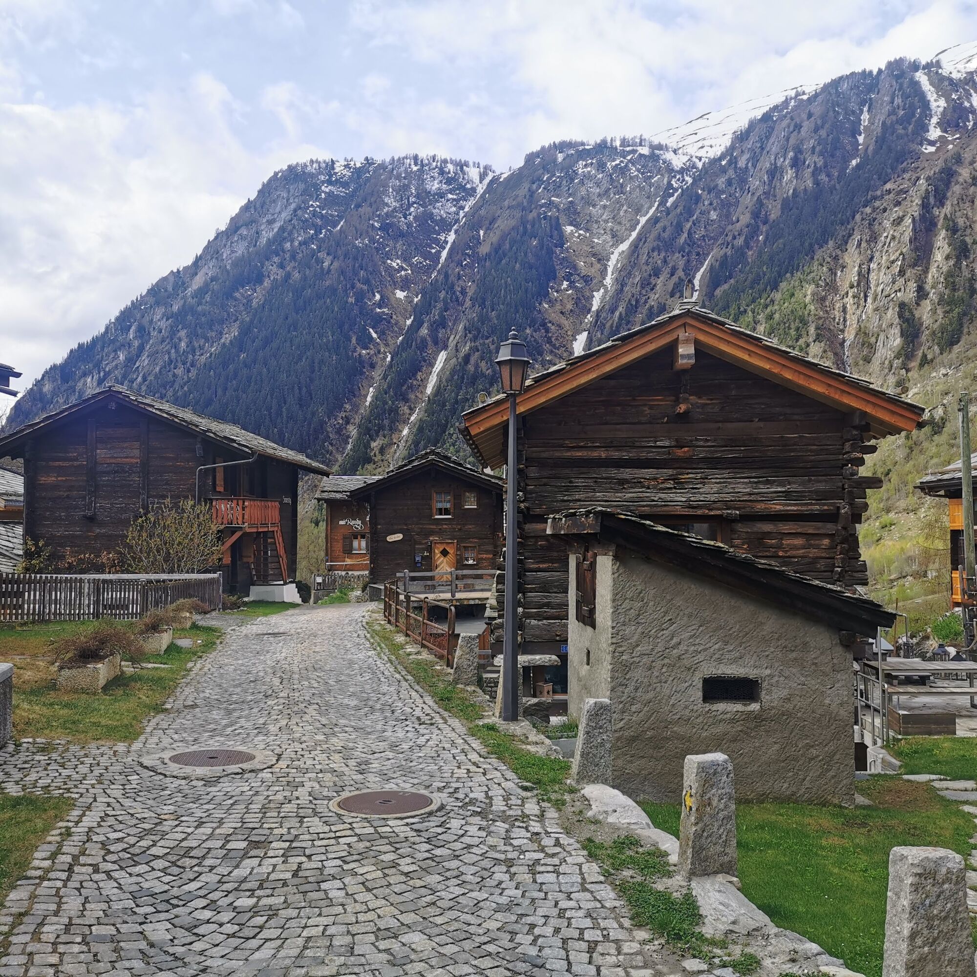
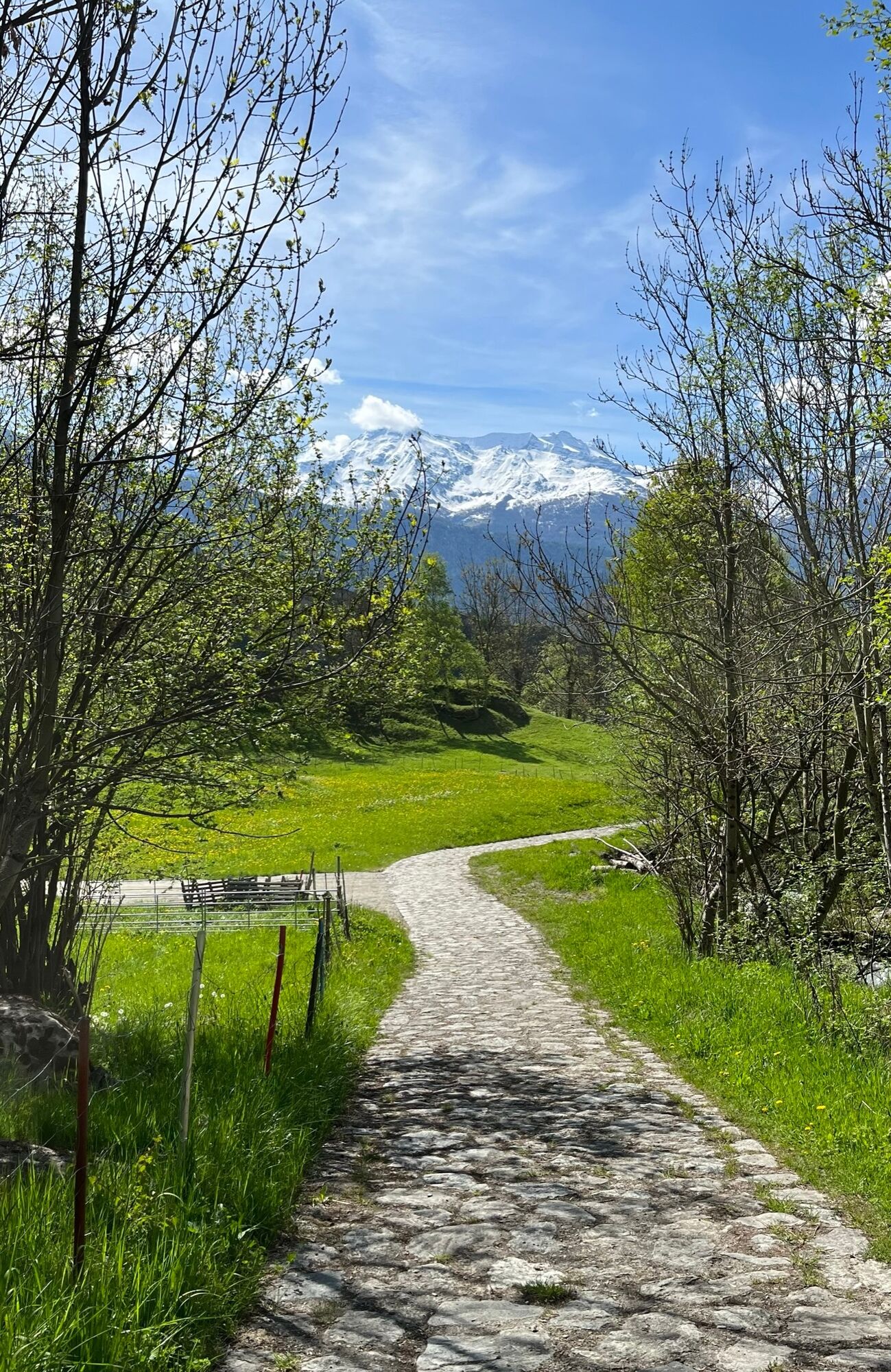
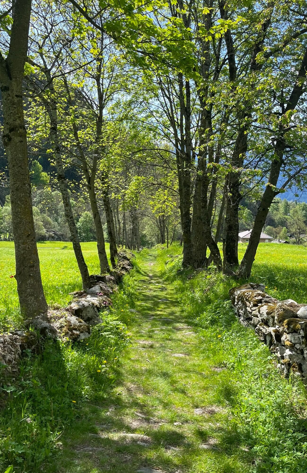
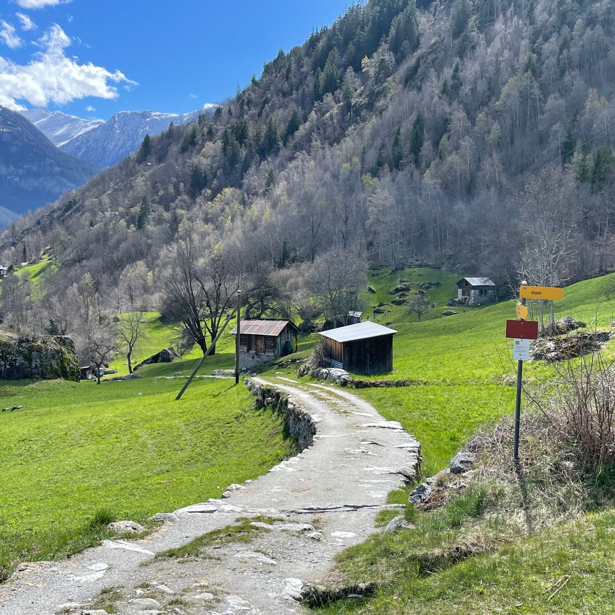
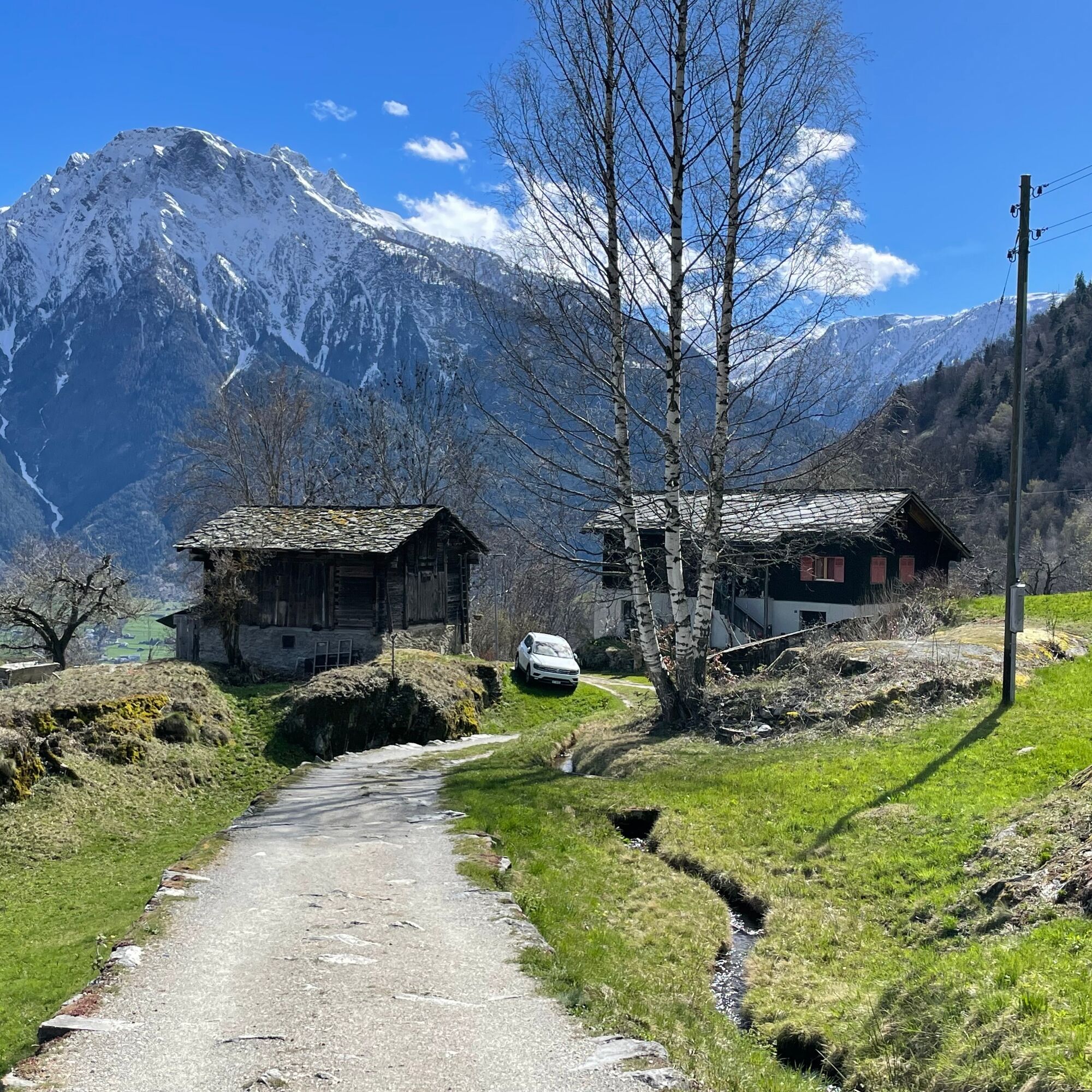
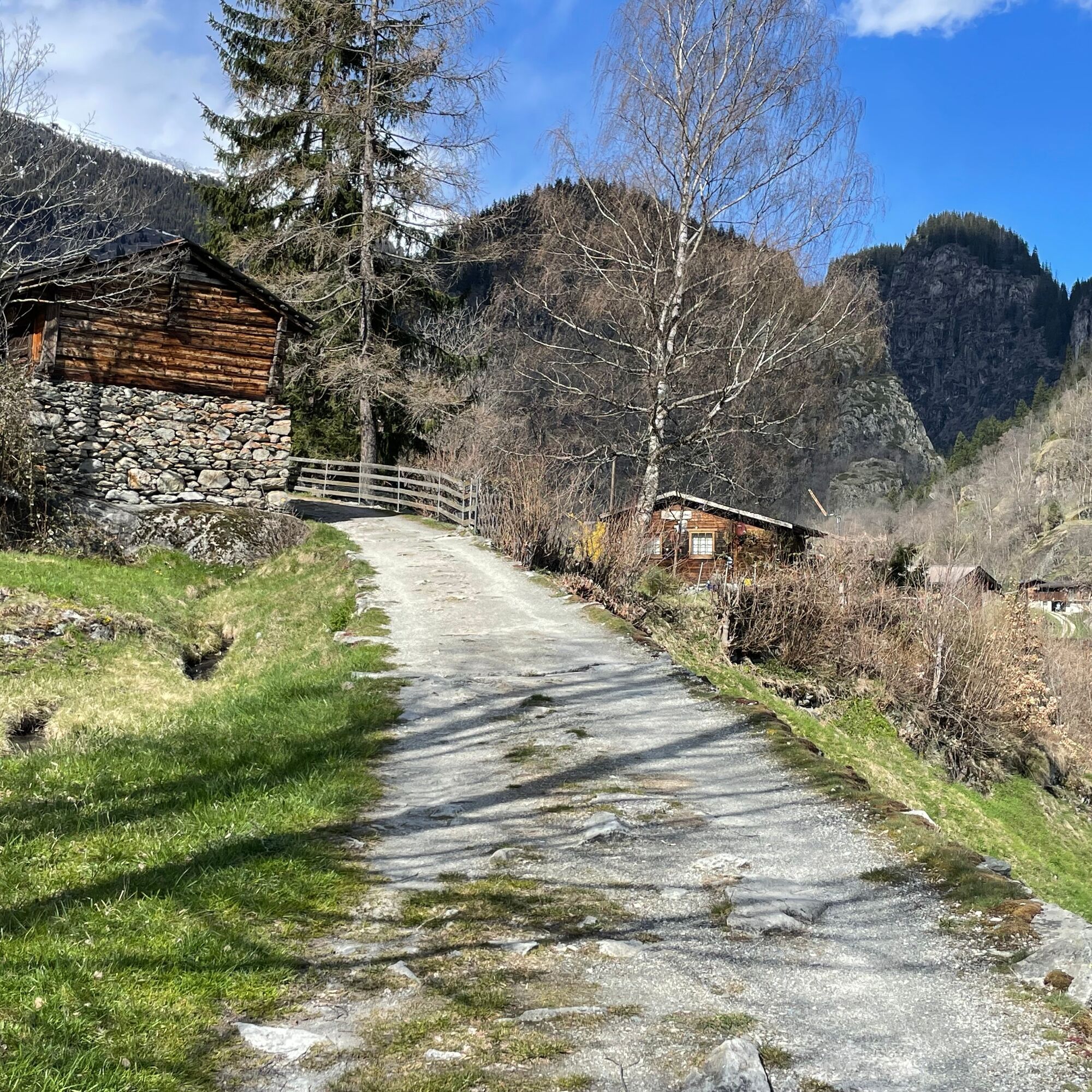
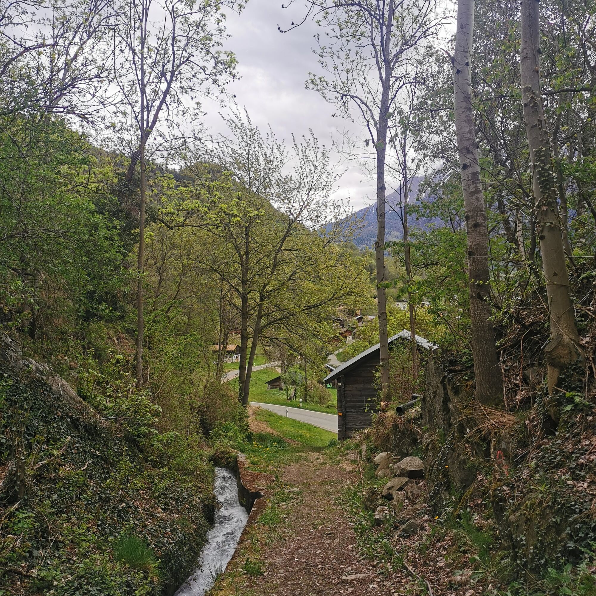
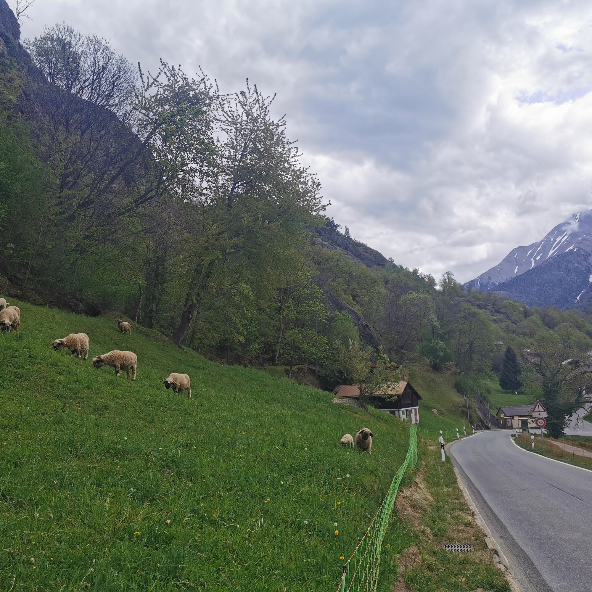
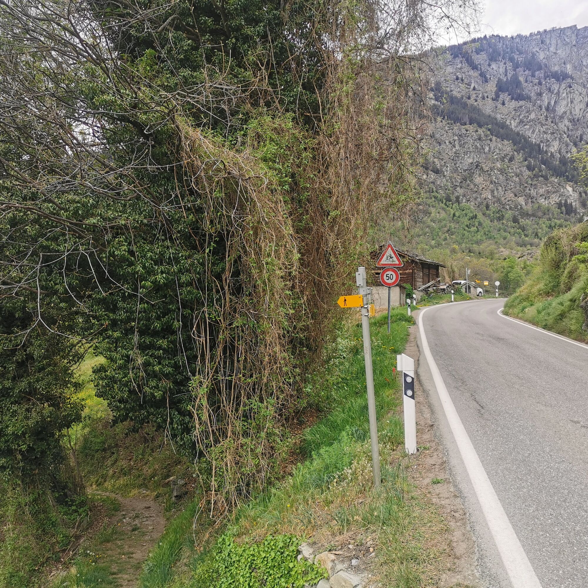
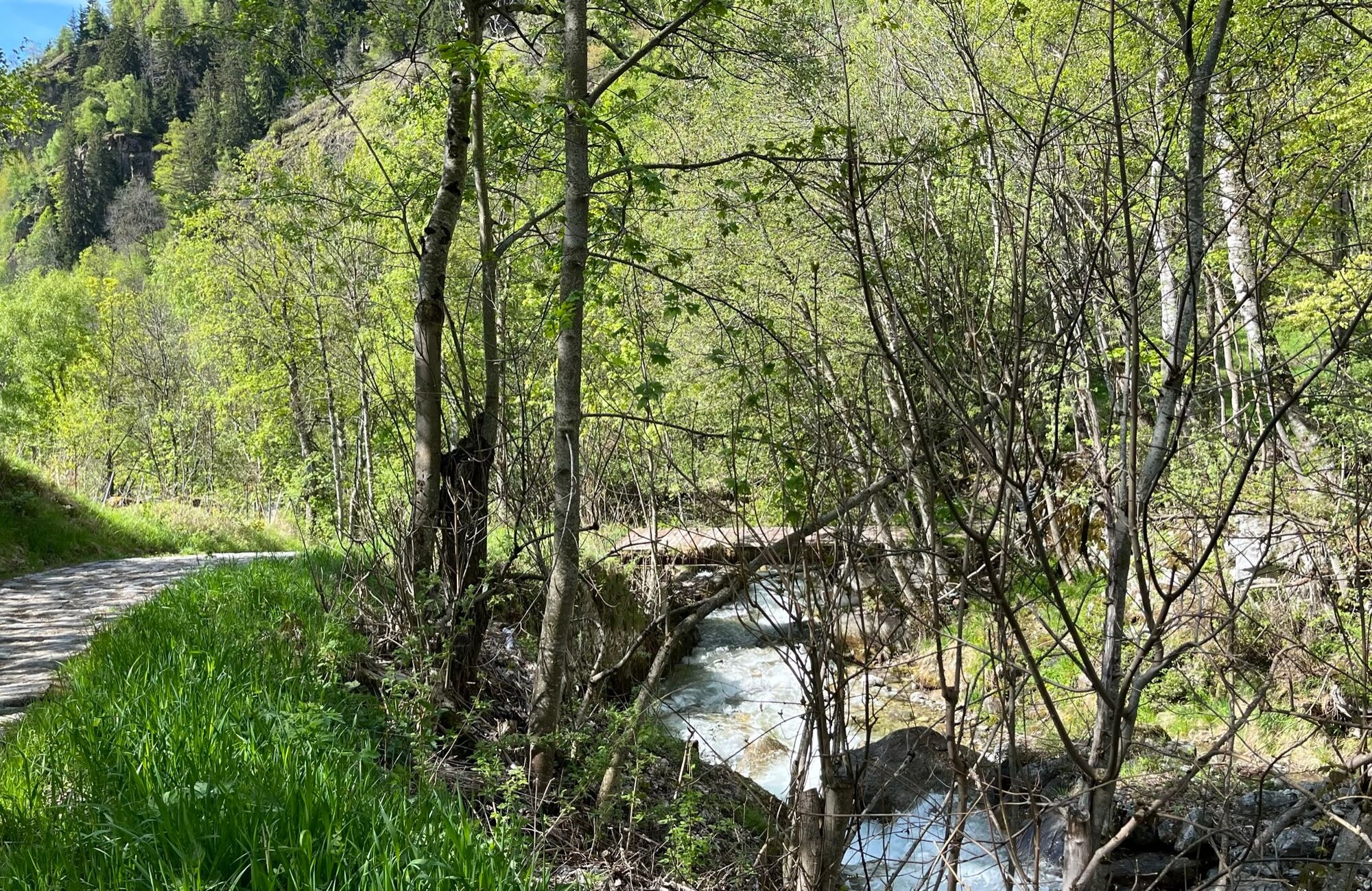
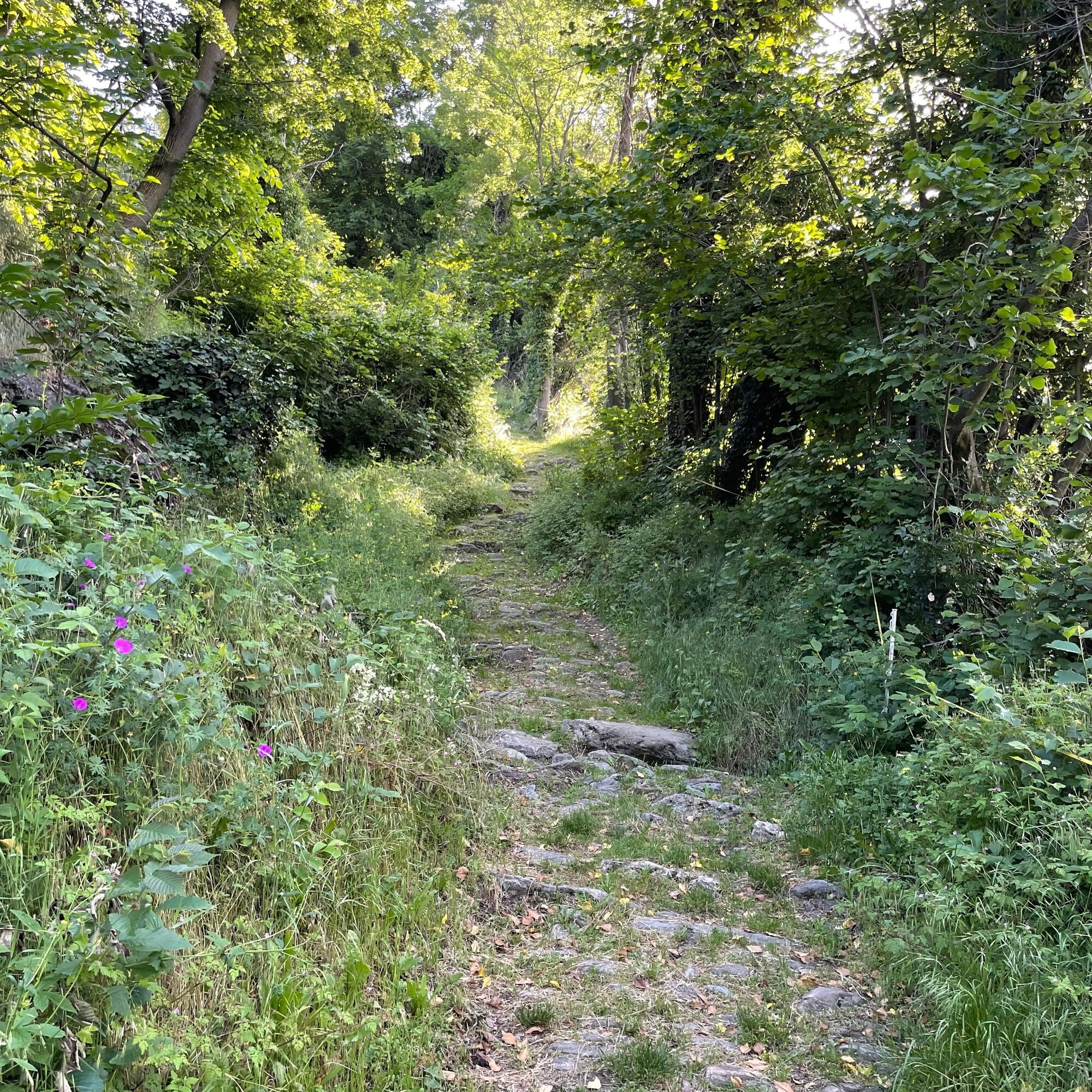
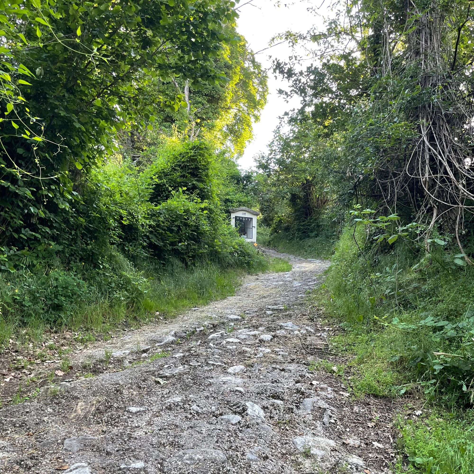
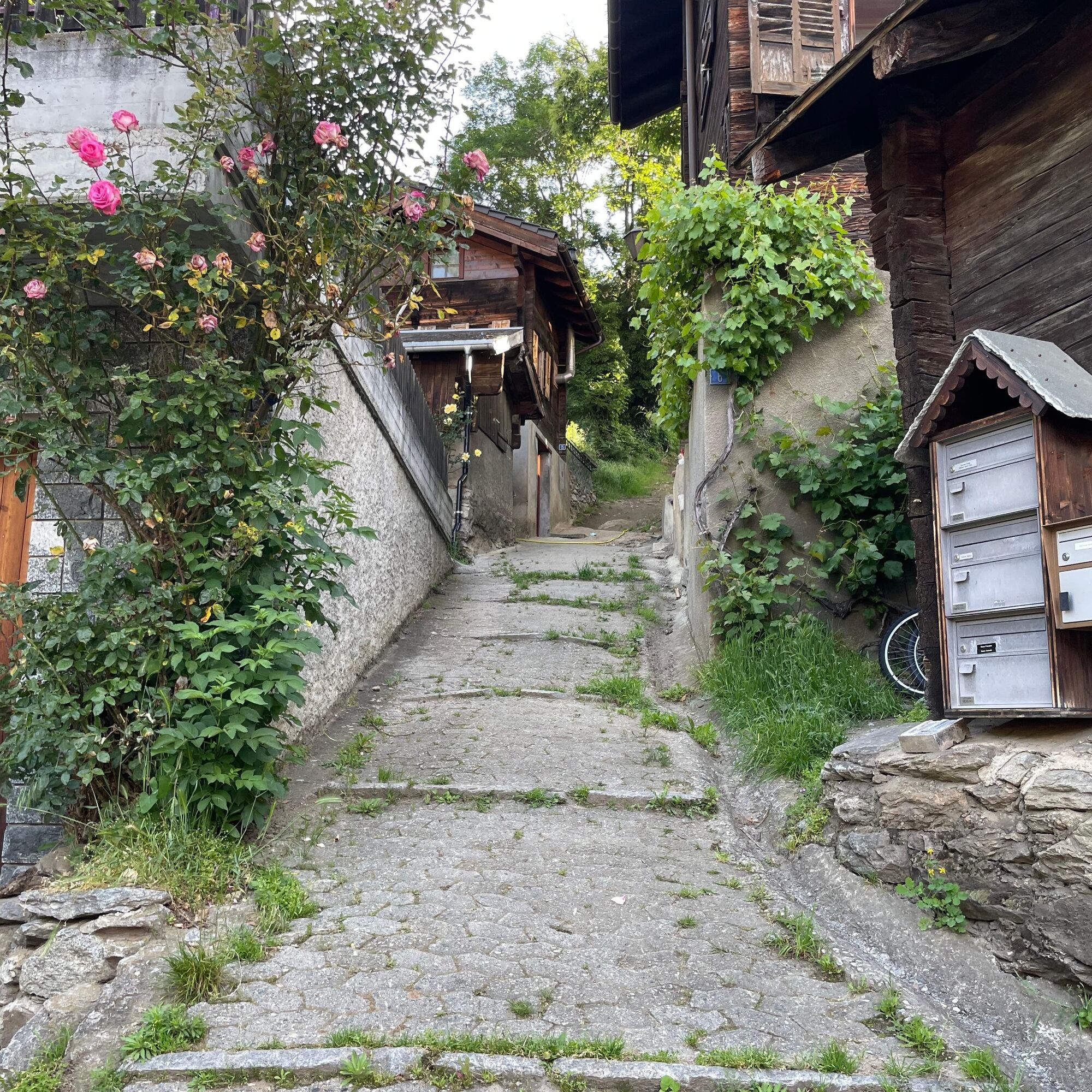
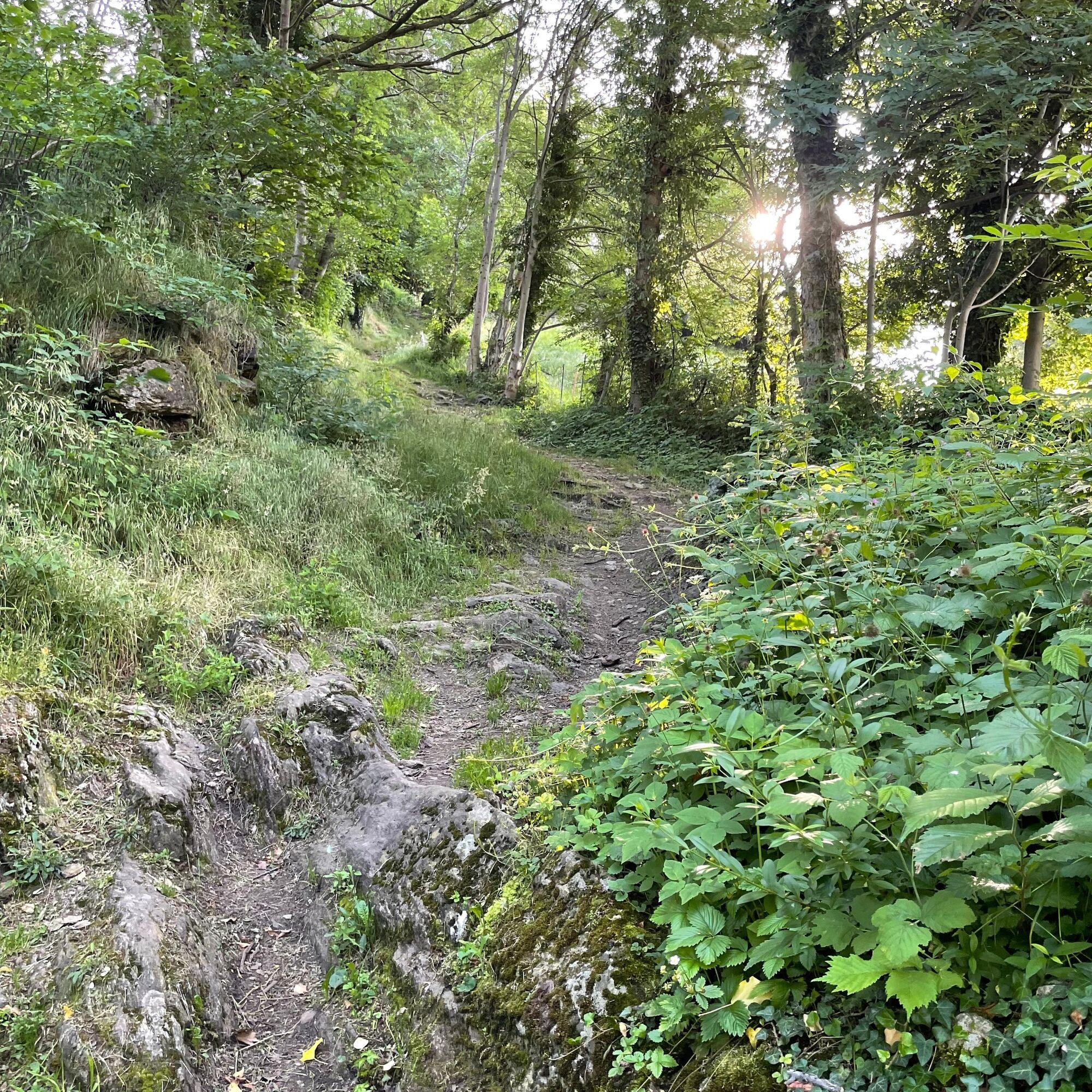

From the stop Blatten b. Naters cable car, the path leads to the old village and along the historic route to Mehlbaum and Geimen. It then continues towards Moos. On the way, between Moos and Obermoos, a mule drinking trough carved in stone is visible on the left side. In Moos, follow the road to the main street and cross it. The route then leads into Hegdorn and via Bellavista and Stahlgasse down to Naters.
Blatten bei Naters - Mehlbaum - Geimen - Moos - Hegdorn - Bellavista - Naters
Sturdy footwear, weather-appropriate clothing, sun and rain protection, as well as sufficient supplies of food and drinks are recommended as there may be no opportunities for breaks or purchases. Although the path is very well marked throughout, for safety reasons you should always have a suitable hiking map with you. Bring sticks or other aids.
Despite the “unmistakable” marking of the hiking trails, for safety reasons we recommend always carrying a suitable hiking map so that, for example, in the event of a thunderstorm or emergency you can quickly find a safe area.
Particularly in autumn, be aware that leaves on the ground may hide unevenness, roots, stones, or holes in the path. After storms, trees may still fall or branches may drop. Especially in adverse weather conditions, natural paths may have muddy and slippery sections. Expect such path impairments when hiking.
Not all rocks or drops are secured with ropes or railings. Some areas require surefootedness. If you feel certain sections are not passable for you, you should bypass them.
Arrival by car
From western Switzerland: A9 Lausanne - Vevey, or northwest Switzerland: A12 Bern - Vevey: A9 - Sierre: main road Sierre - Brig
From northwest Switzerland: A6 Bern - Thun - Spiez: main road Spiez - Kandersteg (car shuttle Lötschberg tunnel) - Goppenstein - Gampel - Brig
From eastern and central Switzerland: Andermatt - Realp (year-round car shuttle Furka; in summer via Furka Pass) - Oberwald - Brig
From Ticino (in summer): Airolo - Nufenen Pass - Ulrichen – Brig
Or via Centovalli – Domodossola – Simplon Pass – Brig
From Italy (Aosta, Mt. Blanc Tunnel): Aosta - Grand Saint Bernard Tunnel (in summer over the pass) - Martigny: Autobahn A9 - Sierre: main road Sierre – Brig
Or via Domodossola – Simplon Pass – Brig
Blatten bei Naters
From Brig you reach Blatten bei Naters via Naters, then take the cable car to the car-free Belalp.
Blatten bei Naters can be reached from Brig or Naters by public transport.
Timetable at: www.sbb.ch
Paid parking spaces are available at Chienzlichrommu and in the parking garage in Blatten bei Naters.
More information can be found at:
www.belalp.ch
If you have questions, please contact:
Belalp Bahnen AG
+41 (0)27 921 65 10
Blatten - Belalp Tourismus AG
+41 (0)27 921 60 40
On the hike, visit the chapels in Blatten, Geimen, and Hegdorn as well as the parish church in Naters.
Získajte prehľad
Vždy naživo na mieste s viac ako 9 500 webovými kamerami. bergfex Ako používateľ Pro si teraz môžete pozrieť príslušné webové kamery pre mnohé zájazdy v aplikácii zájazdy z. Môžete si tak priamo prezerať aktuálne podmienky.
Aktivity počas prehliadky

Obľúbené výlety v okolí
-
5,0
Moosalp Panoramaweg
svetloTuristika 6,36 km -
5,0
BELALP - SPARRHORN
ťažkéTuristika 11,2 km -
4,8
SUSPENSION BRIDGE RIEDERALP - BELALP
strednáTuristika 11,5 km -
UNESCO Höhenweg
Turistika 3,70 km -
5,0
Rundwanderung Anenhütte
strednáTuristika 10,2 km -
4,0
Panoramaweg über den Aletschgletscher
strednáTuristika 17,7 km -
CIRCULAR HIKE MASSEGGA SUSPENSION BRIDGE
svetloTuristika 6,44 km -
4,0
Eggishorn via ferrata
strednáVia ferrata 1,39 km -
4,0
Höhenwanderung Rosswald
svetloTuristika 6 km -
5,0
Aletsch Sightseeing
strednáZimná turistika 15,5 km
Turistika a stopovanie


Nenechajte si ujsť ponuky a inšpiráciu na ďalšiu dovolenku
Vaša e-mailová adresa bol pridaný do poštového zoznamu.





