







The Dahu Tour

Úroveň náročnosti: 1
After a climb on the Brune, through the forest and with a magnificent view over the valley floor behind Crêta Besse and the Arbaz basin, you will reach the alpine pastures and the ski area.
A few meters...
After a climb on the Brune, through the forest and with a magnificent view over the valley floor behind Crêta Besse and the Arbaz basin, you will reach the alpine pastures and the ski area.
A few meters further, the path will lead you to the Grenier de Zalan. A small picturesque restaurant whose charm is only matched by the refinement of its dishes. From there, a magnificent descent awaits you. It will offer a breathtaking view of the imperial crown of the Alps and the Rhône valley up to the Mayens des Grillesses.
You will then join the summer route of the Sion bisse, which will lead you back to the village.

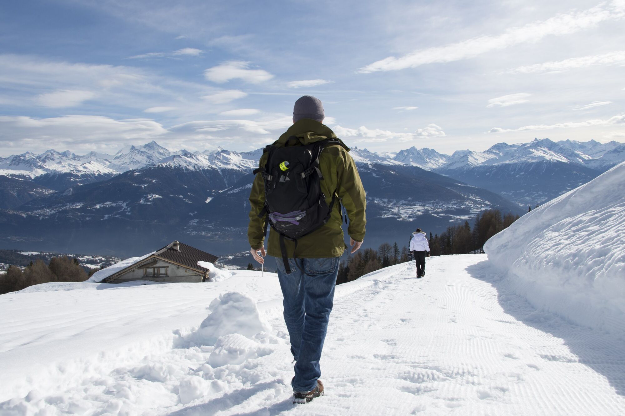

Starting from the cable car parking, the DAHU TOUR route begins with the ascent of the Brune slope for about an hour. It then crosses the ski area by a road that runs along the hillside towards the Mayens des Grillesses. It is possible to shorten the walk by taking the cable car to the intermediate station and joining the route there. From there, after this long straight section, you will return westwards towards Anzère via the Grillesses road.
We recommend:
Good waterproof shoes Snowshoes Walking poles Clothing adapted to the weather and cold: always have a waterproof jacket Hat or cap Sunscreen Water bottle, picnic Camera Printed version of the route (click "print" to download)The use of the routes and information on this website is the responsibility of each hiker. Conditions on site may cause route changes. Valais/Wallis Promotion declines all responsibility for the accuracy and completeness of the information on the website.
Carry a map. Download the complete description of the route with a large-scale map by clicking the "print" icon at the top right of the page. Use only marked paths and observe all signage – for your safety, livestock protection, and to avoid disturbing wildlife. Be respectful of other users, as well as plants and animals. Do not litter nature. Pay particular attention to protecting yourself from the sun at altitude. UV rays can be very powerful, even under cloudy skies. Plan your hike carefully: take into account the physical level of each participant, weather forecast, and the season. Weather conditions can change quickly and unexpectedly in the mountains. It is essential to have appropriate clothing as well as sufficient food and water supplies. In case of uncertain weather, turn back in time. Do not venture on glaciers without a mountain guide. Be aware of constant danger signs, especially avalanche danger.The access to the hiking trail is located 100 meters west of the cable car departure.
Postal bus lines take you from Sion to the cable car departure. A shuttle also runs in the village of Anzère from the opening of the ski area until its closing.
It is possible to park directly at the cable car departure. There are other parking areas in the resort. The winter shuttle will take you from one of these parking areas to the cable car departure.
1
For those who wish to avoid the Brune ascent, which lasts one hour, it is possible to take the cable car to join the route at the intermediate station of the ski area. A pedestrian pass is available at a lower cost.
This activity is proposed by Anzère Tourism. Valais/Wallis Promotion is not responsible for the content offered.
The Grenier de Zalan and the Hot Point are two must-visit restaurants on this route.

Webové kamery z prehliadky

Obľúbené výlety v okolí
-
5,0
Bisse du Ro
svetloTuristika 11,2 km -
4,2
Grand Bisse de Lens
svetloTuristika 8,73 km -
4,5
Tour de l'éboulement des Diablerets
svetloTuristika 6,52 km -
4,6
Lauenen - Höji - Bühlhaus Lauenensee
strednáTuristika 9,03 km -
4,0
Tripon - Brac – Ancien Bisse du Torrent Neuf – St. Marguerite – Torrent Neuf – Prafirmin - St. Germain
svetloTuristika 12,9 km -
5,0
Grand bisse d’Ayent
strednáTuristika 11,7 km -
5,0
Family-friendly Tsittoret bisse
svetloTuristika 7,14 km -
4,0
Belvédère via ferrata
strednáVia ferrata 1,81 km -
4,7
Leiterli (Bergstation) - Berghaus Leiterli
svetloTuristika 7,45 km -
4,0
Around the Tseuzier Reservoir
svetloTuristika 4,58 km

Turistika a stopovanie


Nenechajte si ujsť ponuky a inšpiráciu na ďalšiu dovolenku
Vaša e-mailová adresa bol pridaný do poštového zoznamu.





