







Cross-country: Le Châtel
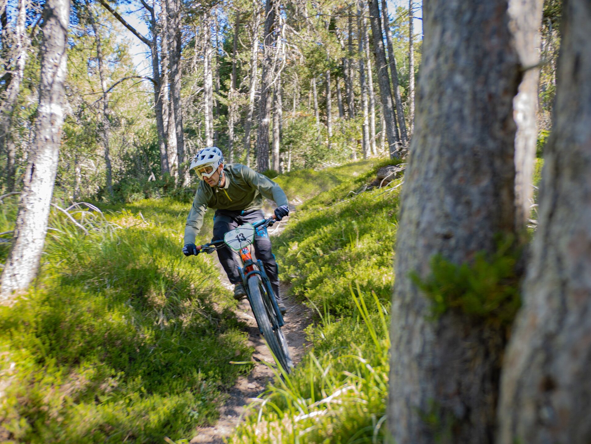
The itinerary visits the ARC riverbank via the "Chemin du Petit Bonheur" (or "Happy-go-lucky Trail"), returning via a pleasant singletrack path through the forest. This fairly flat, highly accessible trail...
The itinerary visits the ARC riverbank via the "Chemin du Petit Bonheur" (or "Happy-go-lucky Trail"), returning via a pleasant singletrack path through the forest. This fairly flat, highly accessible trail takes you through the quiet hamlet of Le Châtel where tranquillity reigns!


As hazards may occur at any time on the routes, the GPX tracks provided are not contractual. They are provided for information only. Riders use them at their own risk, depending on their level of technological proficiency and their understanding of the terrain.
Obľúbené výlety v okolí
-
5,0
BARDONECCHIA Colle Sommeiller
strednáMountainbike 25,4 km -
little 'Haute-Maurienne Vanoise' circuit
ťažkéCestný bicykel 32,0 km -
BARDONECCHIA Rochemolles Dam - Scarfiotti Refuge
strednáTuristika 7,77 km -
4,0
Hiking at Lake Clair
ťažkéTuristika 6,99 km -
Refuge du Fond d'Aussois - a wild valley in the Vanoise - 2-day hike
svetloTuristika 9,22 km -
The White Lake
svetloTuristika 4,42 km -
5,0
The Builder's Trail on foot
svetloTematická trasa 7,23 km -
BARDONECCHIA Decauville Loop - Scarfiotti Refuge
svetloMountainbike 34,0 km -
Col de l'Iseran from Modane
ťažkéCestný bicykel 59,5 km -
Col du Mont Cenis from Modane
ťažkéCestný bicykel 34,8 km
Turistika a stopovanie


Nenechajte si ujsť ponuky a inšpiráciu na ďalšiu dovolenku
Vaša e-mailová adresa bol pridaný do poštového zoznamu.





