


Snowshoeing itinerary: The dams
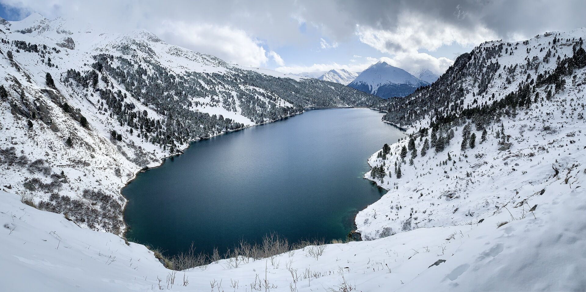
Along the way, a waterfall of ice catches the eye, reminding us of the constant presence of water in these high-altitude landscapes. Here, torrents, lakes and dams bear witness to the way in which this...
Along the way, a waterfall of ice catches the eye, reminding us of the constant presence of water in these high-altitude landscapes. Here, torrents, lakes and dams bear witness to the way in which this precious resource is preserved and transformed. A walk that invites us to look at the mountains differently, both in their natural beauty and in the ingenuity they inspire.

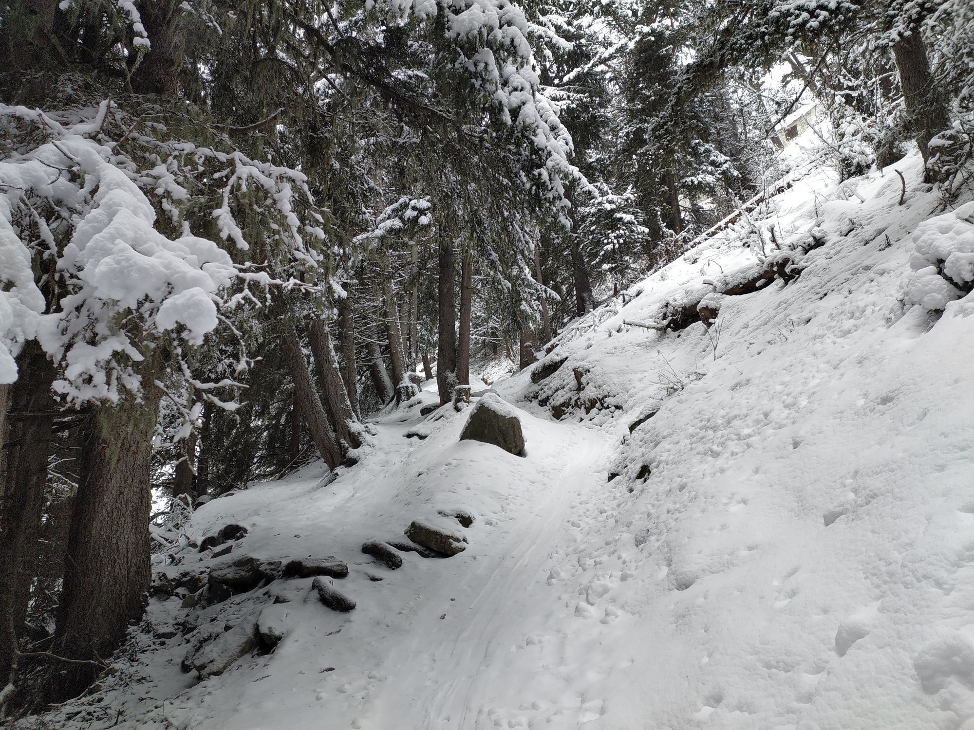
1/ At the top of the Grand Jeu chairlift, turn left and follow the downhill ski slope, keeping a watchful eye on the side. Then cross the slopes to reach two small slope service huts.
2/ 0 h 10 - From the huts, take the groomed path that winds down to a viewpoint, passing through the Carrière 1 parking lot and then Plan d'Aval.
3/ 1 h - After enjoying the view and discovering the local information, continue on the downhill groomed path. After the two hairpins, fork right to enter the forest and reach the intersection at altitude 1820, at the foot of the ski slope.
4/ 1 h 45 - Cross the piste, then follow it for a few metres in the opposite direction to the skiers. The itinerary continues to igzag between forest and clearings, joining a ski run in the hairpin bend.
5/ 2 h 30 - From this hairpin bend, follow the piste with care. Continue through two hairpins, then turn right at the last one to reach the finish.
6/ 2 h 45 - Maison d'Aussois .
Find out about weather conditions and avalanche risk before you set off (weather services, mountain rescue services, professionals, tourist office...).
Equipment and clothing must be adapted to the forecast.
Postpone your activity if the weather forecast is poor. Respect safety instructions and do not venture off the marked routes in winter.
Obľúbené výlety v okolí
-
5,0
BARDONECCHIA Colle Sommeiller
strednáMountainbike 25,4 km -
BARDONECCHIA Rochemolles Dam - Scarfiotti Refuge
strednáTuristika 7,77 km -
Refuge du Fond d'Aussois - a wild valley in the Vanoise - 2-day hike
svetloTuristika 9,22 km -
The White Lake
svetloTuristika 4,42 km -
5,0
The Builder's Trail on foot
svetloTematická trasa 7,23 km -
Col du Mont Cenis from Lanslebourg
ťažkéCestný bicykel 9,84 km -
Col de l'Iseran from Modane
ťažkéCestný bicykel 59,5 km -
Col du Mont Cenis from Modane
ťažkéCestný bicykel 34,8 km -
5,0
Goldtoni - Alpenbogen A068 Refuge de la Leisse-Termignon Val Cenis
strednádiaľková pešia trasa 28,7 km -
5,0
Walking tour of the Plan du Lac refuge
svetloTuristika 4,58 km

Turistika a stopovanie


Nenechajte si ujsť ponuky a inšpiráciu na ďalšiu dovolenku
Vaša e-mailová adresa bol pridaný do poštového zoznamu.