



Tanne Göcker Way

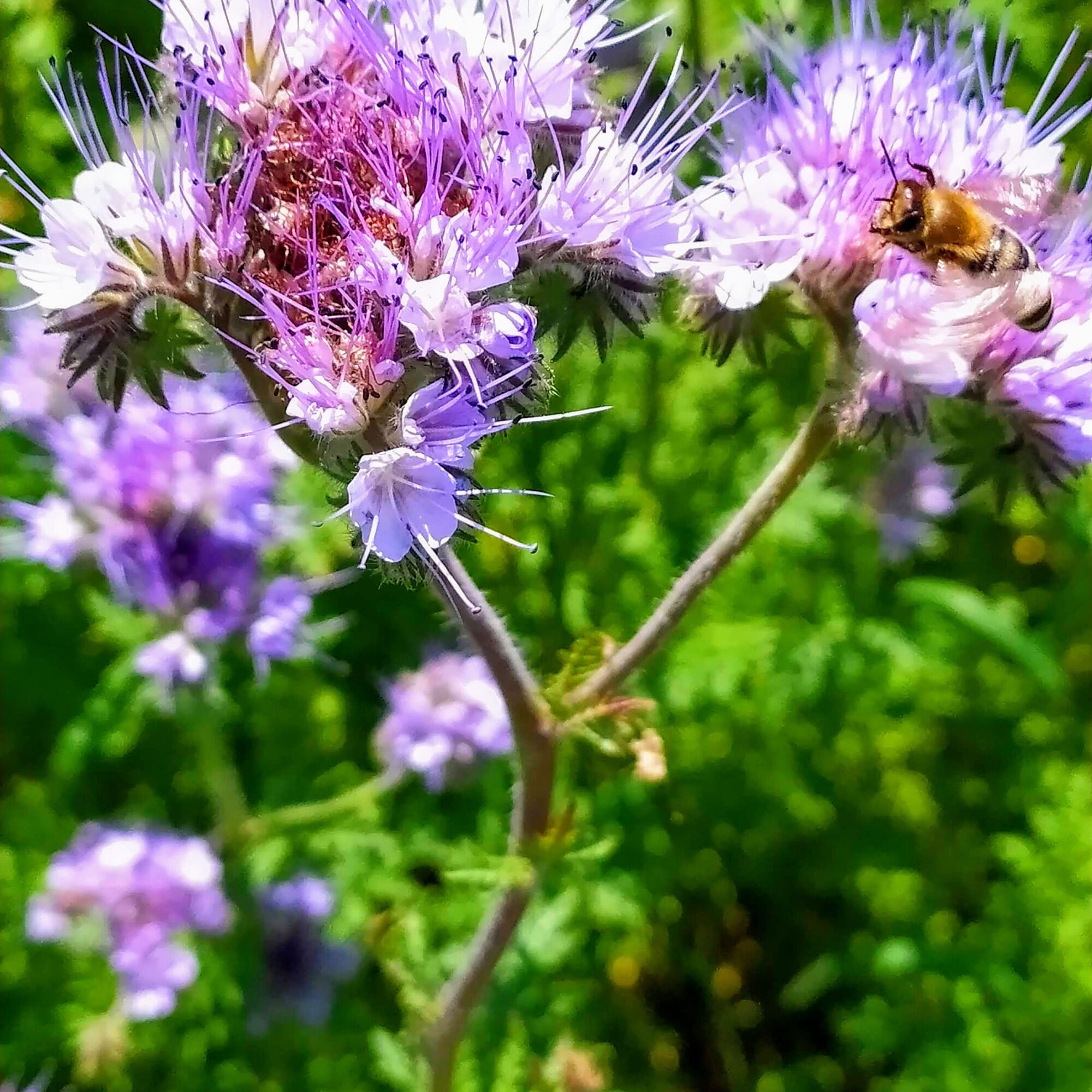
All senses are stimulated on this route. The eye is spoiled by panoramic views, the nose enjoys the scents of flower meadows, grain fields, forests, and small streams, and the benches you encounter invite...
All senses are stimulated on this route. The eye is spoiled by panoramic views, the nose enjoys the scents of flower meadows, grain fields, forests, and small streams, and the benches you encounter invite you to rest and have a snack.
Note: At kilometer 6, you can turn right (instead of left) and return directly to the village, passing the cemetery and back to the starting point. This way, the route can be shortened to 7 km.


Comfortable shoes and provisions for the route
Follow the signs to Sonderriet and from there to the community center in the town center,
There are ample parking spaces at the Sonderriet community center and an information board with the route.

Obľúbené výlety v okolí
-
5,0
On the way to Himmelreich
strednáTuristika 15,0 km -
5,0
Dorfprozelten: Kollenburg-Chapel-Route
strednáTuristika 11,8 km -
4,0
Around the Kaffelstein
svetloTuristika 4,71 km -
5,0
Roman Route in Miltenberg M1
ťažkéTuristika 15,3 km -
Wertheim - Urphar - Wertheim
strednáTuristika 12,8 km -
MainRadweg Wertheim bis Miltenberg
Cyklistika 35,7 km -
Nibelungensteig - 6th stage from Miltenberg to Amorbach
ťažkéTuristika 13,2 km -
4,5
Ottostein Route M2
strednáTuristika 6,84 km -
South Spessart Trail
ťažkédiaľková pešia trasa 60,8 km -
In the footsteps of the Celts, Romans and Nibelungs
ťažkéTuristika 13,1 km
Turistika a stopovanie


Nenechajte si ujsť ponuky a inšpiráciu na ďalšiu dovolenku
Vaša e-mailová adresa bol pridaný do poštového zoznamu.


