







Hike into the Mechenhard vineyards
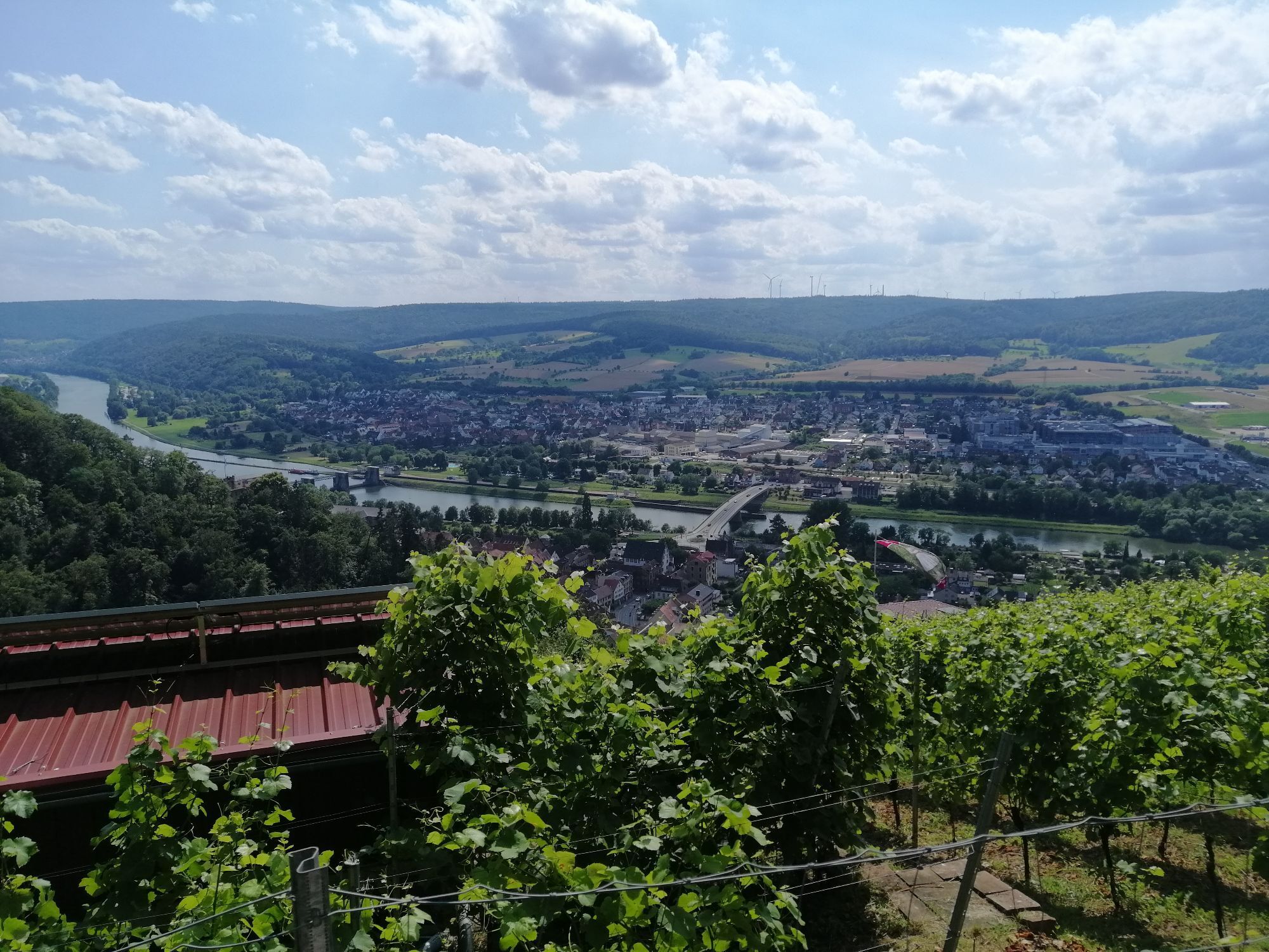

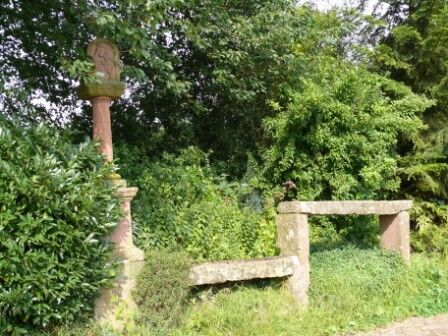
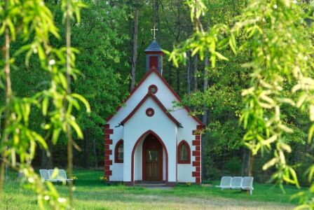
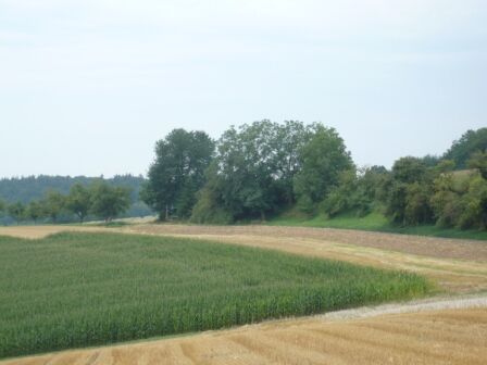
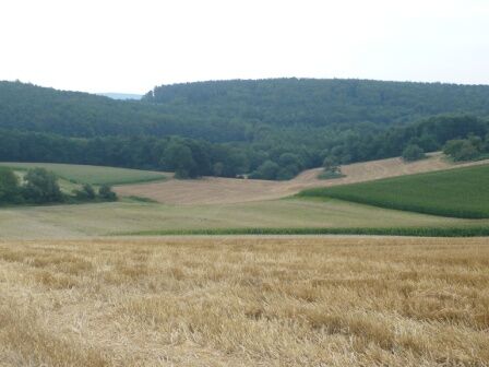
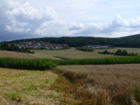

Turn left onto Weinbergstraße via the “Müllersweg” following the trail markers “Butterfly” and “Red Stripe.” The paved agricultural road, which offers a beautiful view of Mechenhard fields, leads past the “Ruhbank.” This consists of two stone benches designed as seating or for setting down burdens. Next to it is the Virgin Mary shrine from 1731. From the Ruhbank, continue to follow the “Butterfly” trail marker and reach the Mechenhard vineyards. Along a magnificent deciduous forest edge, with the best views over the Main valley, proceed to the former Klingenberger gallows. From there, follow the “Butterfly” through the forest to the forest edge above Mechenhard. Here, too, the stunning view will delight you; on clear days, the view extends to the Taunus. Following the forest edge, go downhill to the trail marker “Schluchtgraben,” then turn right to the center of Mechenhard and back to the starting point at the chapel.
Difficulty level: moderate, not suitable for strollers.
The nature park parking lot is located at the exit of Mechenhard towards Streit when coming from Erlenbach a. Main, directly at the road intersection to Schmachtenberg and Streit.
Parking available.
Obľúbené výlety v okolí
-
"Of Clay, Stones and Shards"
strednáTuristika 8,31 km -
5,0
Dorfprozelten: Kollenburg-Chapel-Route
strednáTuristika 11,8 km -
5,0
Roman Route in Miltenberg M1
ťažkéTuristika 15,3 km -
Obernburg - Eisenbach round
strednáTuristika 10,7 km -
4,0
European cultural route: "From Hecke to Häcke in Hebboch"
strednáTuristika 10,2 km -
5,0
Rüdenau mountain hike R1
ťažkéTuristika 13,8 km -
Miltenberg - Engelberg Monastery - Kleinheubach Castle - round trip
ťažkéTuristika 12,6 km -
MainRadweg Wertheim bis Miltenberg
Cyklistika 35,7 km -
Nibelungensteig - 6th stage from Miltenberg to Amorbach
ťažkéTuristika 13,2 km -
3,0
Franconian Red Wine Hiking Route - 4th stage from Erlenbach to Klingenberg
svetloTuristika 4,08 km
Turistika a stopovanie


Nenechajte si ujsť ponuky a inšpiráciu na ďalšiu dovolenku
Vaša e-mailová adresa bol pridaný do poštového zoznamu.





