






Les Huttes

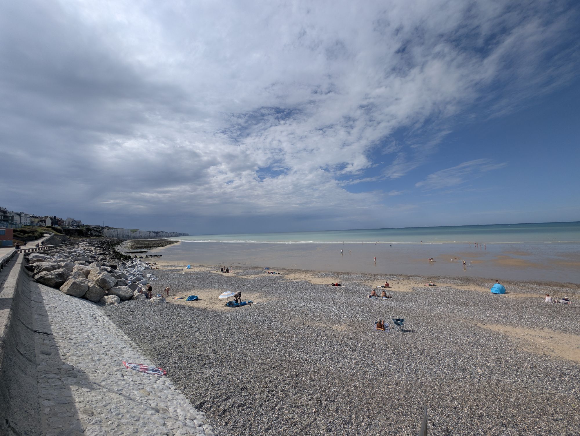
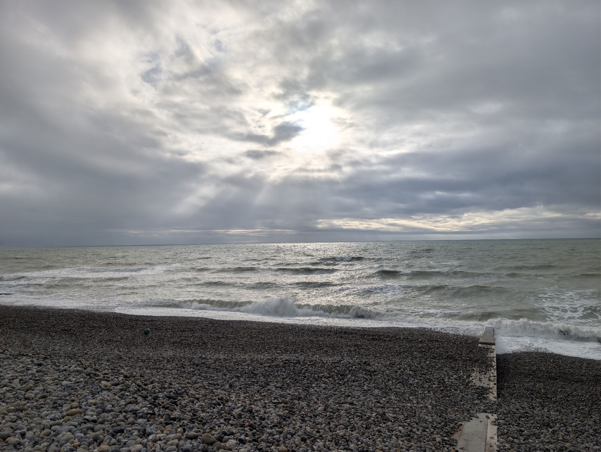
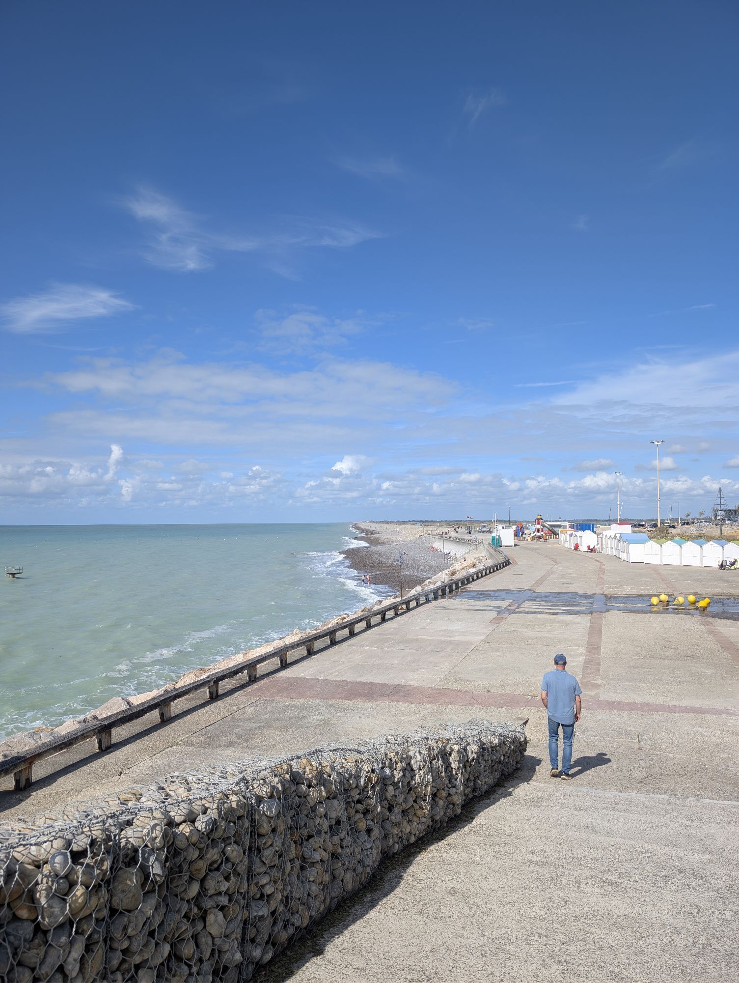
A discovery walk in the heart of the "Bas-Champs", these lands conquered from the sea where the "hâble d'Ault" nestles. Gateway to the landscapes of the Bay of Somme, this circuit alternates between plains...
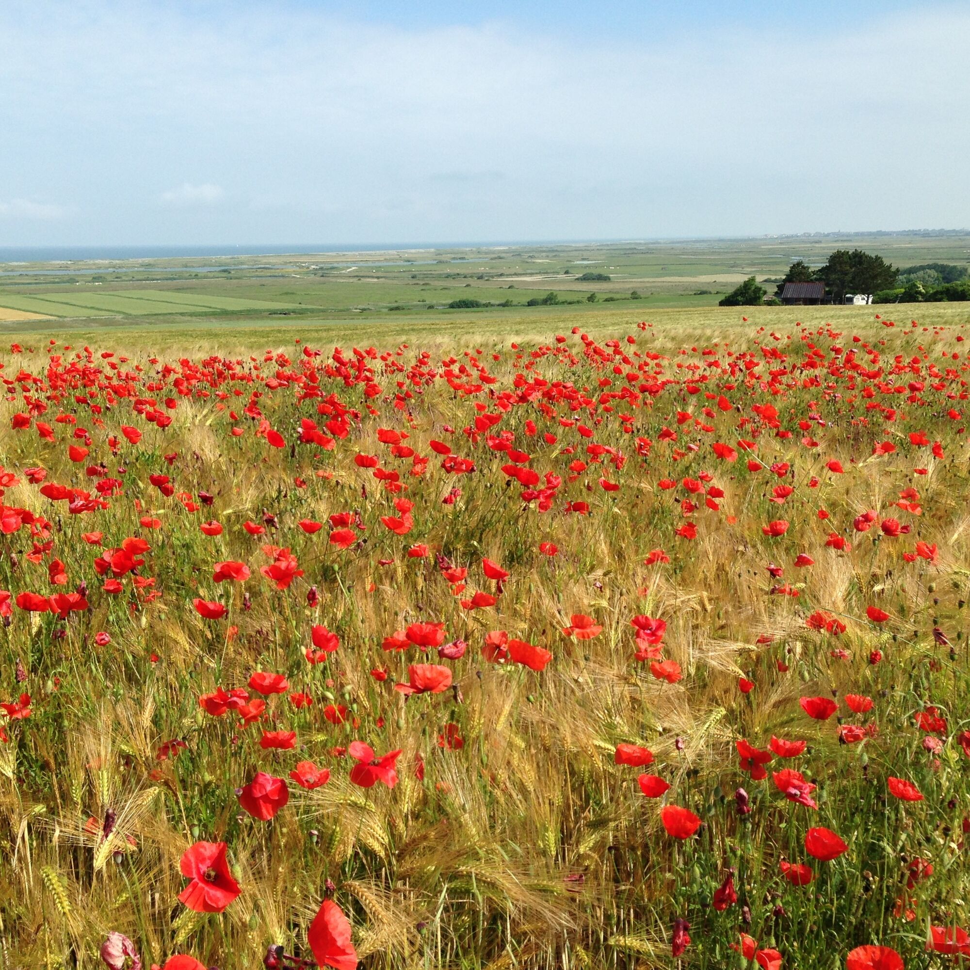
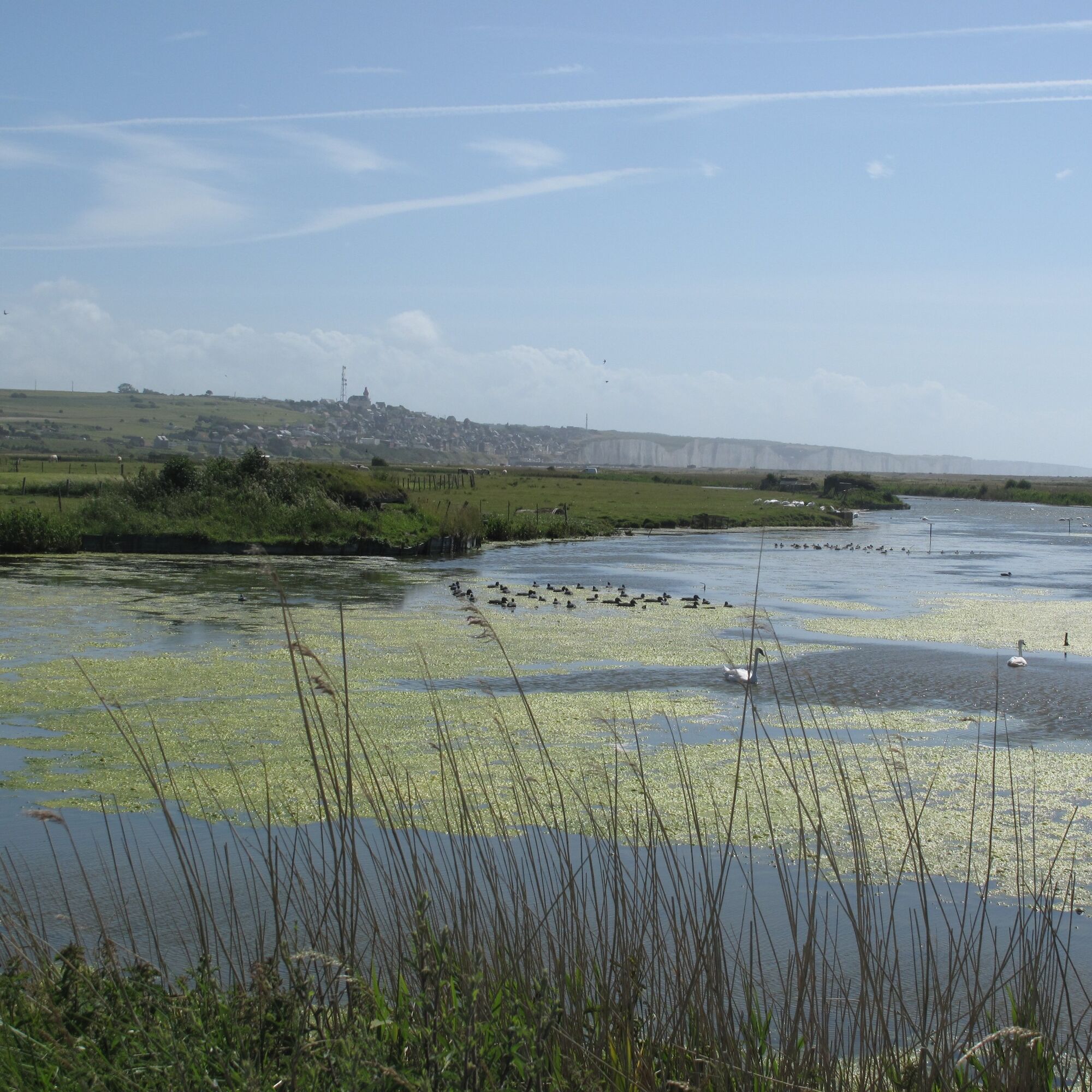
A discovery walk in the heart of the "Bas-Champs", these lands conquered from the sea where the "hâble d'Ault" nestles.
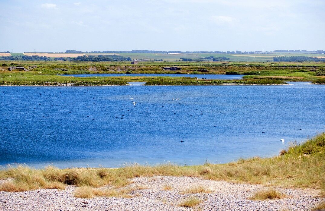
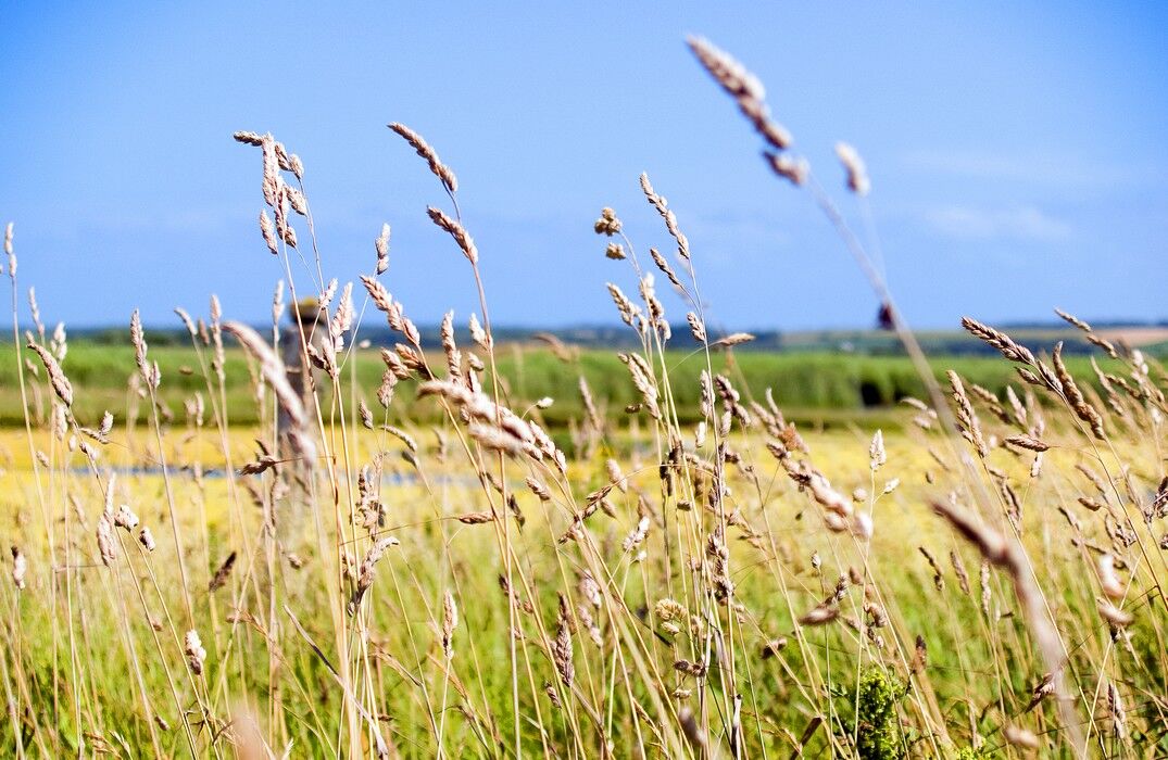
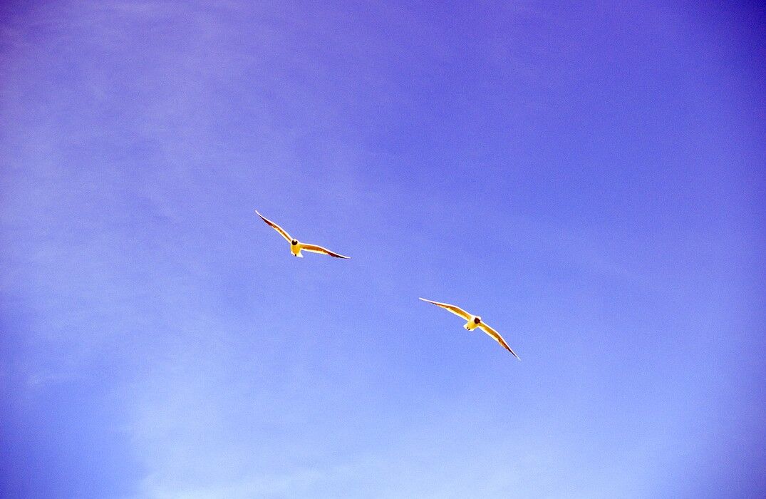
Gateway to the landscapes of the Bay of Somme, this circuit alternates between plains and marshes. Starting from Ault, descend the beach esplanade and take the Mélina path passing behind the campsite. Follow the plains to reach the Hautebut estate, hamlet of Woignarue. The Hâble d'Ault is a classified natural site, this reserve counts no less than 270 bird species. Make a tour of the pond, then reach the pebble dyke and return to the parking lot.


Obľúbené výlety v okolí
-
Circuit vélo – Gravelot
strednáCyklistika 36,8 km -
La Vélomaritime® - EuroVelo4 - From Fort Mahon to Mers les Bains
svetloMountainbike 80,0 km -
Lamotte Circuit
svetloTuristika 11,4 km -
The Baie de Somme coastal path
svetloTuristika 51,3 km -
The Hâble d'Ault Bird Reserve
svetloTuristika 6,05 km -
Circuit of the Isle
svetloTuristika 11,4 km -
Circuit vélo – Tour de Baie
svetloCyklistika 30,6 km -
Walk in Saint-Valery-sur-Somme
svetloTuristika 7,10 km -
The Vélomaritime® - EuroVelo4 - Le Tréport -> Cayeux-sur-Mer
svetloMountainbike 22,5 km -
Mésange Circuit
svetloCestný bicykel 38,4 km
Turistika a stopovanie


Nenechajte si ujsť ponuky a inšpiráciu na ďalšiu dovolenku
Vaša e-mailová adresa bol pridaný do poštového zoznamu.





