





Day trip from Kajaani to Iso Ruuhijärvi 12 km, Kajaani Finland
The lake offers several possibilities and a trip is worth it. If you want, you can go fishing, boating, or even spend the night in a lakeside cabin with a sauna. The trail conditions are sometimes very...
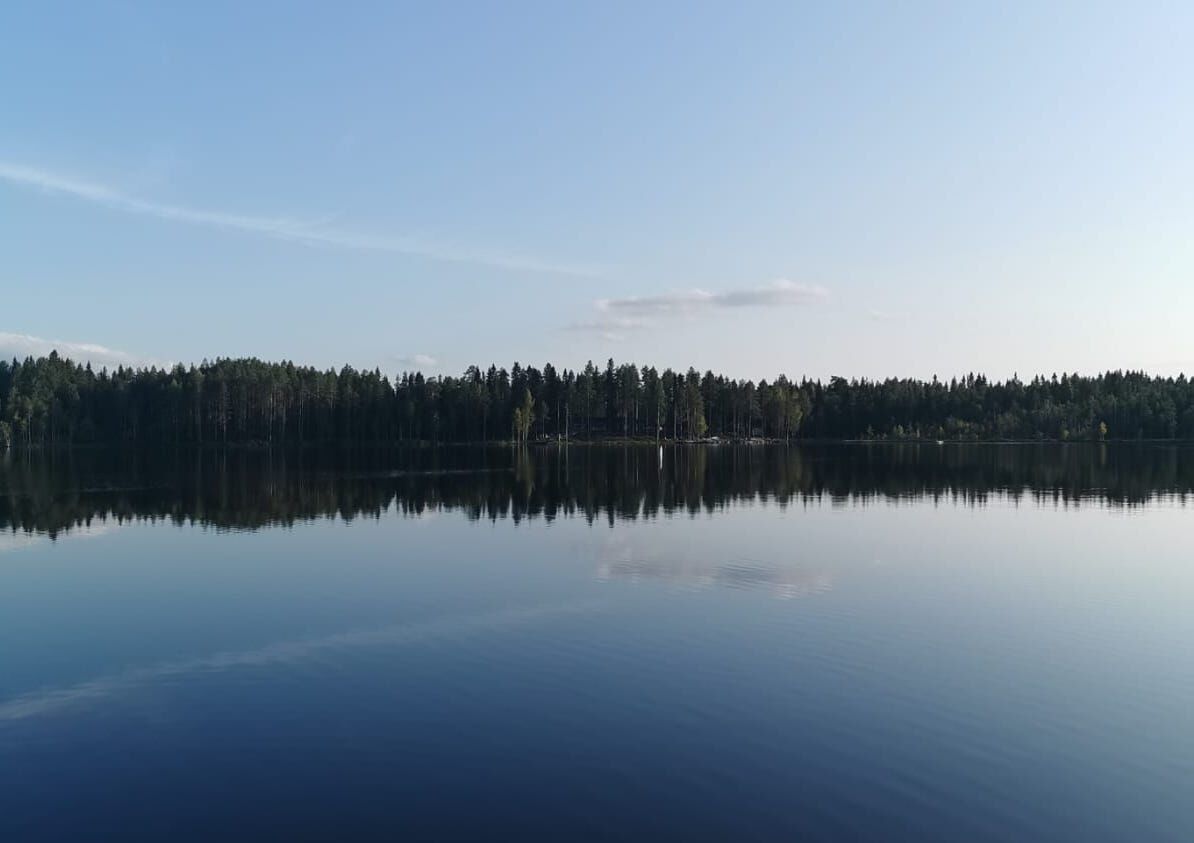
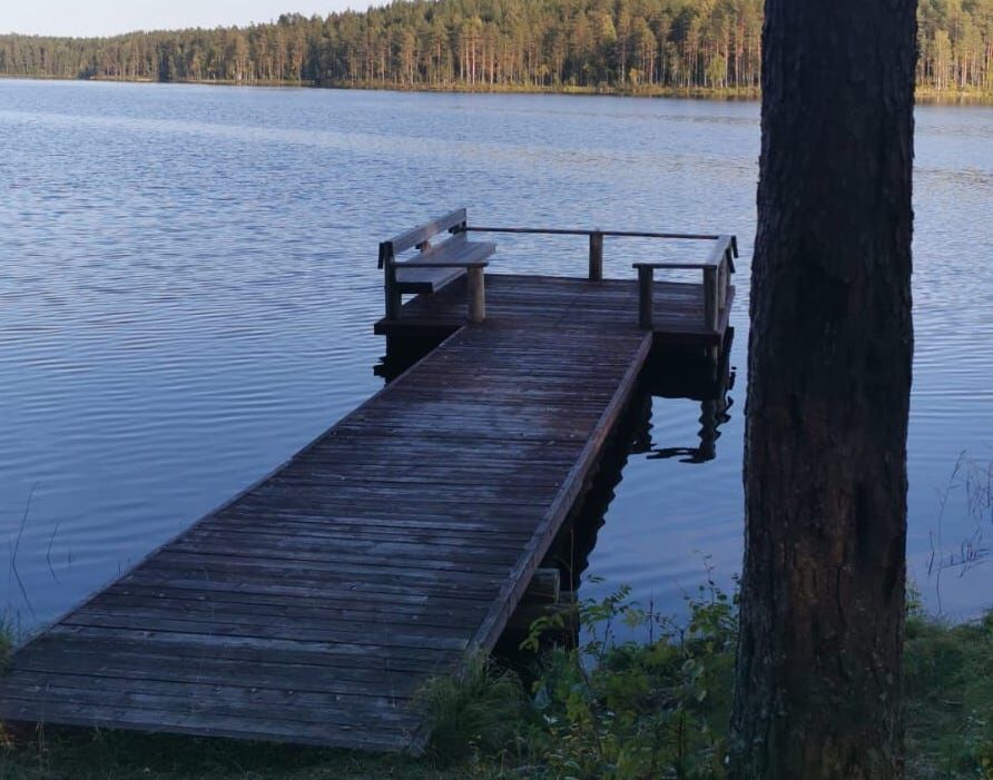
The lake offers several possibilities and a trip is worth it. If you want, you can go fishing, boating, or even spend the night in a lakeside cabin with a sauna. The trail conditions are sometimes very poor and muddy, so waterproof hiking boots are highly recommended.

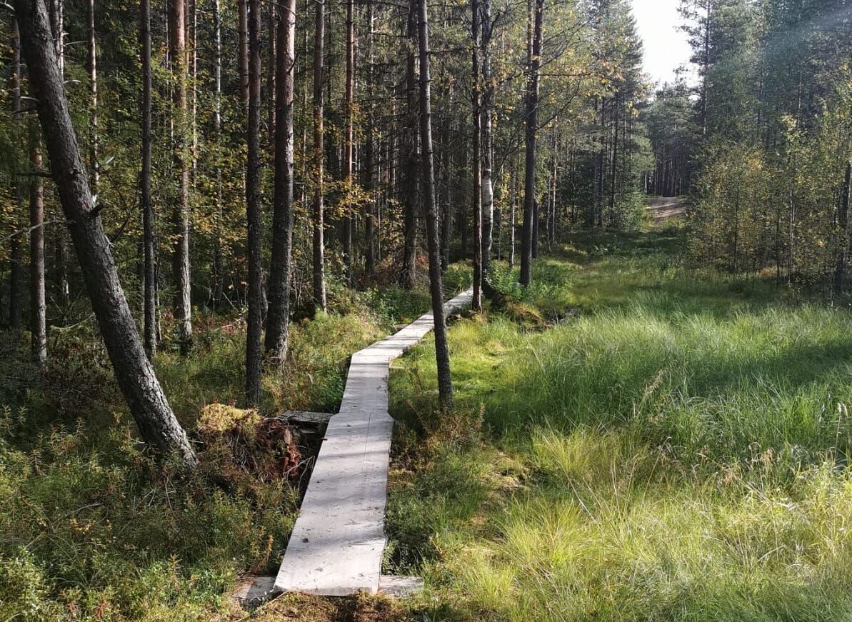
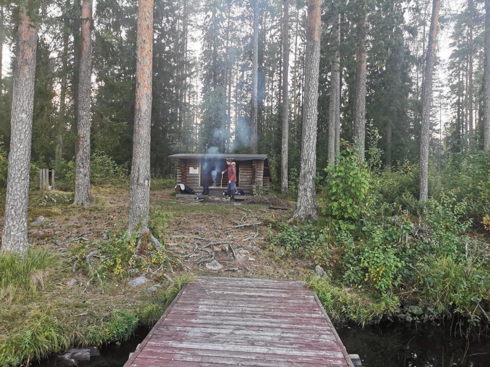
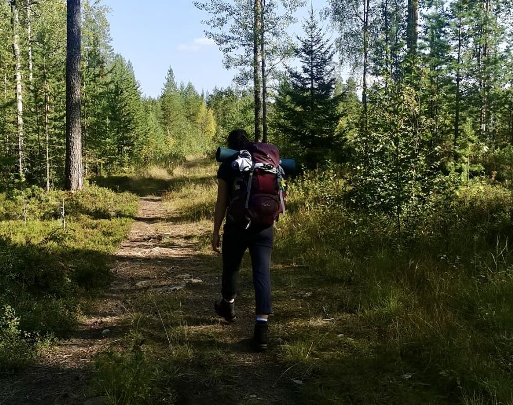
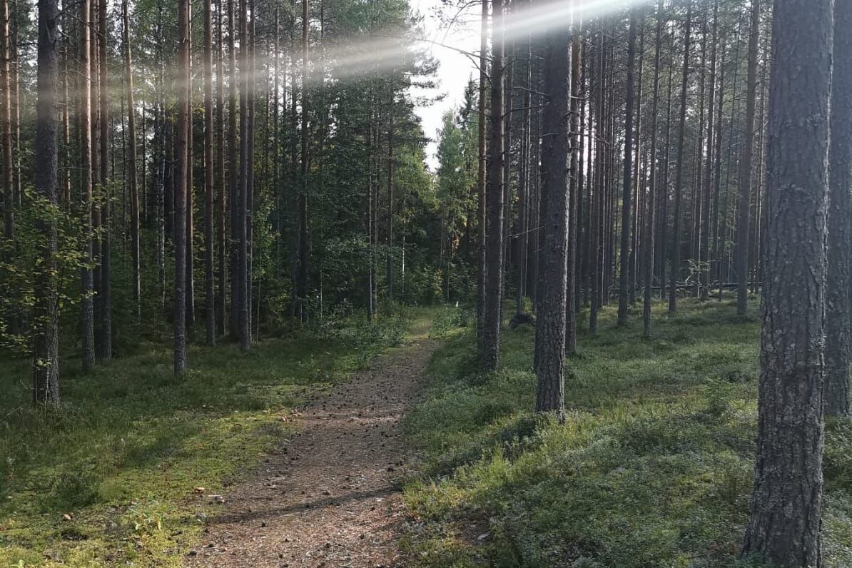
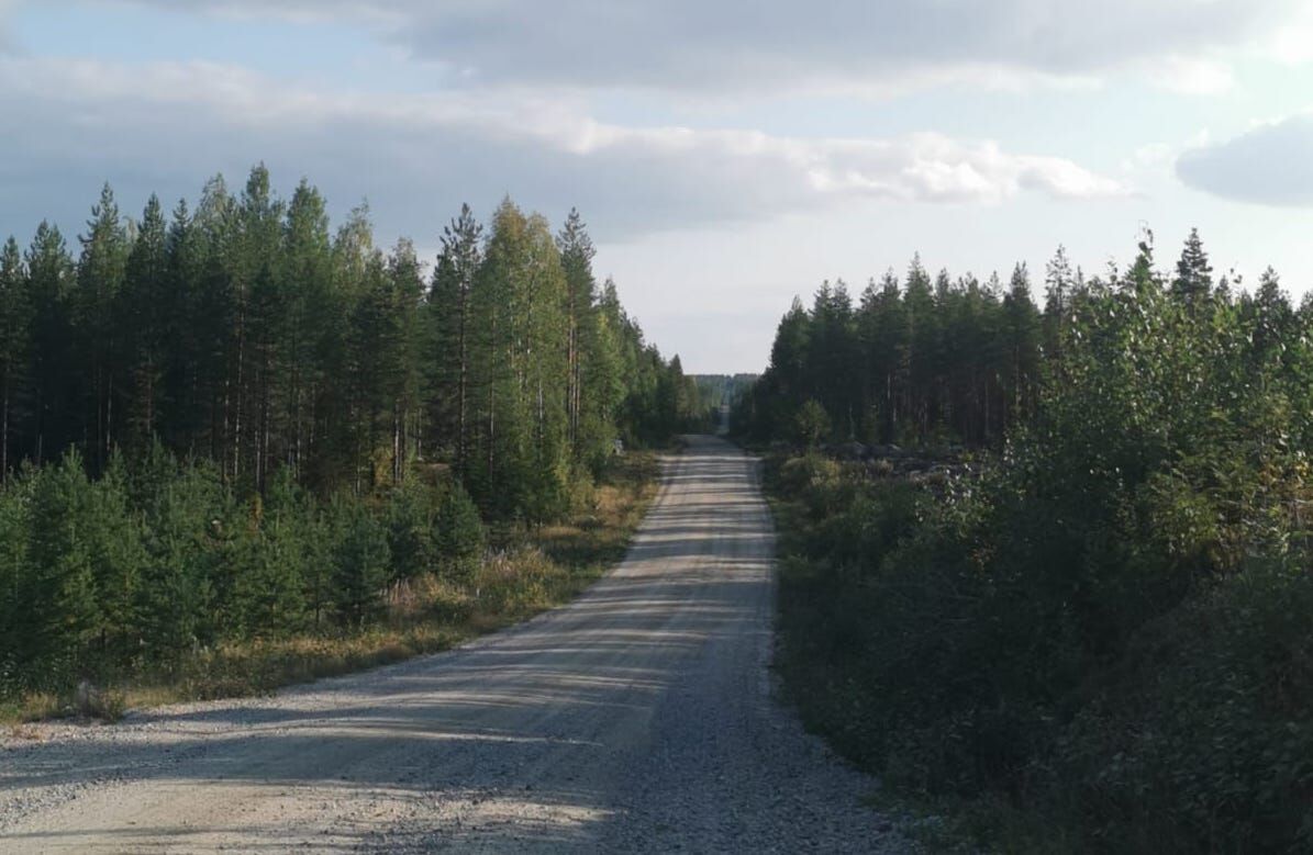

The starting point and the parking lot of the route are located about 1.8 km from the city center. From here, follow the brown sign next to the large map in the direction of Iso Ruhijärvi and go straight along the green arrows. Follow these until you come to a brown hiking sign indicating the way to the left. Here you can see a bridge, under which you pass. Here you enter the forest. Then you follow the footpath and the green arrows to the next signpost, where you again follow the inscription Iso Ruuhjärvi. Finally you reach a road, which you cross and follow the signs (turn left). Now you just follow the road until you turn left at the end. Follow this path until you see a signpost with the inscription Iso Ruuhjärvi, which points to the right.
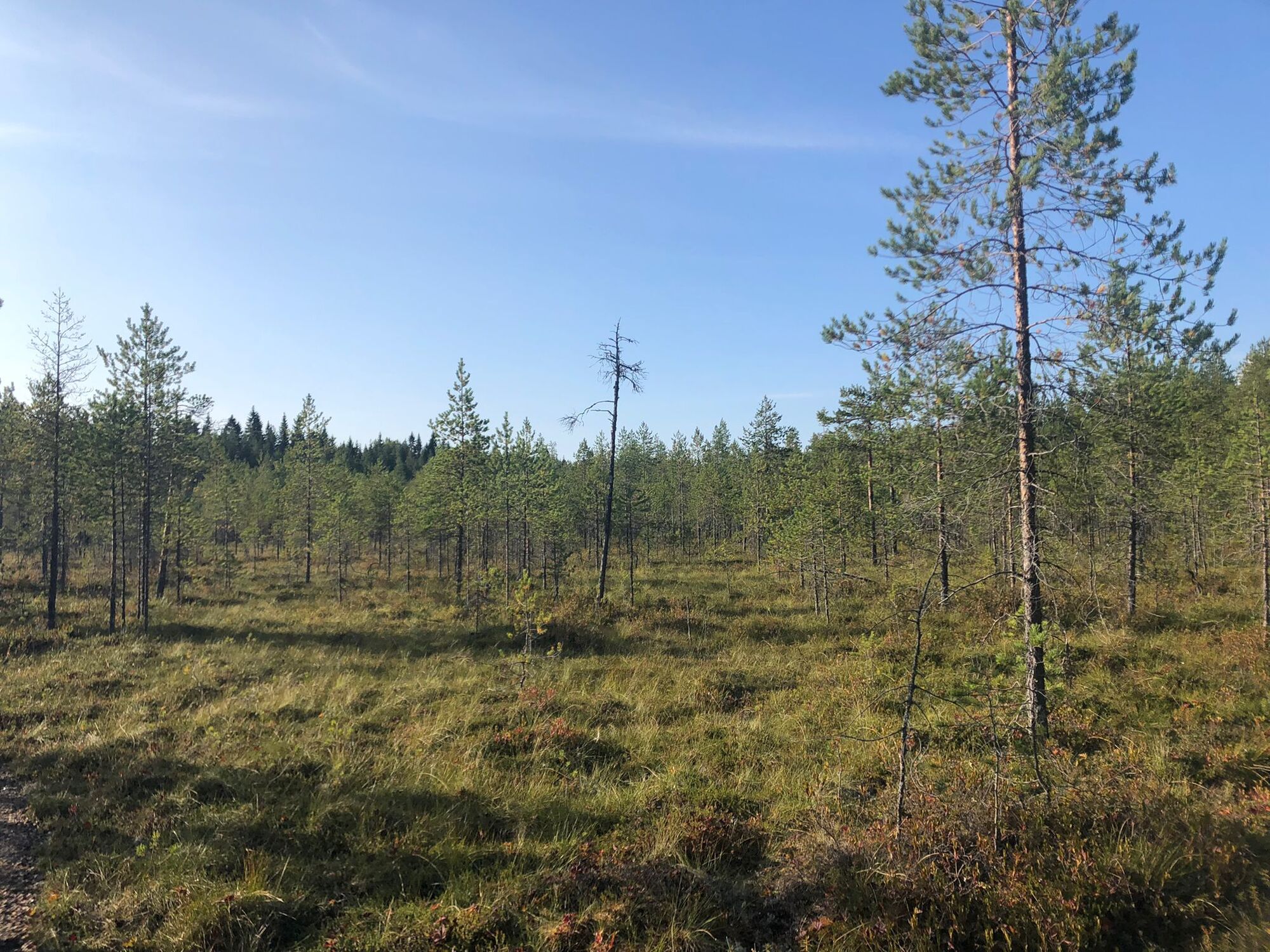
For the next 3km you follow a path in the forest, which always leads next to a street. Approximately at the half of the path you cross a car road where you will see signs and red crosses for warning before. Partly there are duckboards on the path but many areas are swampy. At the end of the path you reach a sign which tells you that you are in front of a military area. At this point you turn right and you will walk past a beautiful birch forest, which is a highlight on the route. At the end of this forest, you cross a wooden bridge and reach a more swampy path in the forest which you follow for 1 km. There you come to a bigger gravel path and you turn left in the direction Iso Ruhijärvi for the next 1,2km until you meet a wide gravel road. Turn left here and follow the road for 2,9km. Take care of cars here. After the 2,9km on the road you turn left to a path where you can see a small lake. At this point there are no signs yet why you should use a GPS track or look for the little lake. There you reach a path with green arrows on trees showing the way. Following the signs for 1,7km you will be at your finish point: the lake Iso Ruhijärvi. There is a circle trail around the lake which can be walked additionally.
Suitable hiking boots
- The trail is muddy and swampy in places and not yet boarded up.
- The trail passes several military areas
- The trail runs 2.9 km along a wide gravel road on which many military vehicles travel at times.
From Kajaani coming follow the way to the ice hockey stadium (kajaanin jäähalli). Behind the stadium is a parking place with signs of directions close to a red house.
Kajaanin sisäinen joukkoviikenne kulkee myös Vimpelinlaakson kautta.
Parking place for hikers.
- There are many edible mushrooms (porcini and birch mushrooms) and berries along the way
- The parking lot is located behind the ice hockey stadium
- The path is mostly marked with green arrows; directional signs and proper signposts are being planned
- The route is intended for hiking in the summer
Voit yhdistää reittiin muita Vimpelin maaston reittejä.
Obľúbené výlety v okolí
-
Kesäniemi - Kuluntalalahti paddling route 11 km, Kajaani
strednáKajak / Kanu 11,5 km -
Vimpelinlampi Walking Trail 2,5 km, demanding accessible, Kajaani Finland
svetloTematická trasa 2,51 km -
Arppen forest trail 2.2 km, Kajaani
svetloTuristika 2,06 km -
Kuluntalahti - Rehja island paddling route 8/16 km, Kajaani
strednáKajak / Kanu 7,18 km -
Tour de Nuas road cycling route 85 km, Vuokatti
ťažkéDiaľková cyklotrasa 84,6 km -
Pirunvaara - Kirkkokallio hiking trail 13 km, Kajaani Finland
strednáMountainbike 11,9 km -
Akkovaara family excursion - About devils and giants 2 km, Kajaani Finland
strednáTuristika 2,31 km -
Eino Leino cultural walk, 2 km, Kajaani Finland
svetloTematická trasa 1,96 km -
6 km from Kuurna paddling barn to the market square, Kajaani
strednáKajak / Kanu 5,97 km -
Paddling trip to the Särämäjärvi bird waters 10 km, Kajaani
strednáKajak / Kanu 10,4 km
Turistika a stopovanie


Nenechajte si ujsť ponuky a inšpiráciu na ďalšiu dovolenku
Vaša e-mailová adresa bol pridaný do poštového zoznamu.





