


CYCLE LOOP No.5 - THE PIC SAINT-LOUP ROUTE
Here is a magnificent route, continuously dominated by the sacred mountain of Pic Saint-Loup, sentinel of the Hérault, which you can admire from all angles. Diversity will be on the agenda, with superb...
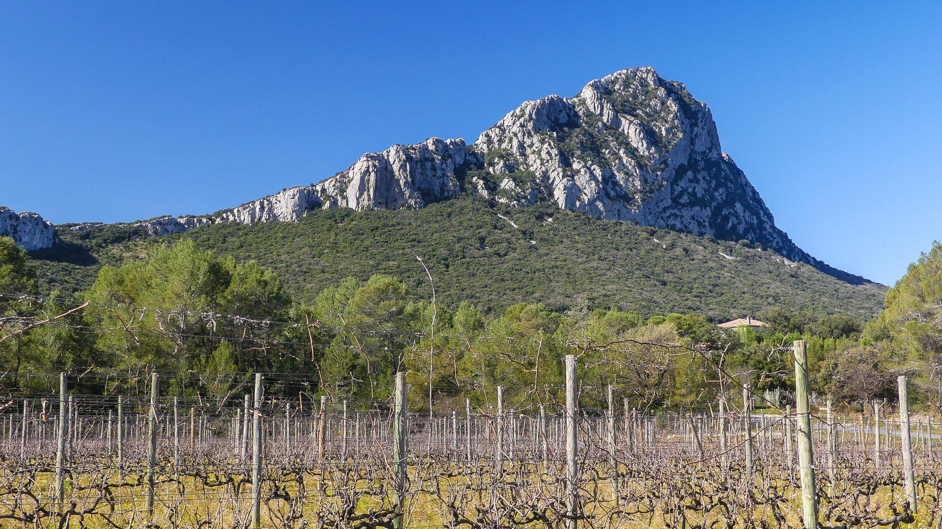
Here is a magnificent route, continuously dominated by the sacred mountain of Pic Saint-Loup, sentinel of the Hérault, which you can admire from all angles. Diversity will be on the agenda, with superb road sections featuring views, medieval and prehistoric heritage, and of course the crossing of the famous AOC Pic Saint-Loup.
You will cross the villages of Viols-le-Fort, Cazevieille, and Saint-Jean-de-Cuculles, along beautiful roads through garrigue and vineyards until reaching Saint-Mathieu de Tréviers.

1
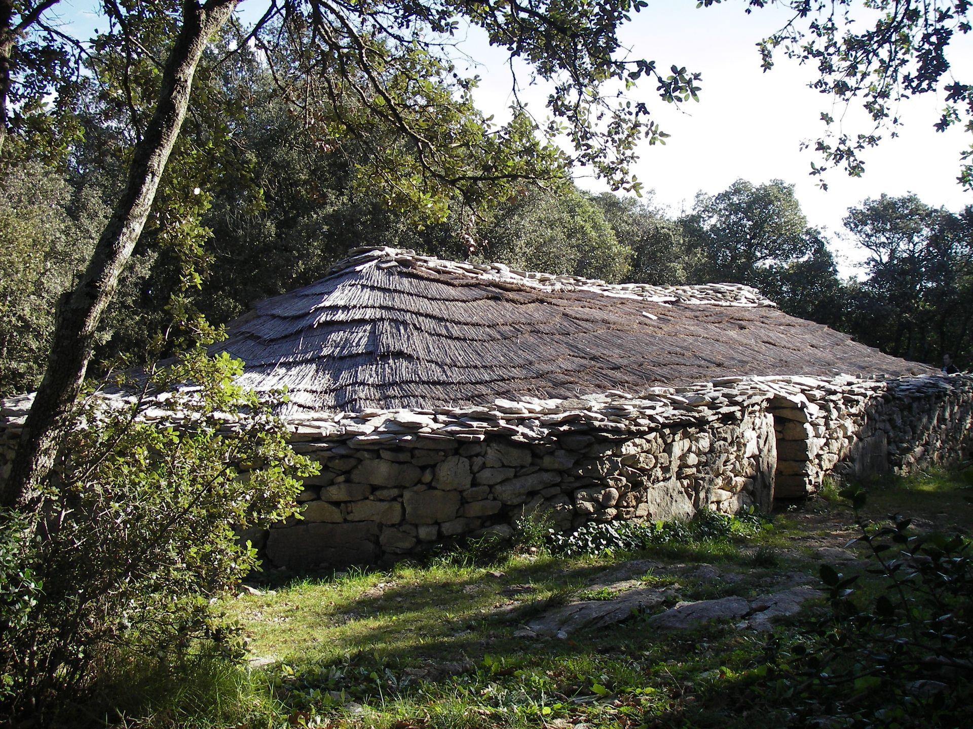
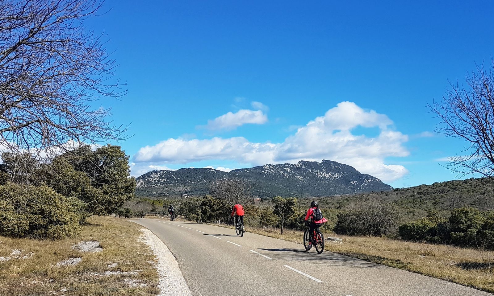
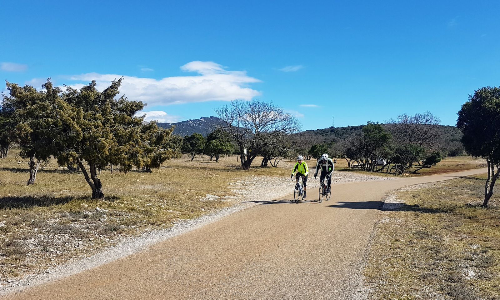
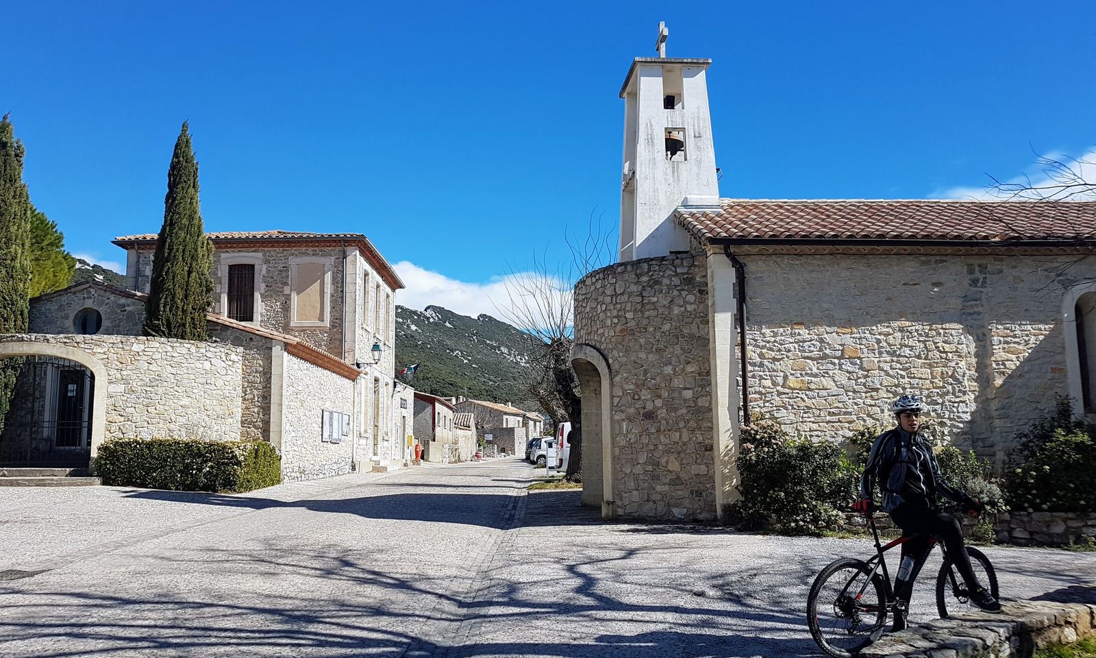
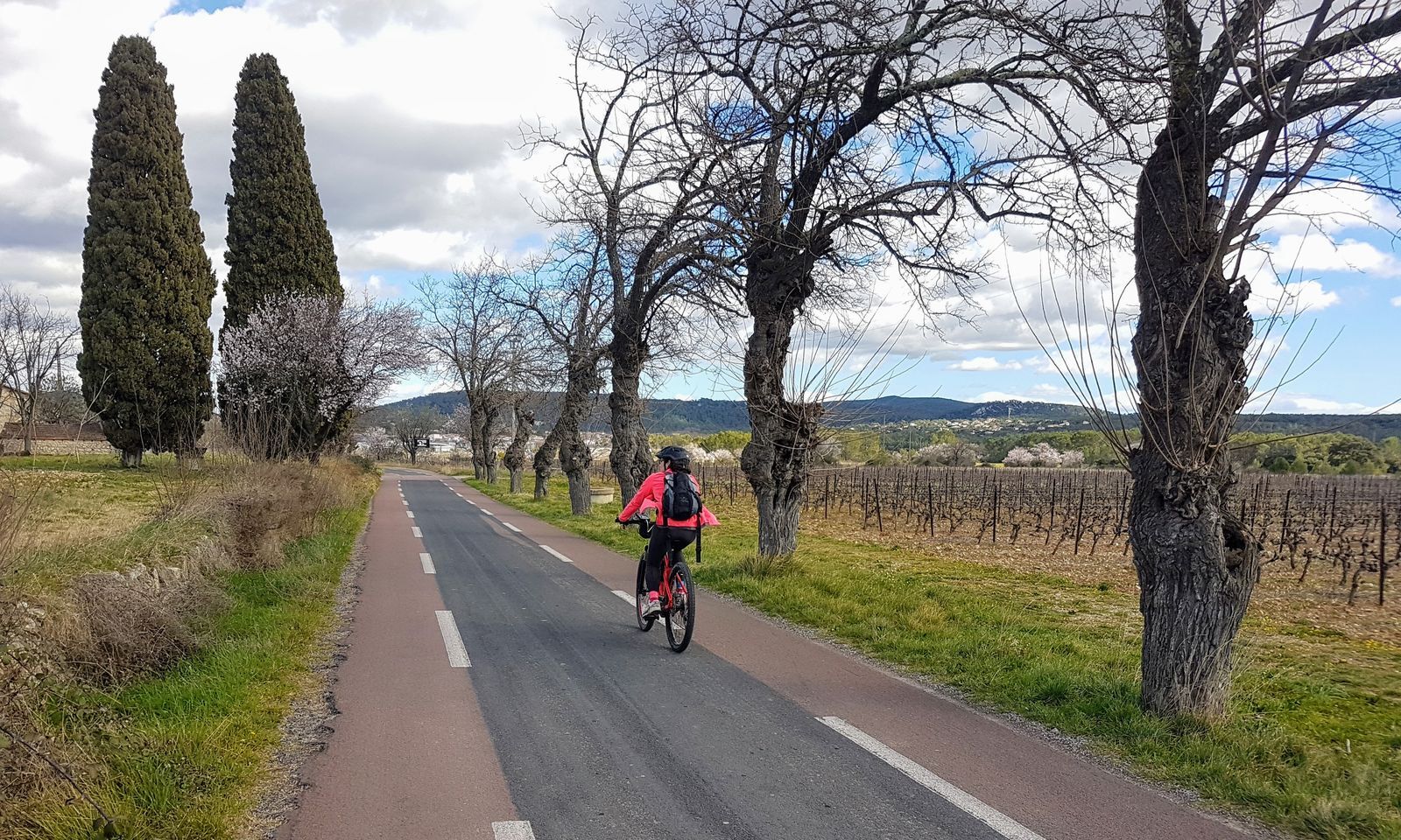
You start at the parking area near the tambourin field (a ball game linked to the region’s culture, born in the 19th century). By making a small detour into the village, you can discover the Saint-Étienne church (beautiful sculpted tympanum above the main entrance door), as well as the village walls raised in the 15th century during the Hundred Years' War. The Fabregol gate and its bell tower originally formed the main entrance to the village. Leaving the town, take the D127 to the right then a small road on the left to join the D113. If you are on a MTB, an alternative allows you near the Château de Cambous to take a path that leads to the prehistoric village of the same name, considered the oldest stone village in France: this 2 km section is very pleasant on a rocky and slightly rough path. Otherwise, continue on a fairly busy straight line to the D896 roundabout. After the roundabout, the road is calmer and very pleasant. Pic Saint-Loup appears in the background, the view is magnificent; it will serve as your guide for much of the itinerary. You travel about 3 km on a gentle slope to reach Cazevieille.
2
The small church marks the entrance to the beautiful village of Cazevieille. The area is known for its many tumuli (artificial mounds raised over a grave, dating from the Iron Age). Cazevieille is also the starting point for hikers wishing to climb Pic Saint-Loup to reach the chapel and the cross at its summit, 658 m high. Shortly after Cazevieille, the road descends towards Saint-Jean-de-Cuculles. The descent is quite steep, with two beautiful hairpin bends, arriving at vineyards set in a beautiful wild landscape. Continuing on the D113, you climb a small hill with a superb view extending south to the sea, which you can glimpse faintly in the distance. Then you descend again to Saint-Jean-de-Cuculles, which you see below on your left from the road.
3
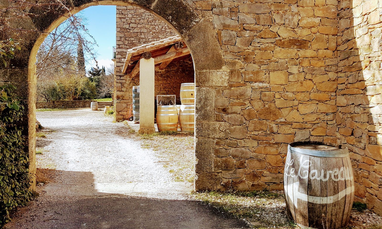
You cross Saint-Jean-de-Cuculles, a very small village housing a Romanesque church and beautiful buildings. If you're feeling fit, take a detour of a few kilometres south to see the Romanesque bridge over the Yorgues. About 1 km after the village, turn left onto rue de la Salade, a quiet shared road that passes along the vineyards and leads to Saint-Mathieu-de-Tréviers. At the village exit, just after the bridge over the Terrieu stream, you can make a short detour to visit the pretty church of Pourols, a building dating from the Carolingian period, characterized by its pastel color.
4
Leaving Saint-Mathieu-de-Tréviers, on your left you see, dominating the area and continuing from Pic Saint-Loup, the fortress of Montferrand (12th century). At the roundabout after Saint-Mathieu, take the D1, a slightly busier road that will allow you to climb to the Col de Fambétou: nothing serious but still the main difficulty of the day with about 100 m of elevation over 2.5 km. You admire, at the foot of the ascent on your right, the Hortus and its characteristic cliffs. The views are splendid. At the summit, you can clearly see the cross at the top of Pic Saint-Loup on your left. Then follows a short descent with some hairpin bends, then at the bottom take a very quiet secondary road to the right, through vineyards and horses. After 2 km, turn left and leave the D1 for a small climb to the hamlet of Biranque. Then descend to turn left and cross the Lamalou stream over an old bridge. After 3 km on Chemin de la Prairie, you arrive at Saint-Martin-de-Londres.
5
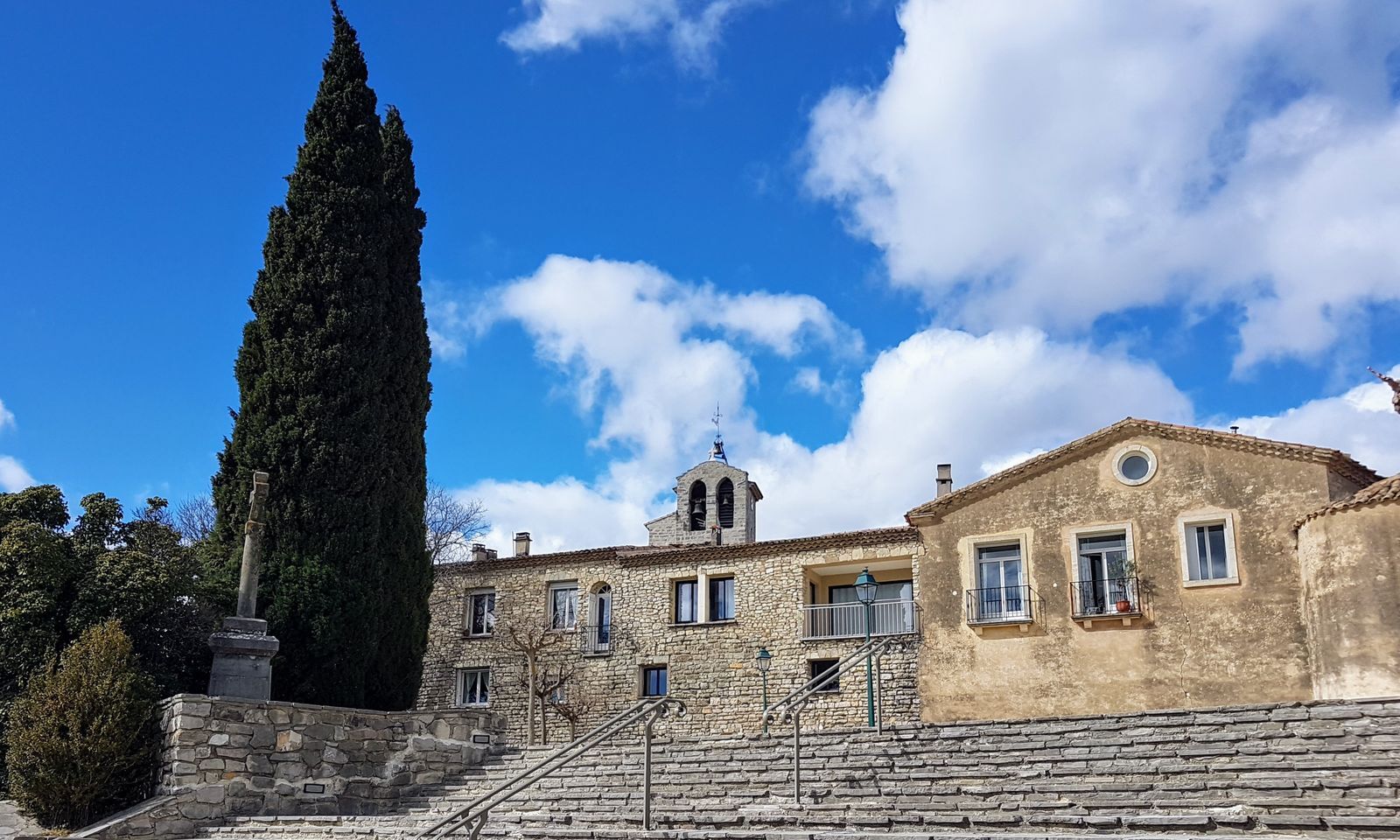
In Saint-Martin-de-Londres, the detour through the tiny alleys around the Romanesque church and medieval walls is definitely worth it, as is the break at the bottom of the village on Place des Platanes: from a café terrace or around the fountain, you can enjoy the peaceful atmosphere and admire notably the Clock Tower. It's time to close the loop with a last fairly busy road, first with a nice climb after Saint-Martin-de-Londres, then with gentle descending straights leading to the final small climb to reach the starting village: Viols-le-Fort.
Line 608 Stop Plan de l'Eglise at Viols
Line 608 Stop Plan de l'Eglise at Viols
Due to its difficulties (some relatively busy roads and a significant elevation gain), the route is reserved for moderate cyclosportives.
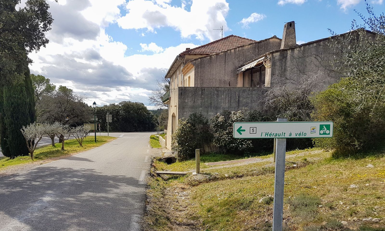
"Hérault à Vélo" road signs
+33 4 67 67 71 71
Hérault Tourism
Hérault Bike
Obľúbené výlety v okolí
-
5,0
DRAILLES HIKE
svetloTuristika 7,16 km -
4,0
PIC SAINT LOUP HIKE
strednáTuristika 2,64 km -
RAVIN DES ARCS HIKE
strednáTuristika 3,83 km -
5,0
CHARBONNIERES HIKE
svetloTuristika 5,24 km -
HIKING THE OASIS OF THE GARRIGUES
strednáTuristika 10,9 km -
HIKE OF THE CHÂTEAU DE RESTINCLIERES
svetloTuristika 7,86 km -
OENORANDO® BETWEEN GRÉS DE MONTPELLIER AND PIC SAINT-LOUP
strednáTuristika 15,0 km -
4,0
BOIS DE LÈQUE HIKE
svetloTuristika 9,34 km -
FROM MONTPELLIER TO SAINT-GUILHEM-LE-DÉSERT ON THE GR®653 ARLES WAY TO COMPOSTELA
strednáTuristika 42,7 km -
HIKING THE TOUR DES VILLAGES DU PIC - GR® DE PAYS TOURS IN GRAND PIC SAINT-LOUP
strednáTuristika 47,5 km

Turistika a stopovanie


Nenechajte si ujsť ponuky a inšpiráciu na ďalšiu dovolenku
Vaša e-mailová adresa bol pridaný do poštového zoznamu.