







FONTANARIDE HIKE

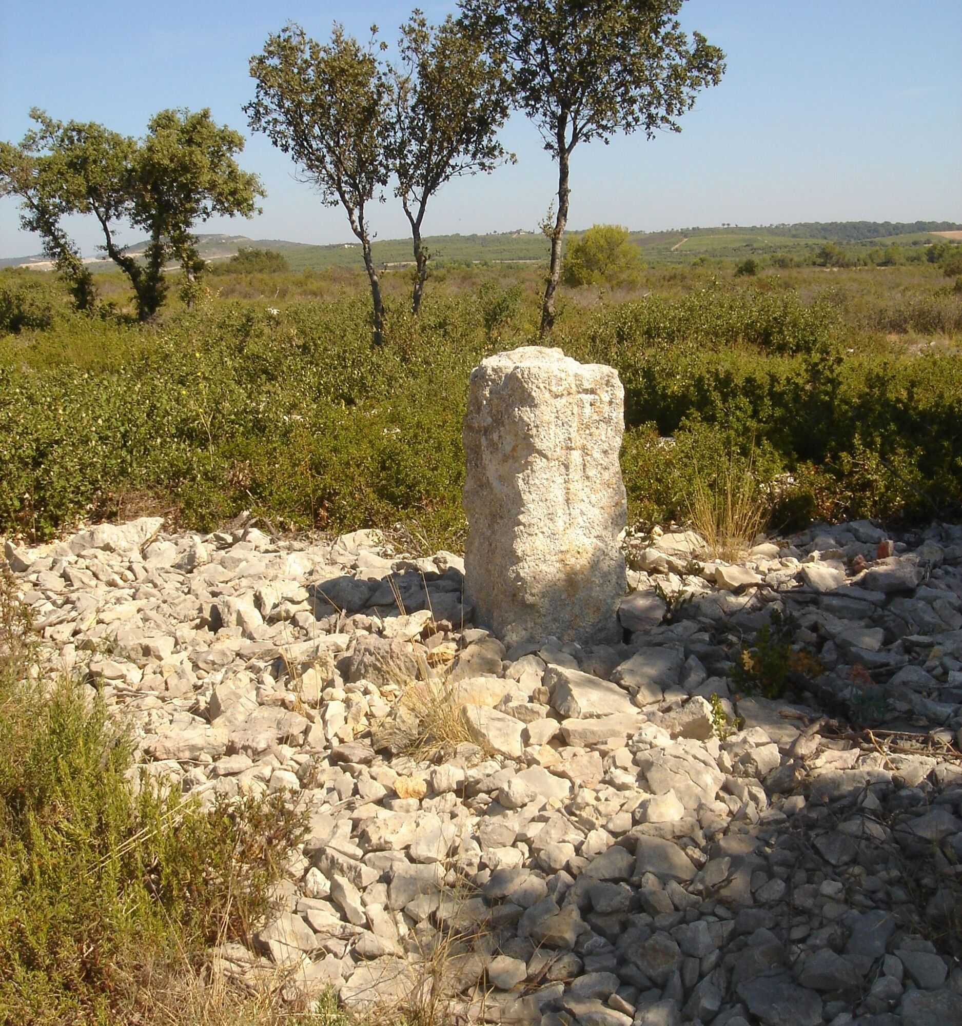
Short easy route in the scents of the garrigue, to discover a wide viewpoint, from Pic Saint-Loup to Castries castle and to the sea.


1
From the parking lot, return towards the D 145 and, without reaching it, take the small road on the left.
2
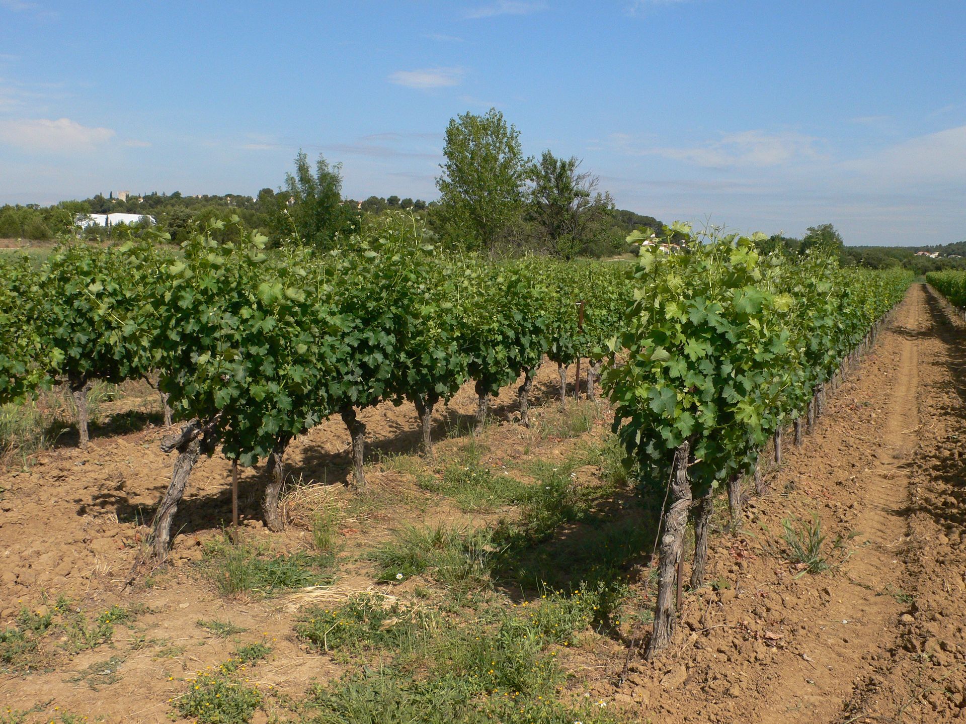
At the crossroads, take the gravel track on the left running along vineyards and pastures. At 700 m, in a sharp bend, leave the gravel track on the left that leads to the village and go right between two vineyards. Pass the vehicle turning area and continue along the path.
3
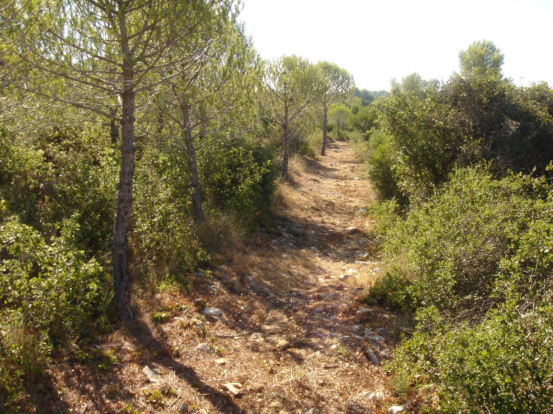
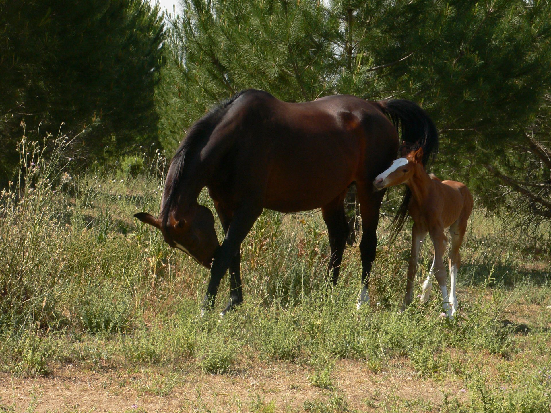
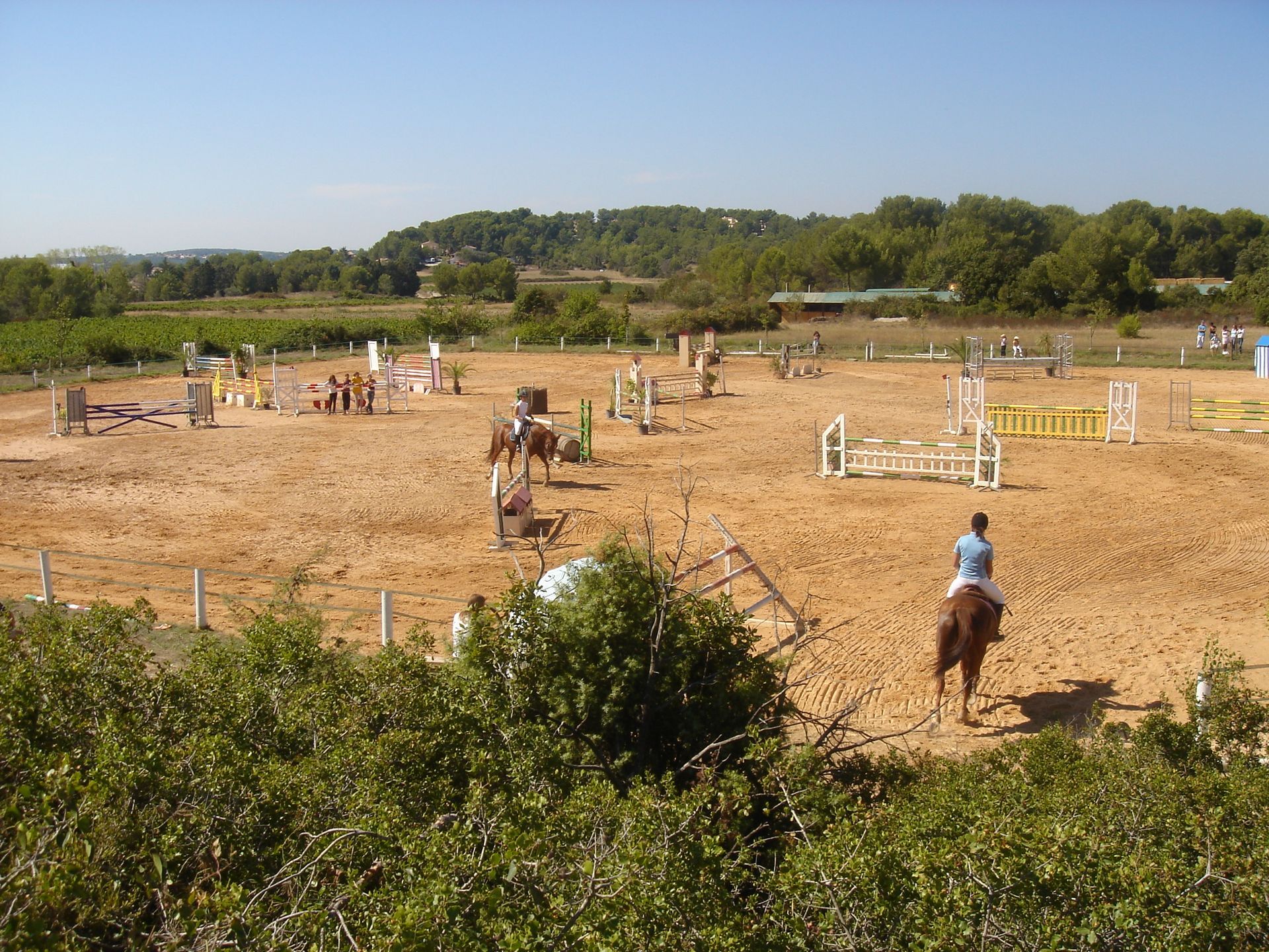
Climb right on the path along the edge of the pine forest (equestrian center on the left). Leave the path and climb the rocky track, ignore a track on the right and reach a crossroads. Take the track on the right that leads to a second crossroads (highest point).
4
Set off again on the track on the right, following the ridge line for 400 m (viewpoint on the aqueduct and Castries castle), then turn right into the plantation. Continue on the track on the right, descending gently through the pines.
5
At the crossing of four tracks, continue straight ahead on the lower track for 400 m.
6
At the intersection, descend by the path on the right and return to the outbound crossroads. Straight ahead, by the route used on the way out, return to the starting point.
In case of emergency, call 112.
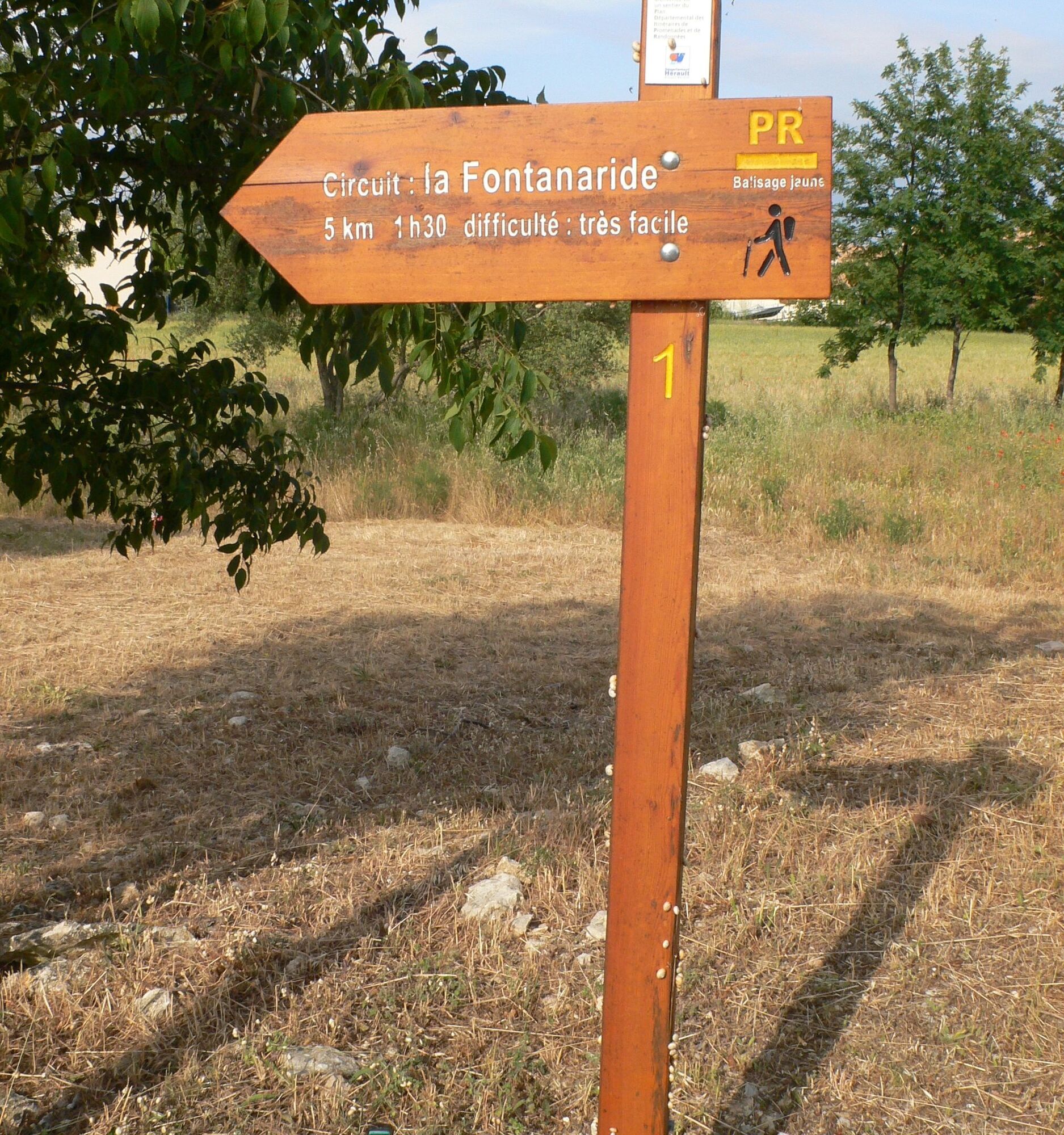
Yellow PR
https://www.grandpicsaintloup-tourisme.fr/
Grand Pic Saint-Loup Tourist Office
PDESI
Obľúbené výlety v okolí
-
4,0
PIC SAINT LOUP HIKE
strednáTuristika 2,64 km -
SENTIER DES TAMARIS HIKING TRAIL - PROTECTED NATURAL SITE OF MÉJEAN
svetloTuristika 6,30 km -
5,0
CHARBONNIERES HIKE
svetloTuristika 5,24 km -
HIKING THE CASTRIES AQUEDUCT
svetloTuristika 11,4 km -
HIKING THE OASIS OF THE GARRIGUES
strednáTuristika 10,9 km -
HIKE OF THE CHÂTEAU DE RESTINCLIERES
svetloTuristika 7,86 km -
4,0
BOIS DE LÈQUE HIKE
svetloTuristika 9,34 km -
OENORANDO® BETWEEN GRÉS DE MONTPELLIER AND PIC SAINT-LOUP
strednáTuristika 15,0 km -
LA BOUCLE DE REGANHAT HIKE
svetloTuristika 4,33 km -
OENORANDO® DES COTEAUX DE SAINT-CHRISTOL - FFRANDONNÉE® CERTIFIED
svetloTuristika 7,74 km
Turistika a stopovanie


Nenechajte si ujsť ponuky a inšpiráciu na ďalšiu dovolenku
Vaša e-mailová adresa bol pridaný do poštového zoznamu.





