


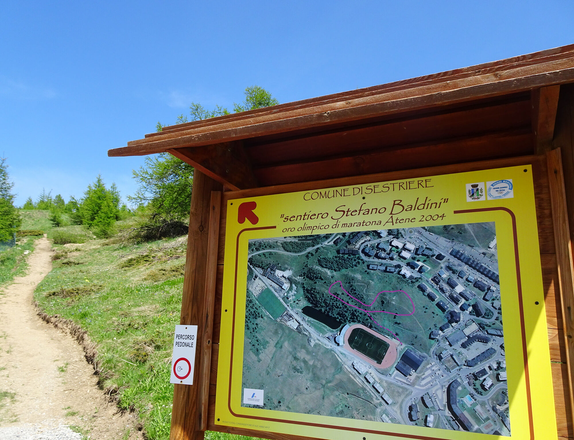
Stefano Baldini path

Loop of about 700 meters on dirt located on the small hill beside the athletics track in Sestriere.
A flat panoramic route, which oscillates along a contour line of about 2080 meters altitude.

Wear clothing and footwear suitable for the mountain environment;
Evaluate the choice of itinerary in advance using appropriate topographic maps;
Choose routes based on your technical and physical abilities and available equipment;
Consult mountain guides and nature escorts;
Check weather bulletins and free apps;
Do not undertake the hike alone or inform a trusted person of the route you intend to take.
Also remember that the indicated travel times for the various routes are average and indicative and can vary considerably depending on weather conditions and your abilities; the variability of environmental conditions may lead to a significant decrease in safety level.
In case of marked danger, it is advised not to undertake any excursion.
Highway A32 Torino-Bardonecchia, exit Oulx, follow signs for Sestriere, or reach Pinerolo and follow the Sp23R to Sestriere.
Near the Sestriere Sport Center
Always carry water, snacks, sunscreen, a hat, protective sunglasses, a trash bag, a container for cigarette butts;
keep your distance, do not try to pet or approach shepherd dogs protecting the flocks;
do not disturb wildlife and do not pick flowers or plants;
always keep your dog on a leash;
do not litter, carry your trash with you, and if necessary collect trash left by others;
respect private property and restricted areas.
Obľúbené výlety v okolí
-
5,0
SESTRIERE Monte Rognosa
ťažkéTuristika 6,42 km -
BARDONECCHIA - Loop Colle della Scala - Col de Montgenèvre - Colle del Sestriere
ťažkéCestný bicykel 91,9 km -
5,0
CESANA T.SE Thures - Cima Bosco
ťažkéSnežnice 3,94 km -
5,0
CESANA T.SE Cesana - Fenils
svetloTuristika 4,60 km -
CESANA T.SE Lago Nero - Seven Colors Lake
strednáTuristika 3,51 km -
SAUZE D'OULX Richardette - Montagne Seu )
strednáMountainbike 19,9 km -
OULX Borgata Seu (Gran Bosco Natural Park)
svetloSnežnice 5,93 km -
PRAGELATO Colle dell'Assietta
ťažkéMountainbike 53,3 km -
CESANA T.SE Val Thuras
strednáTuristika 7,58 km -
CESANA T.SE The Lakes Route
strednáTuristika 10,2 km
Turistika a stopovanie


Nenechajte si ujsť ponuky a inšpiráciu na ďalšiu dovolenku
Vaša e-mailová adresa bol pridaný do poštového zoznamu.