







Rete Natura 2000 - Capanne di Marcarolo Stage 2

From Ponte Nespolo, at the ford of the River Gorzente, continue for about 300 m along the provincial road in the direction of Capanne di Marcarolo. At the information board and the indicator pole take...
From Ponte Nespolo, at the ford of the River Gorzente, continue for about 300 m along the provincial road in the direction of Capanne di Marcarolo. At the information board and the indicator pole take the trail that detaches to the left and, on flat ground, climbs back up the orographic left side of the Gorzente. In a short time, we reach theMulino stream shortly before it meets the Gorzente; the flow rate is generally so
low not to create problems in the crossing. The itinerary continues without the possibility of error along the trail that goes along the Gorzente, passing beyond the junction from which the itinerary that climbs to Cascina Preaduga and to Mount Tobbio detaches itself.In the last section, slightly uphill, we are now in sight of the dam of Lake Bruno (660 m) which is reached by walking along the remains of ancient constructions and passing the lateral drainage of the lake waters, which operates only in the case of heavy rainfall. You remain on the orographic left side of the dam (indicator pole) and continue, after having gone around a small promontory, to the lake drainage walkway. After having passed it, the trail rises slightly until we reach a pulpit above Lake Bruno and a crossing of trails (indicator pole).The itinerary continues on the trail to the right, in the direction of Capanne di Marcarolo (the itinerary of the left takes to Capanne Superiori di Marcarolo), mostly on flat ground and surrounded by rather sparse vegetation, to reach the remains of Cascina Arbghi (650 m), immersed instead in a forest of beech and oak. At this point a wide forest track detaches itself which, after a rather sharp climb, continues along the north side of Costa Lavezzara, alternating modest ups and downs, sections in the woods and open and panoramic sections. The forest path should be walked as far as an area called I Fi, at the point in which it meets the provincial road (SP) 165, which leads in a few minutes to the village of Capanne di Marcarolo.

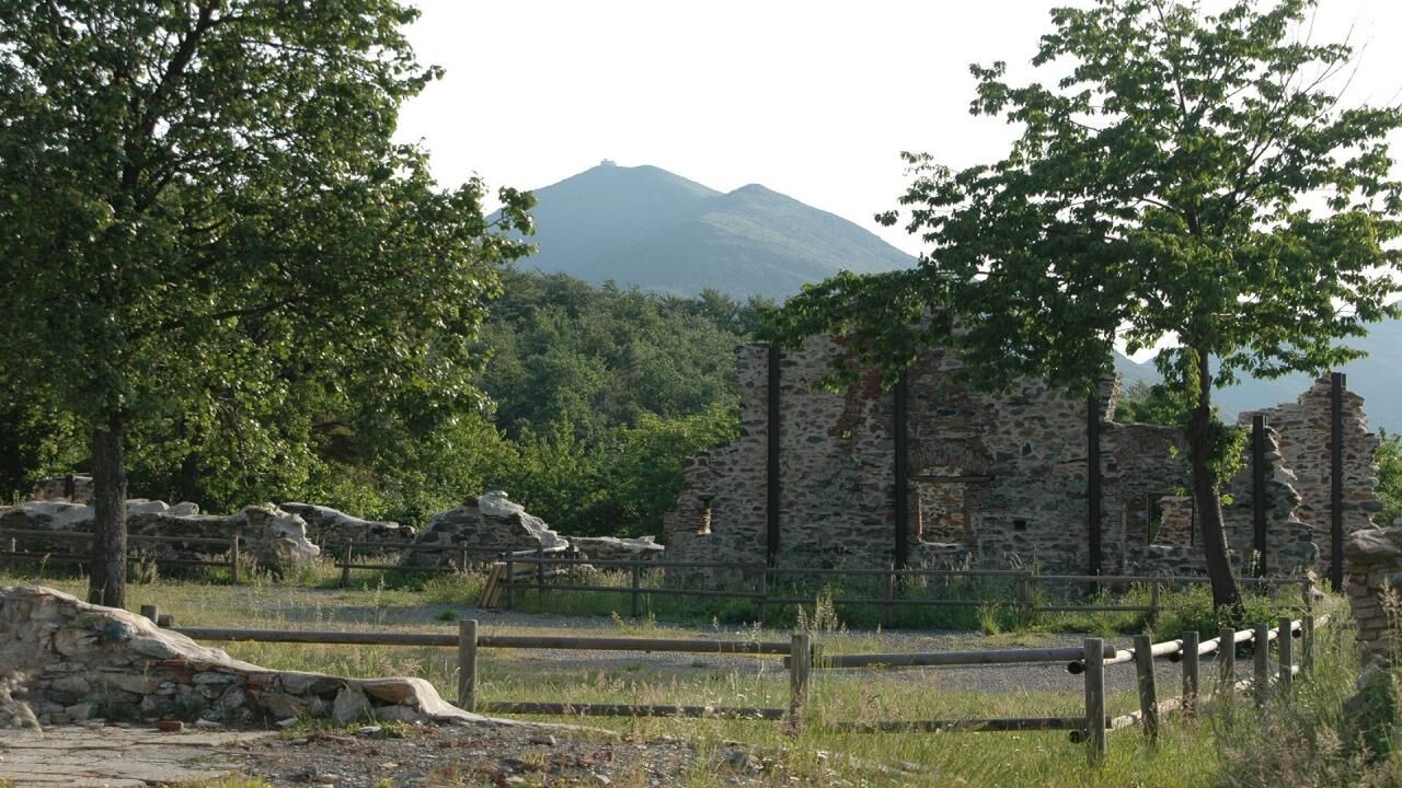

The second stage begins in the Ponte Nespolo area, near the Gorzente stream: proceed for about 300 m along the SP165 towards Capanne di Marcarolo and at the information board follow path 406 to Lago Bruno. The path goes up the Gorzente on the left hydrographic side, following its tortuous course which alternates pools of clear water, small waterfalls and real natural lakes. The rocks at the bottom give the water an attractive green colour, which invites you to stop for a swim or, if the season is not suitable, to observe the aquatic fauna. You soon reach the Rio del Mulino, which must be crossed carefully, and you reach, after passing a spring, the locality of Pian di Remo, a flat clearing which includes a wetland delimited by a fence. Here in spring it is possible to admire the blooms of the poets' daffodil (Narcissus poeticus) and the marsh gladiolus (Gladiolus palustris), species particularly protected by the Piedmont Region. Continue along the route, sometimes staying a few meters from the stream: on the opposite bank the watersheds of the Rio Vergone and Rio Preaduga come to feed its flow. After passing the crossroads from which the connection to the Preaduga farmhouse and Monte Tobbio comes off, you proceed along the last bends of the stream and reach, now slightly uphill, the remains of ancient buildings, now near the lake's dam . Once past the ruins, a point dug between rocky walls corresponds to the lateral discharge of the lake. For most of the year it is an easy passage without running water, however after heavy rains or in any case in case of high discharge flow, the ford is strongly discouraged. It is instead advisable to use the path variant, indicated with a warning panel and trail sign, which goes up the slope above the ruins and connects directly with path 408. Lake Lavezze, later called Bruno in honor of the engineer who designed and carried out the works Nicolò Bruno, is part of the complex called "The lakes of Gorzente", which also includes Lake Badana and Lake Lungo and which was built starting in 1881 to contribute to the water supply of the city of Genoa. Subsequently, hydroelectric exploitation of the accumulated water was added, with the construction of still functioning power plants. Once you reach the dam, the itinerary does not include crossing it and continues on the right, along path 410 towards Capanne di Marcarolo. After passing the metal walkway and reaching the pulpit on the lake, continue along path 408, mostly flat and surrounded by rather sparse vegetation, until you reach the beech and oak forest in which the ruins of the Cascina Arbéghi are immersed (650m). From here a wide forest track branches off, which after a steep climb continues along the northern side of Costa Lavezzara, alternating modest ups and downs, stretches in the woods and open, panoramic stretches. The forest track must be followed up to the I Fòi (I Faggi) locality, where you meet the "Cascina I Fòi" hiking refuge stop point. Turning left, the SP 165 leads in a few minutes to the town of Capanne di Marcarolo.
The use of trekking boots - fleece and rain cape is recommended
Nothing to report
Nothing to report

Obľúbené výlety v okolí
-
5,0
GE_25 The Guidovia della Guardia
Turistika 6,64 km -
5,0
Genova, giro dei forti
svetloTuristika 11,0 km -
Libarna and Alto Monferrato by bike
ťažkéMountainbike 47,8 km -
DH Apparizione – Livellato lines
strednáMountainbike 12,2 km -
Forte Diamante: anello da Ponte Sifone Vielino (Genova, Liguria)
strednáTuristika 14,5 km -
Punta Martin - Pegli
strednáTuristika 18,8 km -
IL GRANDE CAMMINO DEL MONFERRATO - 10°TAPPA: OVADA - MORNESE
strednáPútnická trasa 19,2 km -
IL GRANDE CAMMINO DEL MONFERRATO - 11°TAPPA: MORNESE - GAVI
strednáPútnická trasa 18,2 km -
Gazzo Tour
strednáMountainbike 22,1 km -
Trail no. 22: Passo del Turchino - Colla di Praglia
Turistika 11,1 km
Turistika a stopovanie


Nenechajte si ujsť ponuky a inšpiráciu na ďalšiu dovolenku
Vaša e-mailová adresa bol pridaný do poštového zoznamu.





