






FFC MTB circuit no. 15: The Haut Plan loop
All outdoor activities of the Nice Côte d'Azur Metropolis are on https://outdoor.nicecotedazur.org

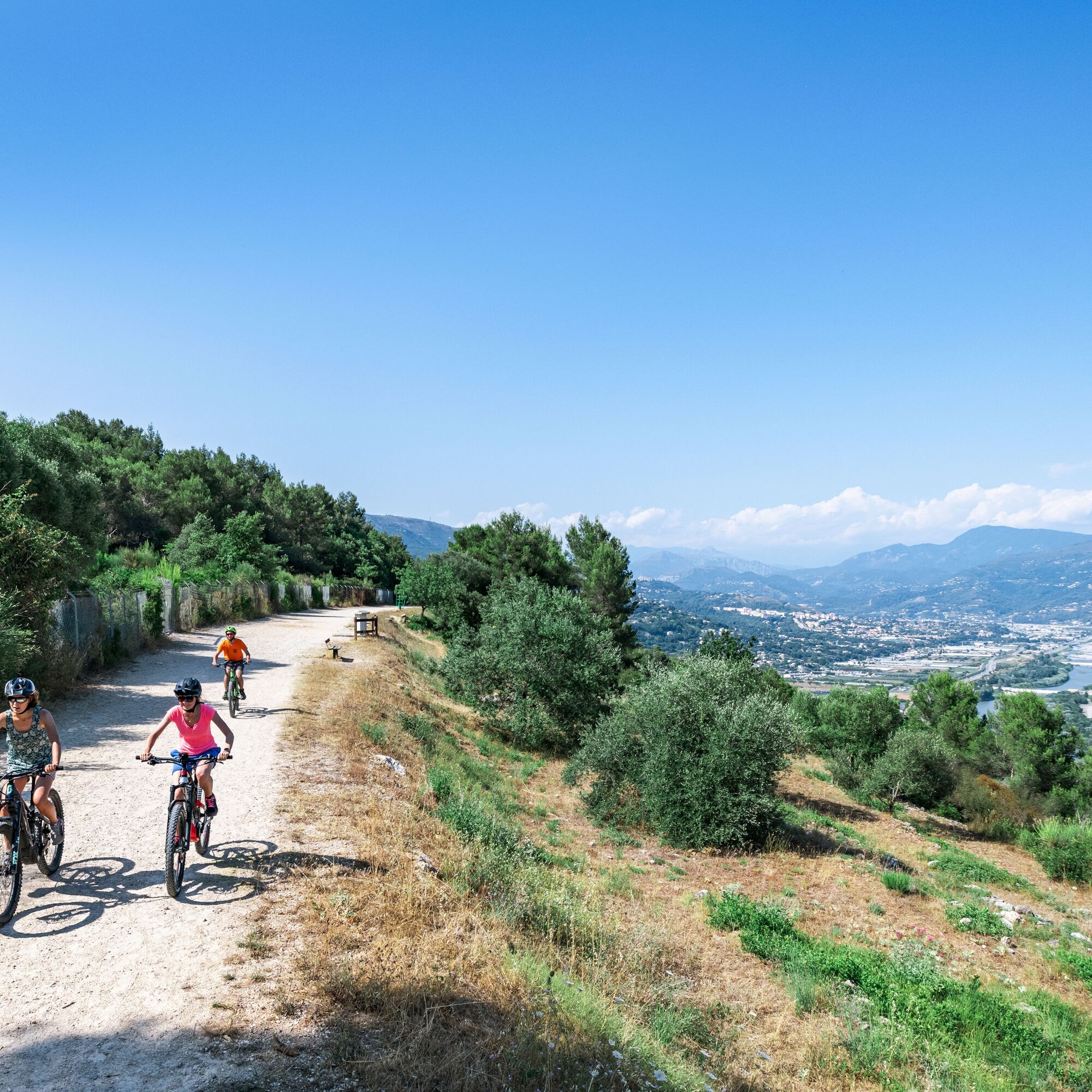
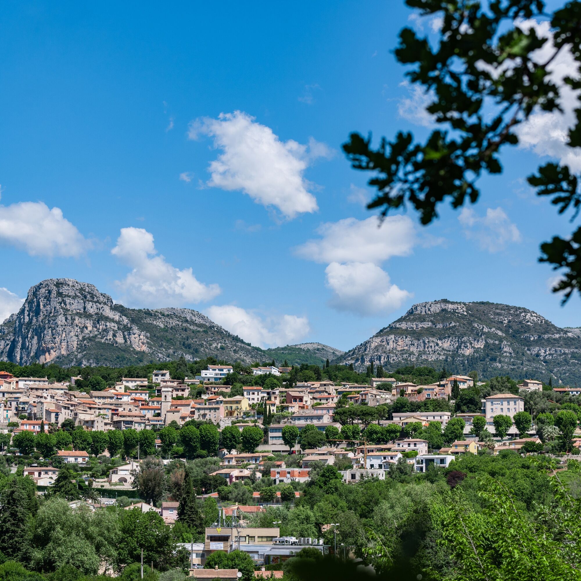
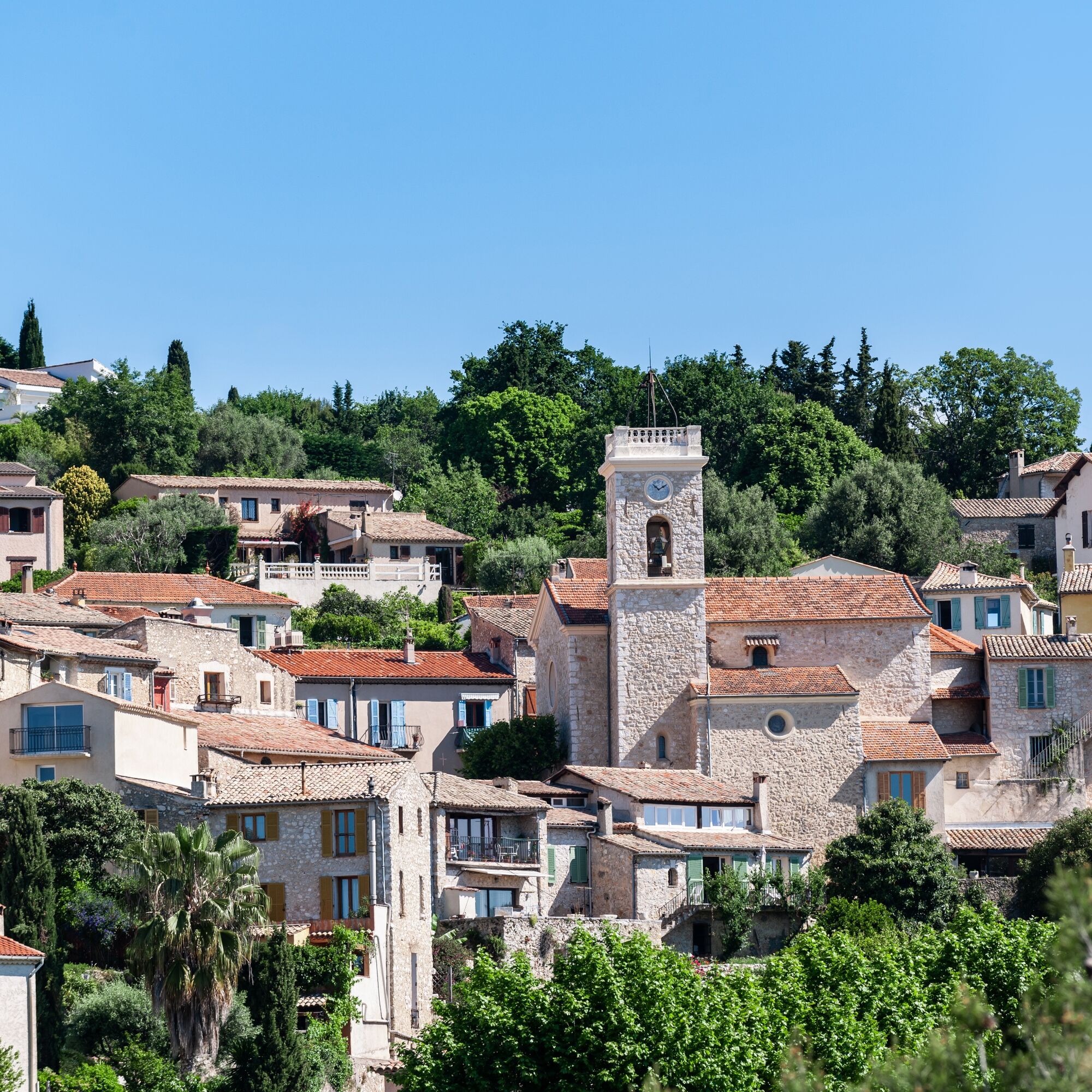

The start is at the stadium parking lot. Head towards the recycling center and continue on the track overlooking the Var valley and running alongside the former IBM research site. From here, you have very beautiful views over the Var plain. The route continues towards the Vallons district via a path. The village of Saint-Jeannet then unfolds. The route follows the Trigands valley, crosses a small stream and climbs towards the "plan du bois" district by a track. The return is via the track overlooking the Var plain.
Áno
Wear a helmet, bring protective gear and repair accessories.
Watch the weather: Mountain weather changes quickly, bring warm clothes.
Follow marked trails, do not take shortcuts and respect the trail directions.
Before starting a route, check that it matches your level, inspect your MTB’s condition, and leave your route details with someone.
Be cautious, courteous, and slow down when overtaking other users.
Be extra careful during hunting season and inquire about ongoing hunting activities.
If you encounter livestock guardian dogs (patous), dismount, avoid sudden movements and go around the herd.
Respect private property and cultivated areas, and close gates behind you.
Adopt an eco-friendly behavior: take your trash with you and respect wildlife and plants to preserve nature.
Always carry the IGN map corresponding to the route concerned.
Located north of St-Laurent du Var, La Gaude is accessible by car, about twenty minutes from Nice Côte d'Azur airport.
Access by public transport:
The Lignes d’azur network offers a single fare for the entire Nice Côte d’Azur Metropolis. Validation is mandatory each time you board the bus regardless of the ticket used. To view all fares, click here: www.lignesdazur.com
Free parking on the Saint Laurent road, next to the football stadium and the recycling center.
Obľúbené výlety v okolí
-
4,8
Tour du Cap-Ferrat
strednáTuristika 8,99 km -
Little hike in Nice: the Mont Boron route
svetloTuristika 5,13 km -
Nice - Aspremont / Pagarine Route (stage 1)
strednáTuristika 15,8 km -
4,0
Little hike in Aspremont: Mont Chauve circuit
svetloTuristika 6,49 km -
Grande Randonnée® de Pays: Lou Camin Nissart
ťažkédiaľková pešia trasa 44,7 km -
FFC bike circuit no. 5: on the Tour De France routes (big loop)
strednáCestný bicykel 74,2 km -
5,0
Goldtoni - Alpenbogen A082 Drap-Nizza
svetlodiaľková pešia trasa 26,4 km -
FFC bike circuit no. 8: the 70.3 circuit (Half IRONMAN)
strednáCestný bicykel 92,8 km -
FFC bike route no. 7: Tour of Vence
svetloCestný bicykel 57,7 km -
FFC cycle route no. 1: Tour of Cap Ferrat
svetloCestný bicykel 20,4 km
Turistika a stopovanie


Nenechajte si ujsť ponuky a inšpiráciu na ďalšiu dovolenku
Vaša e-mailová adresa bol pridaný do poštového zoznamu.





