


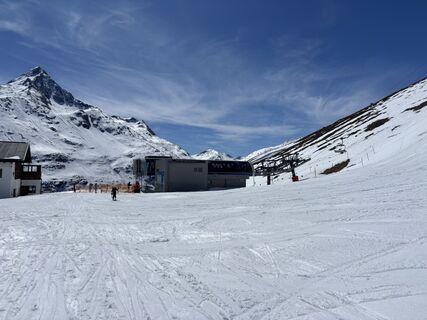
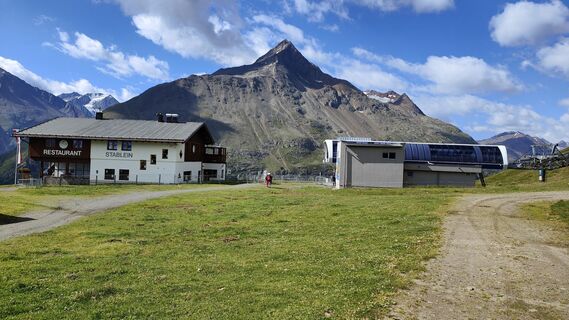
Sölden - Breslauer Hütte
Fotografie našich používateľov
-

 © Peter NinauszVytvorené dňa 08.04.2026
 -
 © Peter NinauszVytvorené dňa 08.04.2026
 -
 © Peter NinauszVytvorené dňa 08.04.2026
 -
 © Peter NinauszVytvorené dňa 08.04.2026
 -
 © Peter NinauszVytvorené dňa 08.04.2026
 -
 © Peter NinauszVytvorené dňa 08.04.2026
 -

 © Agnieszka ScholzVytvorené dňa 02.03.2026
 -

 © Michael FreudenreichVytvorené dňa 01.02.2026
 -
 © Sabrina HackelVytvorené dňa 20.09.2025
 -
 © okidoki1980Vytvorené dňa 09.08.2025
 -
 © okidoki1980Vytvorené dňa 09.08.2025
 -
 © okidoki1980Vytvorené dňa 09.08.2025
 -
 © okidoki1980Vytvorené dňa 09.08.2025
 -
 © okidoki1980Vytvorené dňa 09.08.2025
 -
 © okidoki1980Vytvorené dňa 09.08.2025
 -
 © okidoki1980Vytvorené dňa 09.08.2025
 -
 © okidoki1980Vytvorené dňa 09.08.2025
 -
 © okidoki1980Vytvorené dňa 09.08.2025
 -
 © Jonas KaufmannVytvorené dňa 31.07.2025
 -

 © Marion FalknerVytvorené dňa 22.03.2025
 -
 © Marion FalknerVytvorené dňa 22.03.2025
 -
 © Marion FalknerVytvorené dňa 22.03.2025
 -
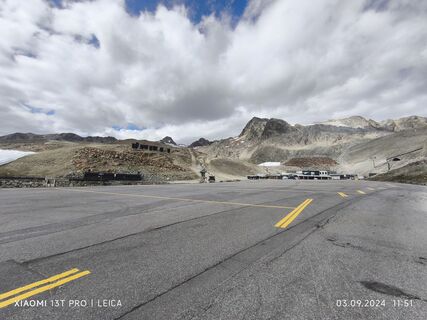
 © Karl-HeinzVytvorené dňa 03.09.2024
 -
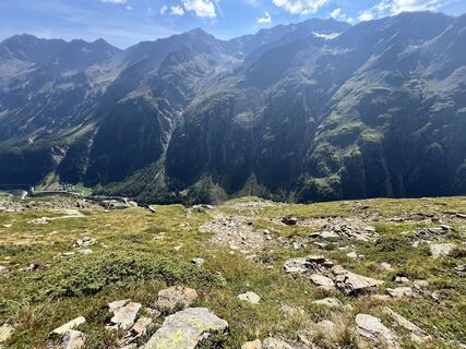
 © Elli RieckVytvorené dňa 30.08.2024
 -
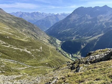 © Elli RieckVytvorené dňa 30.08.2024
 -
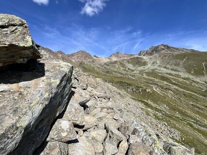 © Elli RieckVytvorené dňa 30.08.2024
 -
 © Elli RieckVytvorené dňa 30.08.2024
 -
 © Elli RieckVytvorené dňa 30.08.2024
 -

 © Andreas SchlosserVytvorené dňa 20.07.2023
 -
 © Andreas SchlosserVytvorené dňa 20.07.2023
 -
 © Andreas SchlosserVytvorené dňa 20.07.2023


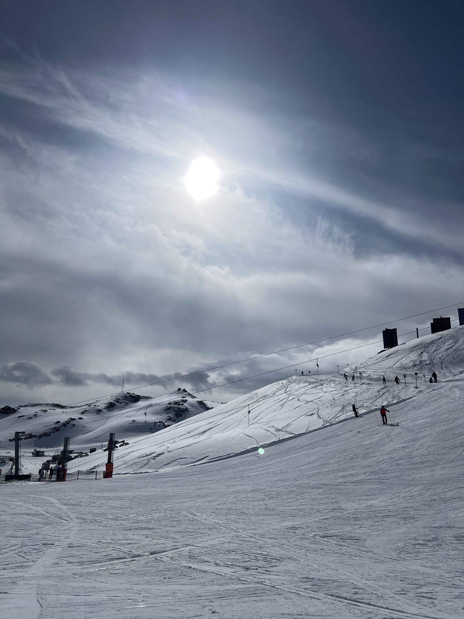

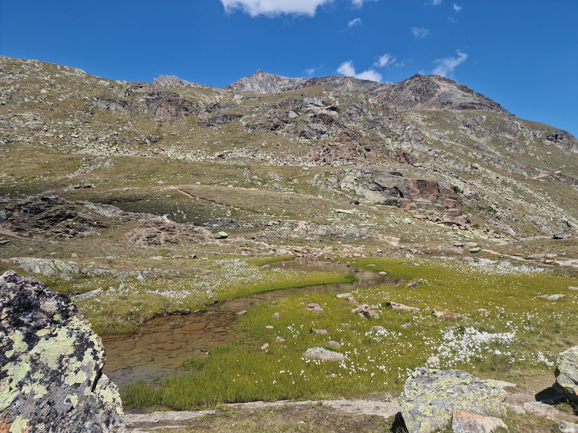
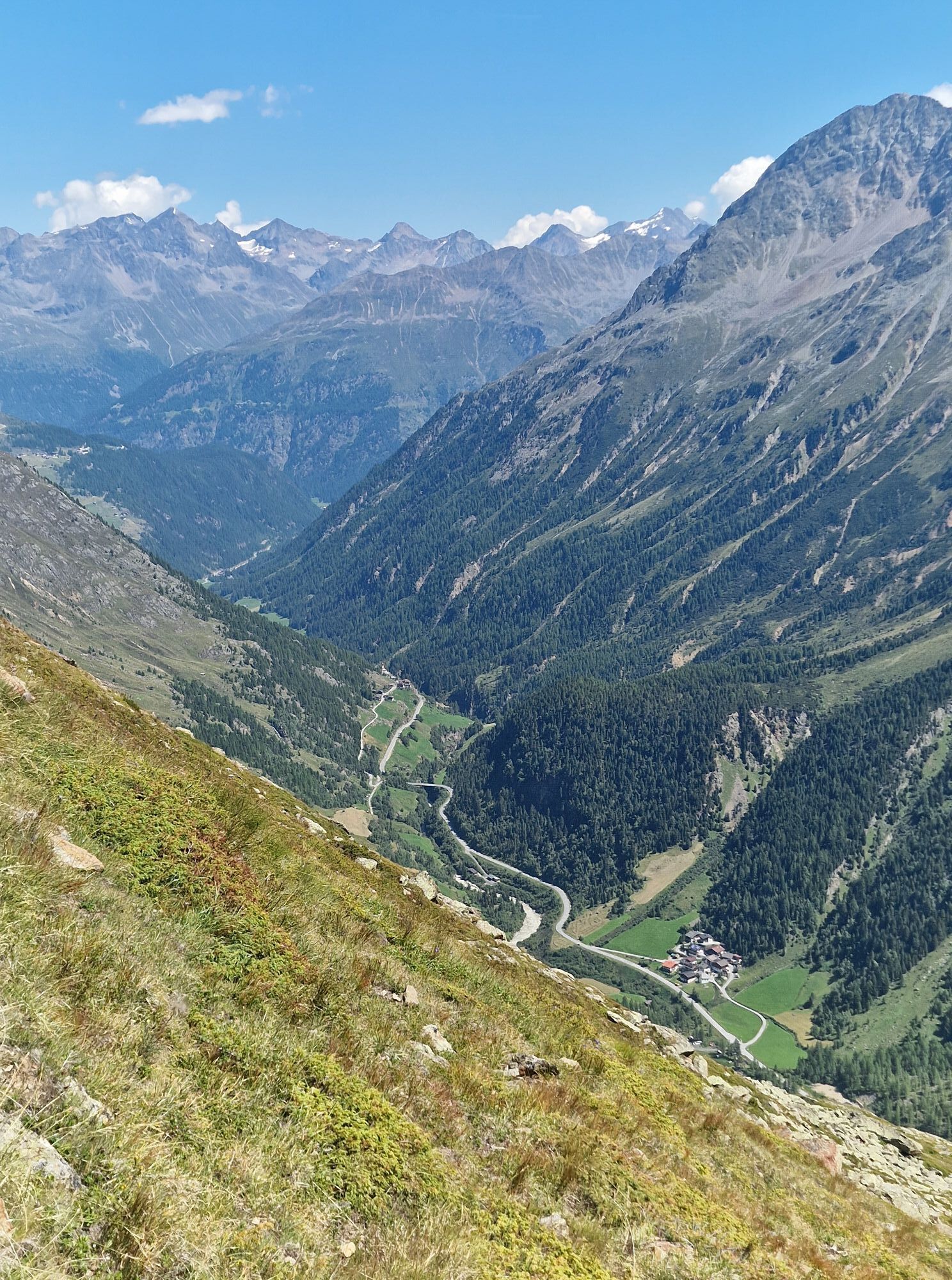


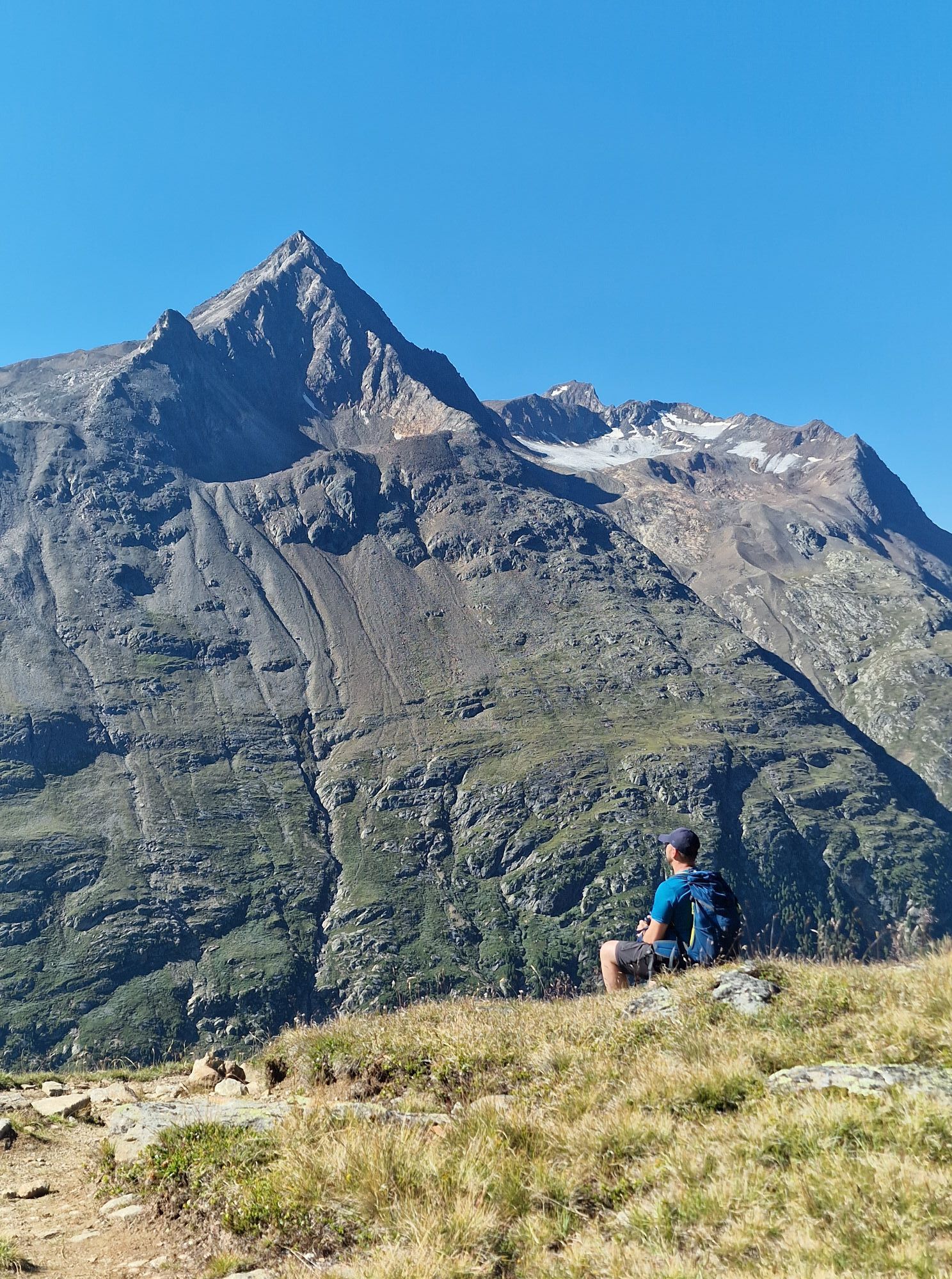


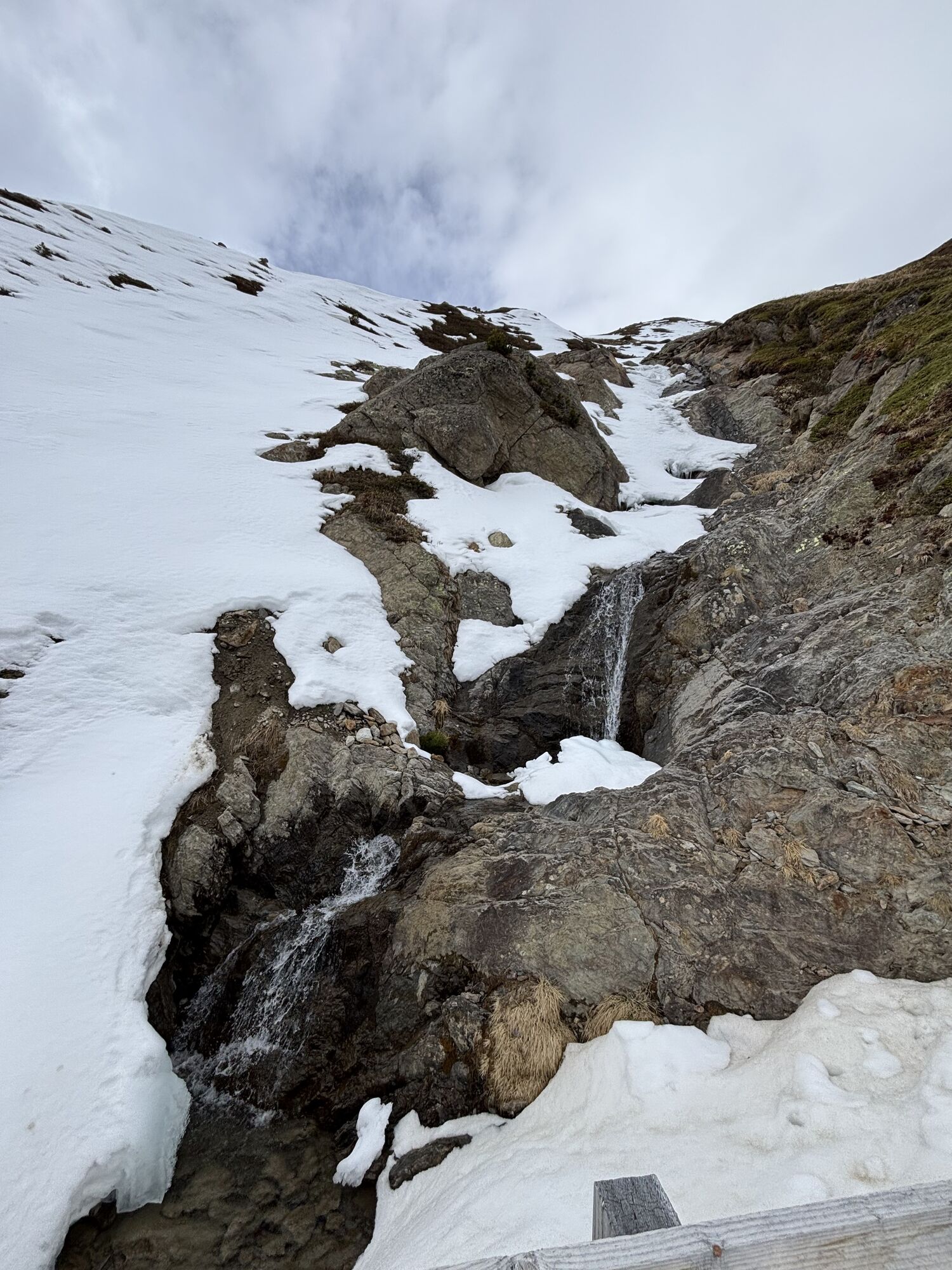
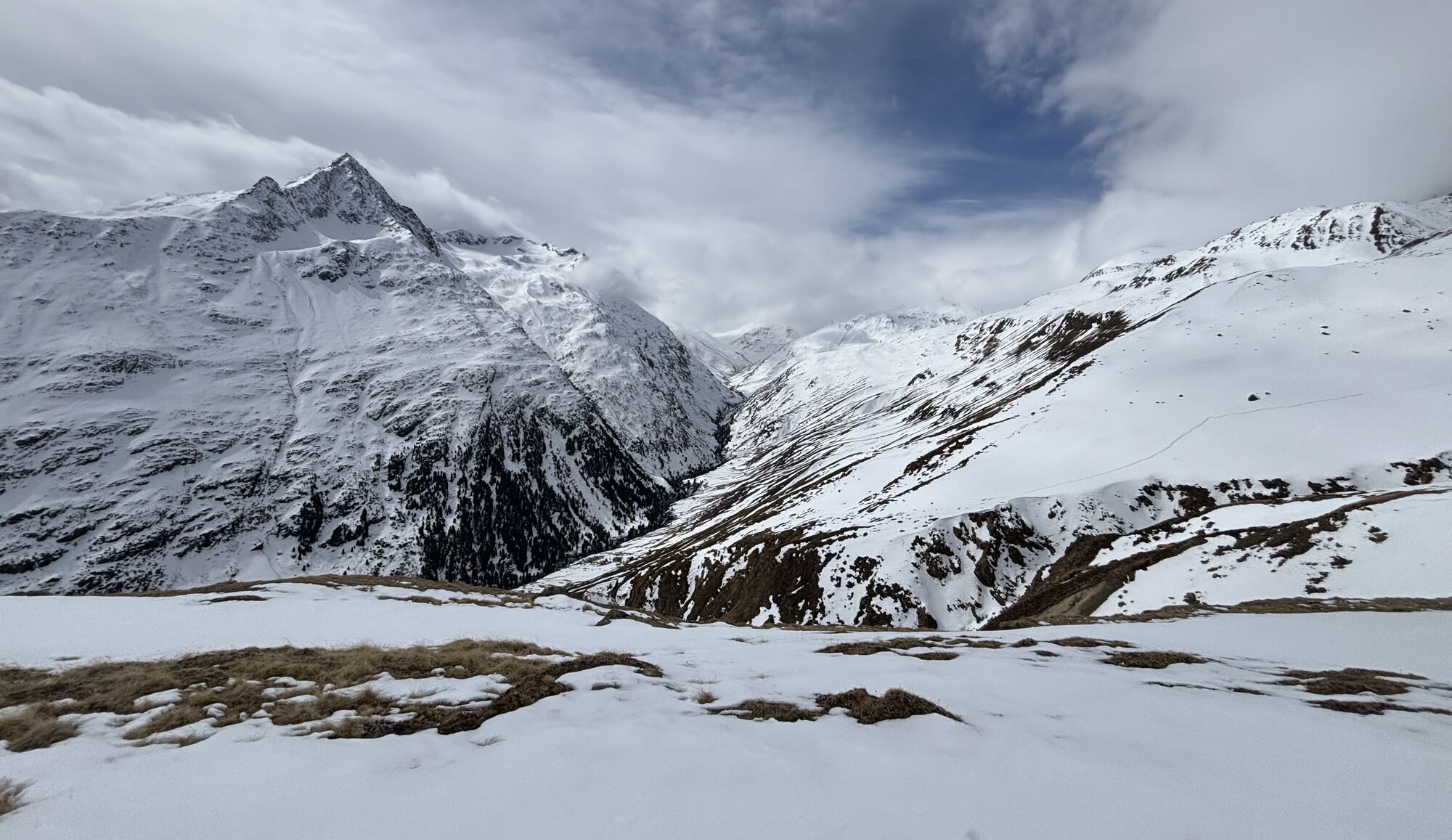
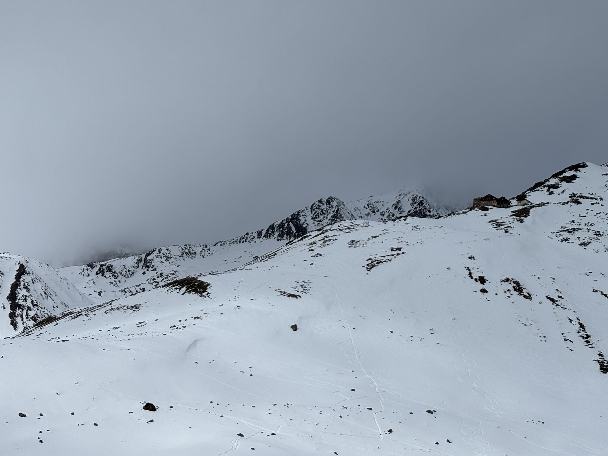


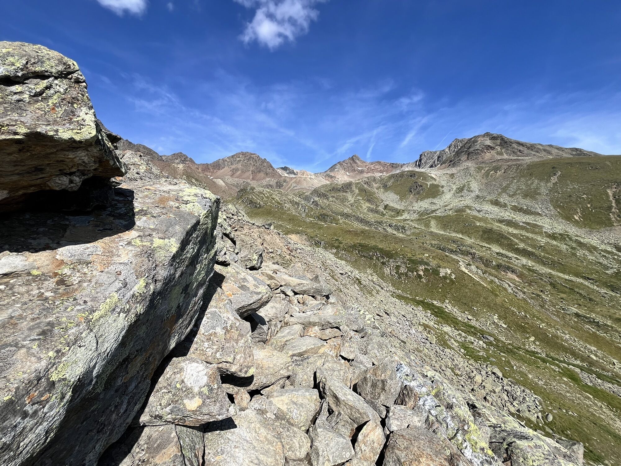
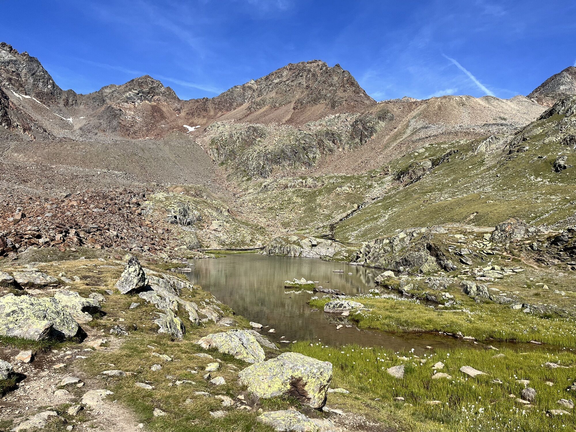
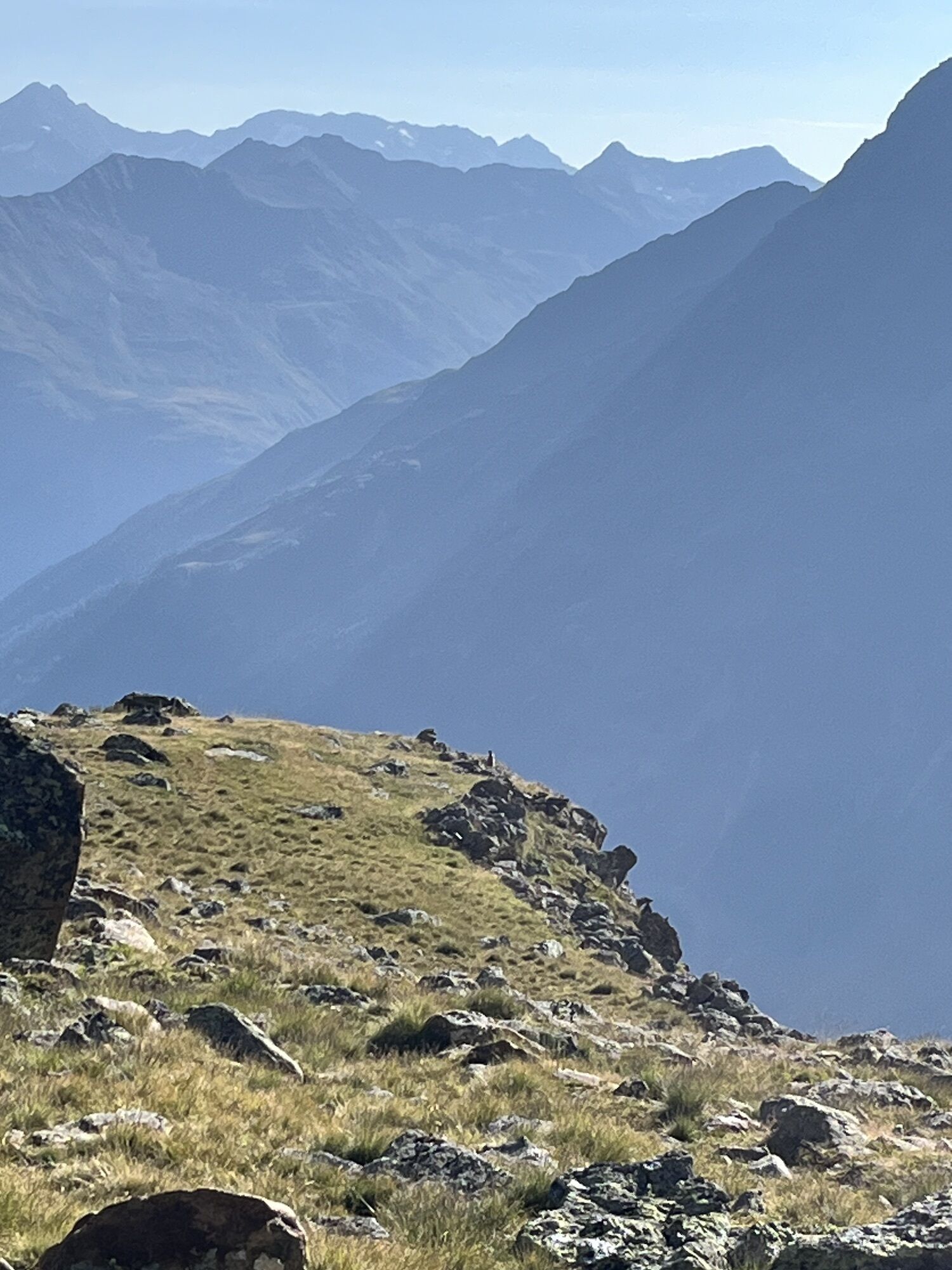

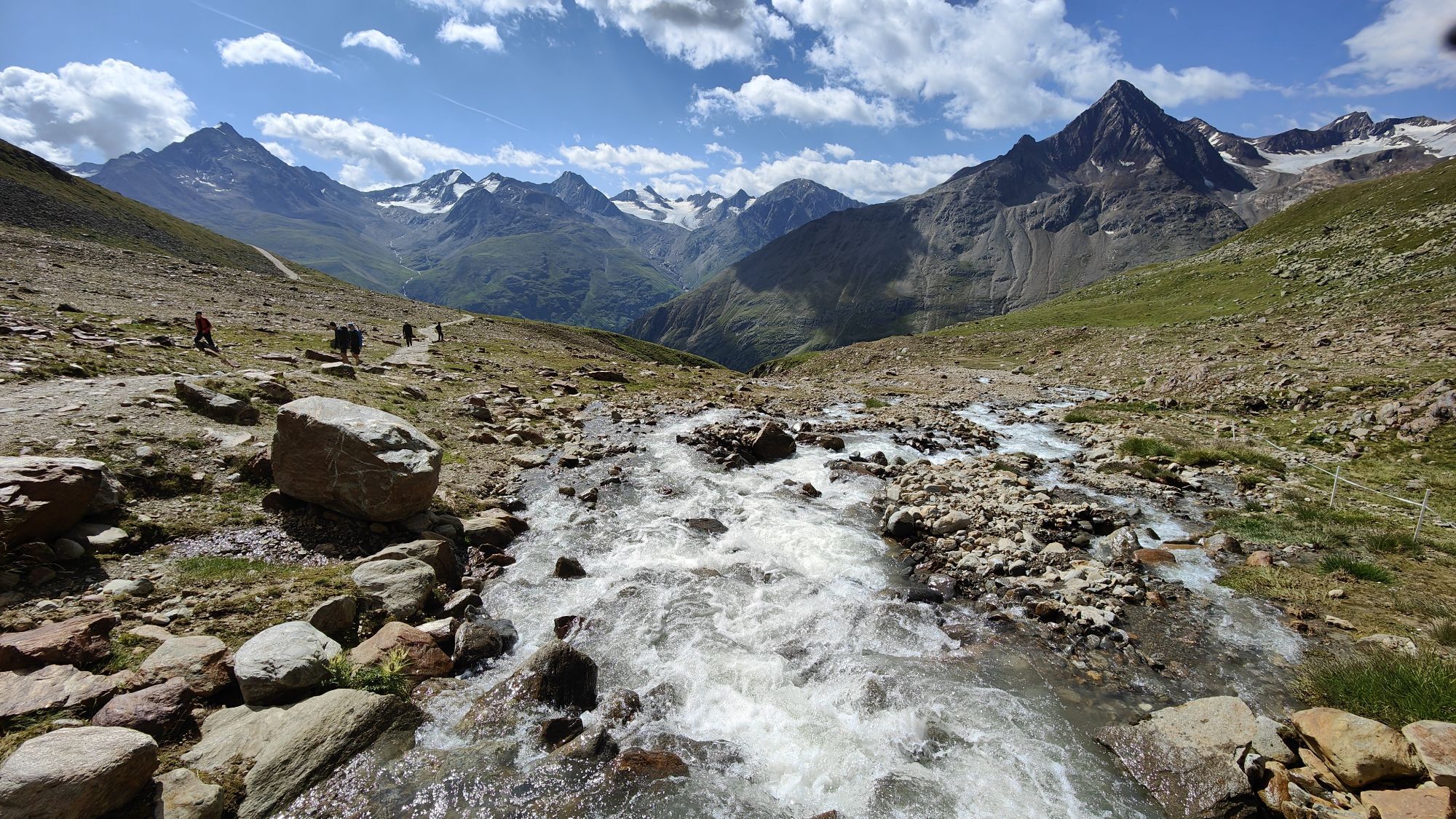
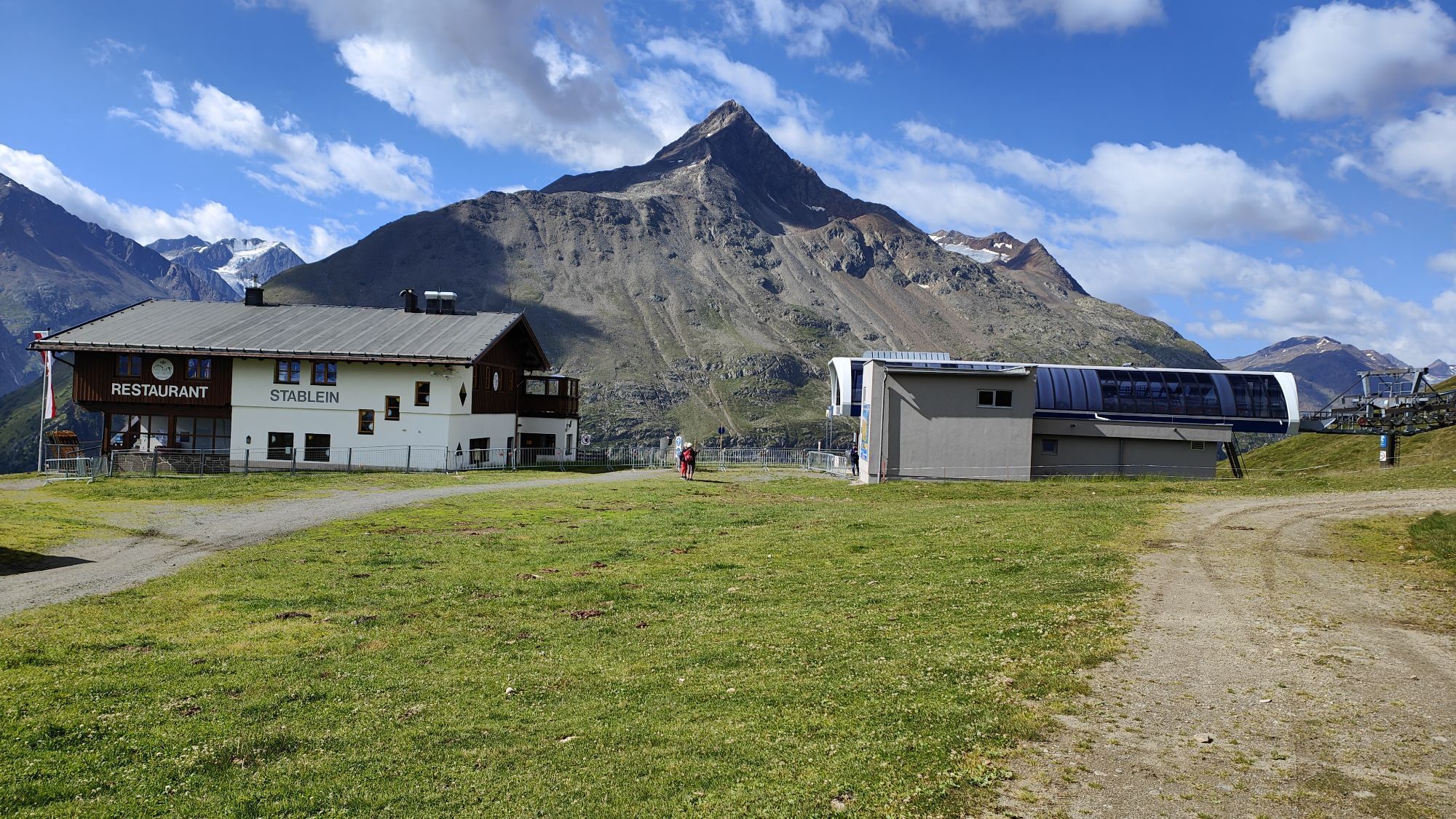
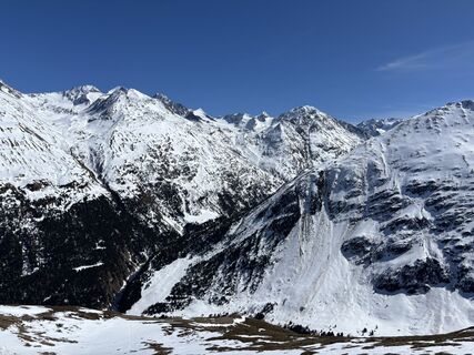
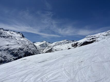
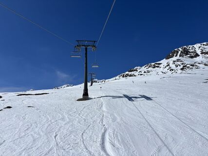
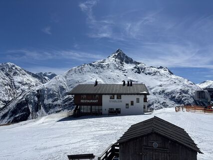
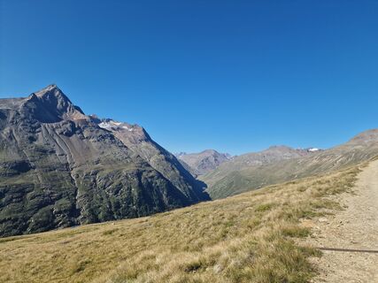
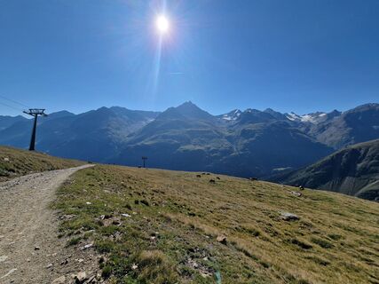
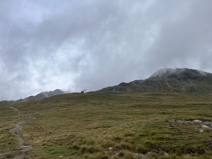
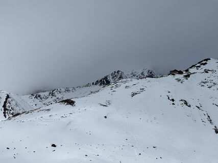
Sölden (1.68 m) - Restaurant Tiefenbach (bus ride) (2.789 m) - Breslauer Hut (2.844 m)
Bus ride from Sölden to Tiefenbach glacier - the trail travels above the Venter Tal valley and climbs moderately up...
Bus ride from Sölden to Tiefenbach glacier - the trail travels above the Venter Tal valley and climbs moderately up to Stableinalm hut and (partly steep) on to Breslauer hut.

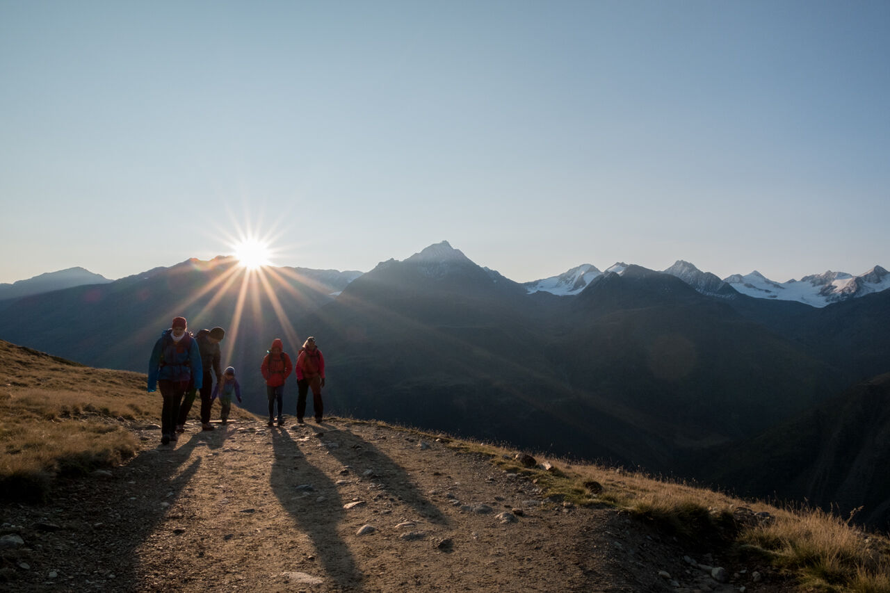
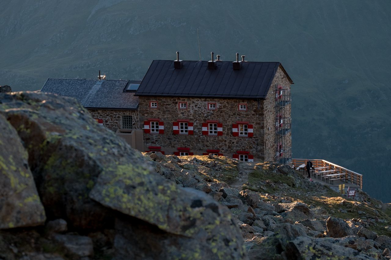
Bus ride from Sölden to Tiefenbach glacier - the trail travels above the Venter Tal valley and climbs moderately up to Stableinalm hut and (partly steep) on to Breslauer hut.
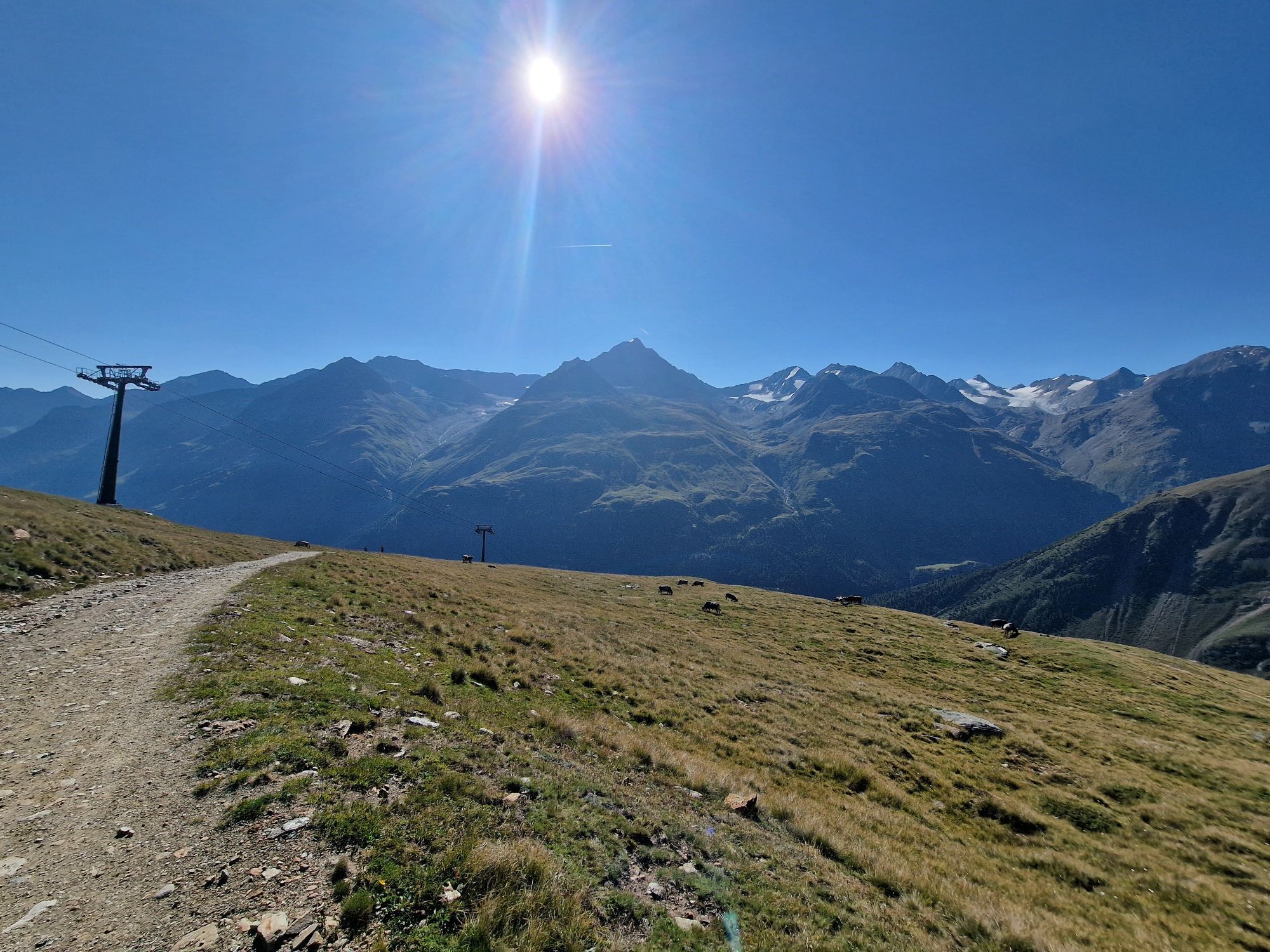
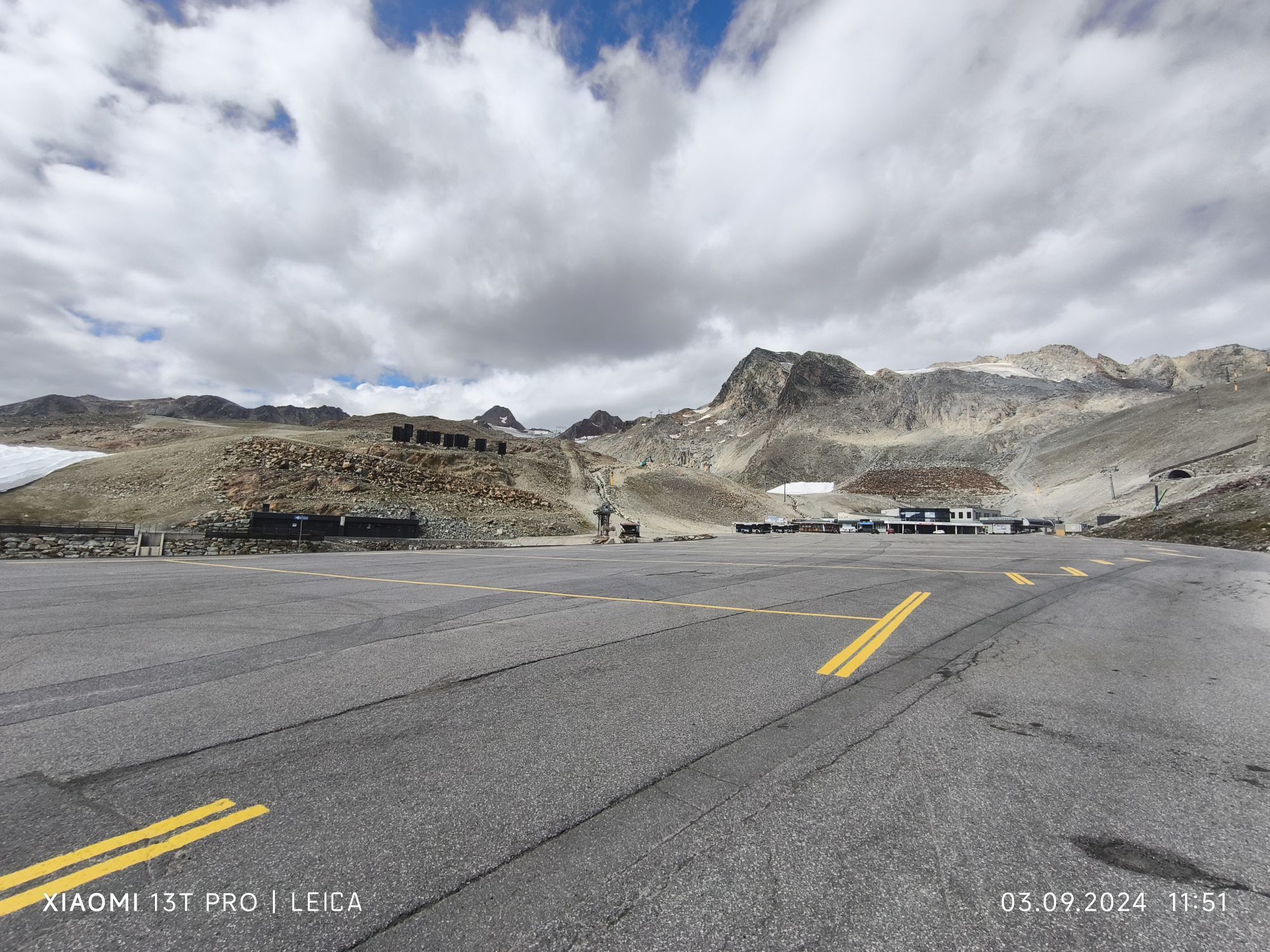
All parking is free during the day.
Parking for several days (eg hike tour):
Postplatz, Parkticket available at the information Sölden Parkgarage Gaislachkoglbahn, Parkticket either online or directly at the cash desk of the Gaislachkoglbahn
Webové kamery z prehliadky
-
Venter Seilbahnen - DSL Wildspitze
-
Seekogel
-
Gaislachkogel
-
Sölden - Schwarze Schneid
-
Sölden - Tiefenbachferner Tal
-
Sölden - Rettenbachferner
-
Alt Vent
-
Geierwallihof - Rofen/Vent
-
Vent
-
Vent
-
Vent
-
Schwarze Schneid Mittelstation
-
Sölden - Gaislachkogelbahn Mittelstation
-
Sölden - Schwarzkogl Talstation
-
Sölden - Tiefenbachkogl
Obľúbené výlety v okolí
-
4,8
Vent - Kreuzspitze
Turistika 20,6 km -
4,4
Hochtour Wildspitze, 3.768m
strednáVysoké turné 9,75 km -
3,1
Tiefenbachglacier - Mountaineering Village Vent
strednáTuristika 10,8 km -
4,5
Vent - Wilder Mann - Breslauer Hütte - Stableinalm
strednáTuristika 7,25 km -
4,1
Hohe Geige über Gawinden und den Westgrat
ťažkéTuristika 14,3 km -
5,0
Obergurgl - Ramolhaus
Turistika 7 km -
5,0
From Vent to the Similaun at 3,606 m
ťažkéVysoké turné 29,2 km -
4,8
Vent - Martin Busch Hut - Similaun Hut
strednáTuristika 13,7 km -
4,0
E5 - 4. Etappe: Zams - Braunschweiger Hütte
strednádiaľková pešia trasa 5 km -
5,0
07. 19.07.19 - Langeggbahn-Rotkogel–Schwarzsee-Schwarzkogel-Giggijochbahn
strednáTuristika 6,67 km

Turistika a stopovanie


Nenechajte si ujsť ponuky a inšpiráciu na ďalšiu dovolenku
Vaša e-mailová adresa bol pridaný do poštového zoznamu.