







2026 Seen Run Tannheimer Tal - 3 km pupil run
Úroveň náročnosti: 1
Date: Saturday, May 30, 2026
From 9:00 a.m. bib number distribution and late registration at Sportcenter Nesselwängle.
Start/finish location: Sportcenter Nesselwängle
Start at 10:30 a.m.
Children's award...
Date: Saturday, May 30, 2026
From 9:00 a.m. bib number distribution and late registration at Sportcenter Nesselwängle.
Start/finish location: Sportcenter Nesselwängle
Start at 10:30 a.m.
Children's award ceremony at 11:30 a.m. at Sportcenter Nesselwängle
Entry fee:
Until April 29, 2026: €6.00 Until May 29, 2026: €8.00 On-site late registration plus €8.00Categories:
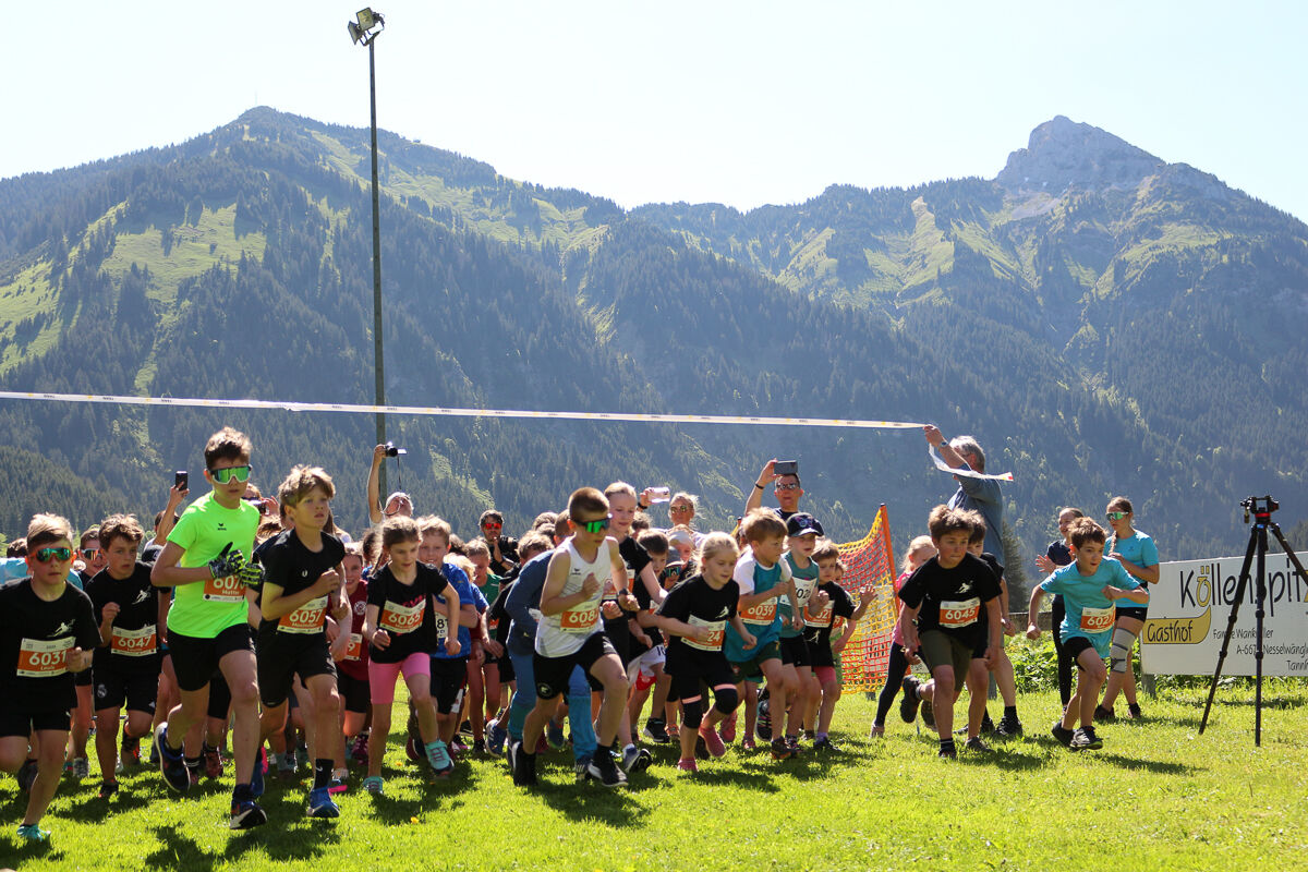
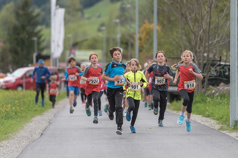
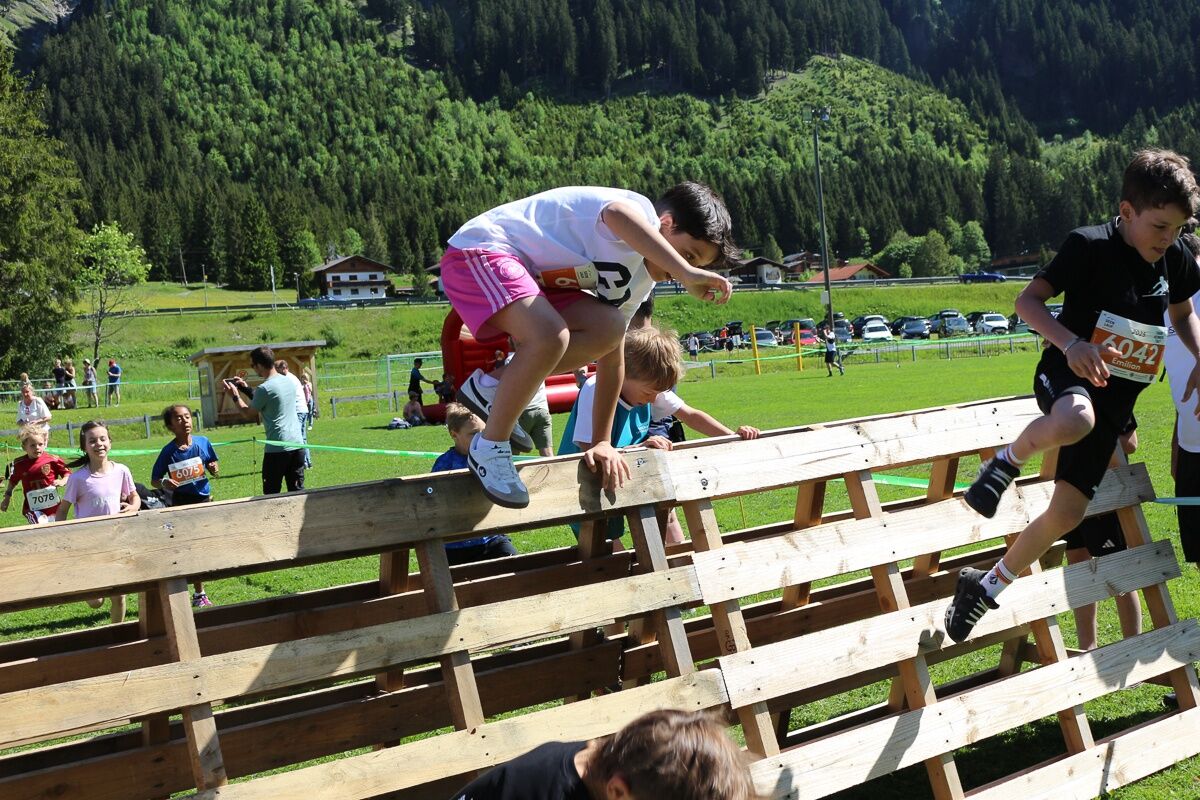
Children wU8 / mU8 (2019 and younger) - Distance: 650 m Children wU10 / mU10 (2018 - 2017) - Distance: 1.3 km Children wU12 / mU12 (2016 - 2015) - Distance: 1.3 km Girls wU14 / Boys mU14 (2014 - 2013) - Distance: 3 km Girls wU16 / Boys mU16 (2012 - 2011) - Distance: 3 km

Nesselwängle circuit area Sportcenter
Whether from France, Belgium, the Netherlands or Germany,
Northern Europe has direct motorway access:
The fastest, easiest, and vignette-free way by car to the Tannheimer Tal is via the A7 motorway. Turn right at the “Oy-Mittelberg” exit and follow federal road B 310 towards Wertach/Oberjoch for approx. 15 kilometres. At Oberjoch, turn left to Tannheimer Tal.
From Switzerland, you can reach the Tannheimer Tal via
Lindau – Sonthofen or Arlberg – Landeck – Fernpass – Reutte – Weißenbach > Tannheimer Tal. (No vignette required!)
From Italy or Vienna, take the Austrian motorway
Innsbruck – Mötz – Fernpass – Reutte – Weißenbach > Tannheimer Tal
or via Rosenheim – Bad Tölz – Garmisch-Partenkirchen – Reutte – Weißenbach > Tannheimer Tal.
Bus:
Bus connection from Sonthofen to Oberjoch Bus connection from Jungholz to Oberjoch Bus connection from Oberjoch Bus connection from Pfronten Bus connection from ReutteTrain stations:
Sonthofen: 24 km (bus connection Sonthofen - Oberjoch, Oberjoch - Nesselwängle) Pfronten/Ried: 16 km (bus connection Pfronten - Nesselwängle) Reutte: 24 km (bus connection Reutte - Nesselwängle)Airports:
Memmingen 80 km Munich 205 km Stuttgart 205 km Zurich 220 km Innsbruck 120 kmSportcenter car park
Krinnenalplift car park
1
Webové kamery z prehliadky
Získajte prehľad
Vždy naživo na mieste s viac ako 9 500 webovými kamerami. bergfex Ako používateľ Pro si teraz môžete pozrieť príslušné webové kamery pre mnohé zájazdy v aplikácii zájazdy z. Môžete si tak priamo prezerať aktuálne podmienky.
Obľúbené výlety v okolí
-
4,8
Thaneller
strednáTuristika 4,90 km -
4,7
Around Weißensee
svetloTuristika 6,12 km -
5,0
Hiking tour to Breitenberg
ťažkéTuristika 15,6 km -
4,7
Hönig over the Älplestal-valley
strednáTuristika 11,6 km -
4,9
Gemeinde Grän, Tirol/Österreich Aggenstein Rundtour über Höhenweg
strednáTuristika 9,84 km -
4,8
To the Bad Kissinger Hut via the Gräner Höhenweg
strednáTuristika 13,0 km -
4,4
Rundwanderung Stuibenfälle
strednáTuristika 3,92 km -
4,8
Tannheim / Vilsalpsee / Landsberger Hütte
strednáTuristika 15,7 km -
4,7
Panorama route to the Ostlerhütte
strednáTuristika 5,11 km -
4,8
Iseler und Kühgundkopf
strednáTuristika 7,63 km
Turistika a stopovanie


Nenechajte si ujsť ponuky a inšpiráciu na ďalšiu dovolenku
Vaša e-mailová adresa bol pridaný do poštového zoznamu.





