







Village circuit

Úroveň náročnosti: 4
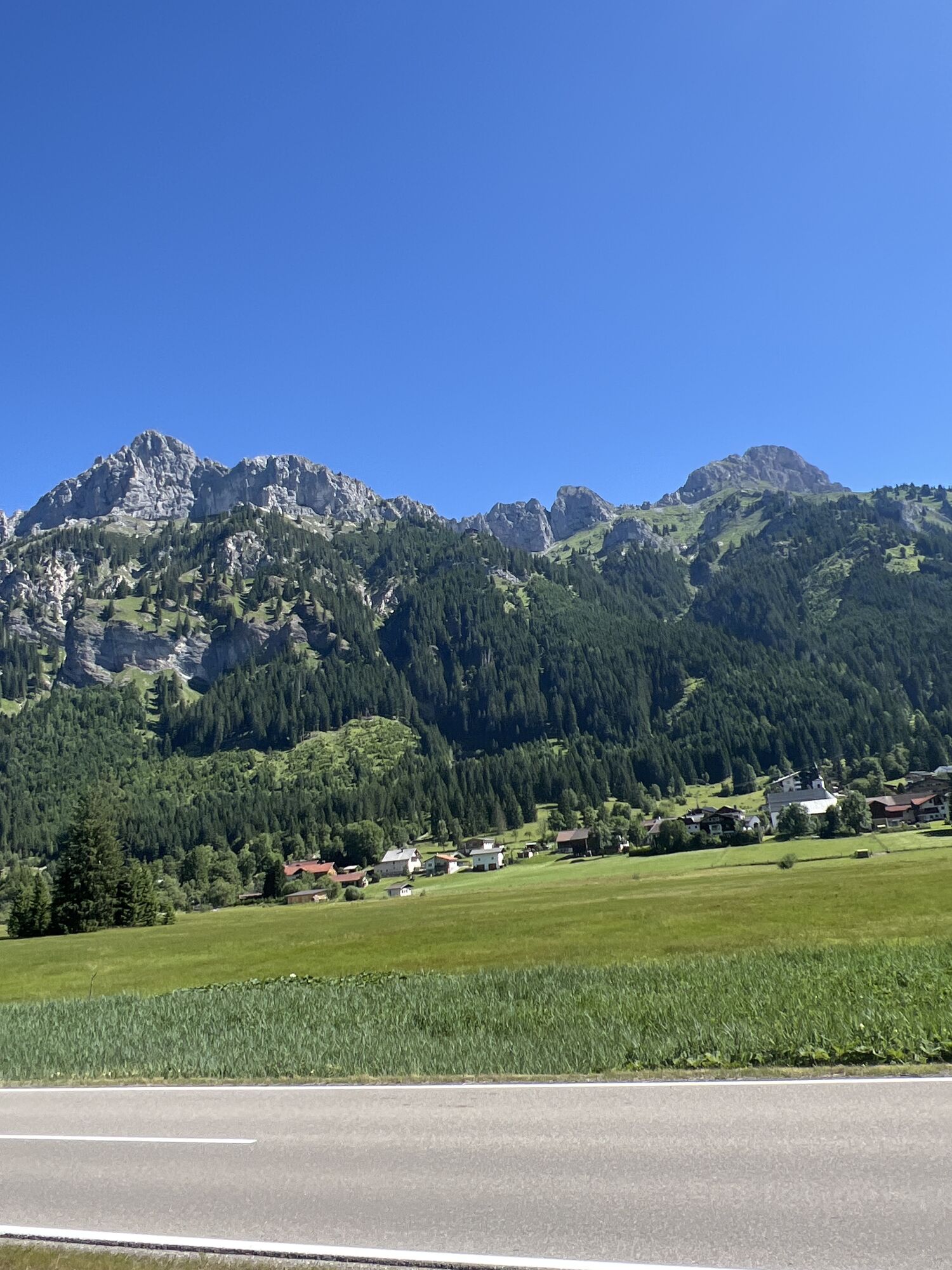
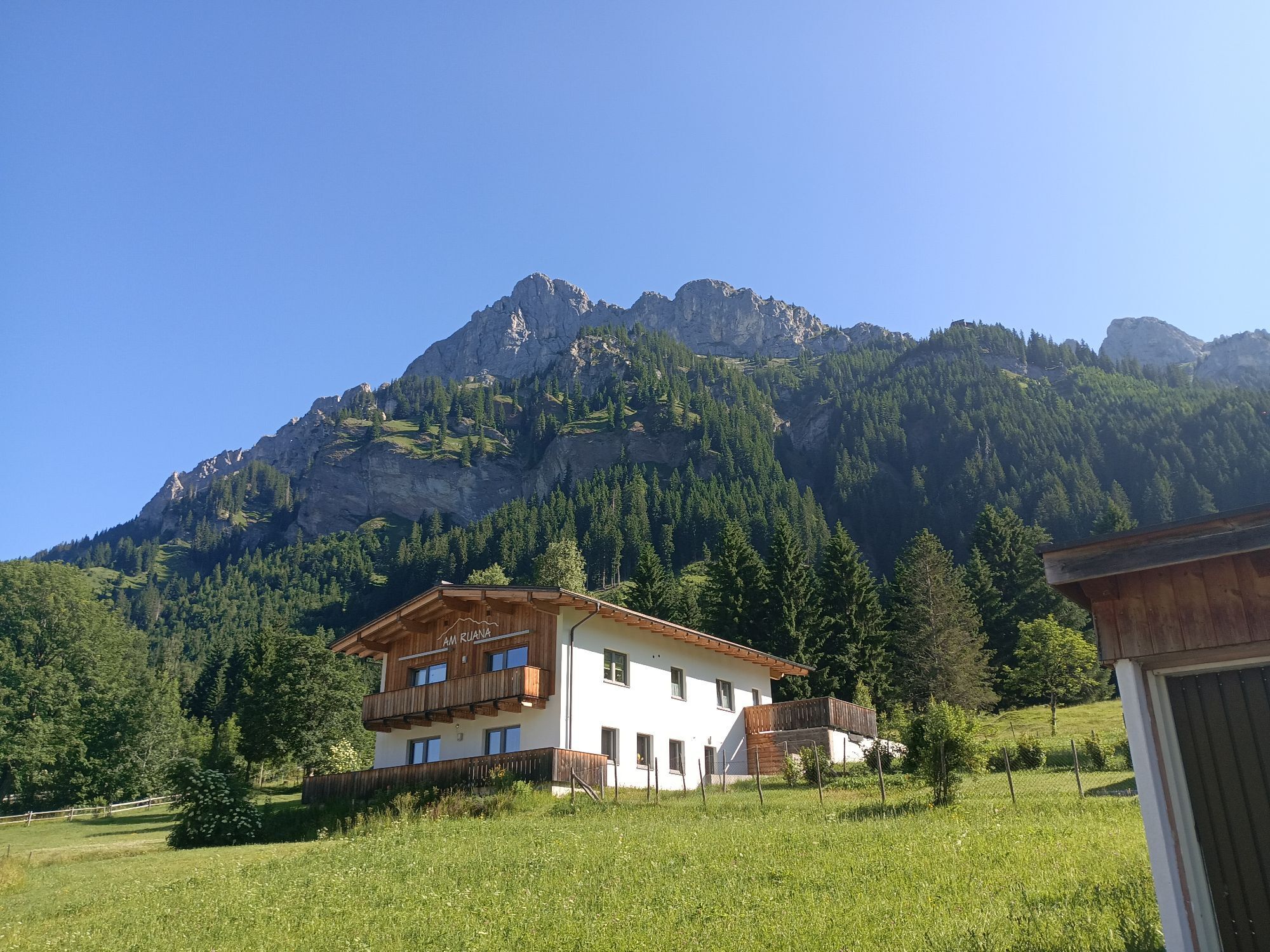
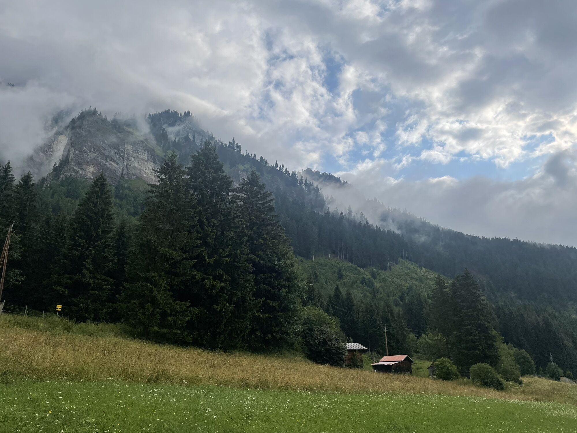
Experience the Running and Nordic Walking Arena Tannheimer Tal
Whether a breathless beginner or a well-trained mountain athlete: in the Tannheimer Tal, everyone who enjoys fresh air and exploring the surrounding...
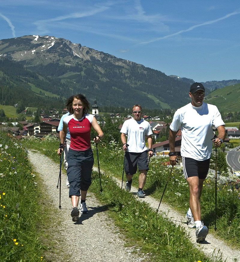
Whether a breathless beginner or a well-trained mountain athlete: in the Tannheimer Tal, everyone who enjoys fresh air and exploring the surrounding mountains on foot will be satisfied. All activity levels, from hobby athletes to professionals, face a daily choice: Tirol's largest network of trails offers 26 marked routes extending over a total of 186 kilometers. Beginner loops are included as well as challenging mountain runs. To help all guests know which path suits their fitness and requirements, a specially developed map and small signs provide information about elevation profile, difficulty level, and route length – the running and Nordic walking map.
Along meadows, over green pastures, by glittering mountain lakes... walking and running in the Tannheimer Tal is not only the best training for the body but especially balm for the soul. The starting points for all movers are in the six villages of Tannheim, Grän-Haldensee, Nesselwängle-Haller, Zöblen, Schattwald, and Jungholz. From here, walkers, Nordic walkers, and runners follow the signposts, easily recognized by the figures with sticks. Additionally, all routes, like ski pistes, are classified into black, red, and blue categories. This optimal marking contributed to the fact that since 2005, this probably most beautiful high valley in Europe can officially call itself a "Running and Walking Competence Center."

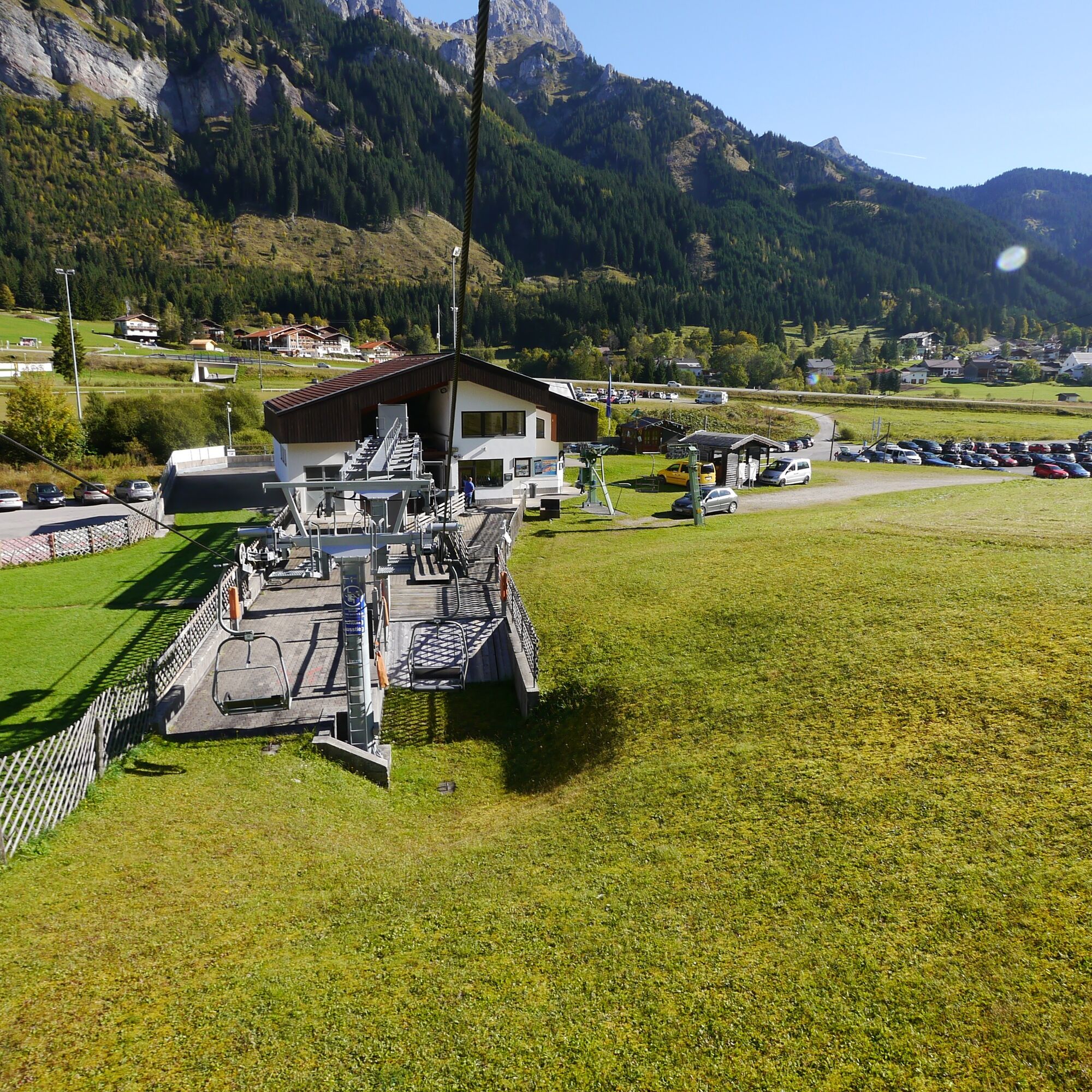
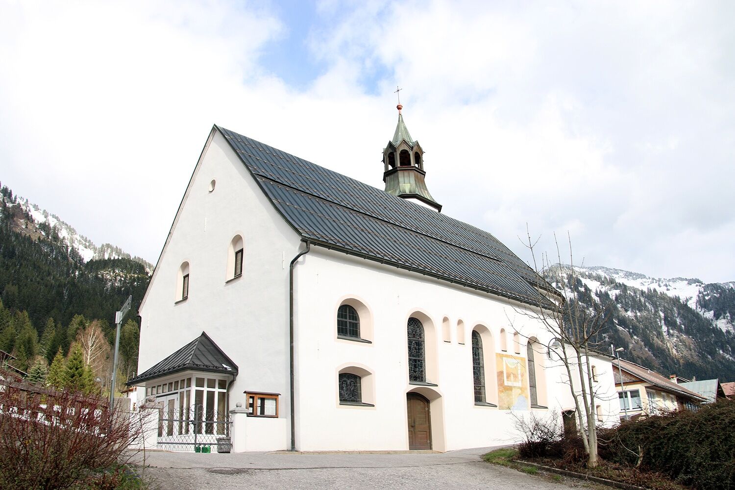

Head east parallel to the federal road until the second underpass. Then continue west, at the fork turn left into the center of Nesselwängle. Pass the tourist office, uphill to the crossroad, then left along the church wall before turning right to the town exit. Head south through the underpass back to the starting point.
Áno
Áno
Personal equipment must be safe, functional, and meet the respective technical standards. It is recommended that everyone inform themselves about the planned routes through specialist literature or on site. Full equipment is strongly recommended even for experienced individuals!
It should be noted that running and walking sports carry an increased risk of accidents and injuries. Despite careful route planning, there is always a basic risk. Preparing for routes through endurance training, appropriate technical training and education, as well as personal caution reduce accident risks and dangers.
On the A7 motorway, take the "Oy-Mittelberg" exit onto B310 towards Wertach and Oberjoch. There, follow signs for "Tannheimer Tal" B199, exit Tannheim, continuing to Nesselwängle. From the Tyrol side, via Reutte on the B198 towards the Lech valley to Weißenbach, over the Gaicht pass along the B199 to Nesselwängle.
By train to Sonthofen, Pfronten/Ried, or Reutte, then bus to Nesselwängle.
Lift parking lot in Nesselwängle - paid parking
4
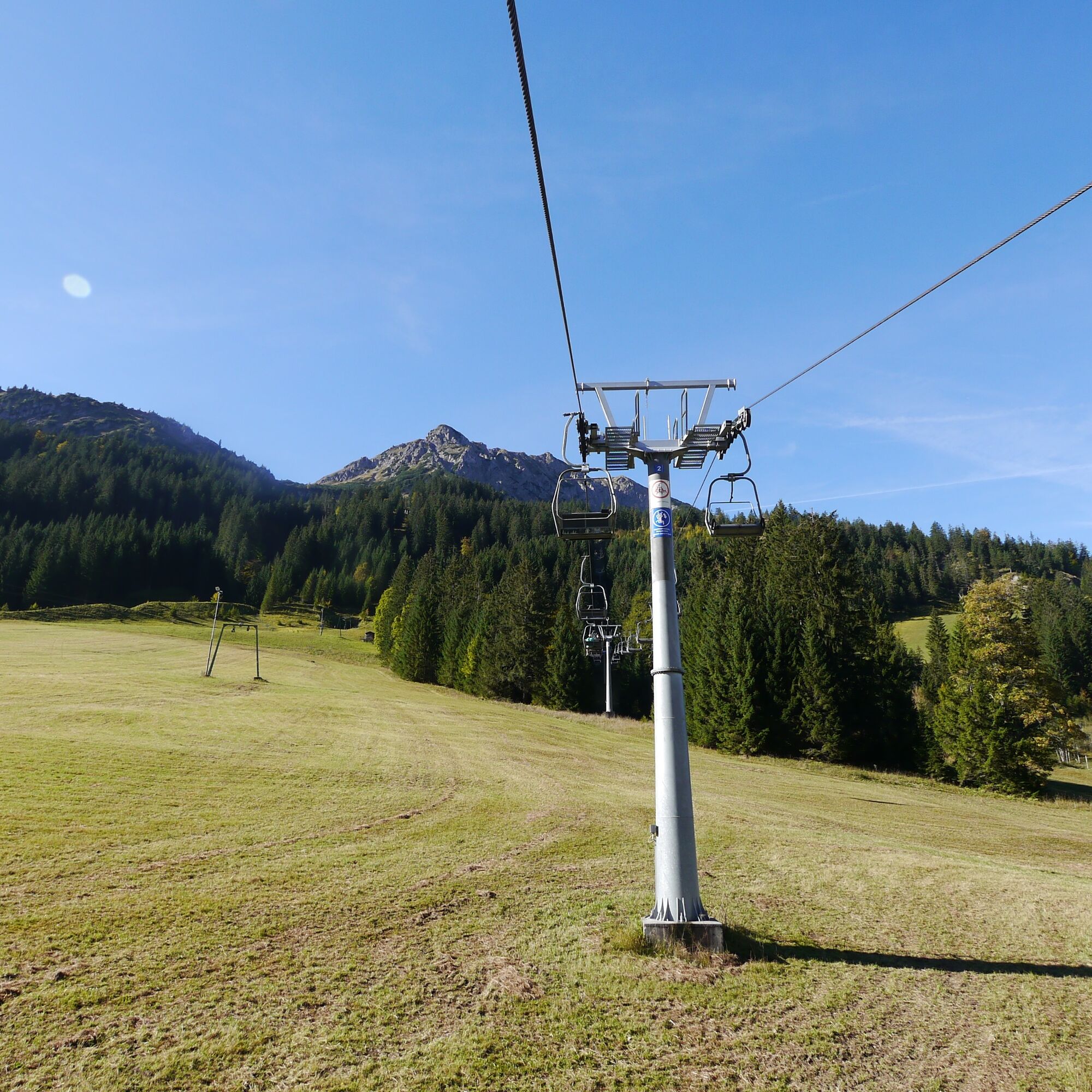
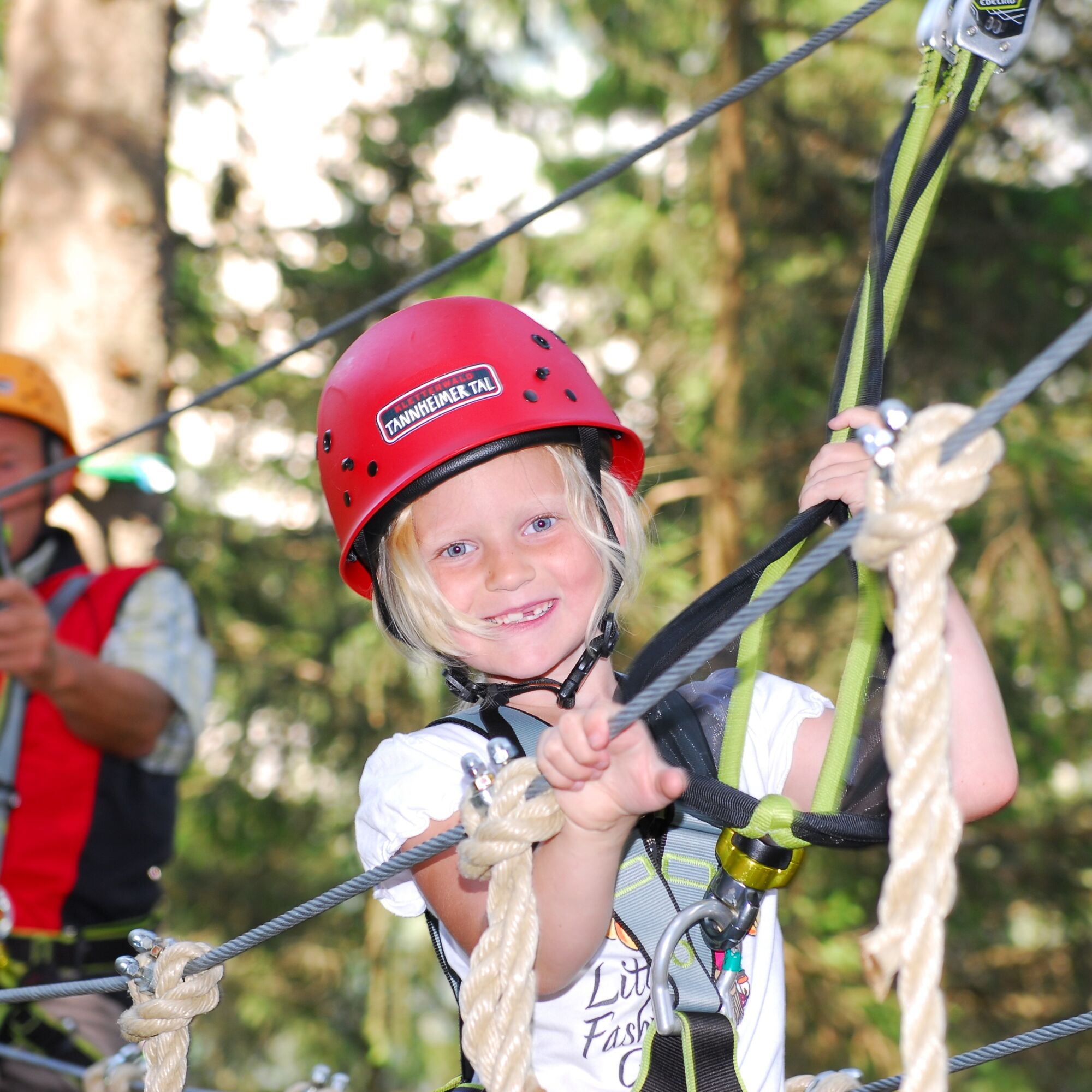
Next to the lift in Nesselwängle is the Tannheimer Tal climbing forest.
Webové kamery z prehliadky

Obľúbené výlety v okolí
-
4,8
Thaneller
strednáTuristika 4,90 km -
4,6
Almkopf Rundweg
strednáTuristika 2,60 km -
4,9
Hiking tour to Breitenberg
ťažkéTuristika 15,6 km -
4,7
Mountain hike to the Aggenstein
ťažkéTuristika 15,3 km -
4,8
Hönig over the Älplestal-valley
strednáTuristika 11,6 km -
4,6
Around Weißensee
svetloTuristika 6,12 km -
4,9
Gemeinde Grän, Tirol/Österreich Aggenstein Rundtour über Höhenweg
strednáTuristika 9,84 km -
4,9
Tegelberg | Branderschrofen | Neuschwanstein
strednáTuristika 14,8 km -
4,8
To the Bad Kissinger Hut via the Gräner Höhenweg
strednáTuristika 13,0 km -
4,6
Yellow Wall Trail, Tegelberg (A)
strednáVia ferrata 3,65 km
Turistika a stopovanie


Nenechajte si ujsť ponuky a inšpiráciu na ďalšiu dovolenku
Vaša e-mailová adresa bol pridaný do poštového zoznamu.





