






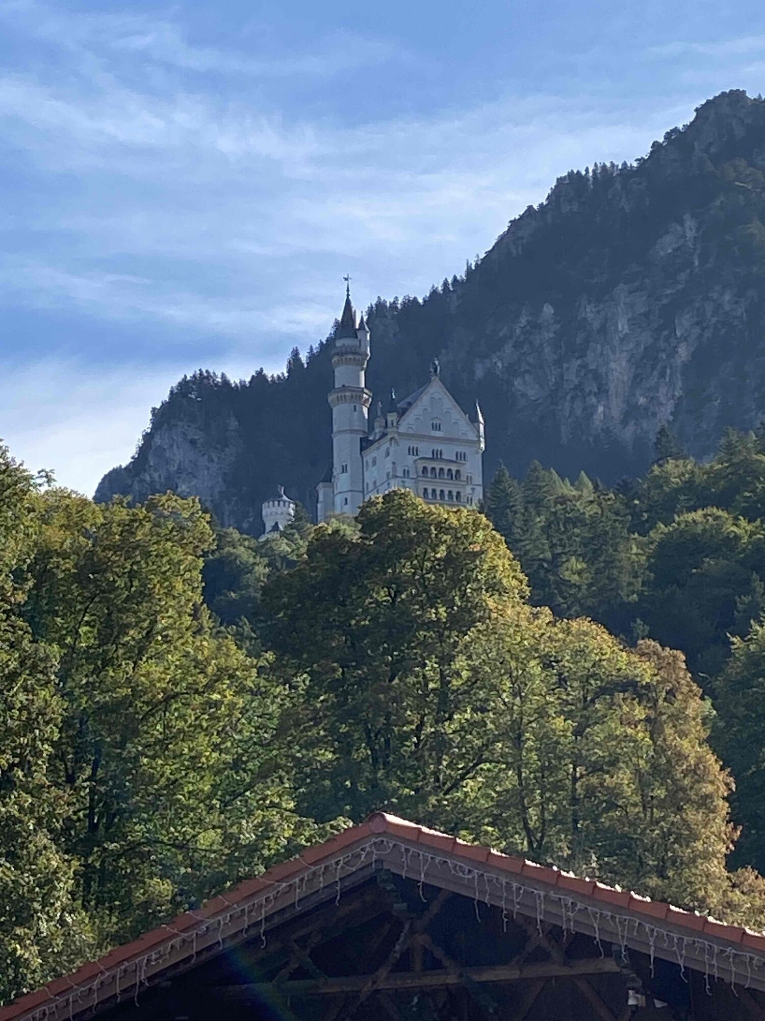
On the Trail of King Ludwig II

Úroveň náročnosti: 3
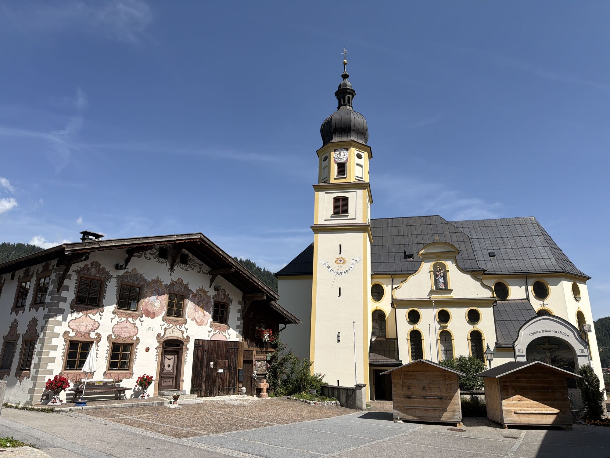
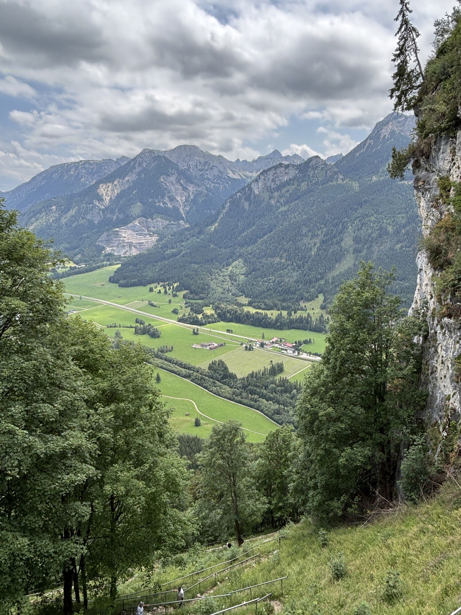
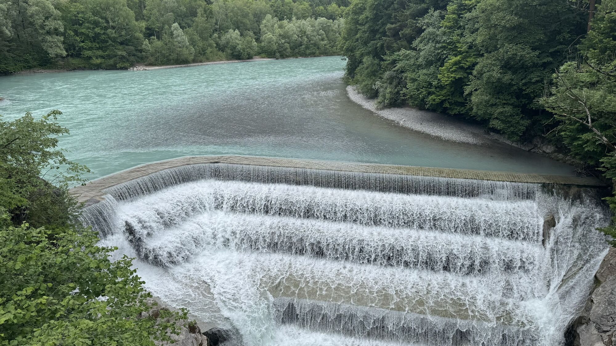
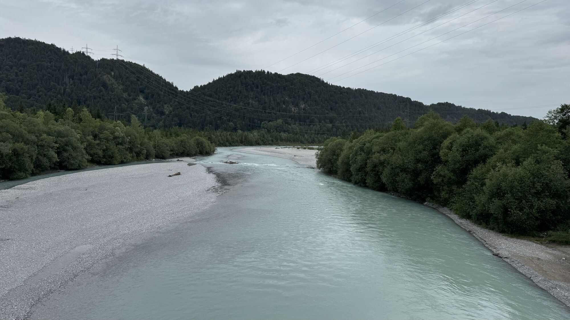
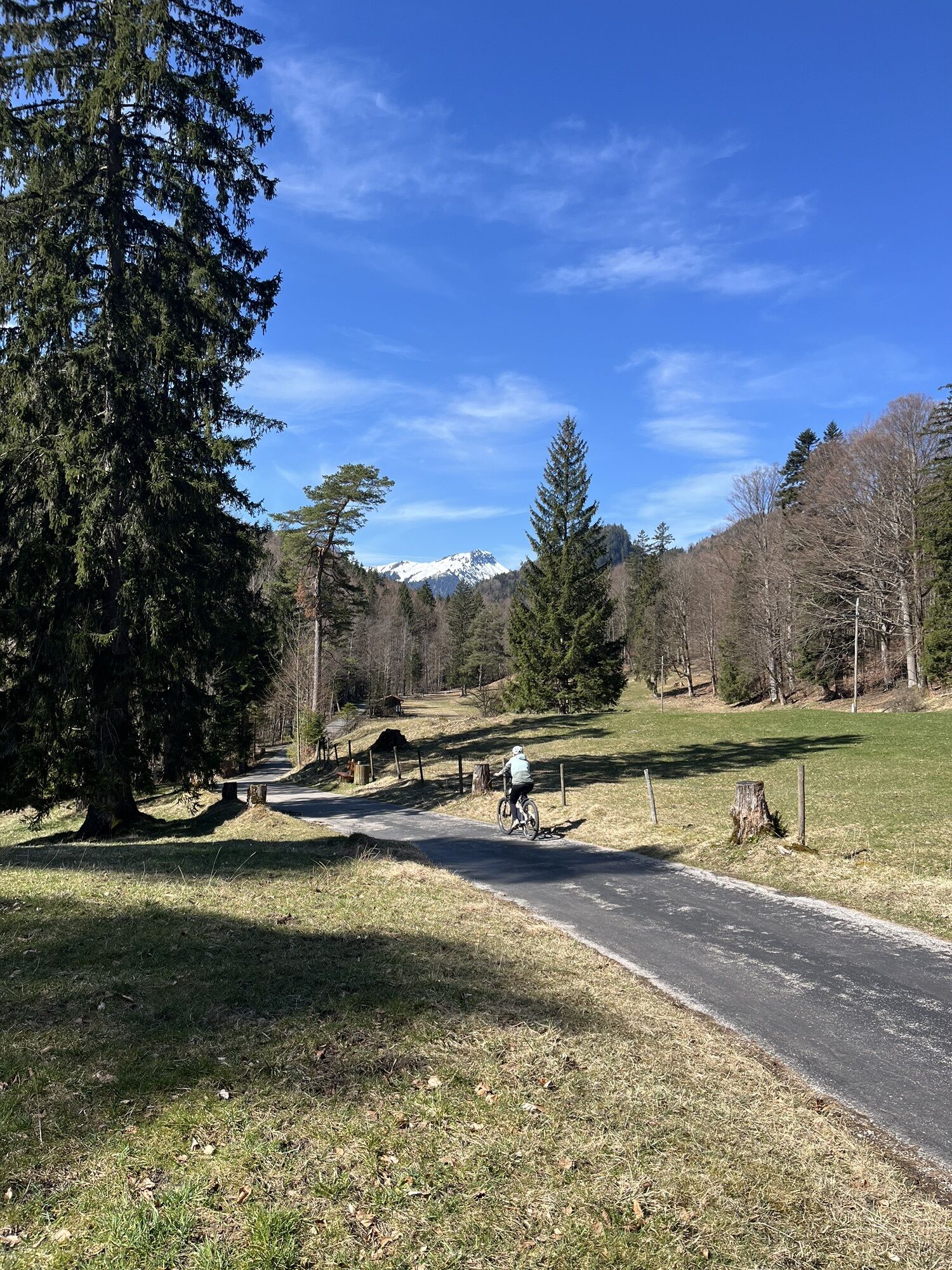
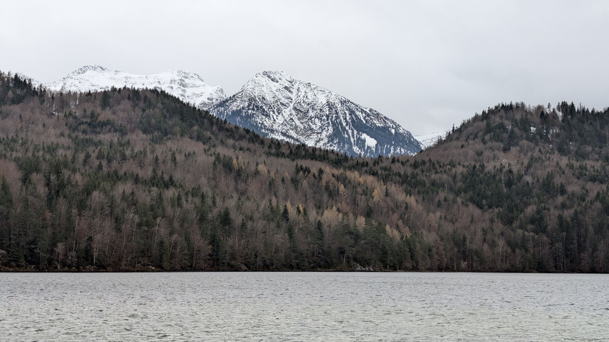


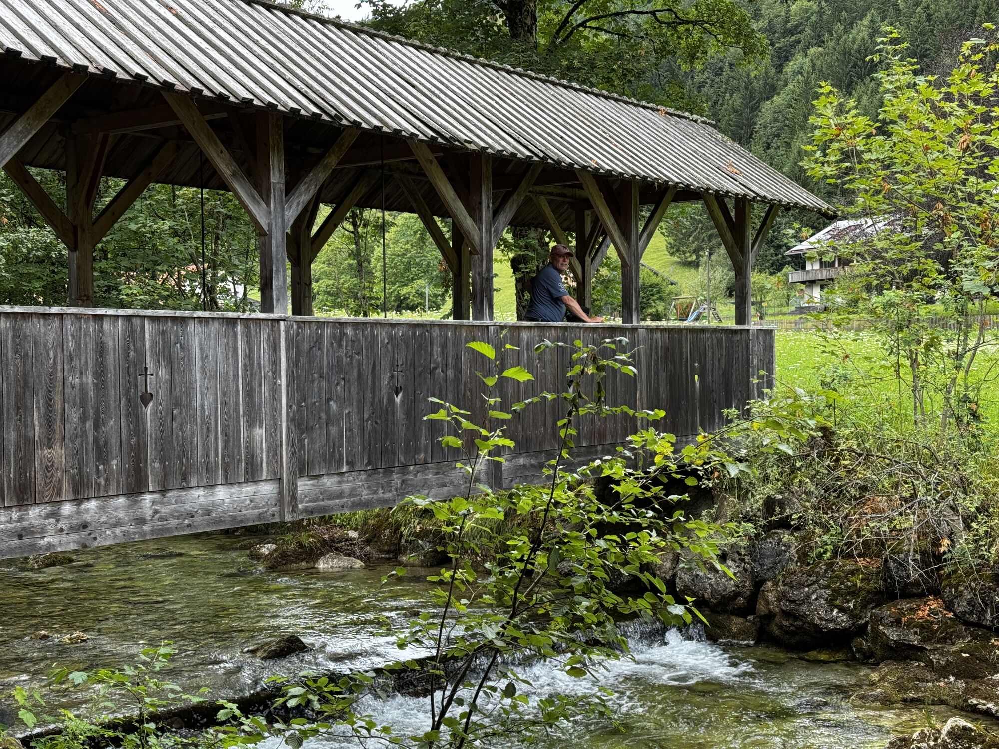
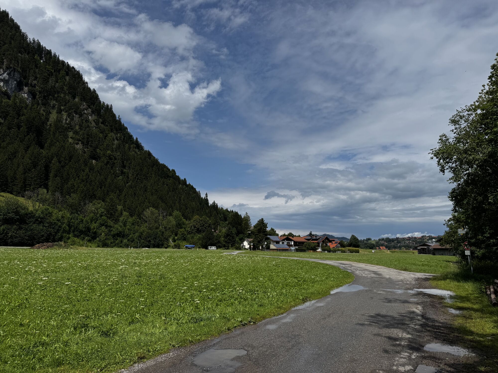
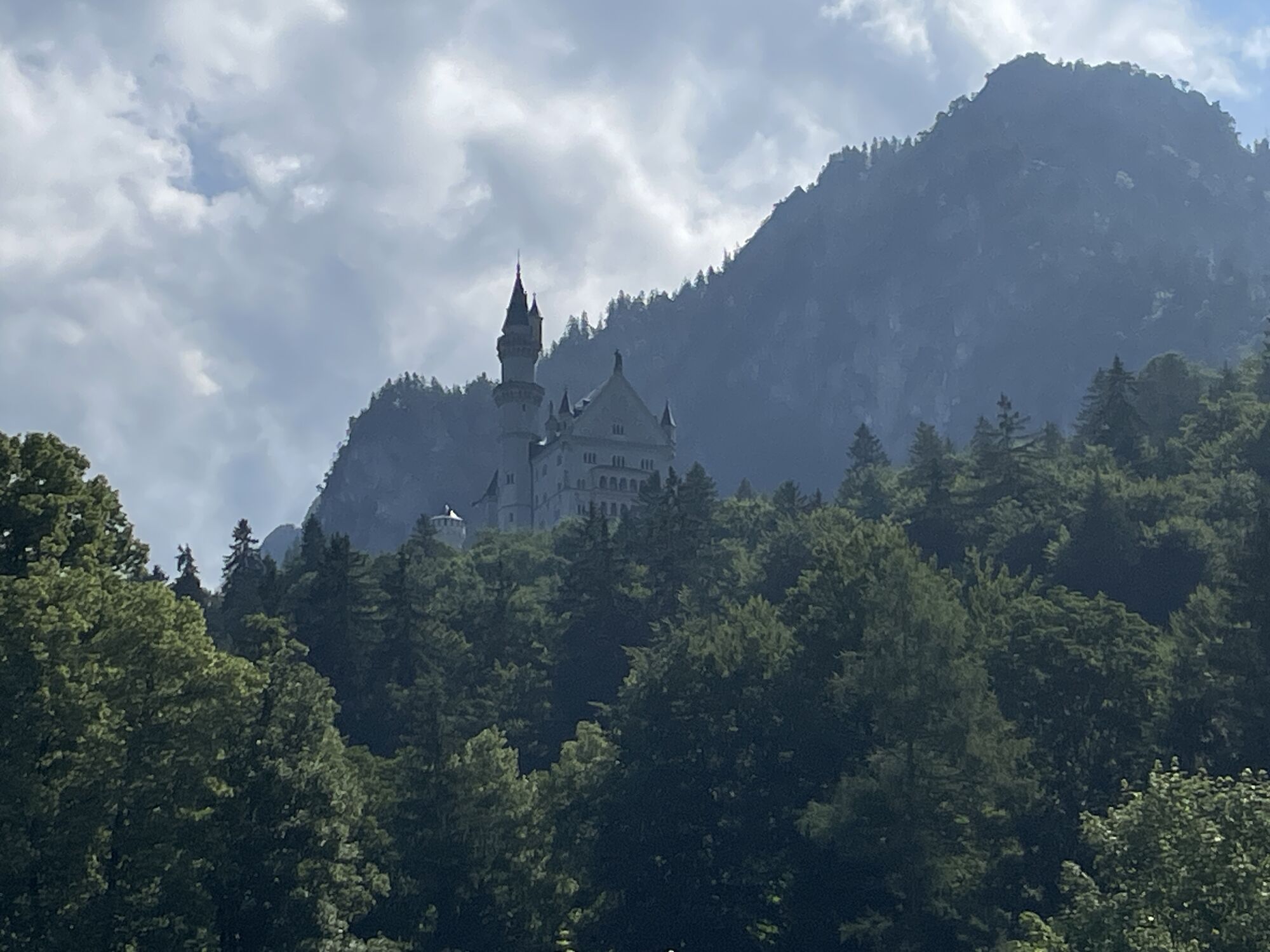
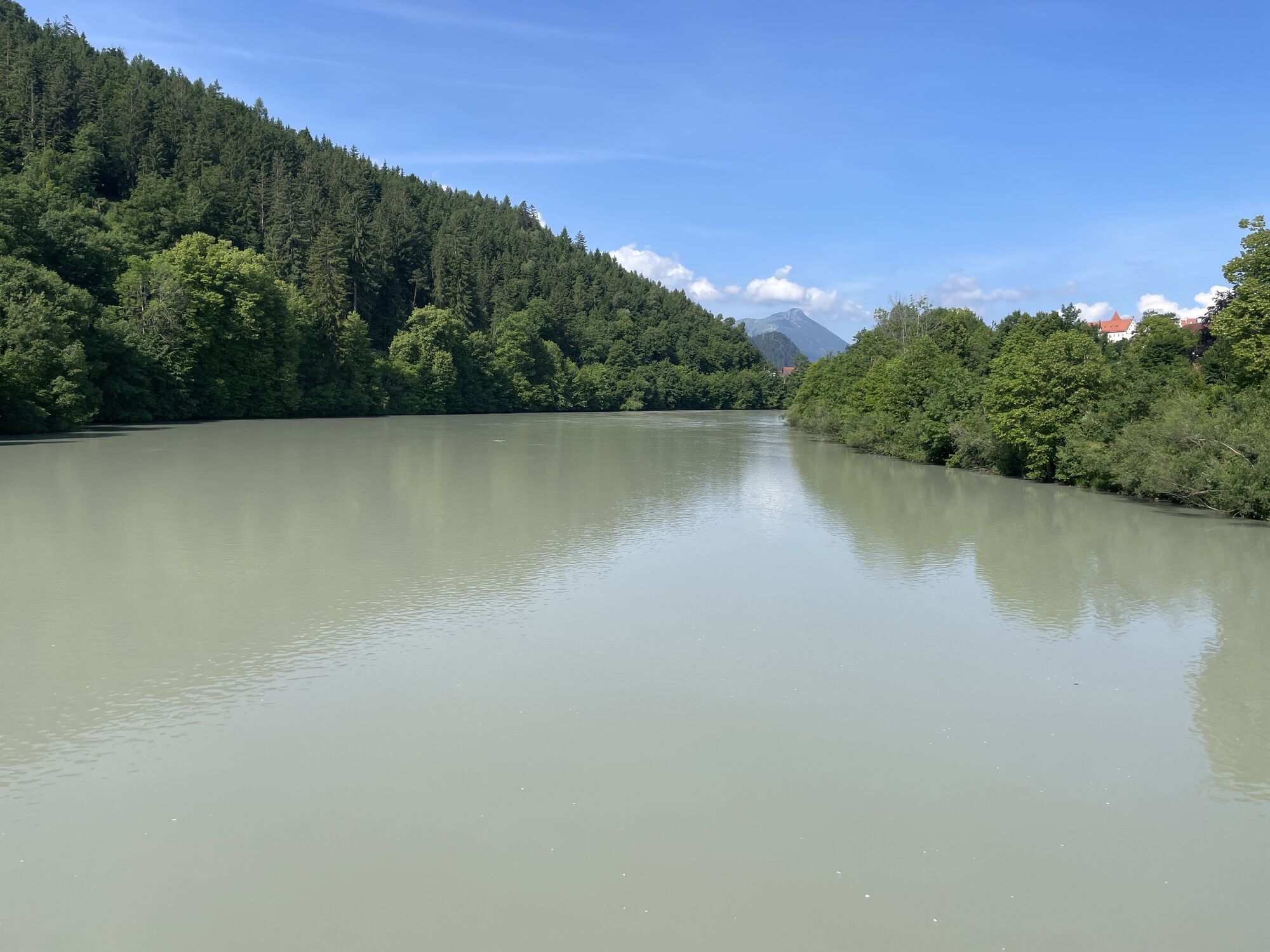
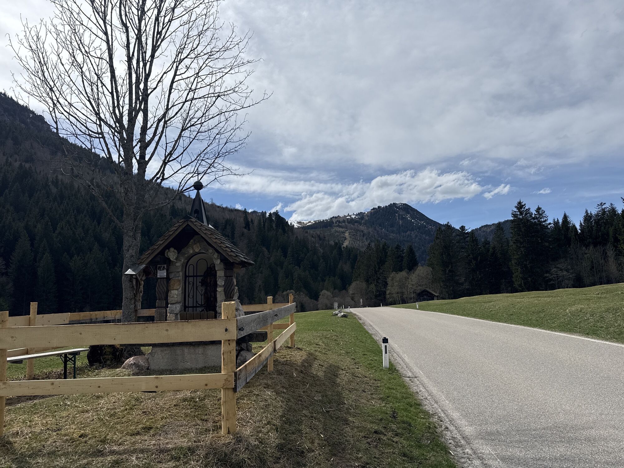
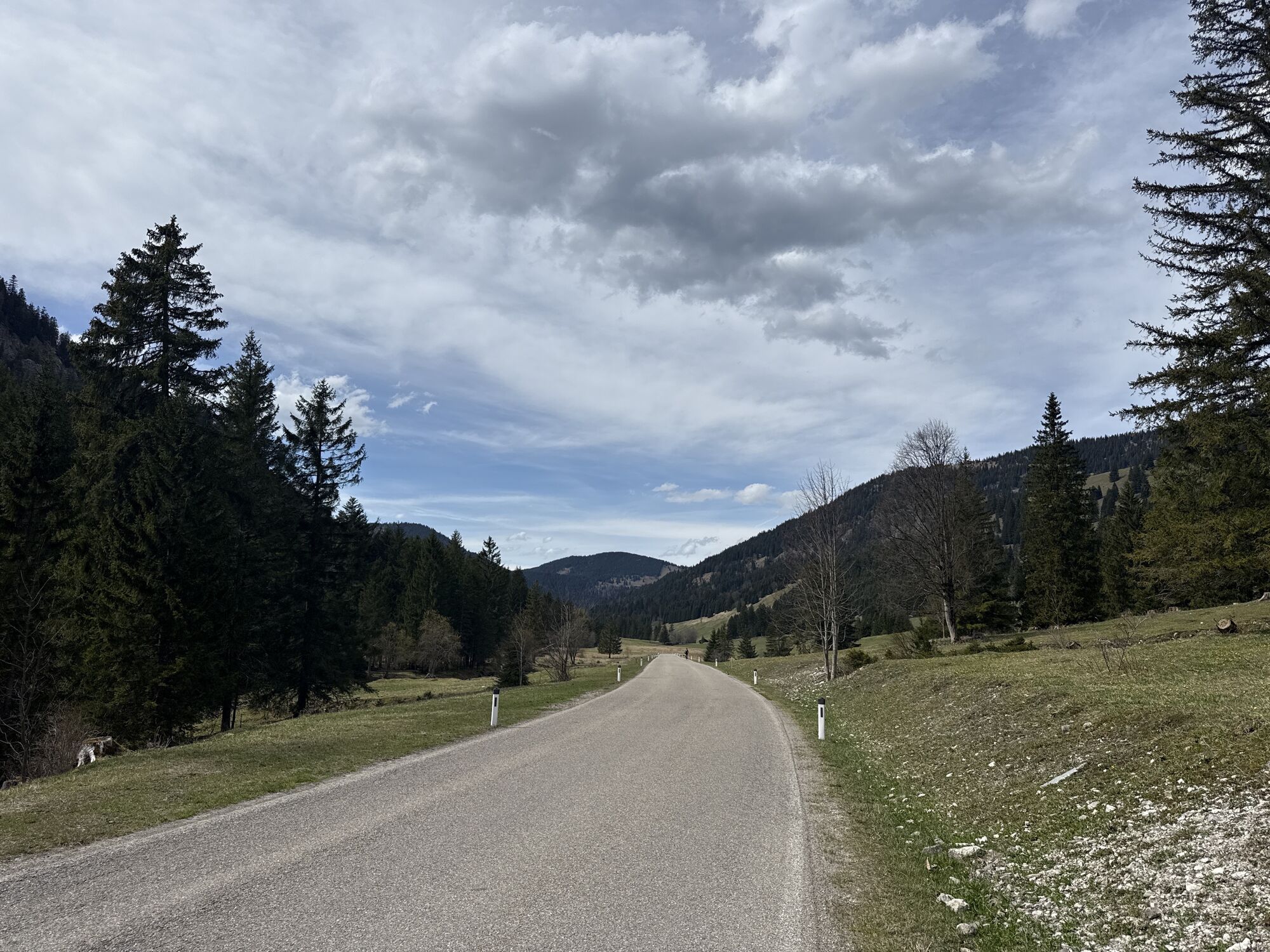
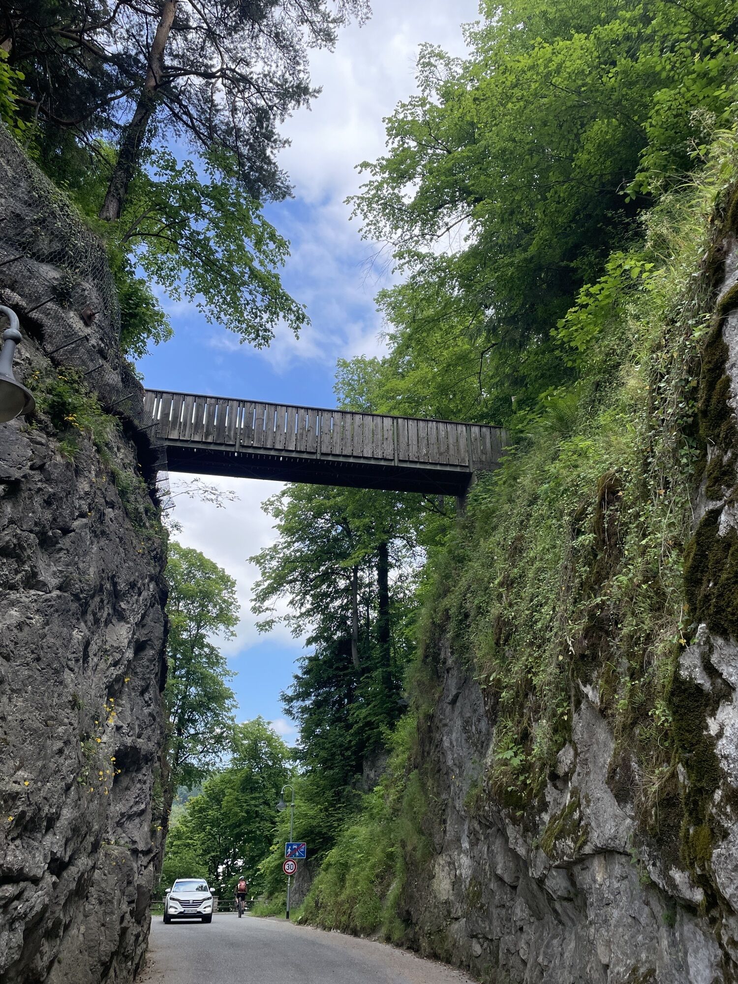
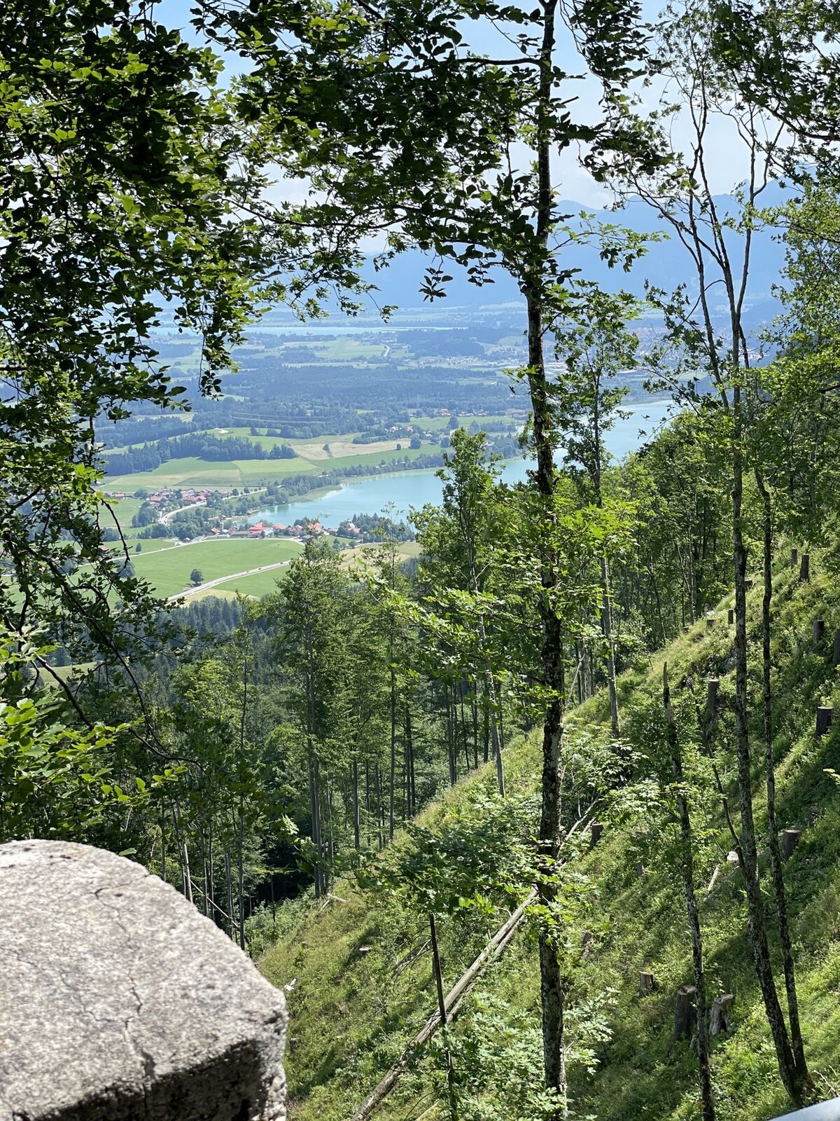
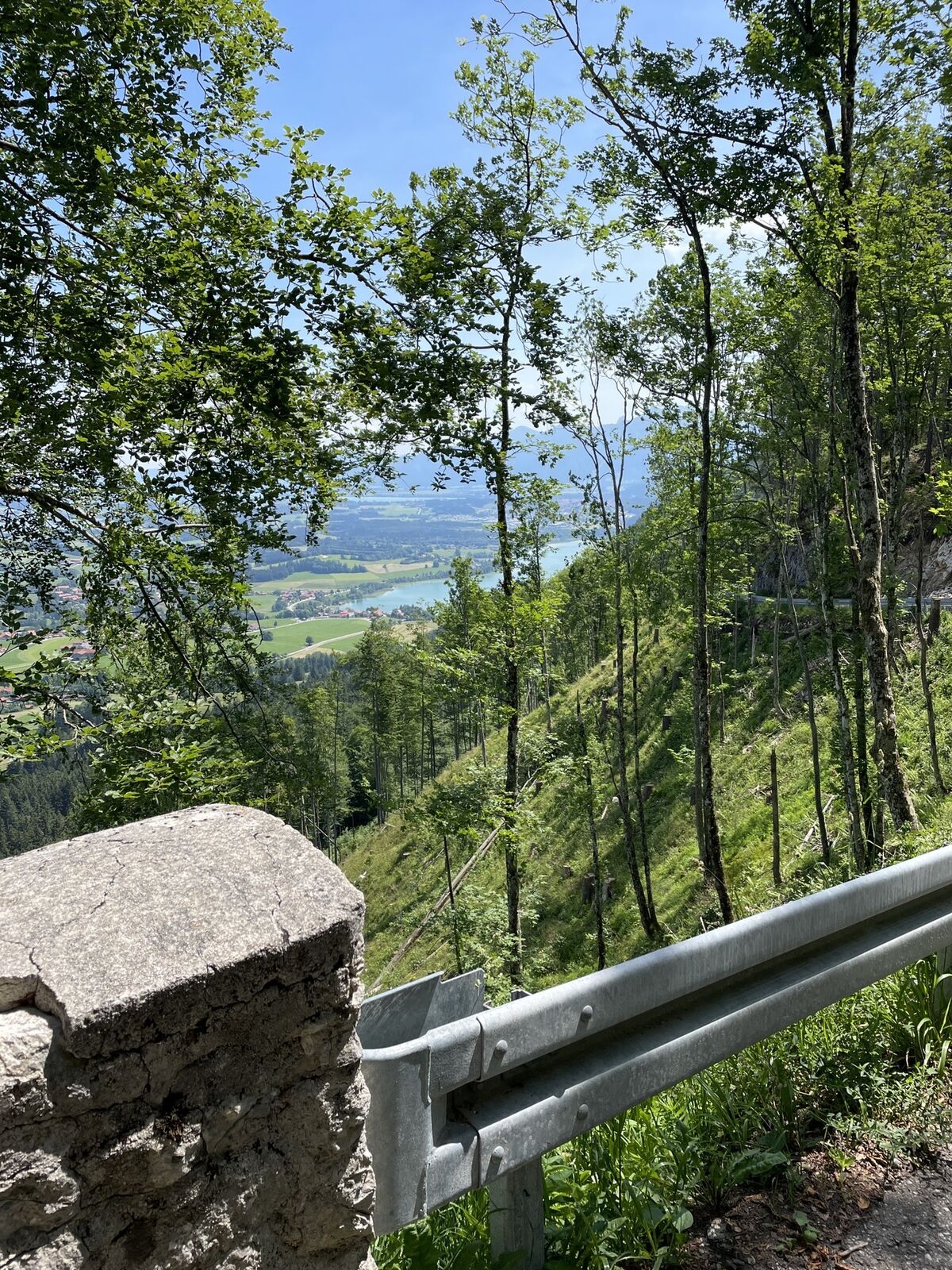
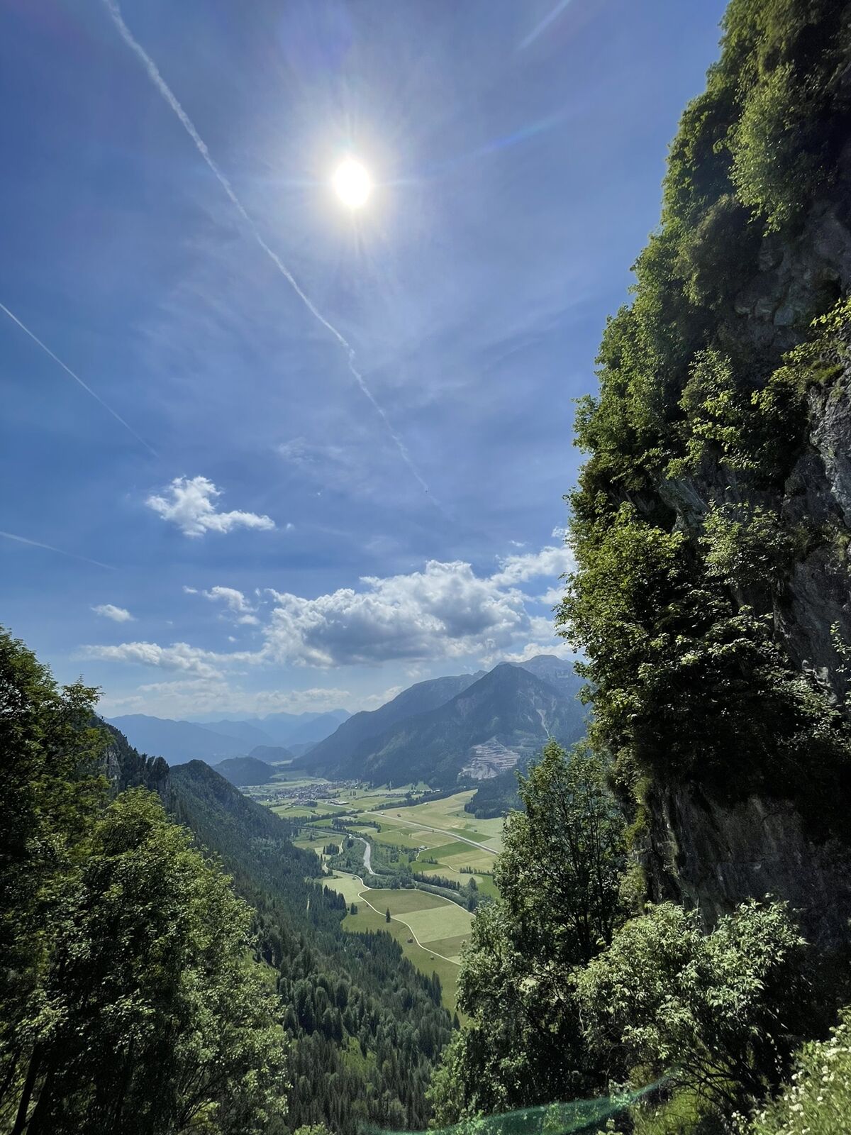
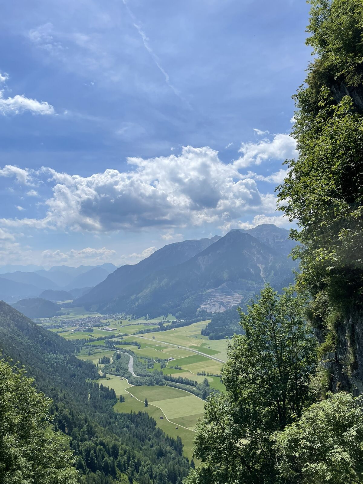
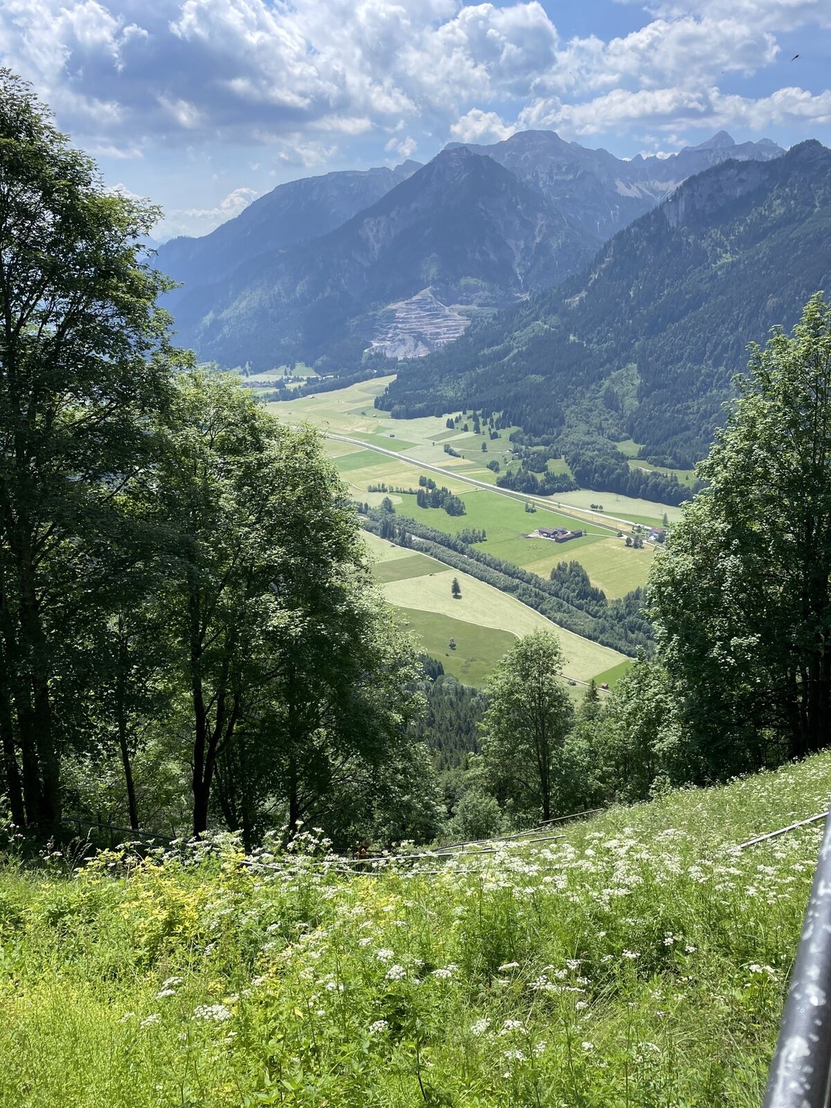


Start at the Tourism Information Office in Tannheim towards the East. At the intersection Grän/Haldensee turn left on to the Road L261 through the Engetal (valley) downhill to Pfronten to the main street....
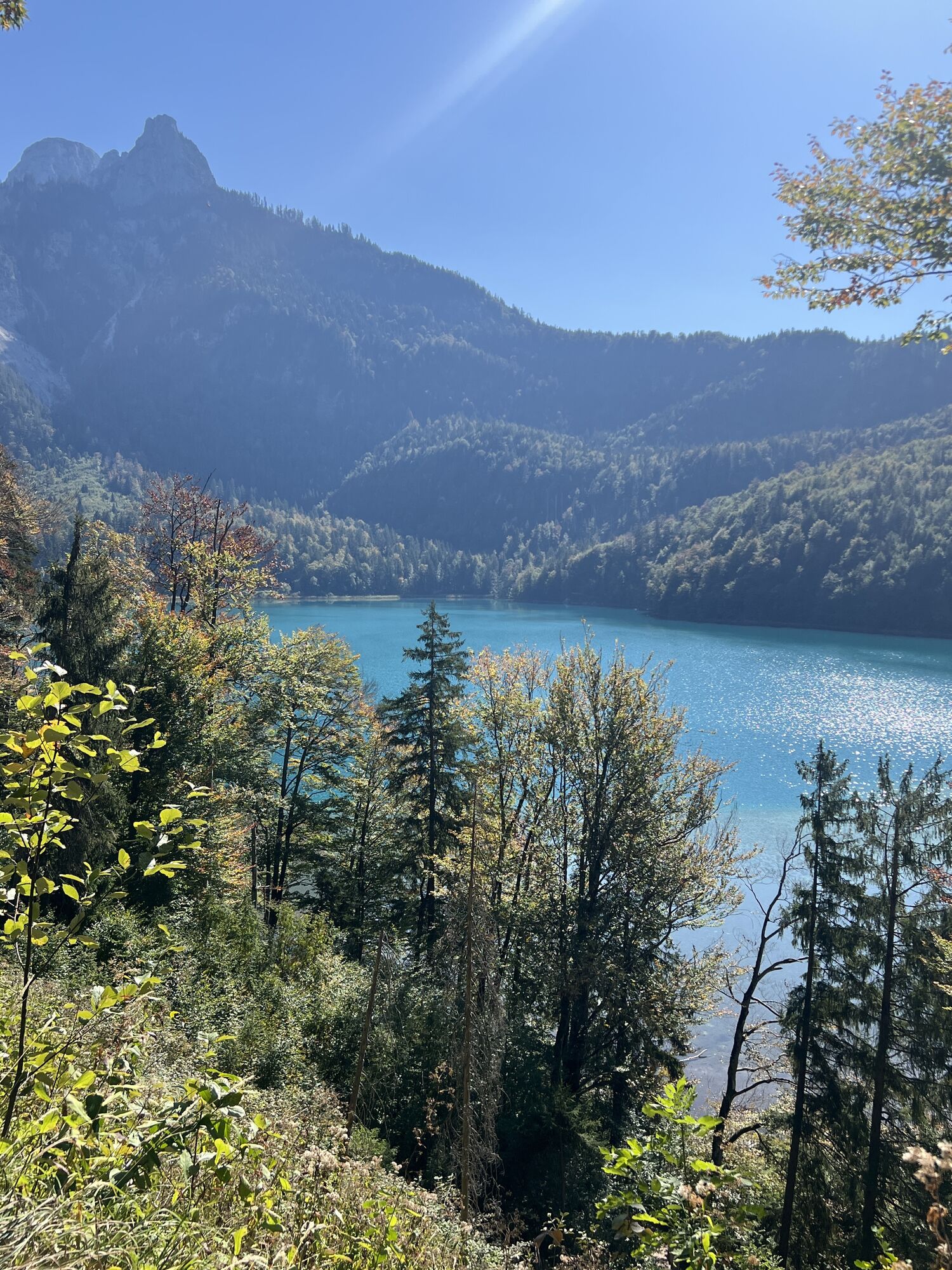
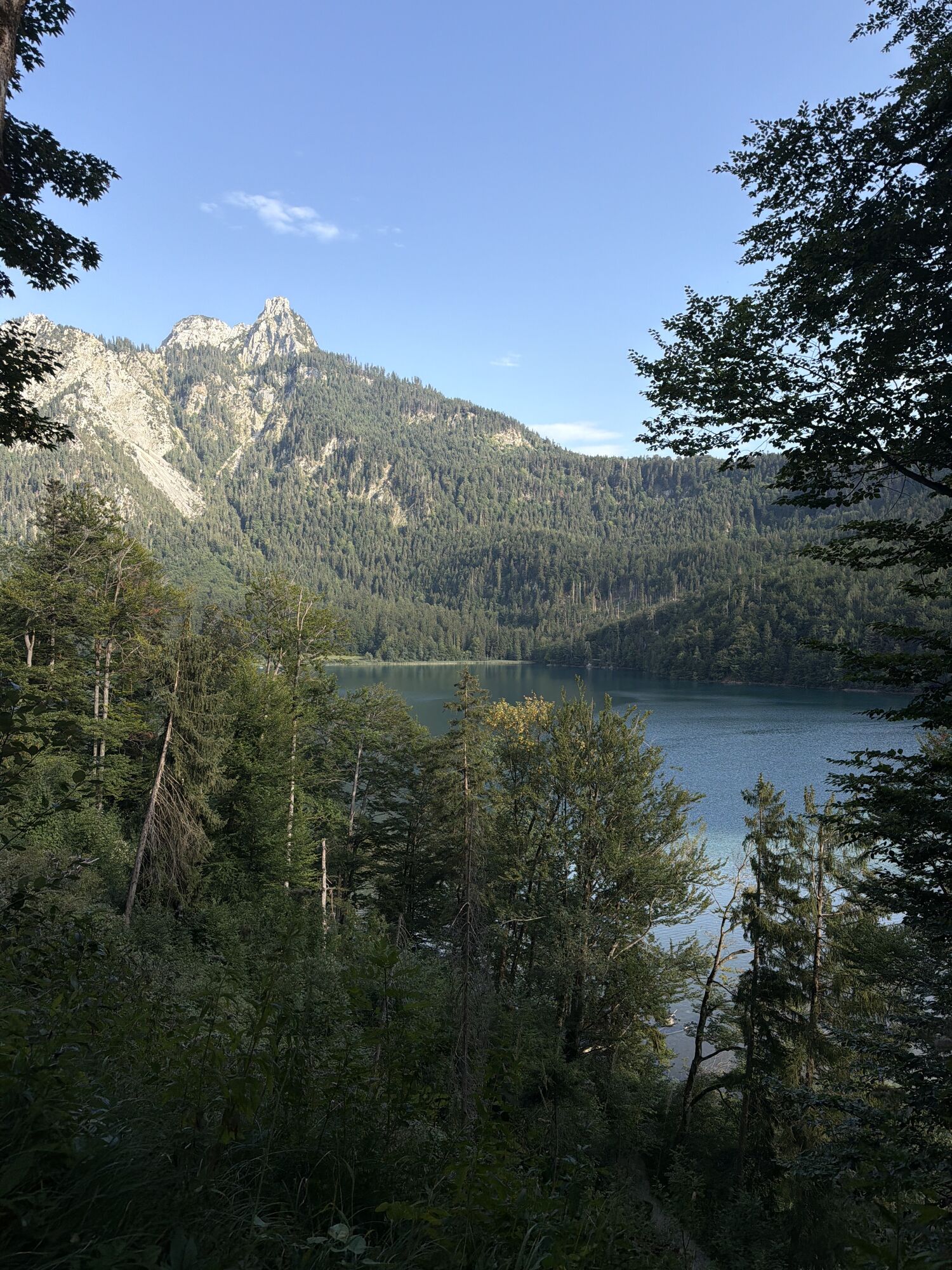
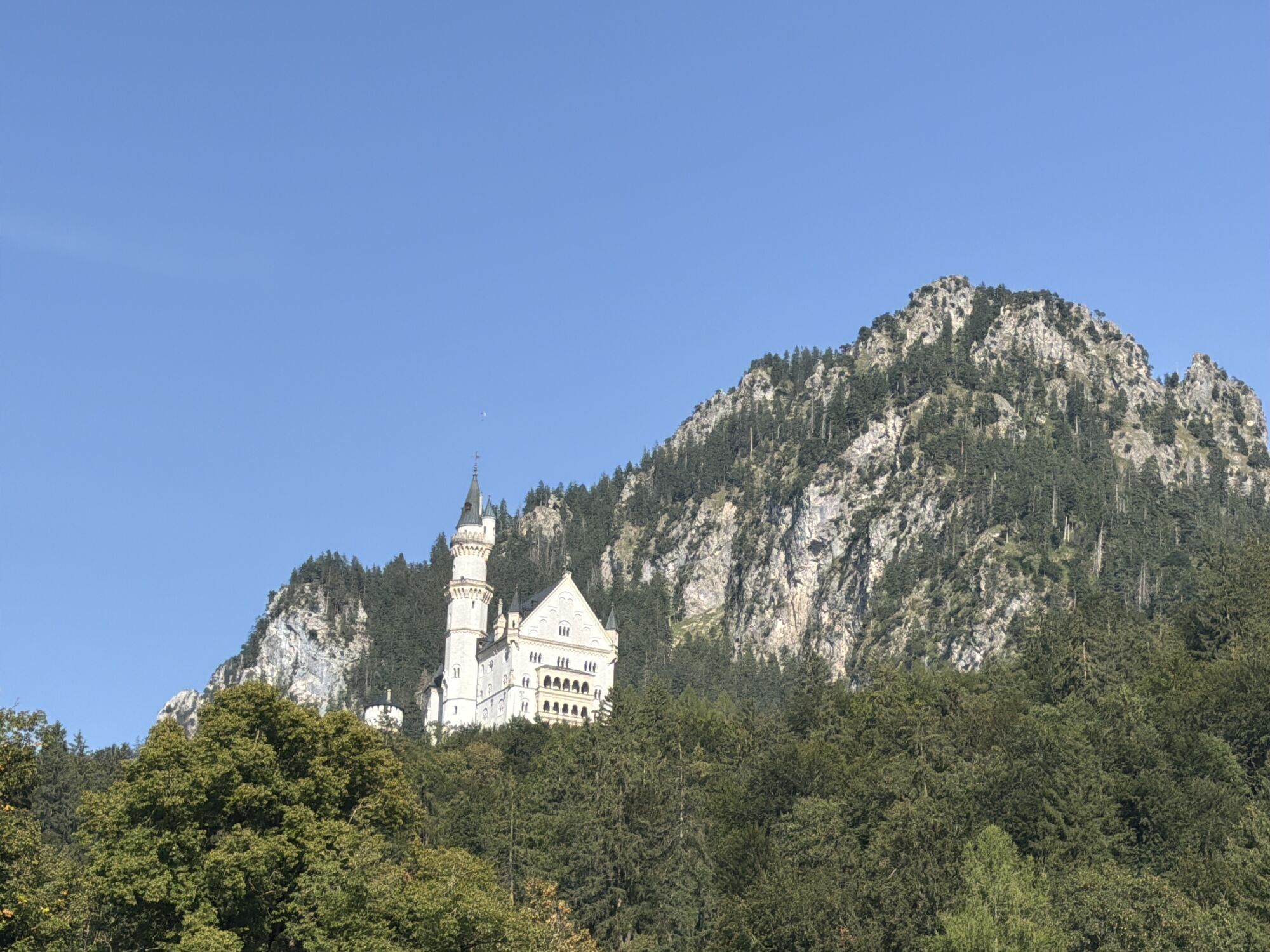
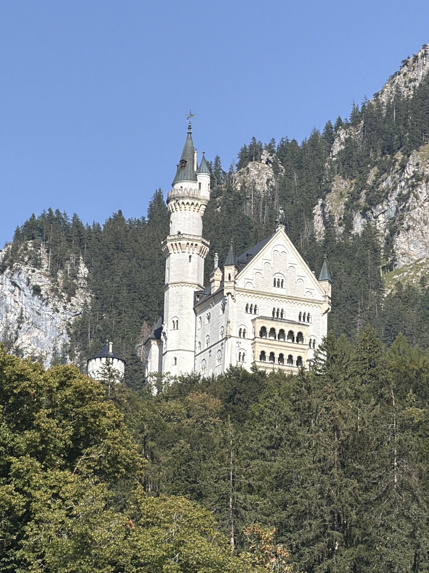
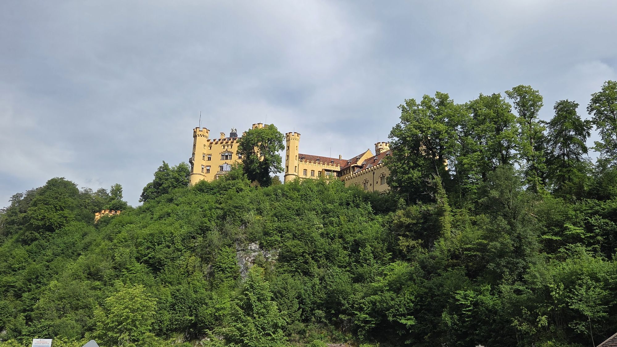
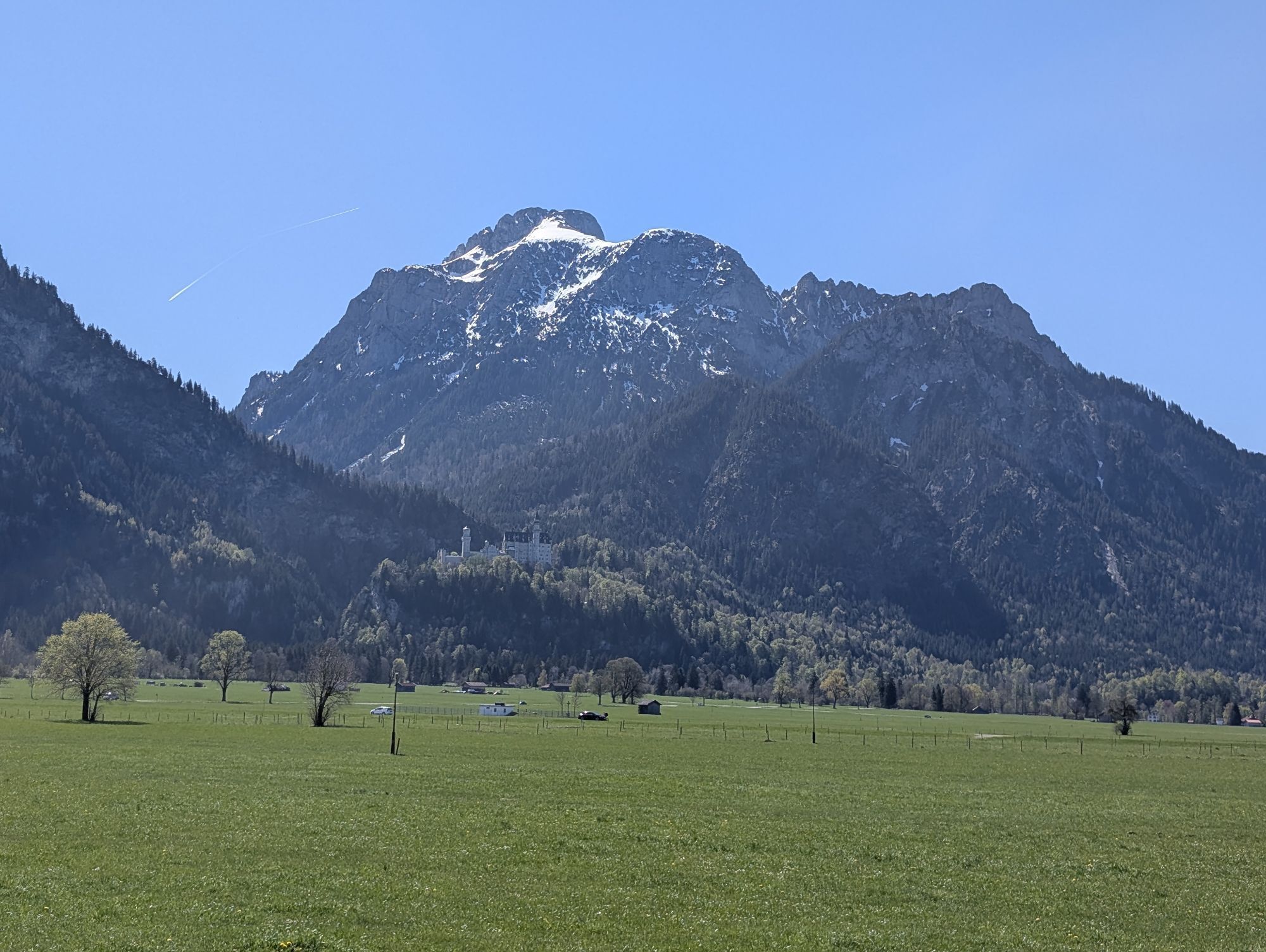
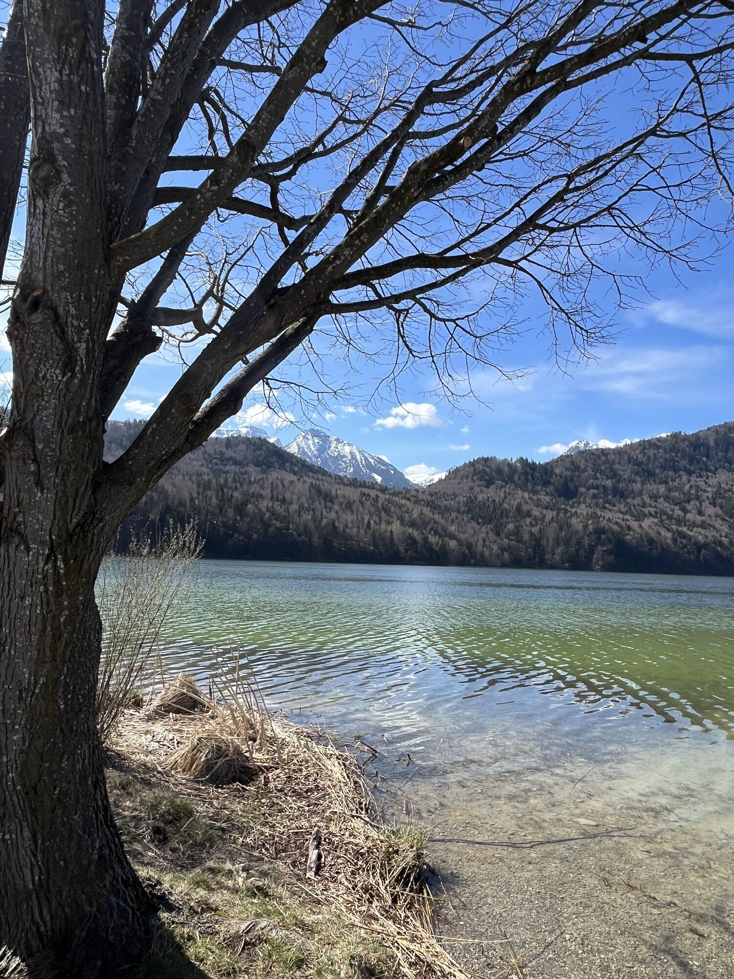
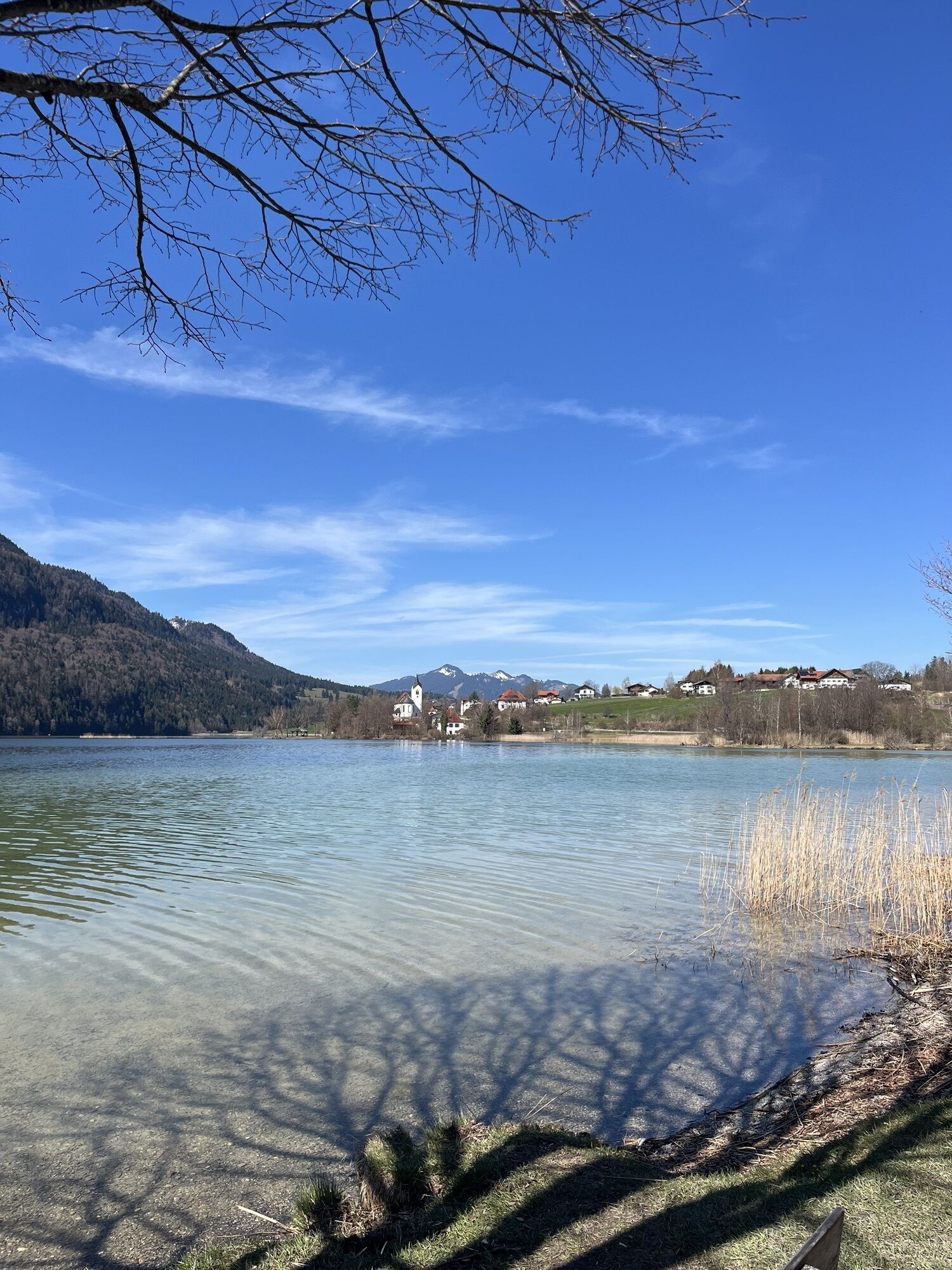
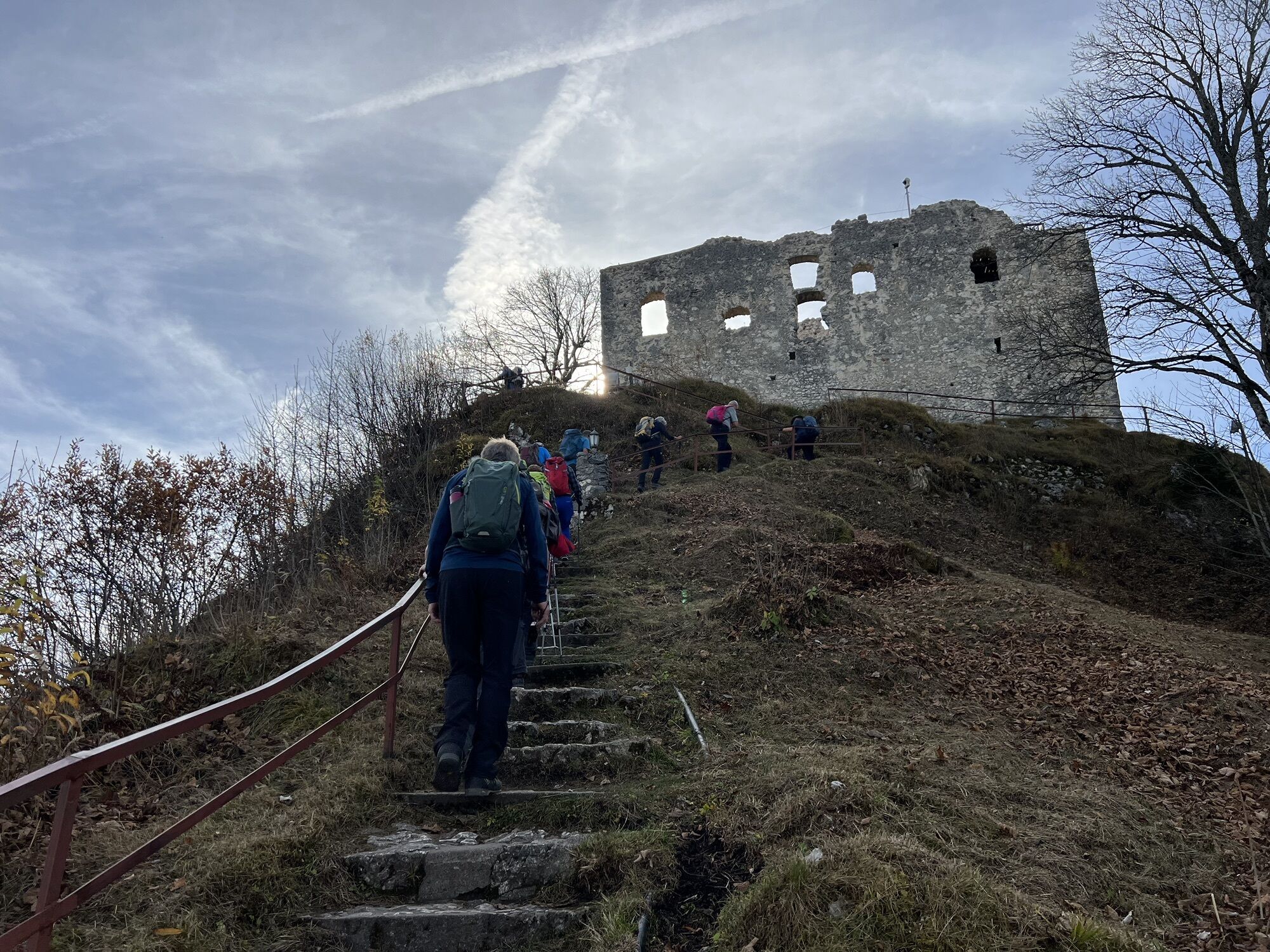
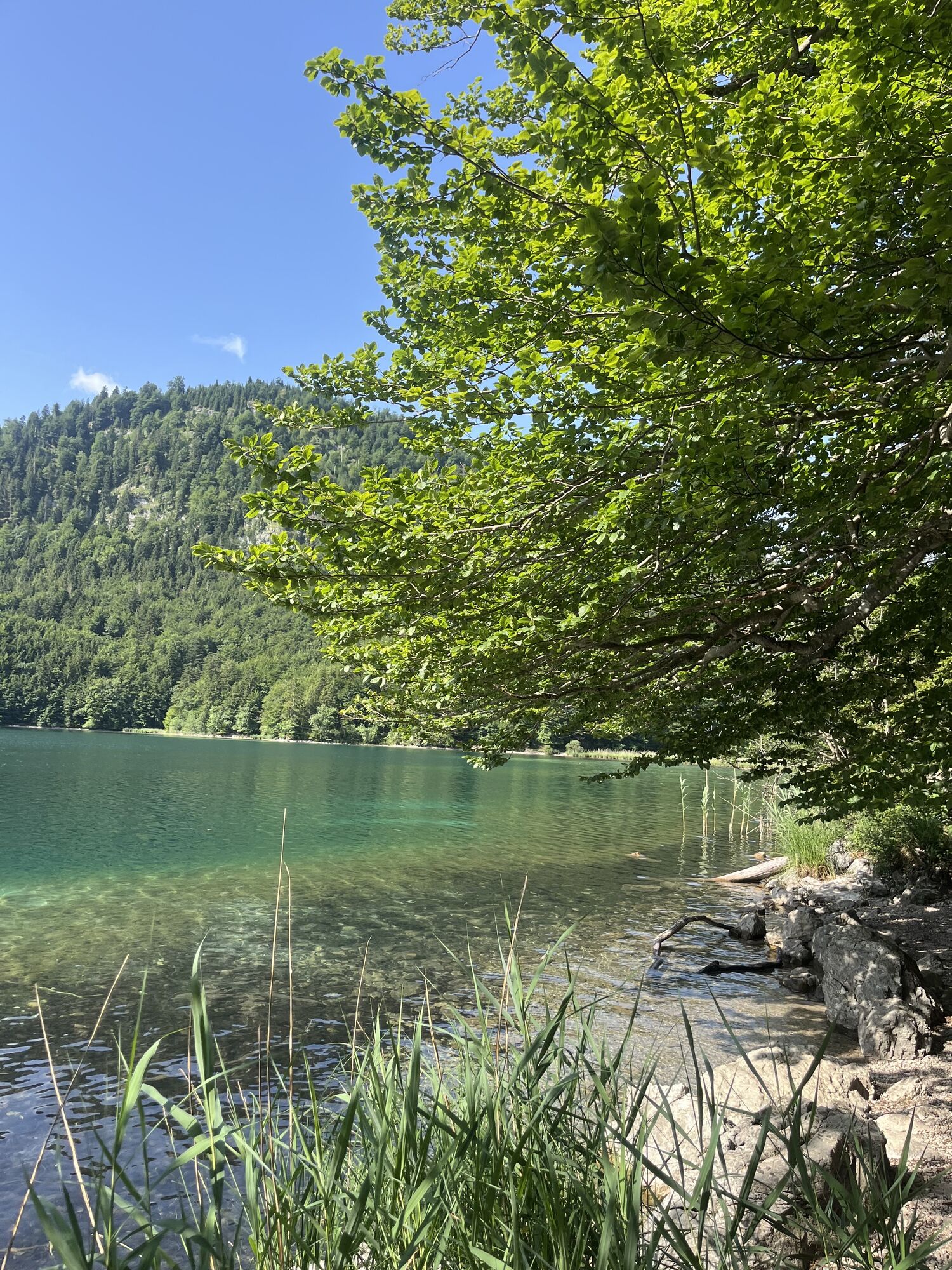
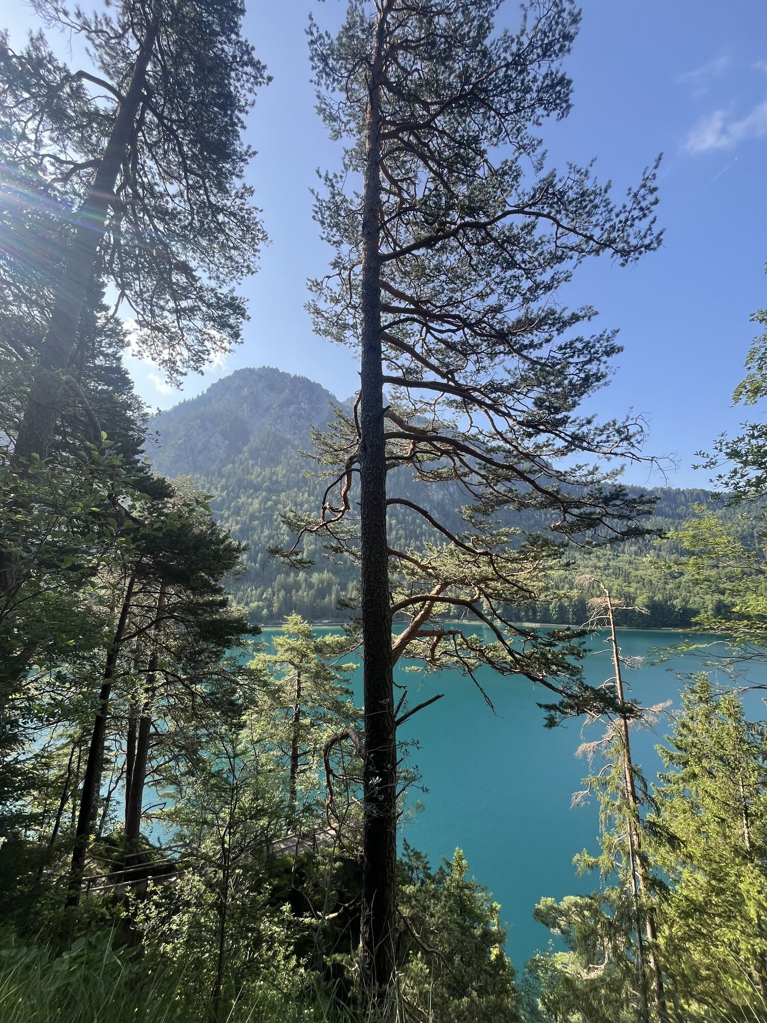
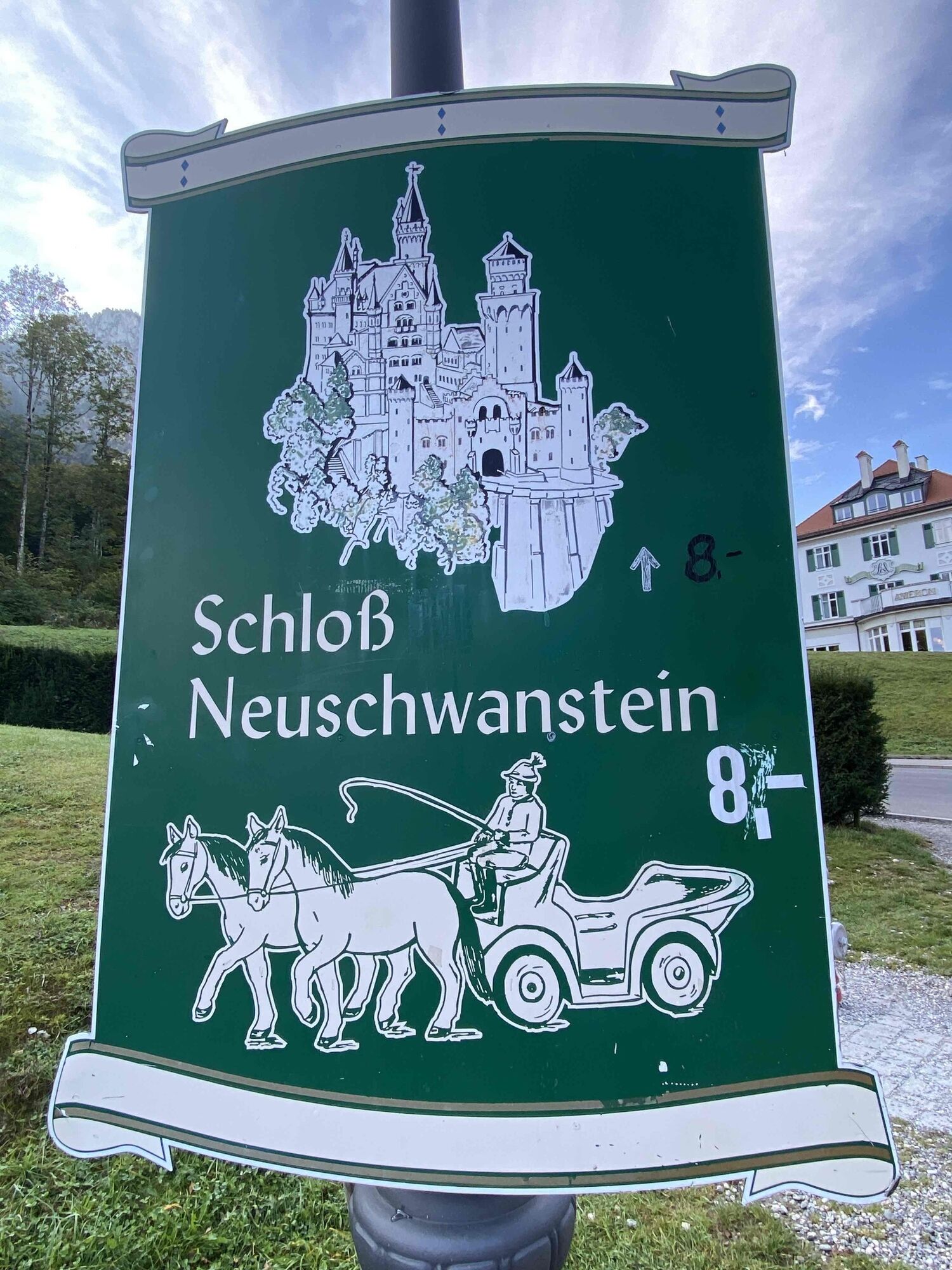
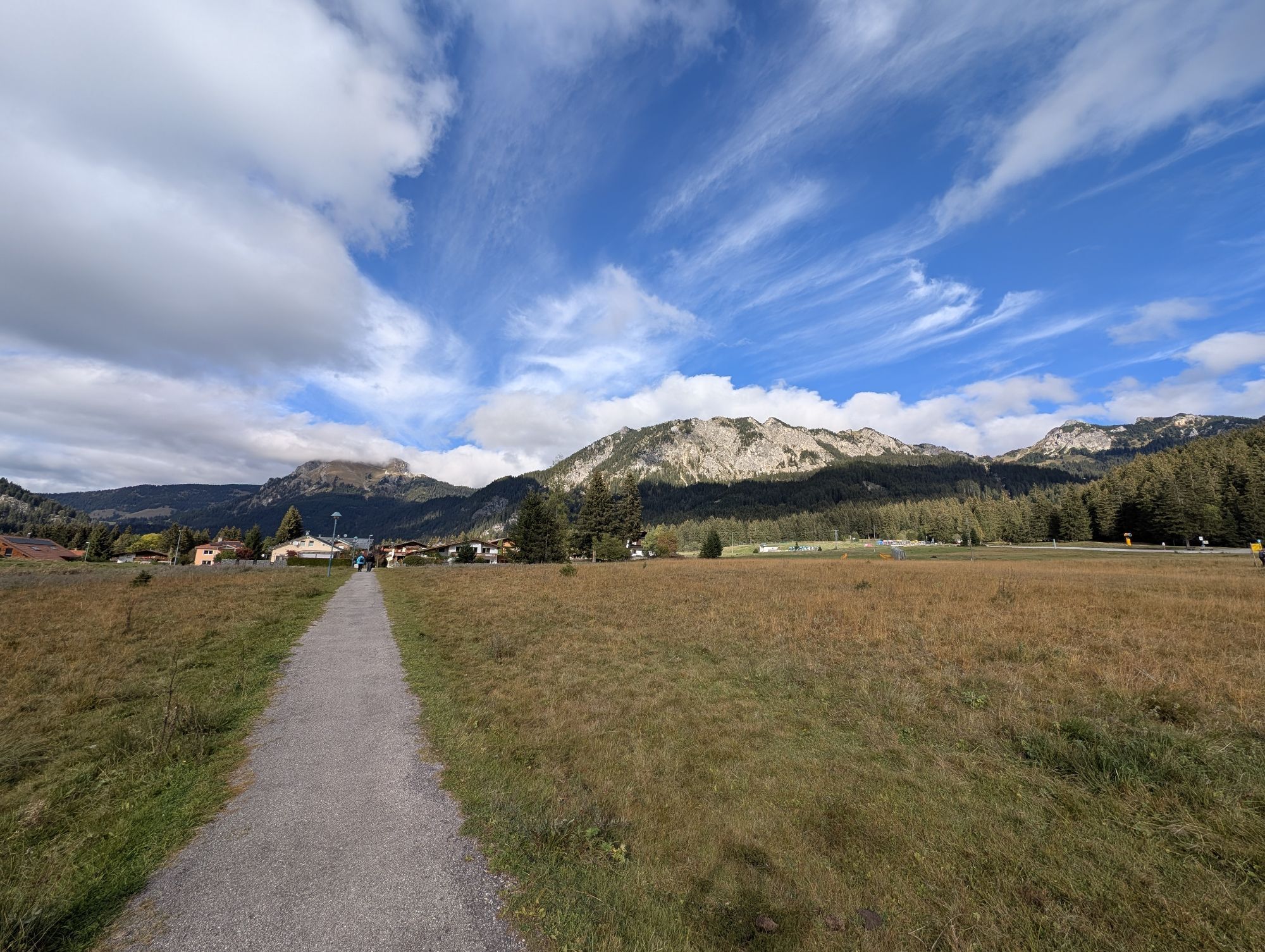
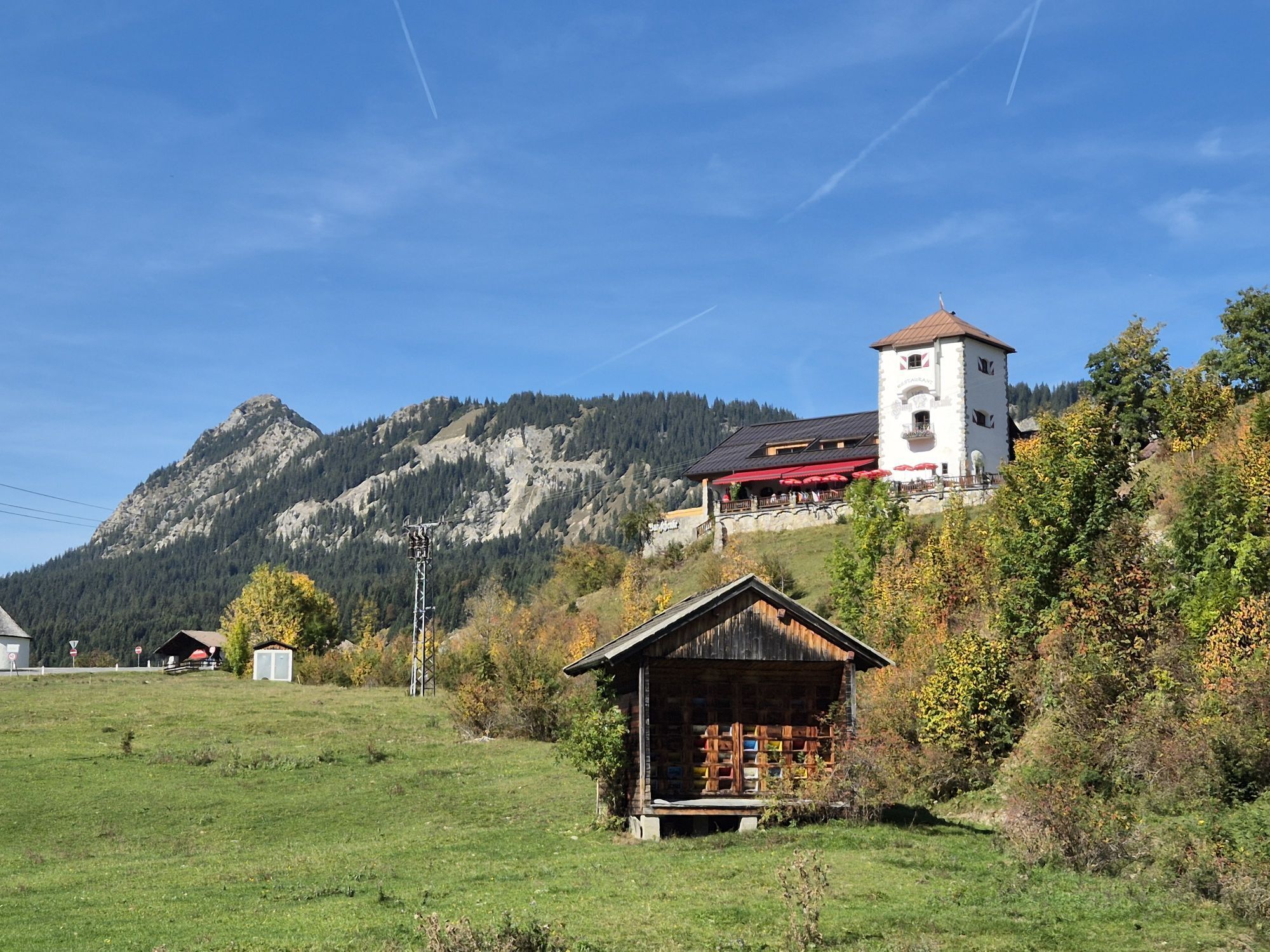
Start at the Tourism Information Office in Tannheim towards the East. At the intersection Grän/Haldensee turn left on to the Road L261 through the Engetal (valley) downhill to Pfronten to the main street. Turn left and at the center of town after a 90-degree left curve, turn right towards Füssen. In Pfronten-Meilingen, turn right towards the Falkenstein. There is an ascent to the ruins of Falkenstein Caslte. Once at the top oft he highest point in this tour, take the same road back down and turn right at the intersection. Turn right at the traffic circle and head towards Weißensee on the main road. At the end of the lake, turn right on a rather small hidden road uphill to Lake Alatsee. Ride along the lake shore through the Faulenbach Valley to Bad Faulenbach and on towards Füssen, heading toward the historic old town. In the center of Füssen, continue on in the direction Munich/Augsburg. In Alterschrofen, turn left towards Schwangau, past the Bullachberg Castle. At the crossing turn left to Schwangau. In the center of Schwangau head towards Augsburg taking a right. At the end of town, turn right to Hohenschwangau. In Hohenschwangau, keep to the right. Head towards Pinswang, Austria. Ride past the Alpsee uphill to Pinswang. ATTENTION: ca. 1.5 km Nature Trail-unpaved and winding in parts! In Pinswang, keep to your right until the Lechbrücke (bridge over the Lech River) and turn right after crossing headed to the city of Vils and further on to Pfronten. After passing the church in Pfronten-Steinach, turn right towards the Tannheim Valley uphill through the Engetal on the Road L261 to Grän. At the intersection Grän/Haldensee, turn right back to Tannheim and the starting point.


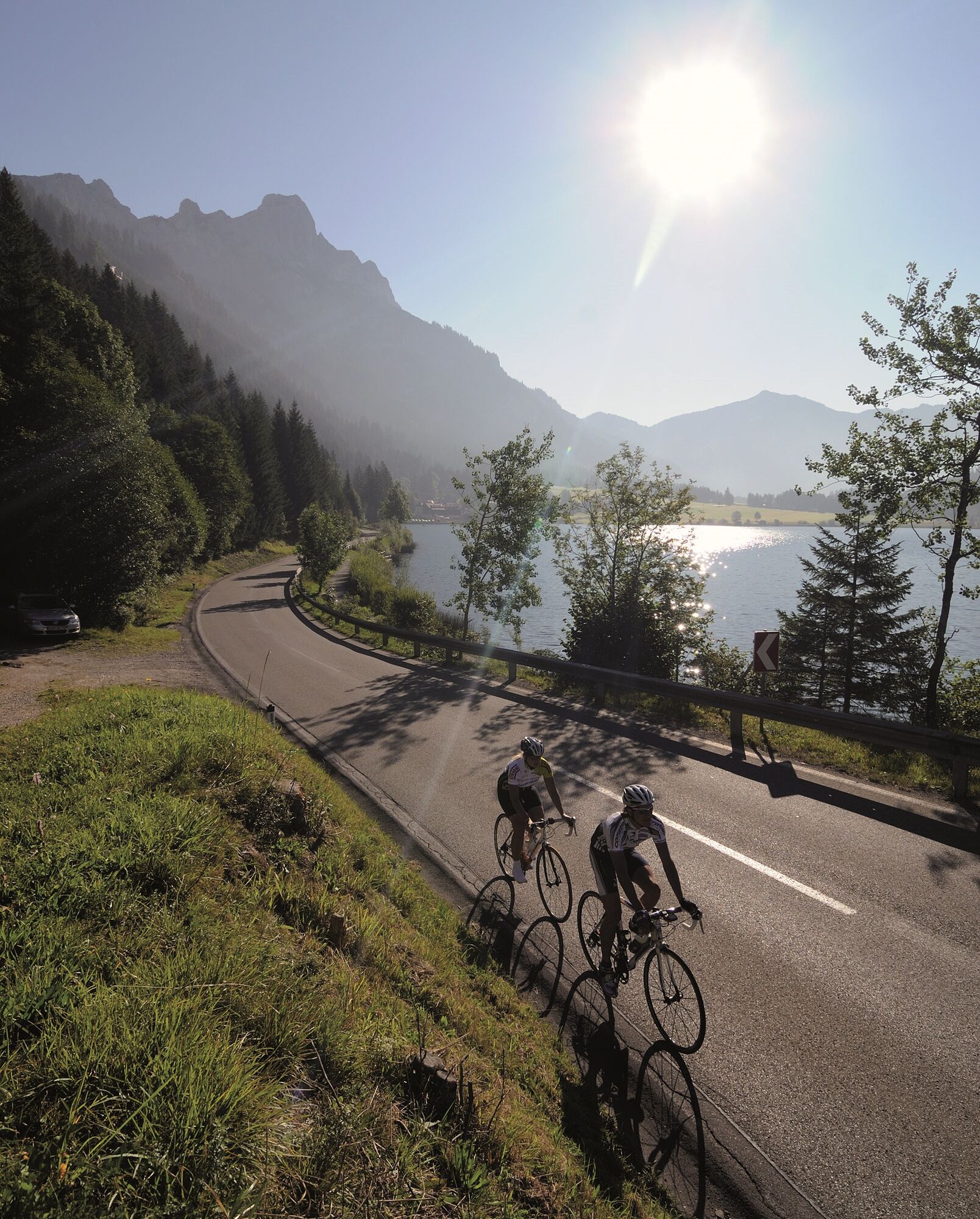
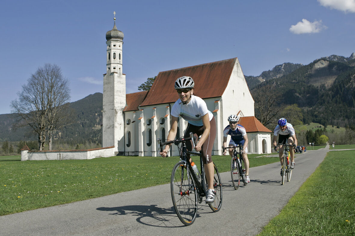
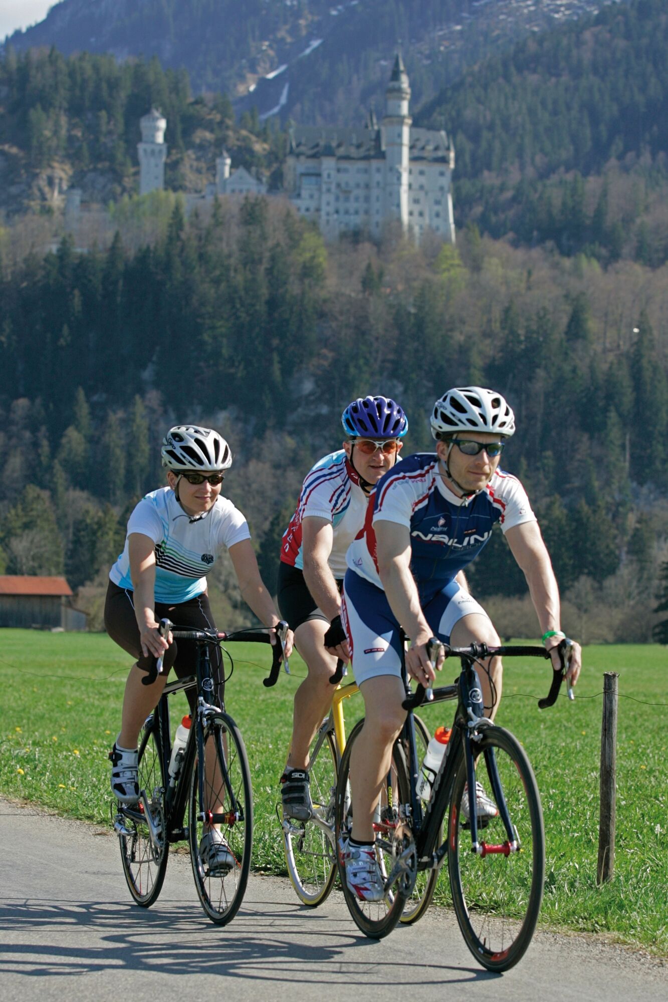

Start bei der Tourismusinformation in Tannheim in Richtung Osten. An der Kreuzung Grän/Haldensee links abbiegen auf die L261 und durch das Engetal zum ehemligen Zollamt Fallmühle hinab nach Pfronten bis zur Hauptsraße. Links abbiegen und in der Ortsmitte nach einer 90 Grad Linkskurve rechts abbiegen Richtung Füssen. In Pfronten-Meilingen rechts abbiegen Richtung Falkenstein. Es folgt ein Anstieg zur Ruine Falkenstein. Oben angekommen, der höchste Punkt der Tour, denselben Weg zurück und bei der Kreuzung rechts abbiegen. Beim Kreisverkehr rechts und dem Straßenverlauf folgend bis zum Weißensee. Am Ende des Sees rechts abbiegen zum Alatsee. Am Seeufer entlang durch das Faulenbachtal bis nach Bad Faulenbach und weiter Richtung Füssen, Richtung historische Altstadt. In der Ortsmitte von Füssen weiter in Richtung München/Augsburg. In Alterschrofen links abbiegen Richtung Schwangau, vorbei am Anwesen der Familie Thurn und Taxis. Bei der Kreuzung links abbiegen nach Schwangau. In der Ortsmitte von Schwangau rechts Richtung Augsburg. Am Ortsende rechts abbiegen nach Hohenschwangau. In Hohenschwangau rechts halten Richtung Pinswang und über den Alpsee nach Pinswang. ACHTUNG: ca. 1,5 km Naturstraße! In Pinswang rechts halten bis zur Lechbrücke und dort links abbiegen nach Vils und weiter Richtung Pfronten. In Pfronten Steinach nach der Kirche links abbiegen Richtung Tannheimer Tal durchs Engetal auf der L261 nach Grän. An der Kreuzung Grän/Haldensee rechts abbiegen nach Tannheim bis zum Ausgangspunkt.
Áno
Every participant rides at his/her own risk.
Traffic regulations (StVO) must be adhered to at all times.
The quickest and easiest and toll-free route to the Tannheim Valley by car leads via the A7 highway. Turn off at Exit "Oy-Mittelberg", turn right and follow the signs along state road B 310 heading toward Wertach/Oberjoch for ca. 15 kilometers. In Oberjoch turn left into the Tannheim Valley.
Train stations in Germany are: Sonthofen (24 km, bus transfer) Pfronten/Ried (16 km, bus transfer) and in Austria at Reutte (24 km with bus connection).
Parking near the cable car in Tannheim - chargeable
3
Wunderbare Einkehrmöglichkeiten entlang der Strecke.
Webové kamery z prehliadky
-
Tannheim
-
Tegelbergbahn Bergstation
-
Haldensee - Neunerköpfle
-
Skizentrum Steinach / Pfronten
-
Tegelberghaus
-
Pfronten-Halden / Hotel Zugspitzblick
-
Füssen - Wellness Hotel Sommer
-
Segelclub Füssen
-
Pfronten - Boutique Hotel Blaue Burg Falkenstein
-
Grän - Almdorf Tirol
-
Camping Hopfensee
-
Camping Hopfensee
-
Hopfen am See - Restaurant Fischerhütte
-
Pfronten - Ostlerhütte
-
Eisenberg - Burgruine
-
Grän - Hotel Bergblick
-
Schloss Hohenschwangau
-
Ludwigs Festspielhaus Füssen
-
Nesselwang - Alpspitzbahn Sportheim Böck
-
Rieden am Forggensee - Salenberghof
-
Füssener Jöchle Bergstation
-
Obere Halde
-
Forggensee
-
Tannheimertal
-
Füssen Appartementhotel Seespitz
-
Breitenbergbahn - Pfronten
-
Pfronten - Skizentrum
-
Hotel Hirsch
-
Schwangau - Schlossbrauhaus
-
Schwangau - Tegelbergbahn
-
Hopferau Burgruinen Hohenfrey- und Eisenberg
-
Haller
-
Gundhütte - Tannheimertal
-
Tegelberg Landeplatz
-
Talstation Neunerköpfle - Tannheim
-
Hopfen am See - Biohotel Eggensberger

Obľúbené výlety v okolí
-
4,9
Hiking tour to Breitenberg
ťažkéTuristika 15,6 km -
4,8
To the Bad Kissinger Hut via the Gräner Höhenweg
strednáTuristika 13,0 km -
4,7
Mountain hike to the Aggenstein
ťažkéTuristika 15,3 km -
4,7
Panorama route to the Ostlerhütte
strednáTuristika 5,11 km -
4,7
Forggensee round
strednáCyklistika 32,5 km -
4,6
Around Weißensee
svetloTuristika 6,12 km -
4,5
Circular hike Dreh- and Rohrkopfhütte
svetloTuristika 8,76 km -
4,1
Drehhütte
svetloTuristika 3,34 km -
4,6
Yellow Wall Trail, Tegelberg (A)
strednáVia ferrata 3,65 km -
4,9
Tegelberg | Branderschrofen | Neuschwanstein
strednáTuristika 14,8 km
Turistika a stopovanie


Nenechajte si ujsť ponuky a inšpiráciu na ďalšiu dovolenku
Vaša e-mailová adresa bol pridaný do poštového zoznamu.





