


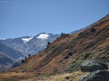
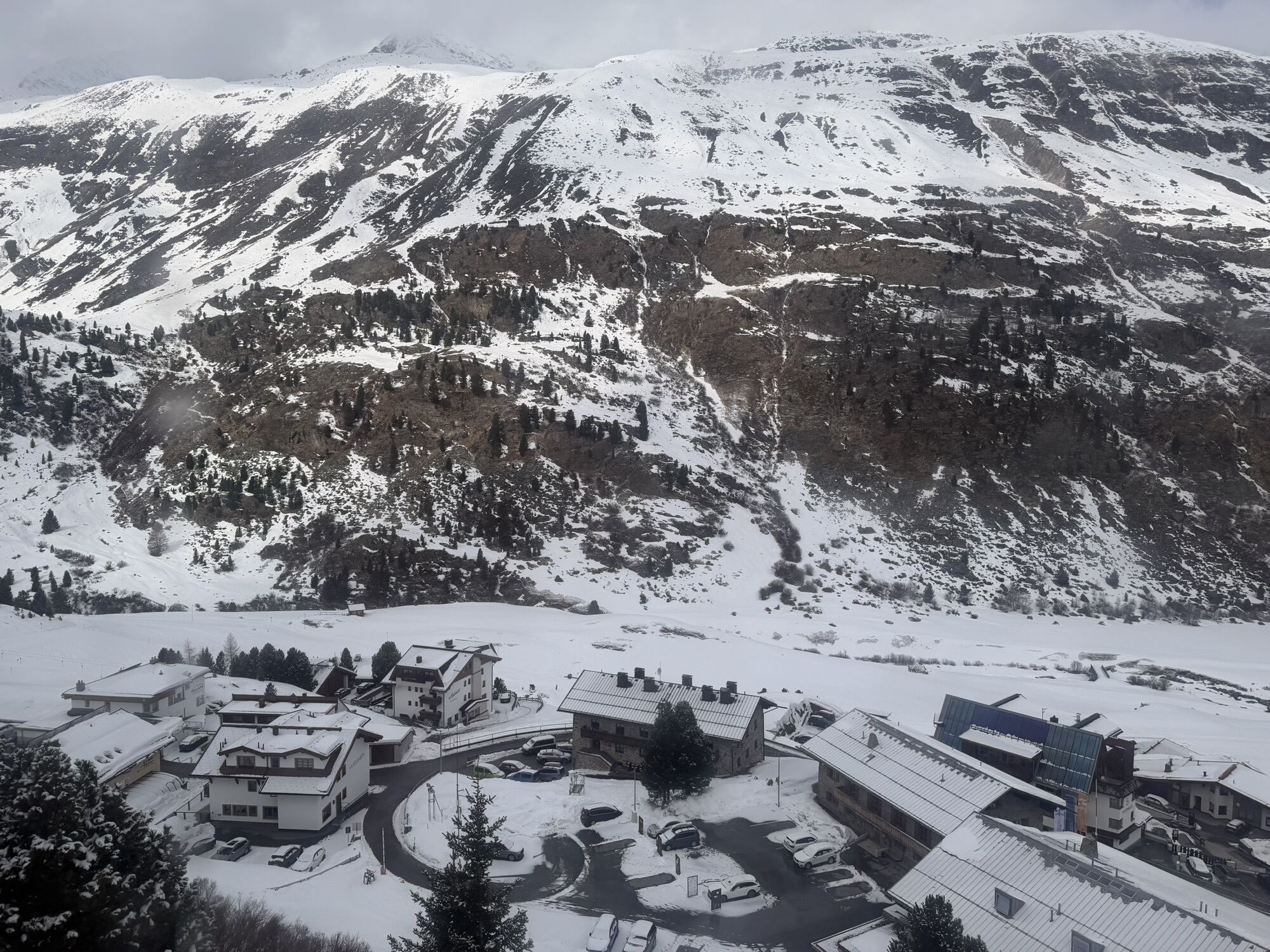
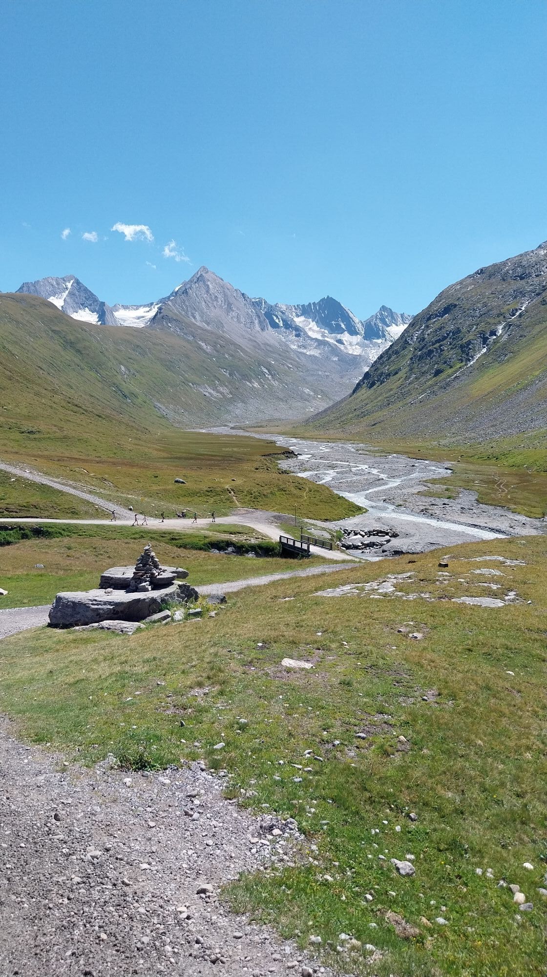
Eiskögele from Rotmoostal
Fotografie našich používateľov
-

 © Arnd MuenkerVytvorené dňa 22.03.2026
 -
 © Arnd MuenkerVytvorené dňa 22.03.2026
 -
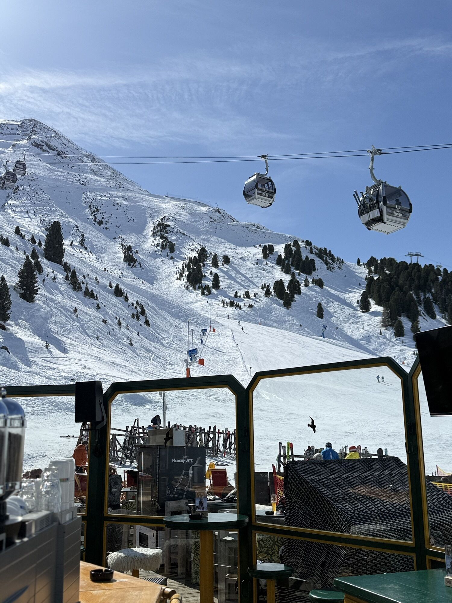
 © J GelukVytvorené dňa 10.03.2026
 -

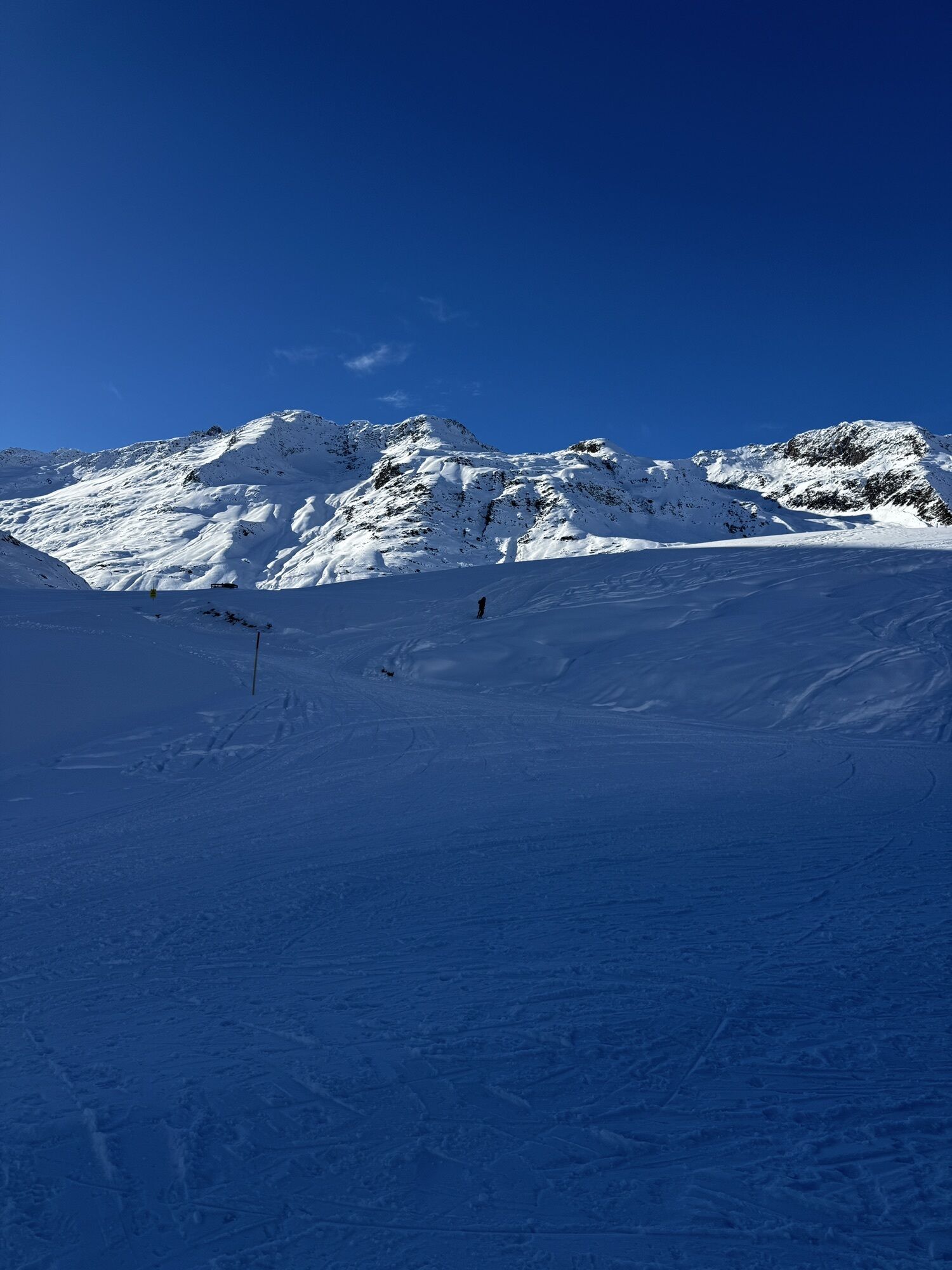
 © Paua BärVytvorené dňa 07.02.2026
 -
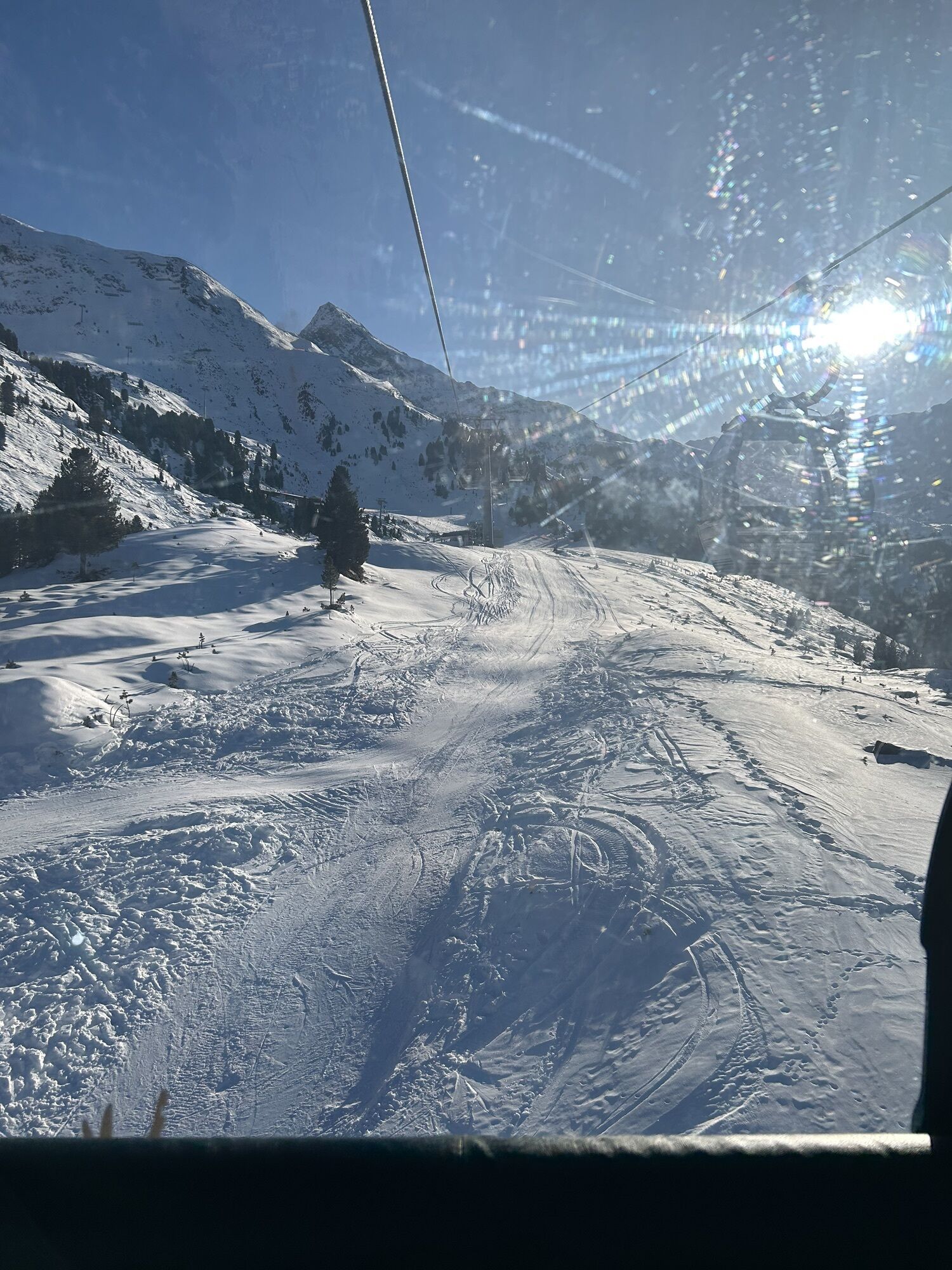
 © Paua BärVytvorené dňa 07.02.2026
 -
 © Paua BärVytvorené dňa 07.02.2026
 -
 © Remy SchiebelhoutVytvorené dňa 21.01.2026
 -
 © Ansgar FrommeyerVytvorené dňa 29.08.2025
 -
 © Hanno MenzVytvorené dňa 20.09.2025
 -
 © Hanno MenzVytvorené dňa 20.09.2025
 -
 © Desirée AuerVytvorené dňa 08.08.2025
 -
 © Desirée AuerVytvorené dňa 08.08.2025
 -
 © okidoki1980Vytvorené dňa 06.08.2025
 -
 © okidoki1980Vytvorené dňa 06.08.2025
 -
 © okidoki1980Vytvorené dňa 06.08.2025
 -
 © okidoki1980Vytvorené dňa 06.08.2025
 -
 © okidoki1980Vytvorené dňa 06.08.2025
 -
 © Bastiaan StruijkVytvorené dňa 01.08.2025
 -
 © Jonas KaufmannVytvorené dňa 27.07.2025
 -
 © Denise JennissenVytvorené dňa 26.08.2023
 -
 © Ralf UmmingerVytvorené dňa 02.07.2023
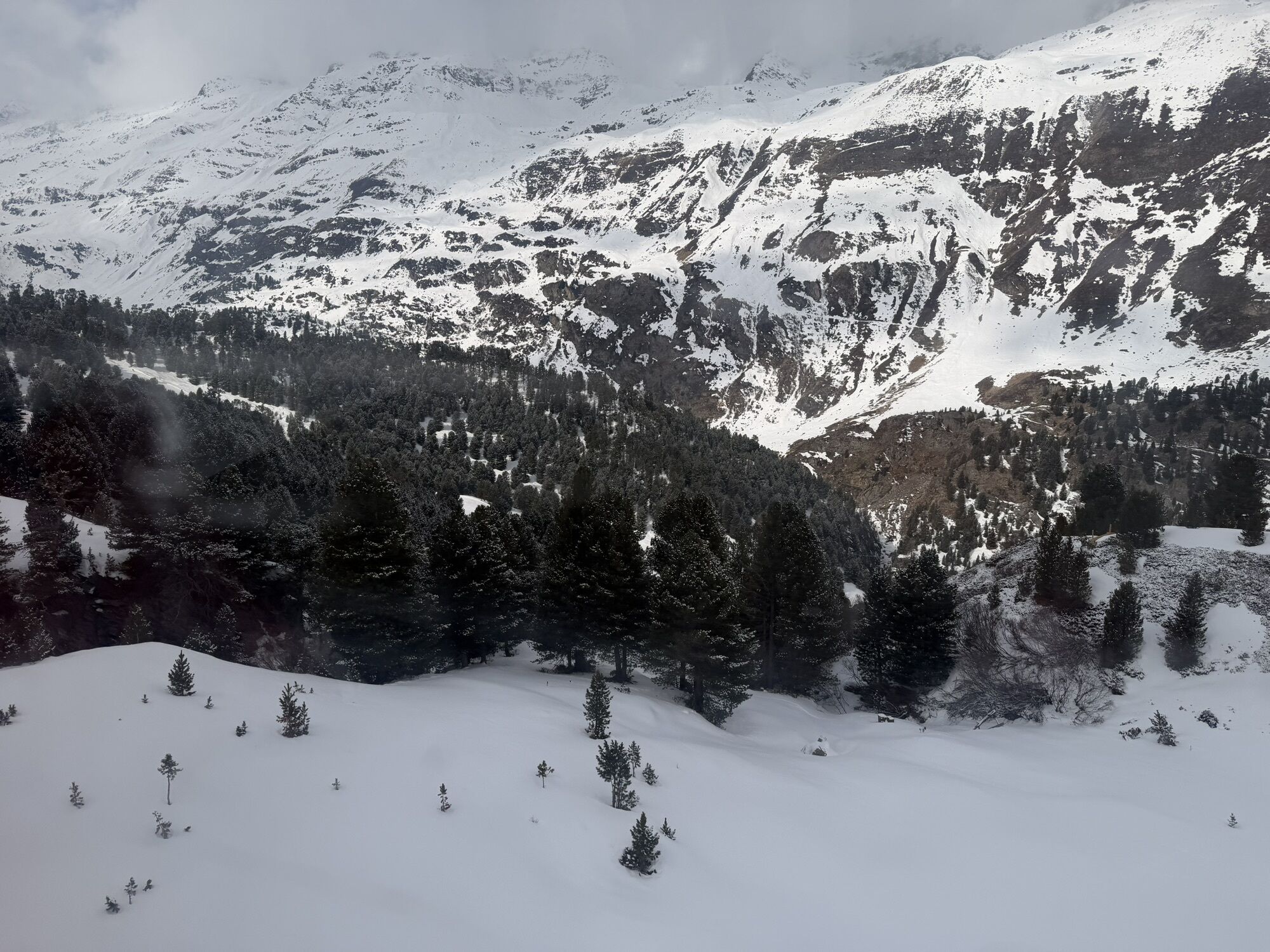


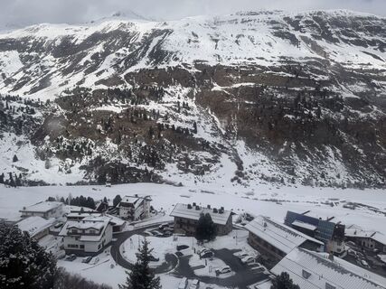
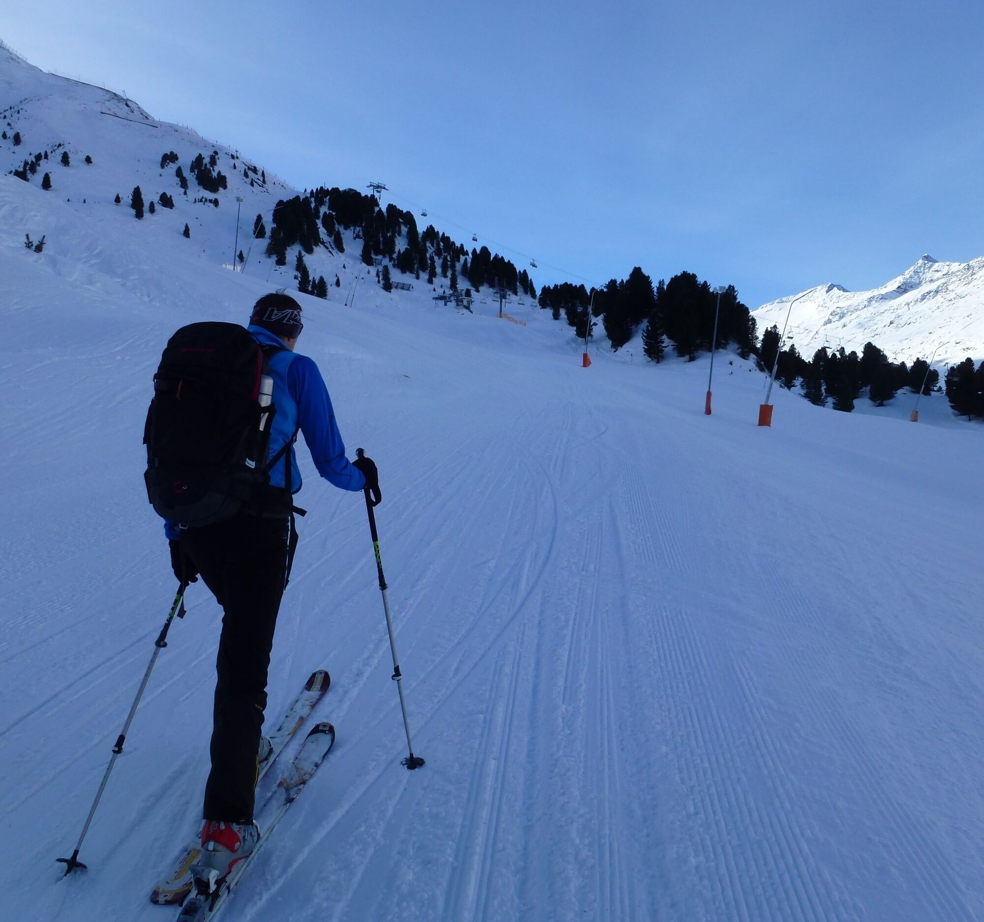
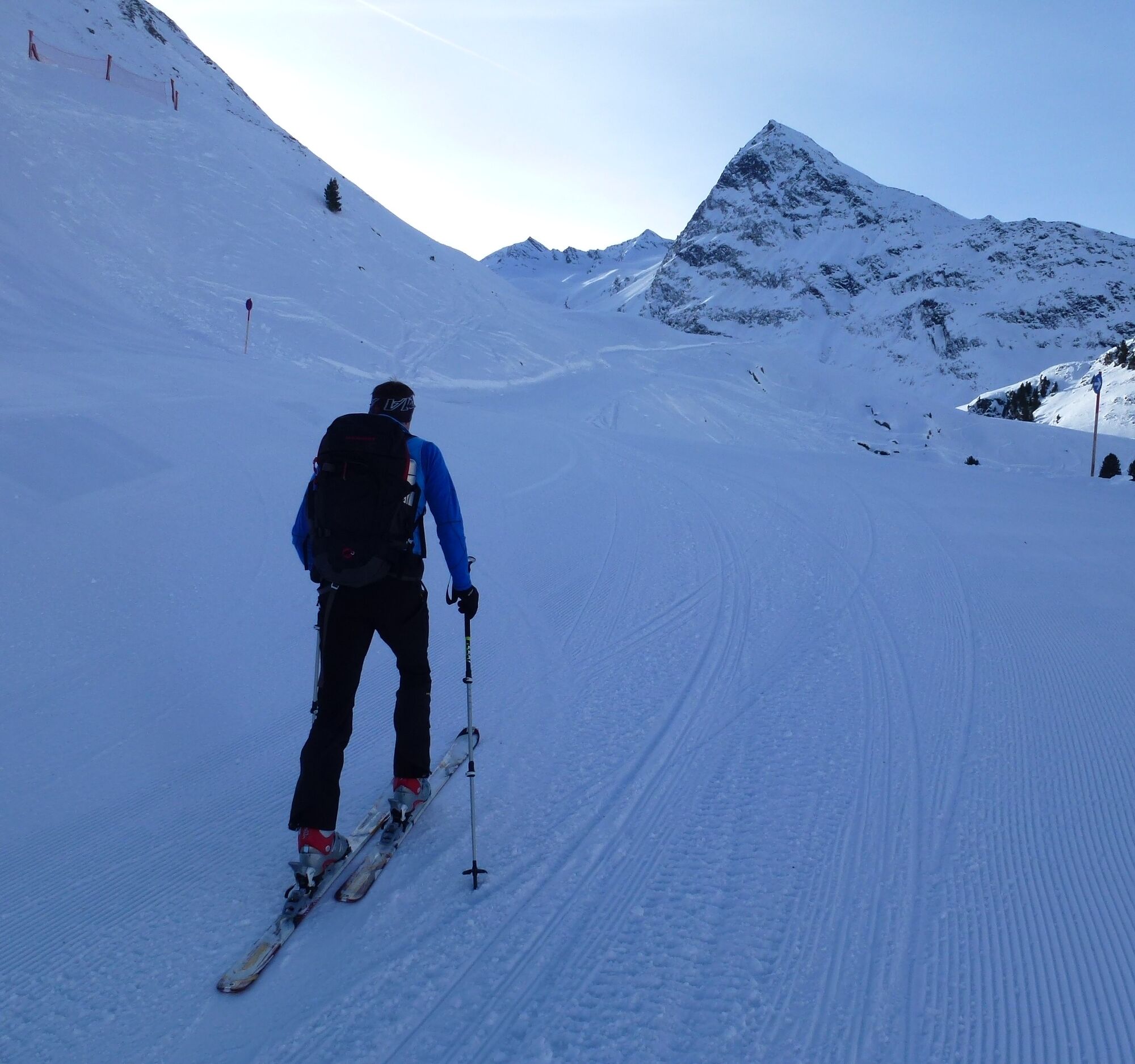
The Eiskögele 3233m is one of the most visited ski tour summits in the area around Obergurgl. The route from the Rotmoostal is considered not only as a day tour but also as a crossing to the Langtaleregghütte...
The Eiskögele 3233m is one of the most visited ski tour summits in the area around Obergurgl. The route from the Rotmoostal is considered not only as a day tour but also as a crossing to the Langtaleregghütte 2430m, or many ski tourers include the Eiskögele 3233m on their way back to Obergurgl from the Langtaleregghütte 2430m. Accordingly, the slopes of Eiskögele 3233m over the Hangererferner down into the Rotmoostal quickly become tracked. On a day tour, you have to overcome about 1300 meters of altitude gain from Obergurgl. Under favorable avalanche conditions, especially in spring when the west slopes of Hohe Mut 2659m are hard frozen in the morning, you can save about 300 meters of ascent.
Ascent: 3 hrs
Descent: 30 min.
Local Avalanche Situation for Eiskögele / Obergurgl


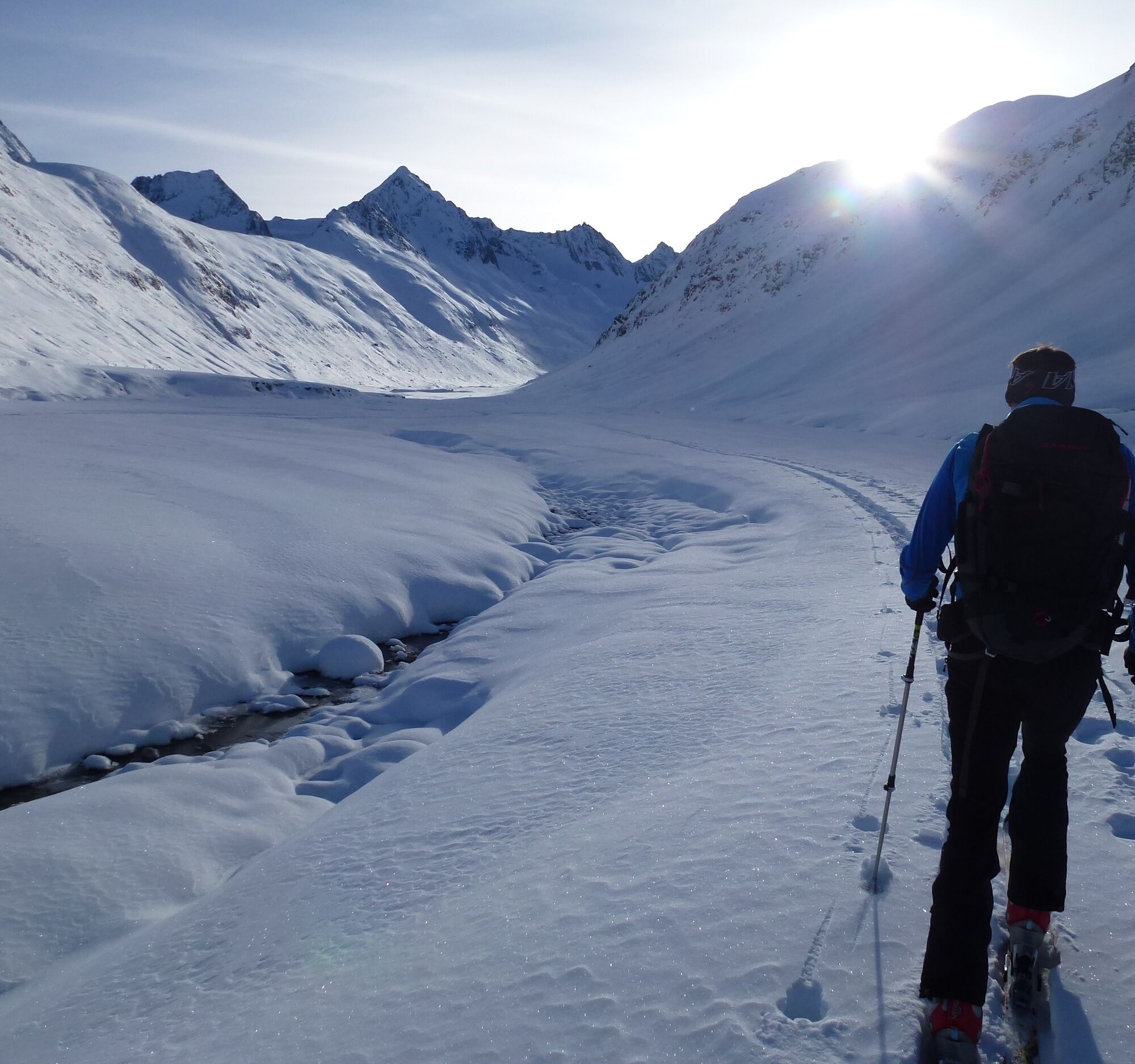
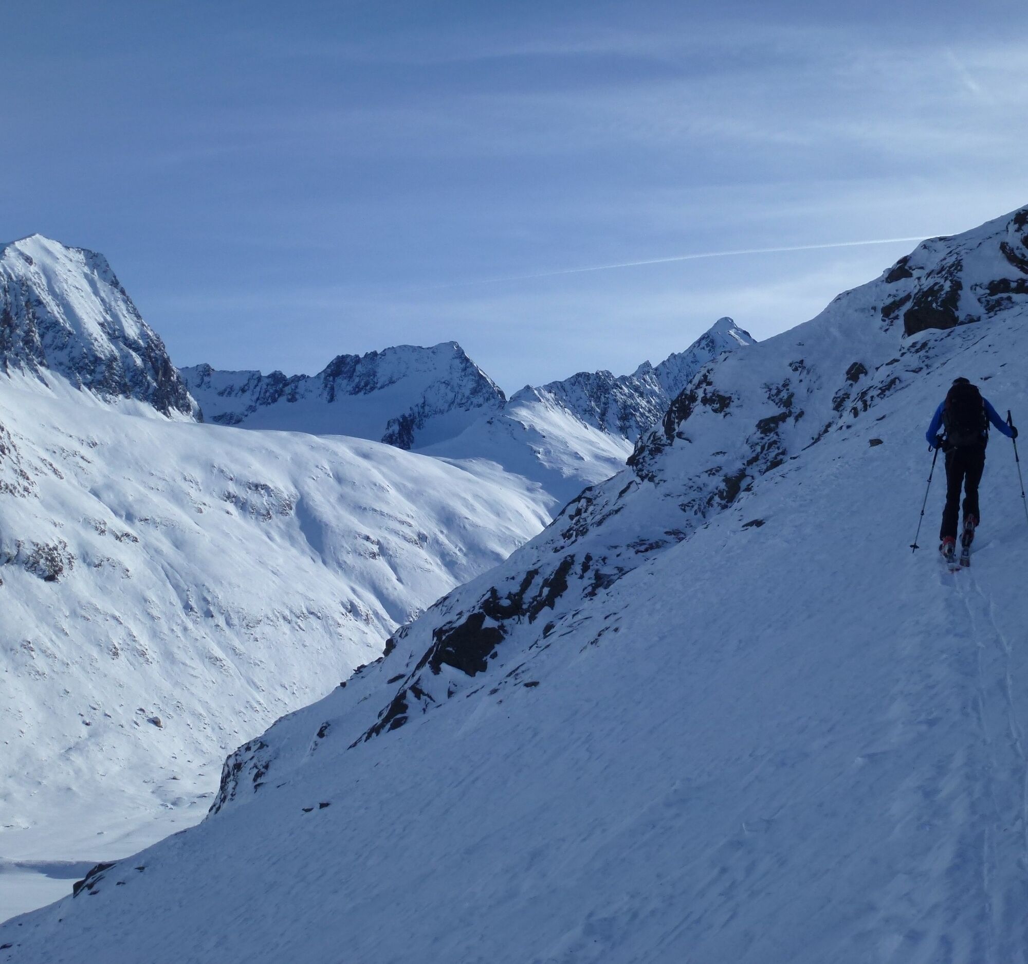
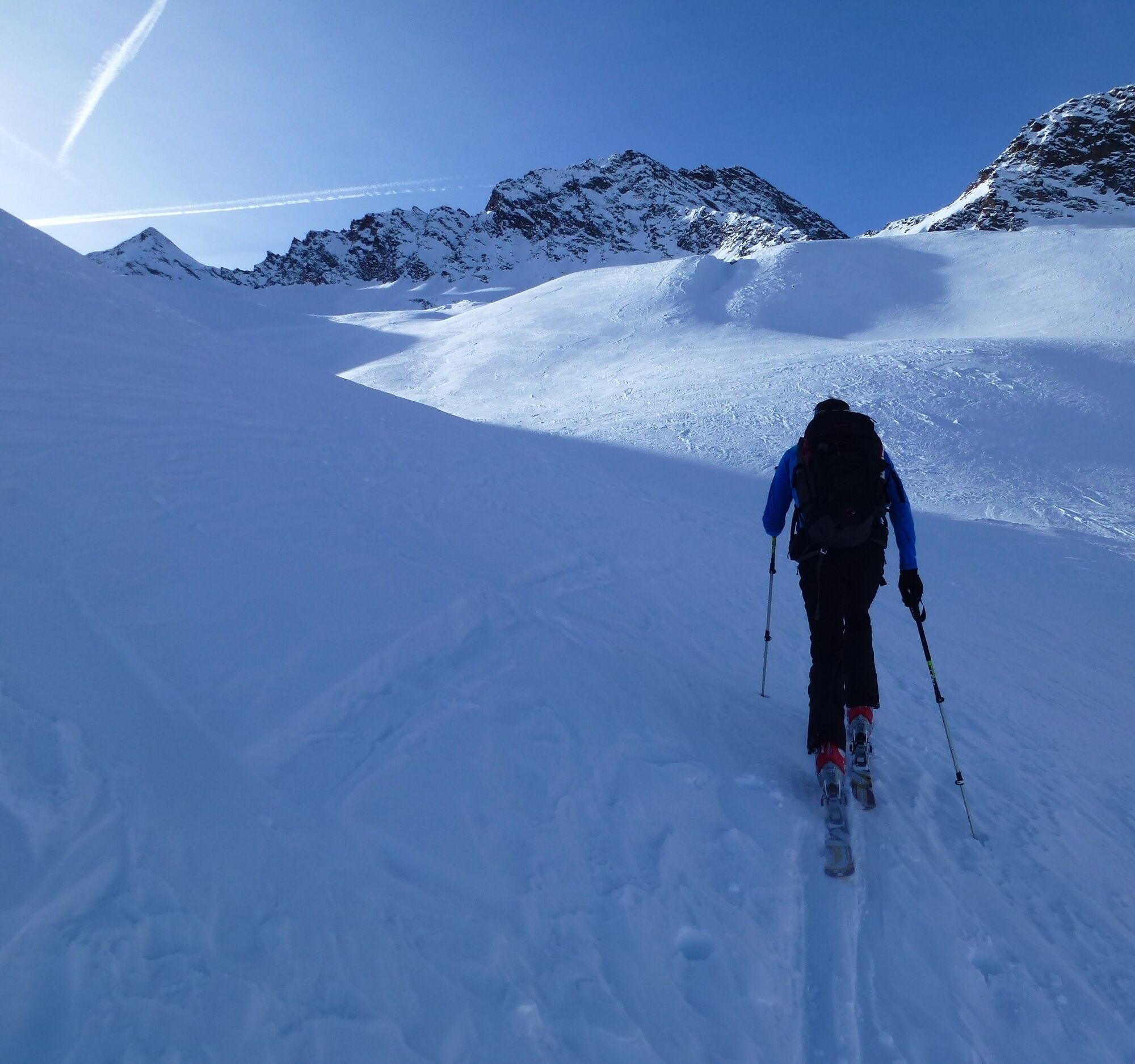
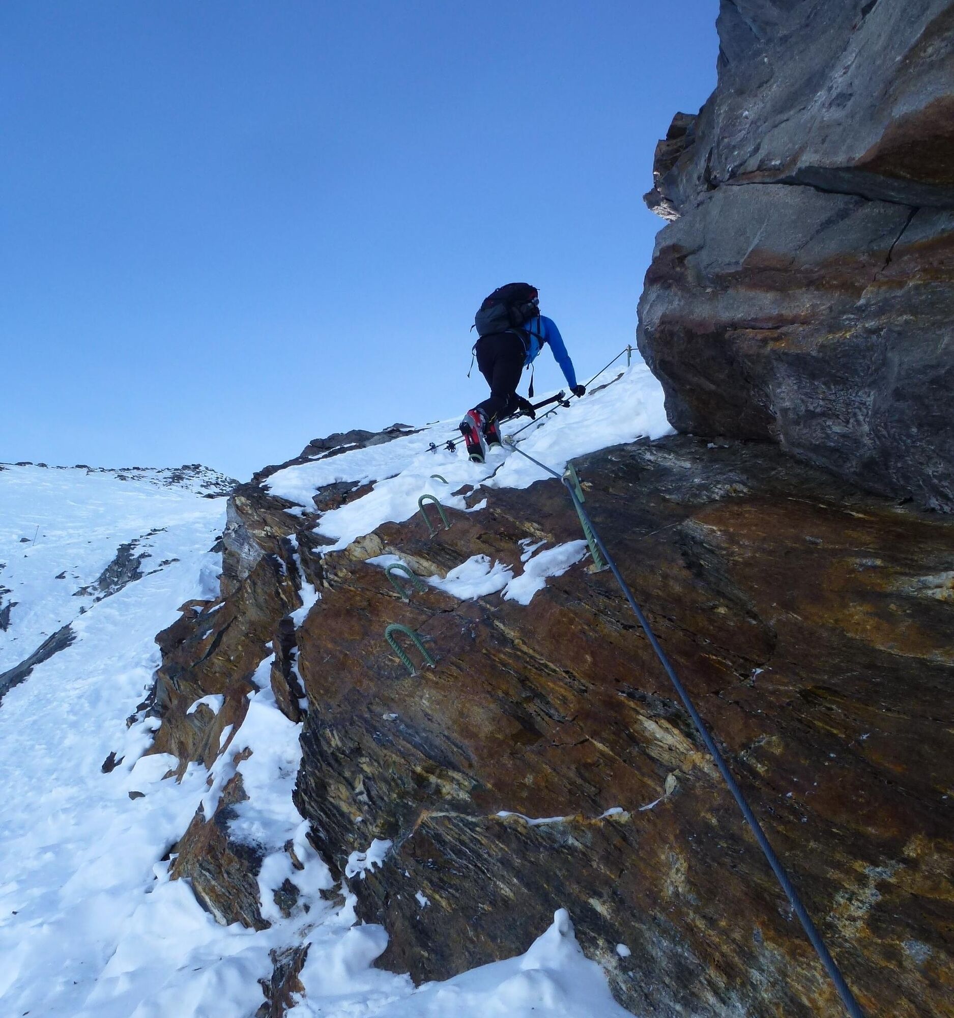
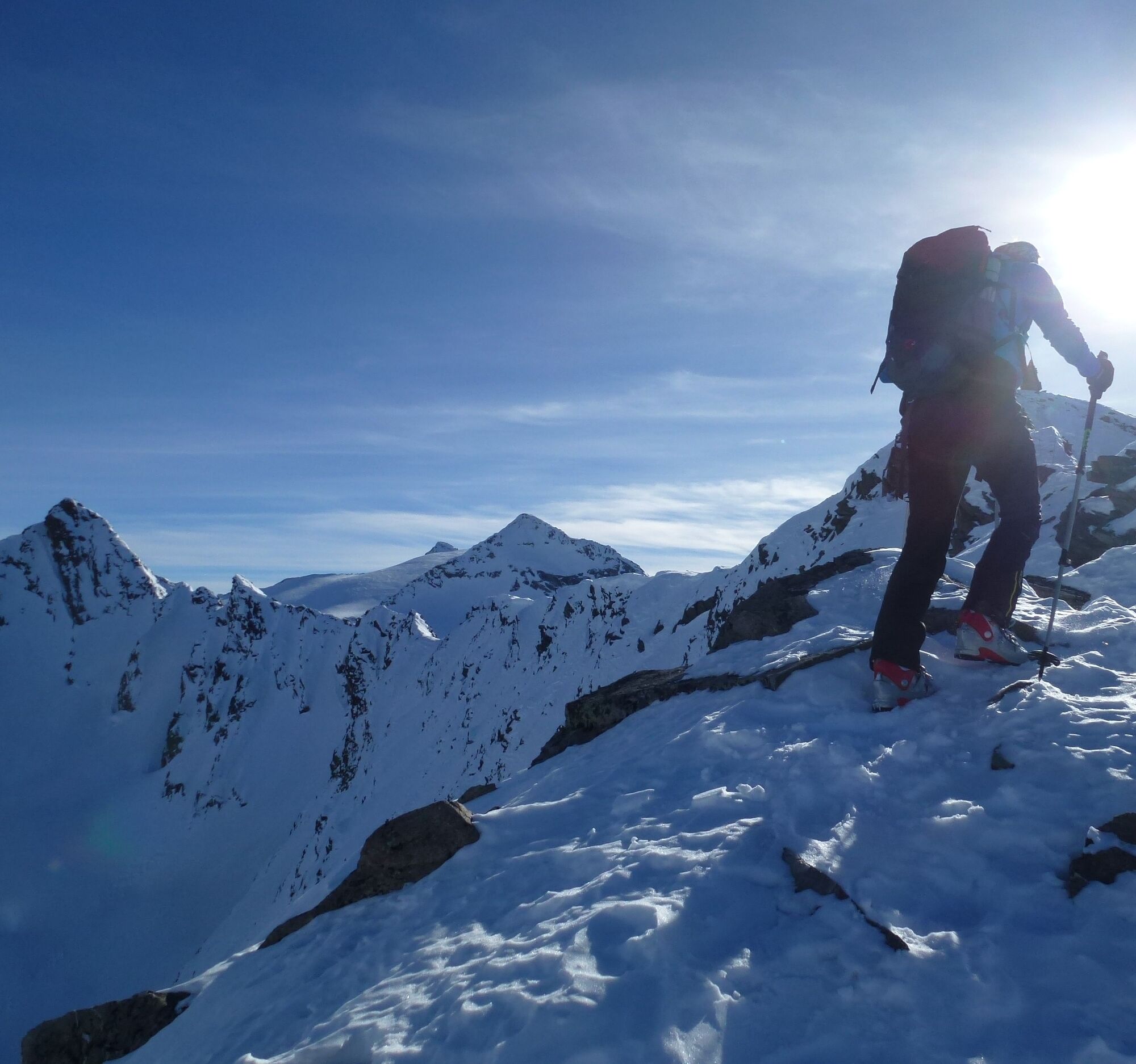
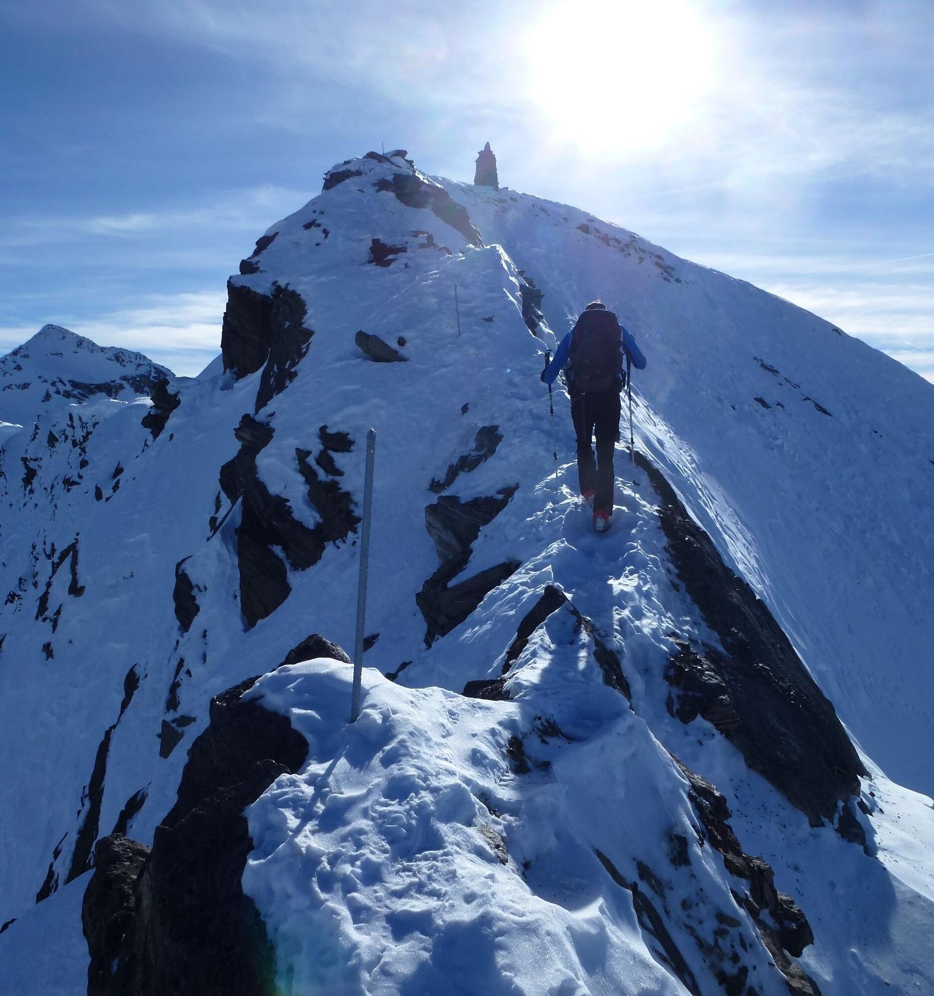
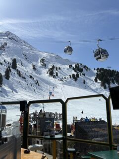
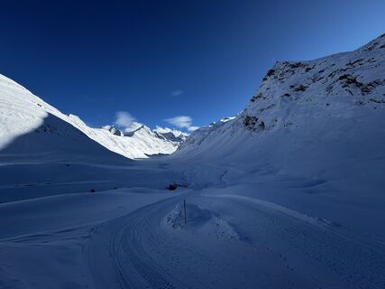
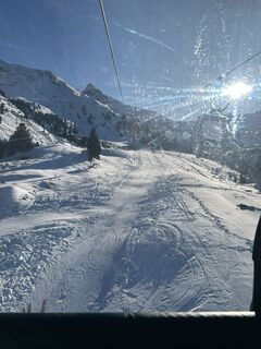
You take the Hohe Mut I + II lift up to Hohe Mut 2659m and then must descend 400 vertical meters into the Rotmoostal over terrain steeper than 35° up to 40°. In this case, the earliest possible start in Obergurgl is at 08:30, but a late start on the north slopes of Eiskögele 3233m usually poses no major problem regarding warming throughout the day. The descent from Hohe Mut 2659m into Rotmoostal must not be underestimated. In powder snow, avalanche danger must be considered, whereas in hard firn in spring, good ski edges or good skiing skills are necessary. From Rotmoostal, the most delicate section of the tour concerning avalanche danger begins immediately. The approx. 200 vertical meter, 35°, sometimes even 40° steep north slope up to the cirque of the Hangererferner absolutely requires stable avalanche conditions. Additionally, potential spontaneous avalanche releases from the northeast face of the Hangerer 3020m must always be taken into account. Afterwards, the route continues over beautiful and not too steep terrain to the start of the Hangererferner and then over it to the summit ramp of Eiskögele 3233m, steeper than 40°, which leads into the short but very exposed north ridge of Eiskögele 3233m. With low snow depths, the ski depot will certainly be established in the area of the marginal crevasse where the north face strongly splits. Then the well-secured ascent through a rock wall will be clearly visible and able to be used. After this short rock step, it continues once again on foot to the start of the north ridge. On the north ridge itself, good surefootedness and a head for heights are required to easily reach the summit. Iron bars, if not snow-covered, provide additional security. With greater snow depths, the ascent from the ski depot may look completely different. Then one can climb on foot directly from the ski depot. Good skiers can carry their skis to the start of the north ridge and then ski down from there. With large snow depths, the north ridge can also present as a pure snow cornice ridge, which, however, does not necessarily make the ascent easier. Avoiding the west flank of the Inner Hochebenkar is never advised, as smooth and steeply descending rock slabs are present there. The ascent should always be via the north ridge!
Recommended Ski Touring Equipment
The "normal ski touring equipment" consists of touring skis with touring bindings, telescopic poles, climbing skins, crampons, digital avalanche transceiver, avalanche shovel, avalanche probe, first aid kit, and a mobile phone. A "complete glacier equipment" consists of harness, two prusik loops of different lengths or ascenders, two HMS carabiners, ice axe, crampons, and a rope. A backpack with appropriate contents should be carried, including change of clothes, sun protection, cold protection, food, and enough to drink! For overnight stays in huts, do not forget to take hygiene articles and a hut sleeping bag!
DIFFICULTY RATING
Easy: Easy, short to moderately long tours with ascents that do not exceed 25° or only briefly exceed it. Medium: Medium difficulty, moderately long to long tours with ascents that do not exceed 35° or only briefly exceed it. Difficult: Difficult, long to very long tours with ascents reaching 40° or more, and climbing sections up to UIAA grade II.Avalanche Danger Scale
1 (LOW)
An avalanche release is only possible under heavy additional load on very few, extreme steep slopes. No spontaneous avalanches (so-called slides) are expected. Generally safe conditions.
2 (MODERATE)
An avalanche release is likely under heavy additional load especially on the indicated steep slopes. Larger avalanches are not expected. The snowpack is generally well consolidated except on some steep slopes. Careful route selection on the indicated steep slopes and slope exposures.
3 (CONSIDERABLE)
An avalanche release is already likely under light additional load mainly on the indicated steep slopes. Occasionally some medium, but also large avalanches are possible spontaneously. The snowpack on many steep slopes is only moderately to weakly consolidated. Experience in avalanche assessment is necessary. Avoid indicated steep slopes and slope exposures as much as possible.
4 (HIGH)
An avalanche release is already possible under light additional load especially on the indicated steep slopes. Occasionally many medium and multiple large avalanches occur. On many steep slopes, the snowpack is only weakly consolidated. Limit route choice to moderately steep terrain and observe avalanche runout zones. Extensive experience in avalanche assessment is necessary.
5 (VERY HIGH)
Numerous large avalanches are expected spontaneously, even in moderately steep terrain. Safe operation in ski areas is no longer possible at this warning level. The snowpack is generally weakly consolidated and unstable. Avoid tours.
Obergurgl-Hochgurgl is located in the west of Austria in the state of TIROL, in a southern side valley of the Inn Valley - the ÖTZTAL. For your arrival by car, plan the optimal travel route from your home location with the route planner online at: https://www.google.at/maps
Travel comfortably and safely by train to the Ötztal train station. The final stop or exit point is the ÖTZTAL station. Afterwards, you can conveniently and quickly continue through the entire valley to your desired destination by public transport or local taxi companies! The current bus schedule can be found at: http://fahrplan.vvt.at
The following parking options are available in Obergurgl-Hochgurgl:
Parking lot village center Obergurgl (down to the right before the church, behind the multipurpose building where the information office is located) parking meter with coin slot Parking lot at the entrance to town – valley station Festkoglbahn, free of charge – no night parkingAscent aid: yes
Max. slope inclination: over 40°
Glacier: yes
Tour type: High alpine glacier tour
Ski technique: medium
Climbing technique: grade II
Map material: AV map Ötztal Alps - Gurgl 1:25,000
Best season: Dec-May
Ski Touring Rules
Observe the applicable regulations for all activities in nature and when choosing tours (e.g. wildlife protection areas, hunting exclusion zones, reforestation areas, information signs, etc.) Respect quiet zones for wildlife and avoid feeding areas and loud noise In winter, cross forest areas only on cleared paths and routes, animals react very panic to unlocalized noise. Recognize the habitats of wildlife, avoid the animals if possible. Observe wildlife only from a distance. Dogs must be kept on a leash at all times; it is absolutely irresponsible to let dogs run free in the forest during the winter emergency period. Plan your time correctly: start early enough and return before dark. In spring, one should be back at the hut by noon (avalanche danger). Never drive through reforested and young growth areas.Ötztal Tourism assumes no liability for the listed tours and recommends bringing a mountain guide. Glacier crossings are only possible with a rope and in a group.
Before starting a tour, you should inform someone in the valley of your destination and expected return time. Carrying an avalanche transceiver is strongly recommended.
More info about ski touring in the Ötztal: https://www.oetztal.com/skitouren
Obľúbené výlety v okolí
-
4,3
Vorderkaser - Eishof / Texelgruppe
svetloTuristika 4,83 km -
4,8
Vent - Kreuzspitze
Turistika 20,6 km -
4,6
Passerschlucht
svetloTuristika 8,84 km -
3,1
Tiefenbachglacier - Mountaineering Village Vent
strednáTuristika 10,8 km -
4,5
Vent - Wilder Mann - Breslauer Hütte - Stableinalm
strednáTuristika 7,25 km -
4,4
Hochtour Wildspitze, 3.768m
strednáVysoké turné 9,75 km -
5,0
Obergurgl - Ramolhaus
Turistika 7 km -
4,4
Passerschlucht mit Stieber Wasserfällen, Trentino-Südtirol/Italien
strednáTuristika 9,49 km -
4,4
Hochwilde - Pfelders
strednáVysoké turné 22,1 km -
4,8
Spronser Seen lakes: At the heart of the Texelgruppe Nature Park
ťažkéTuristika 15,1 km
Turistika a stopovanie


Nenechajte si ujsť ponuky a inšpiráciu na ďalšiu dovolenku
Vaša e-mailová adresa bol pridaný do poštového zoznamu.