






Bettmerhorn – Aspi-Titter suspension bridge
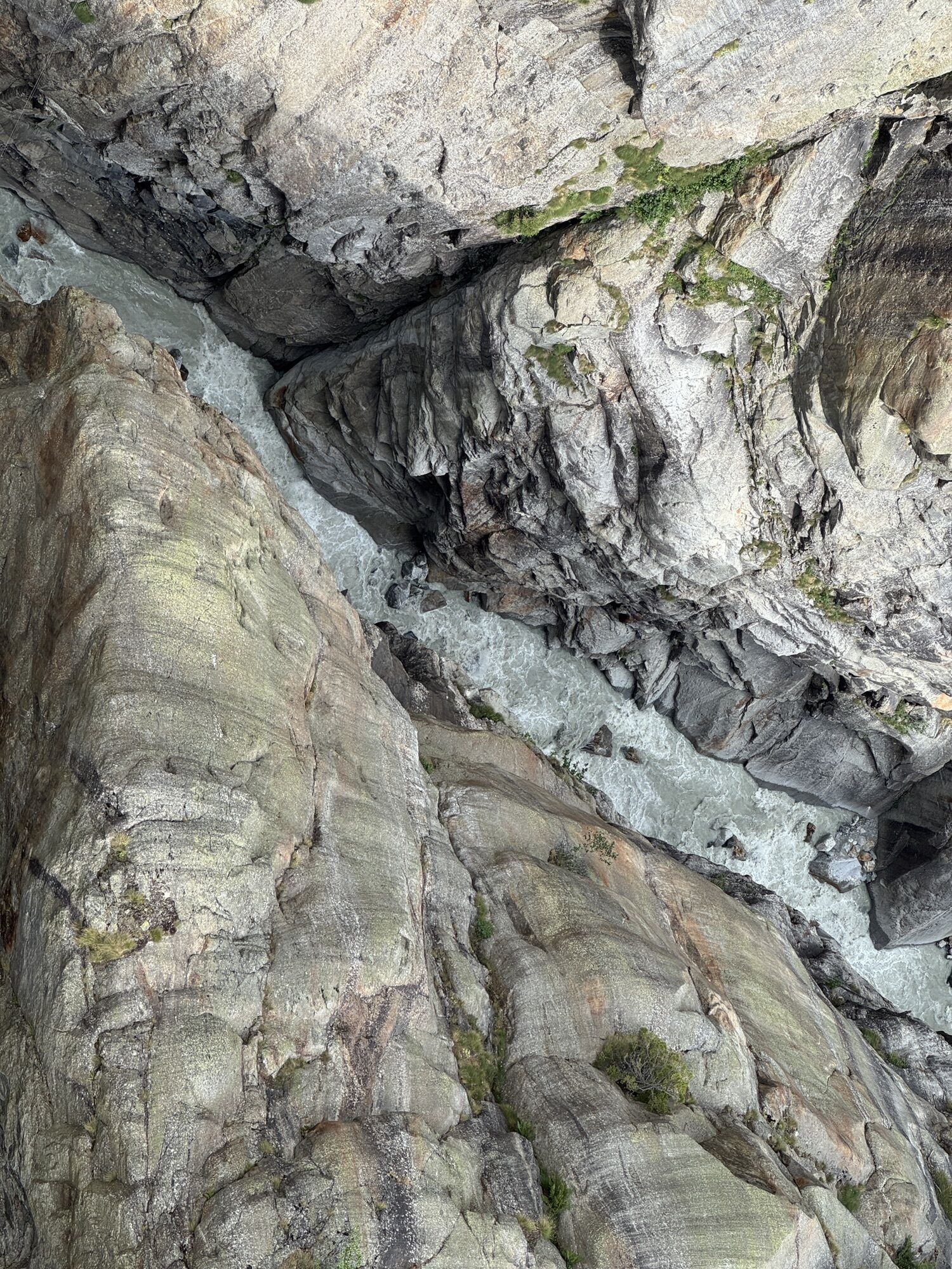
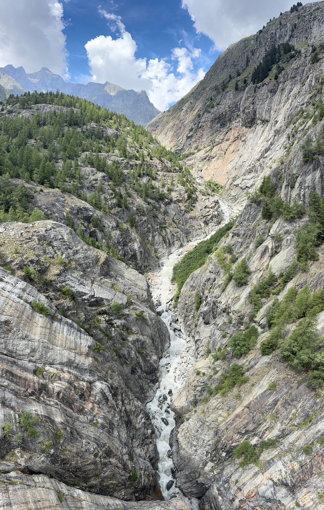
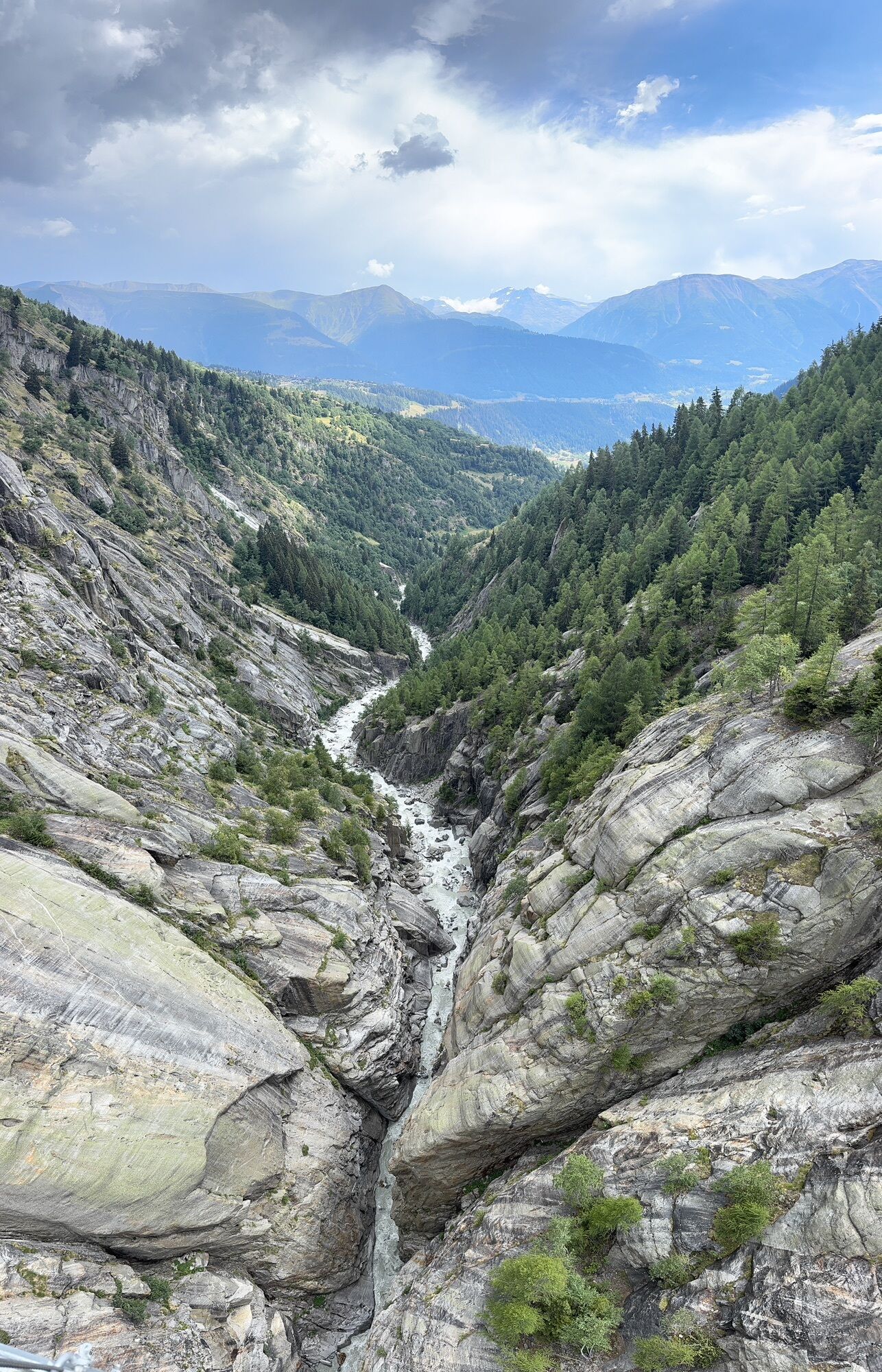
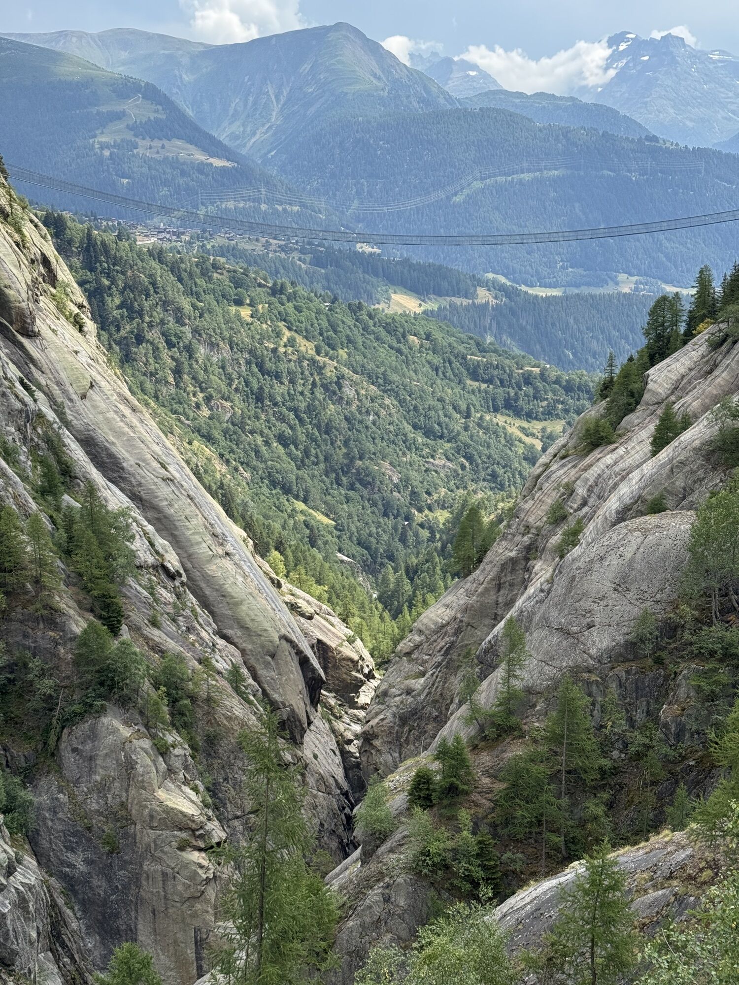
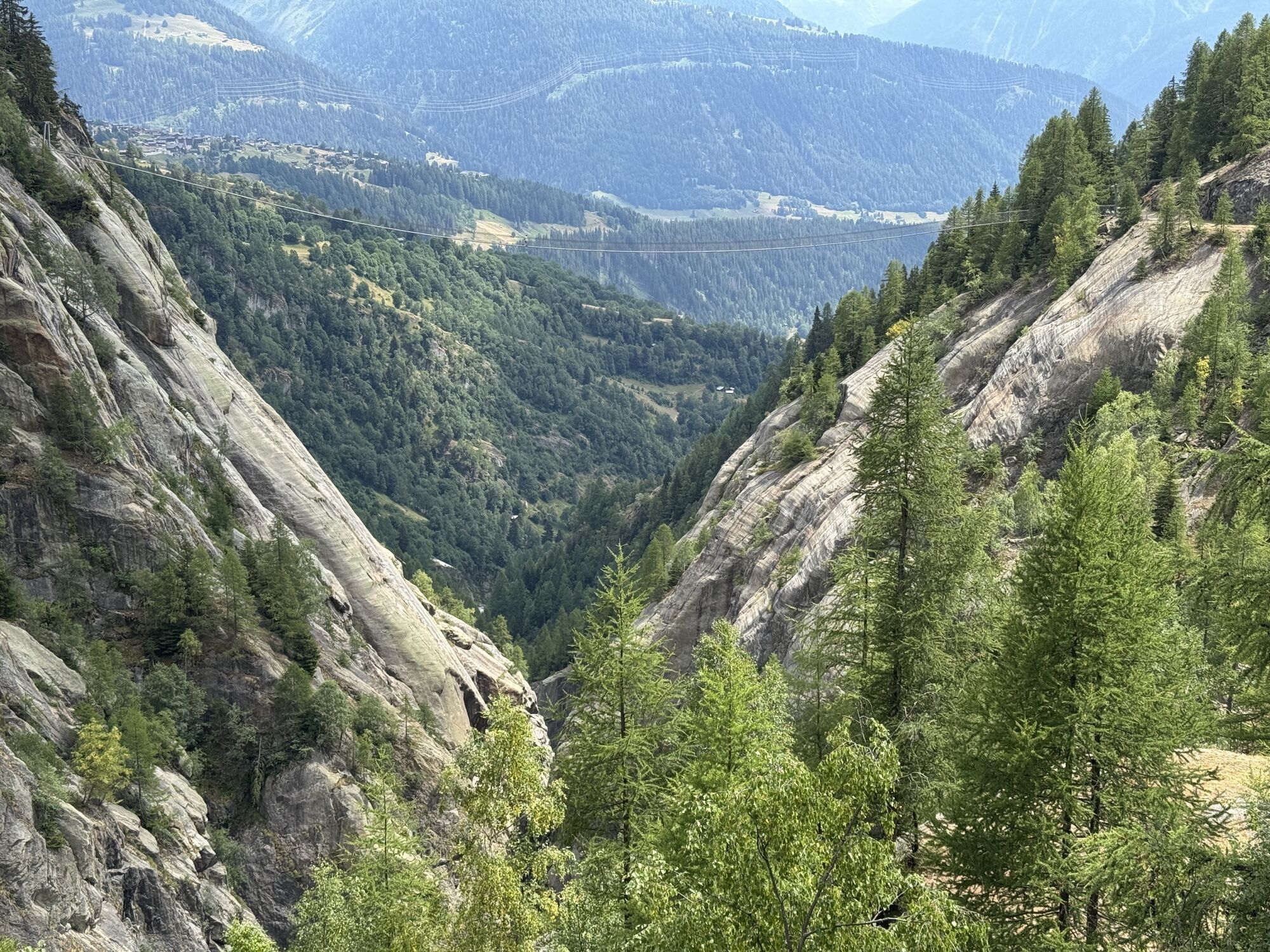
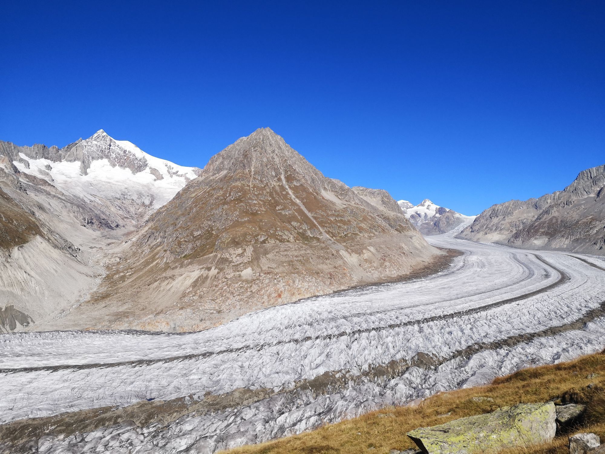
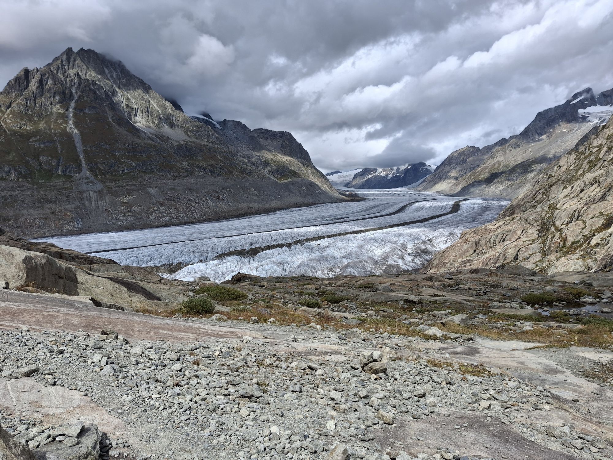
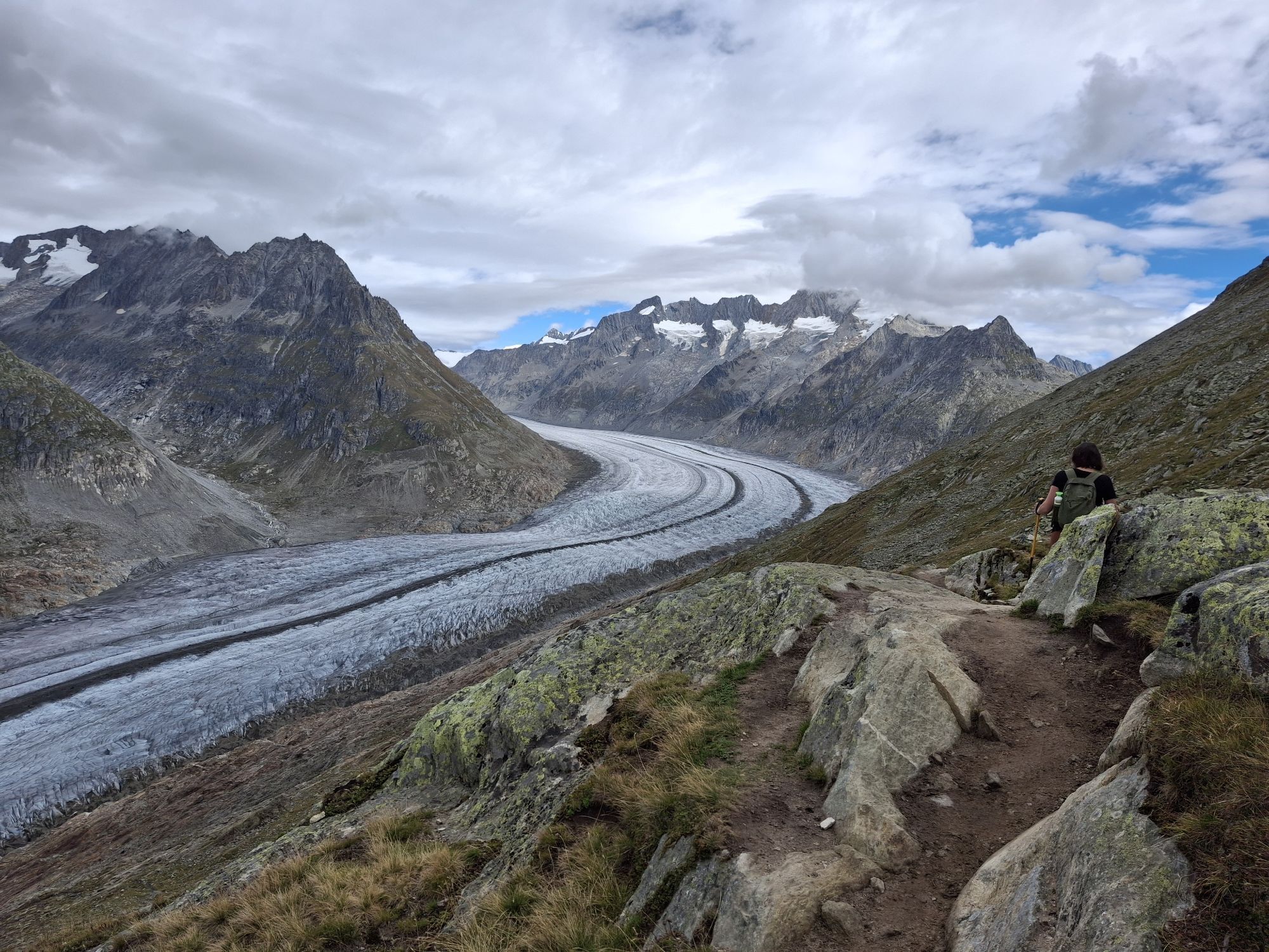
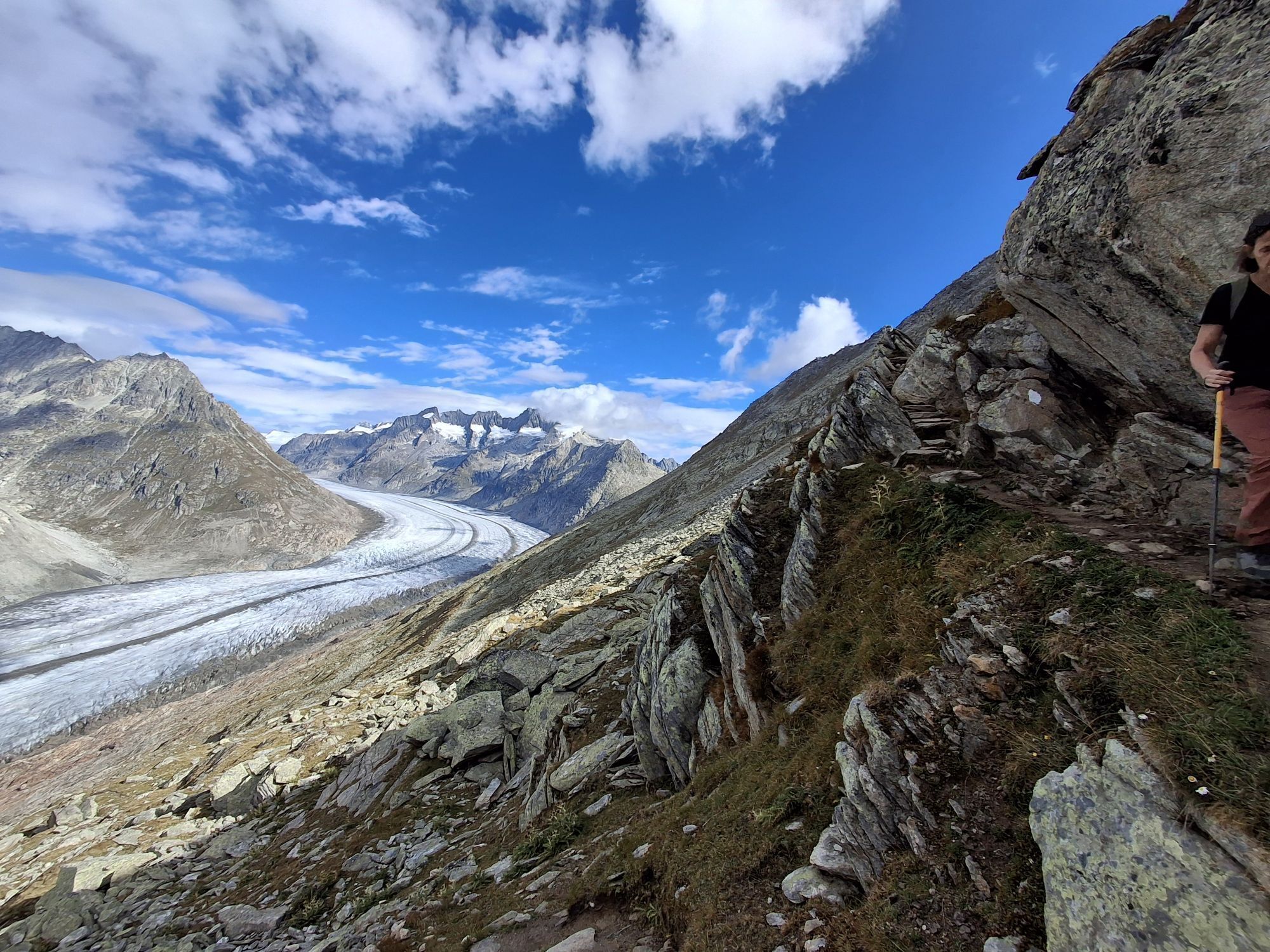
The Aspi-Titter bridge, which floats up to 120 meters above the Weisswasserschlucht at the foot of the Fiescher Glacier, connects the Goms with the Aletsch Glacier. Beyond it, after a strenuous hike, the...
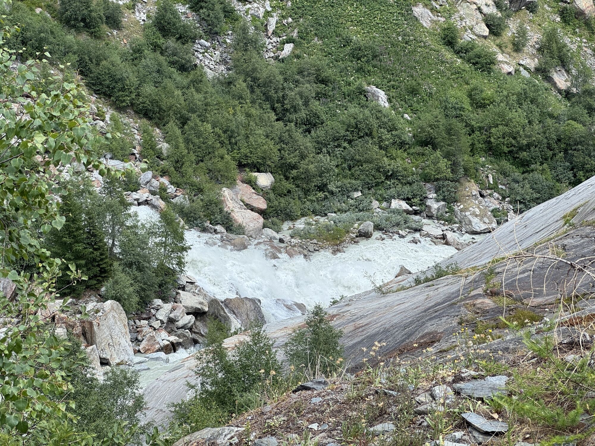
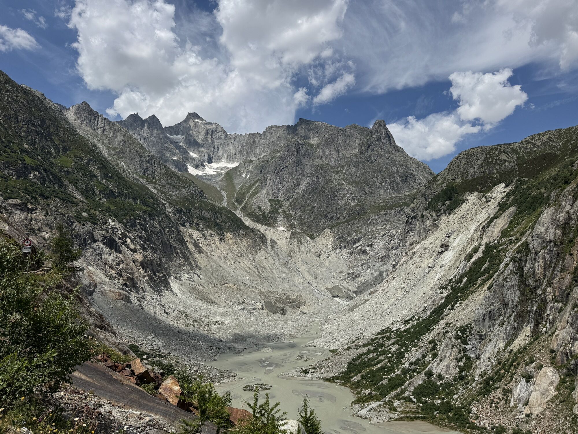
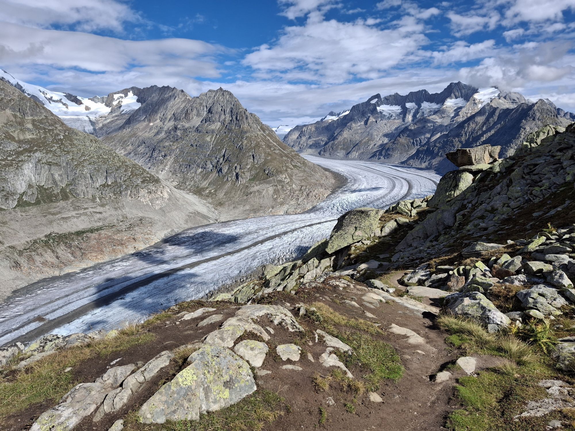
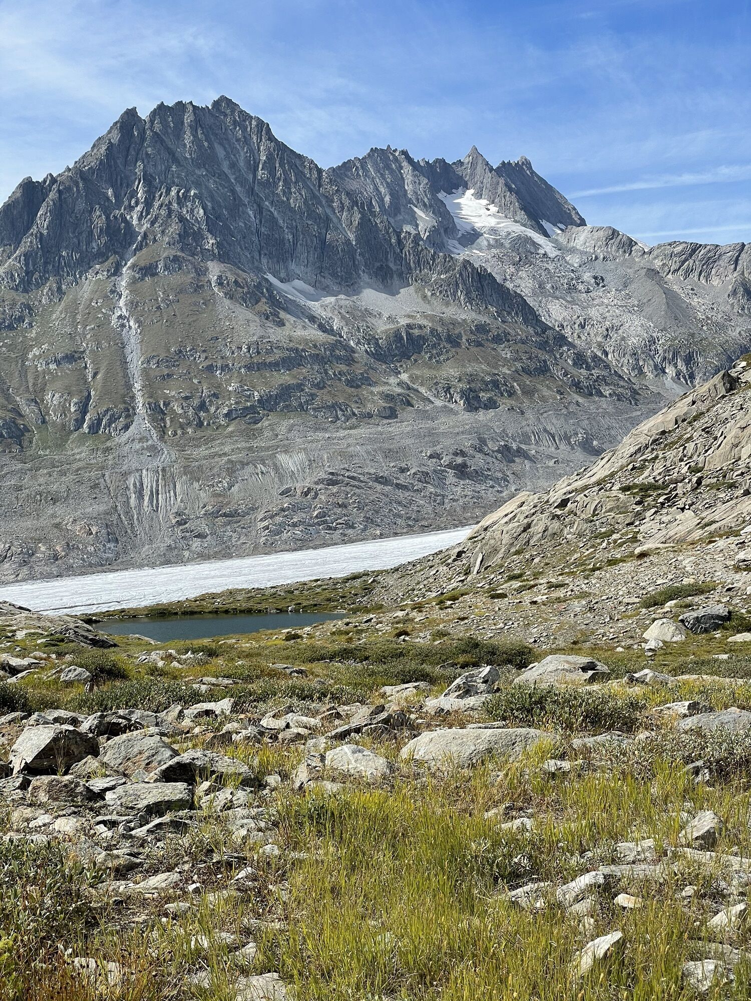
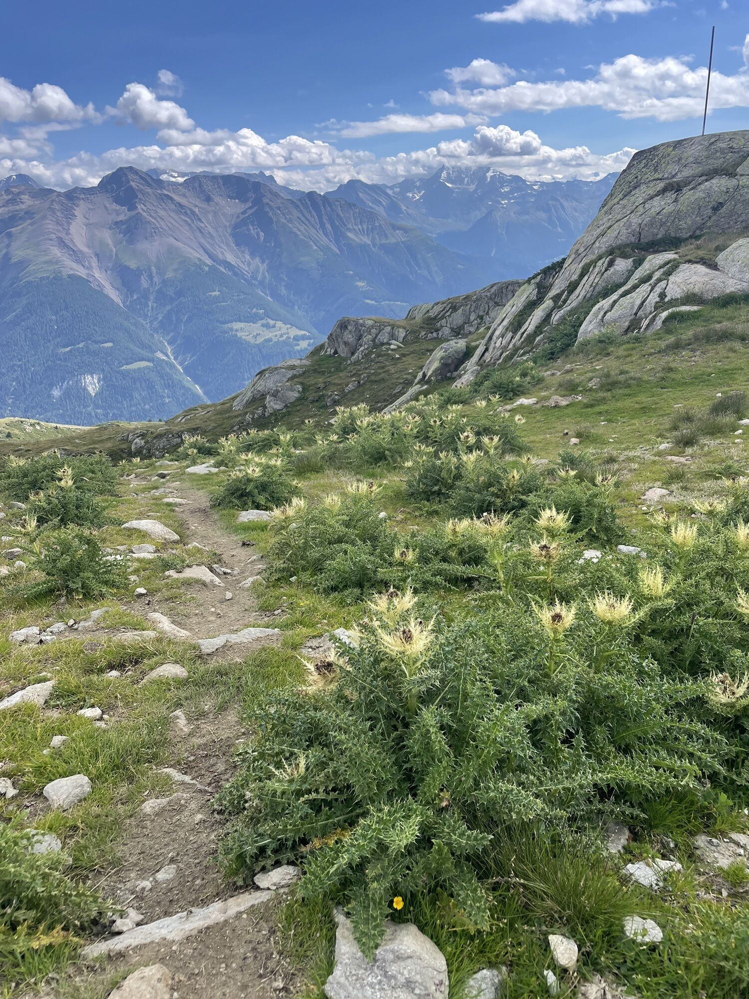
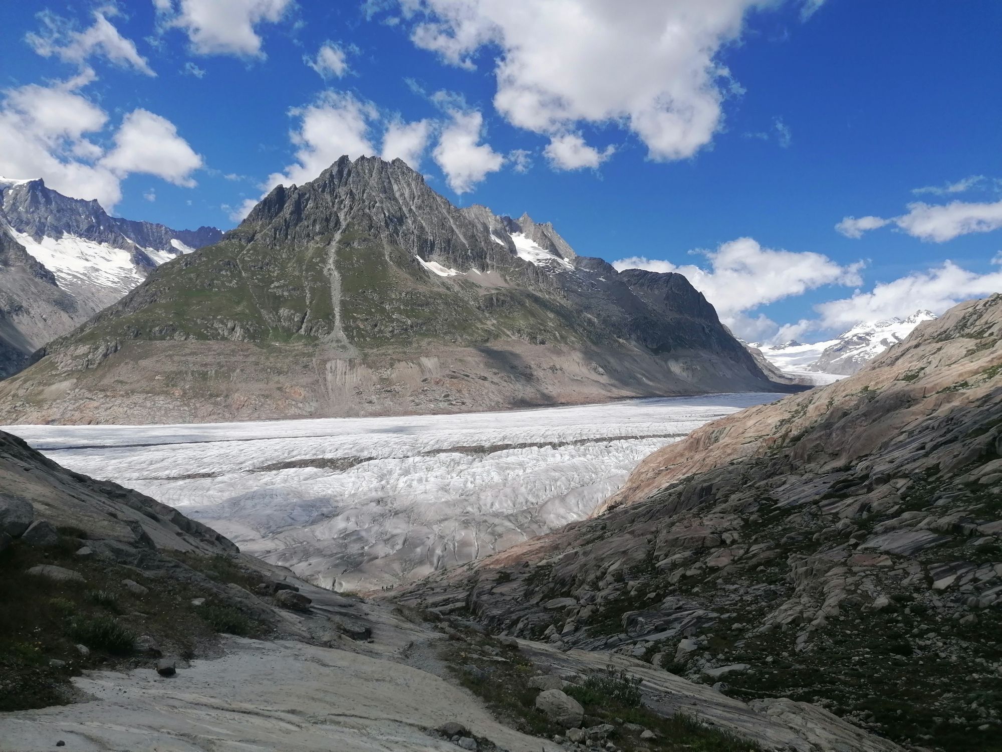
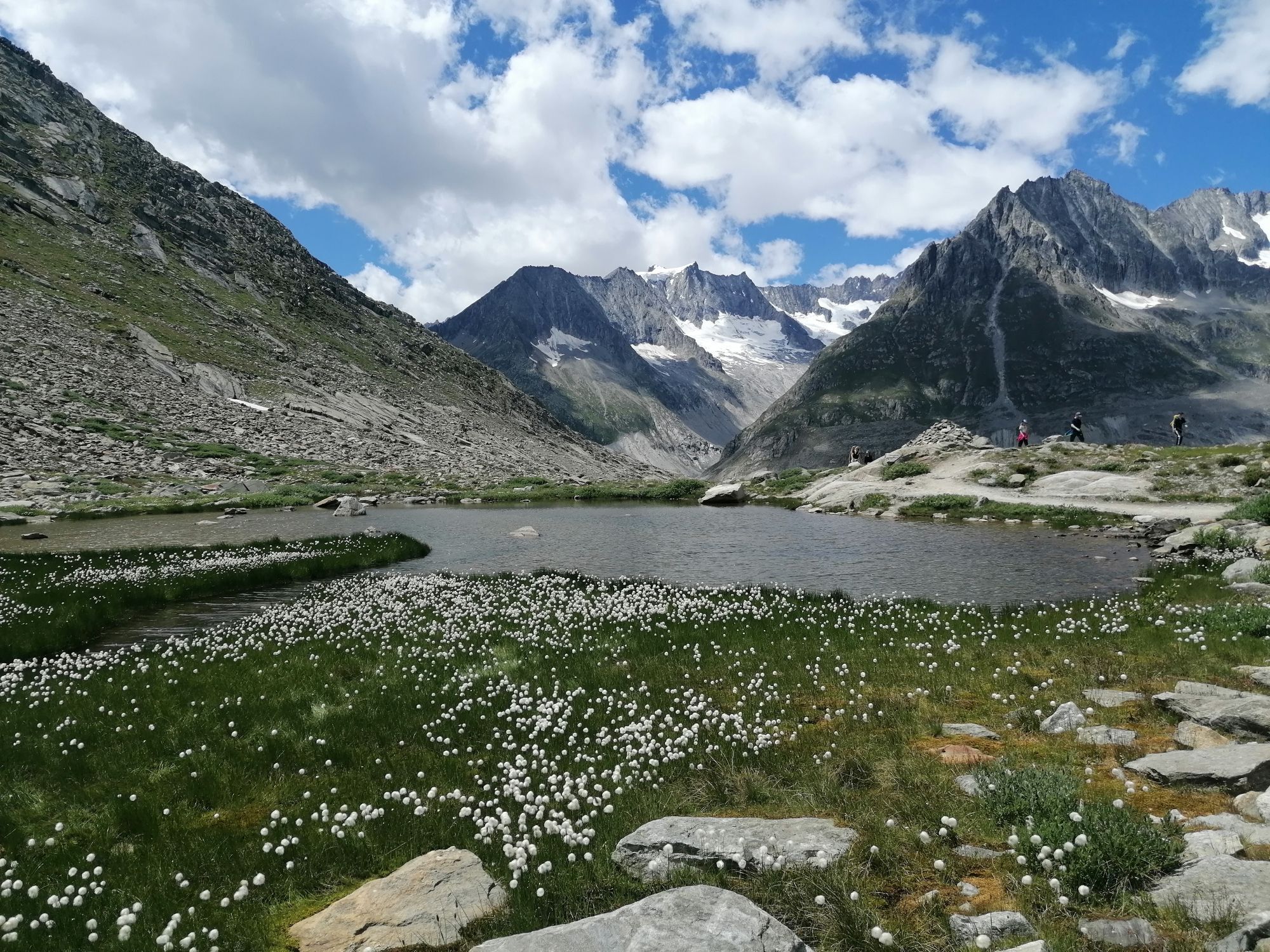
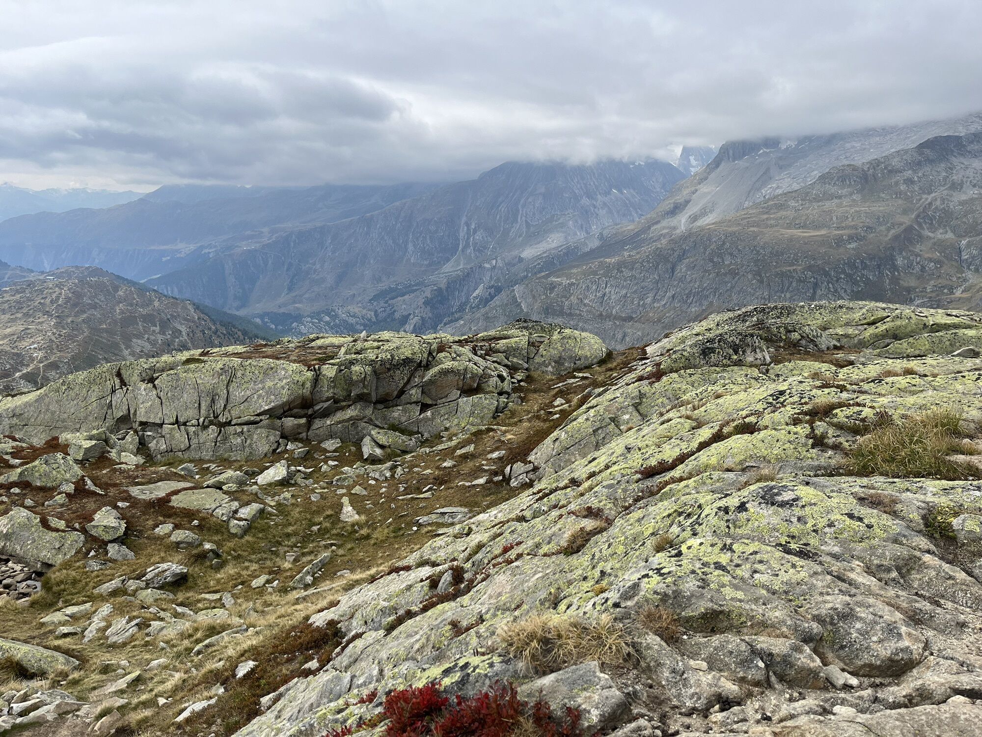
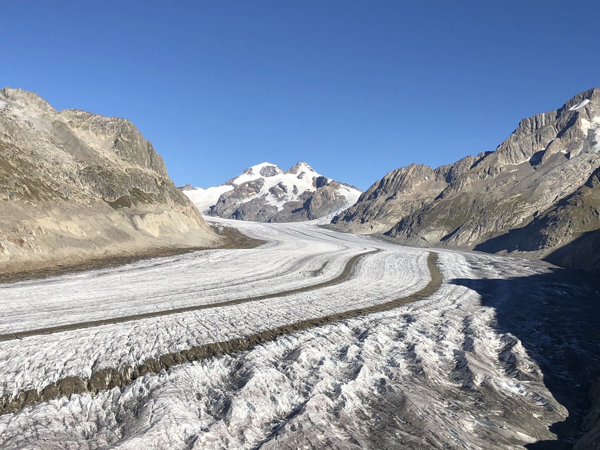
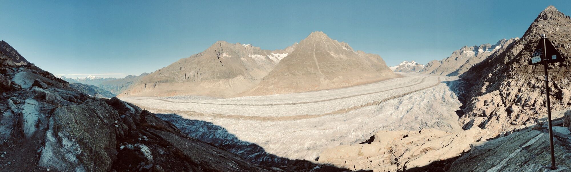
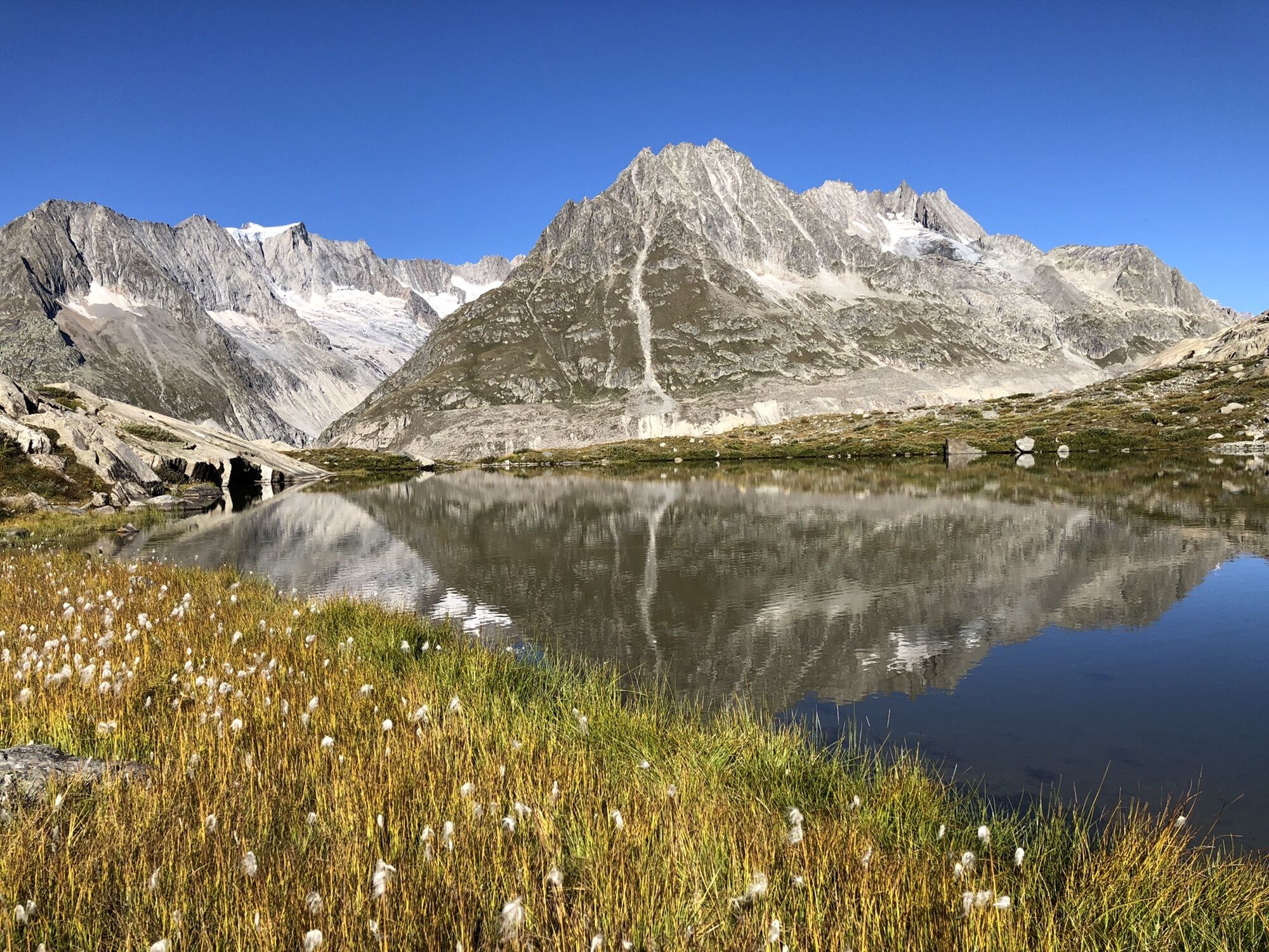
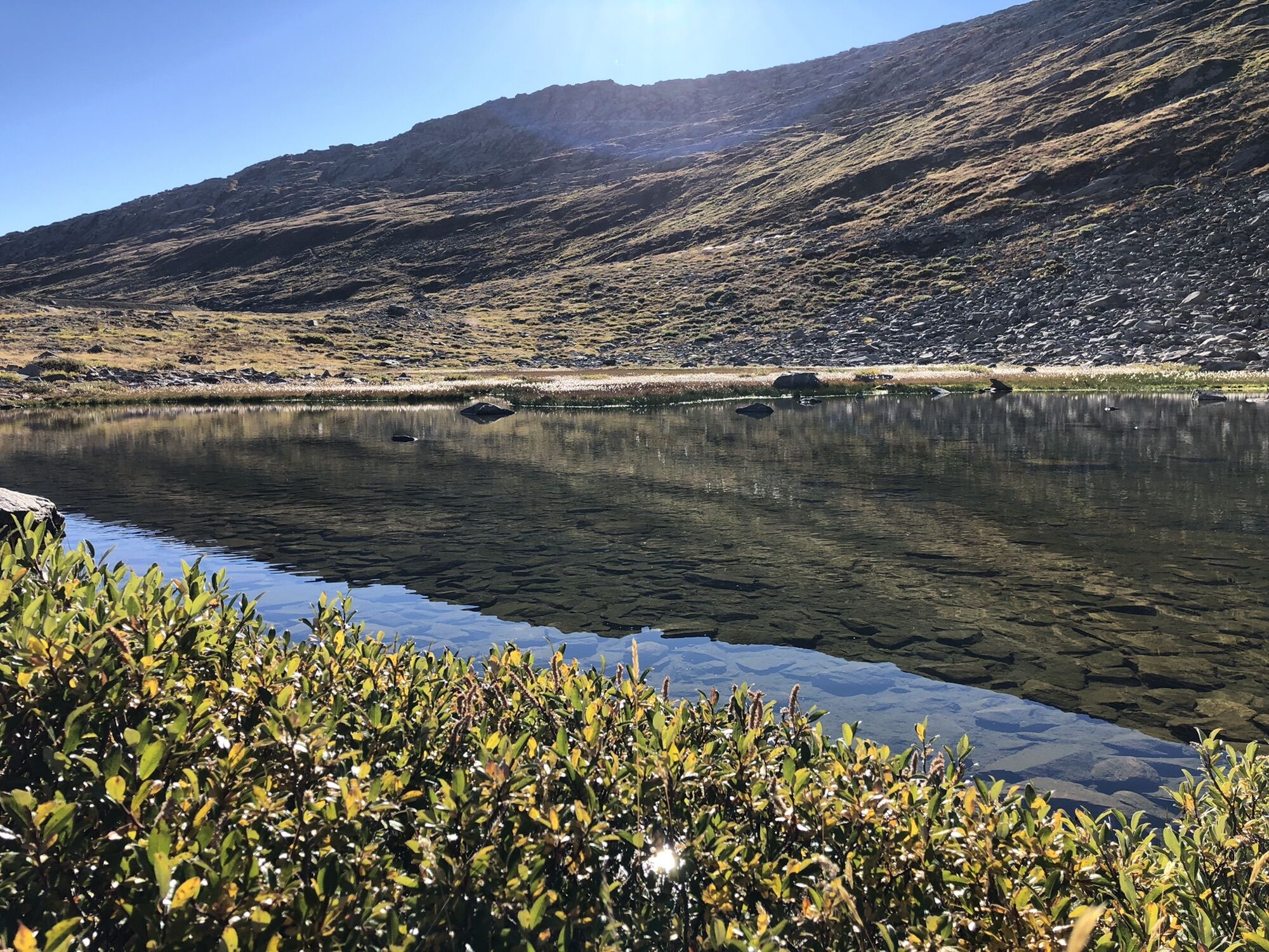
The Aspi-Titter bridge, which floats up to 120 meters above the Weisswasserschlucht at the foot of the Fiescher Glacier, connects the Goms with the Aletsch Glacier. Beyond it, after a strenuous hike, the enchanting landscapes of the Aletsch Arena unfold. You keep the Aletsch Glacier, a UNESCO World Heritage site, in view along the entire route. In addition, ice-shaped landscapes, colorful alpine flora, and an idyllic glacier lake reward you for the strenuous path.
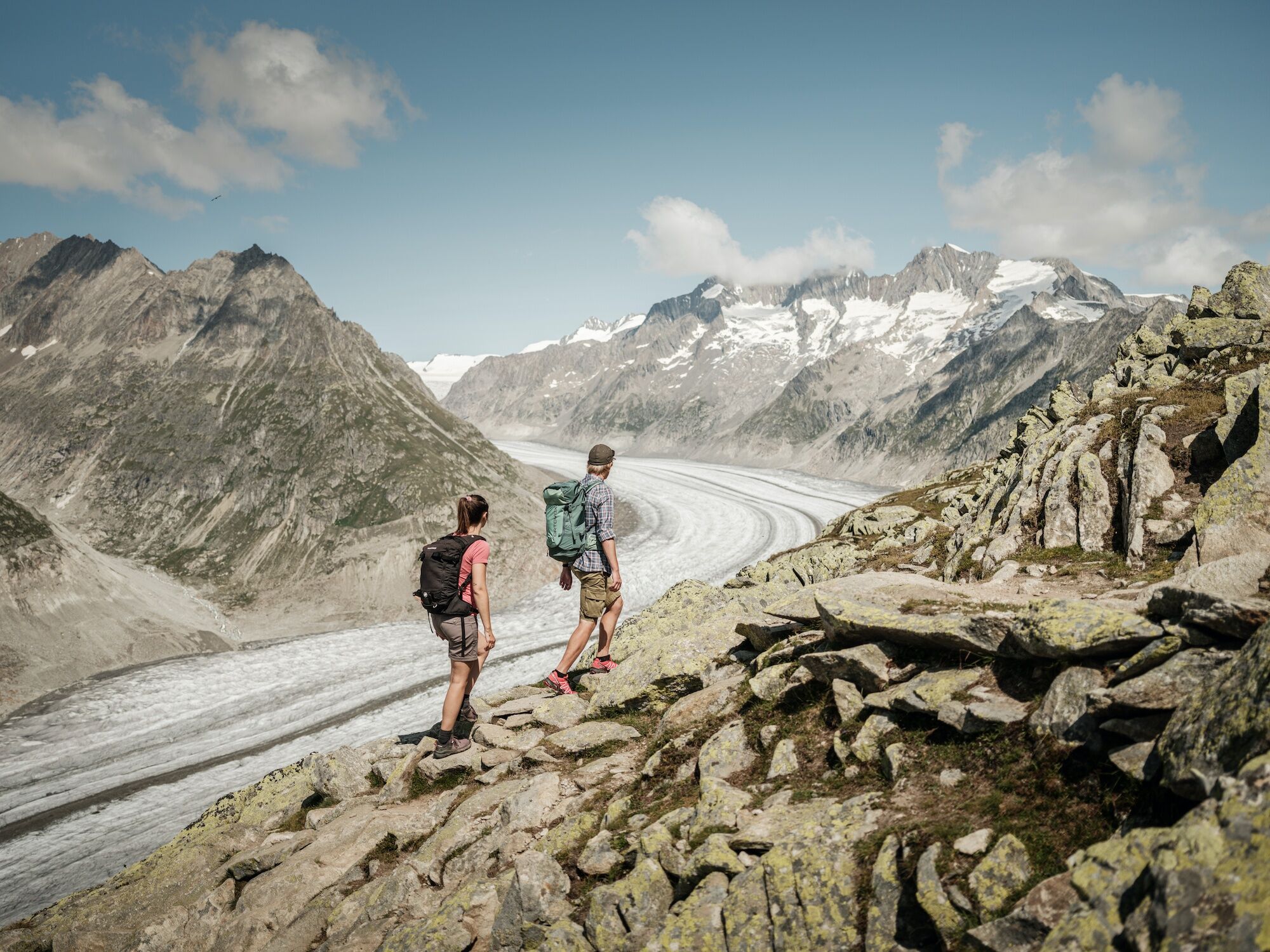
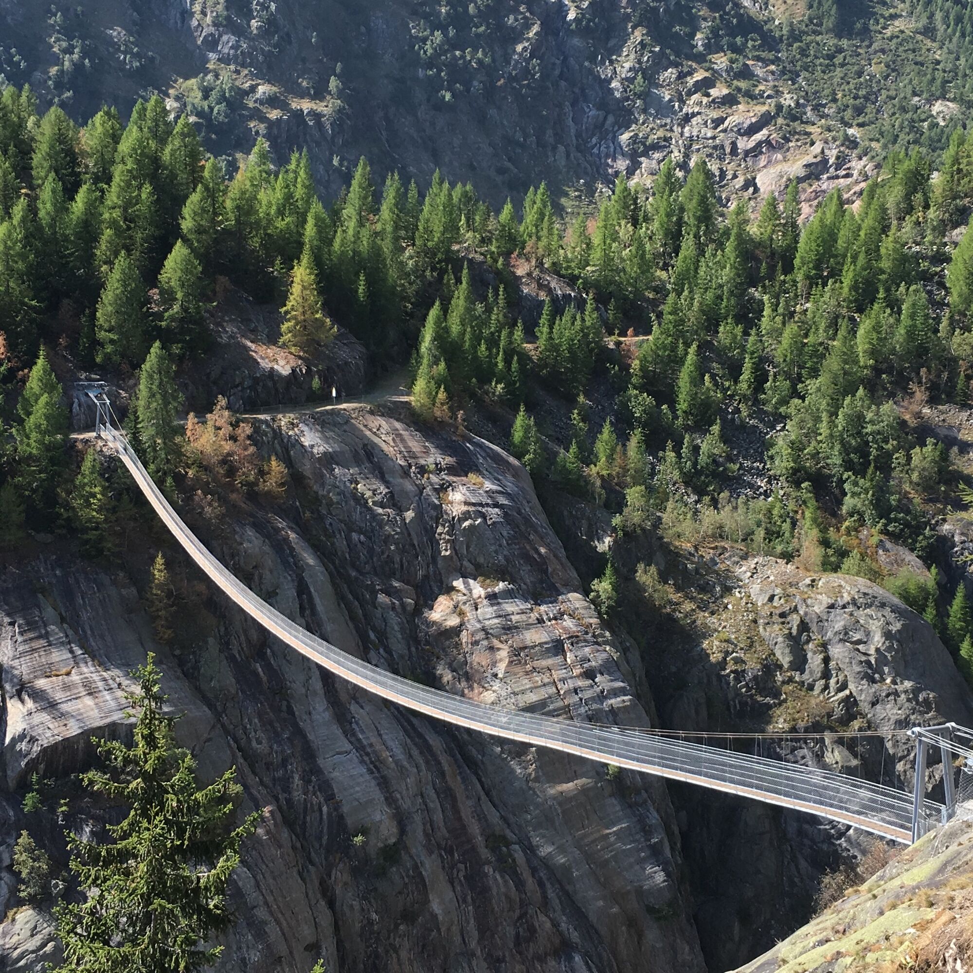
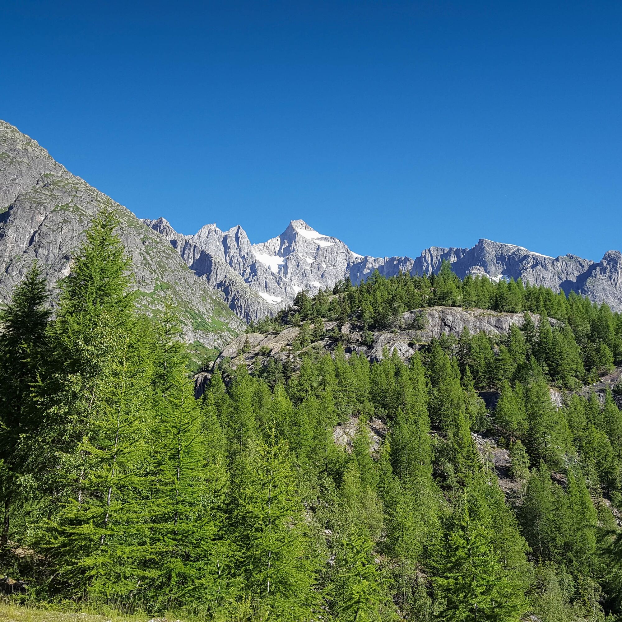
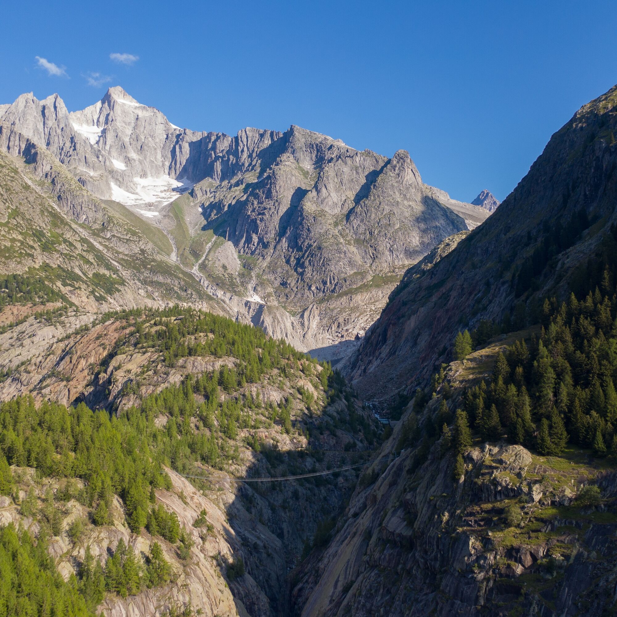
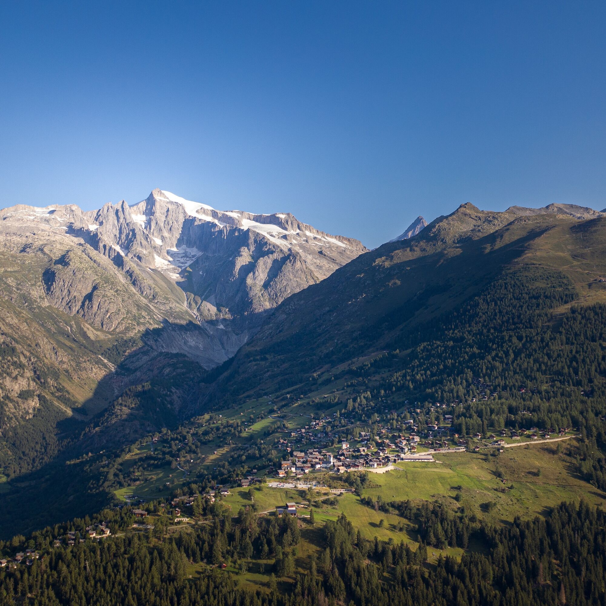
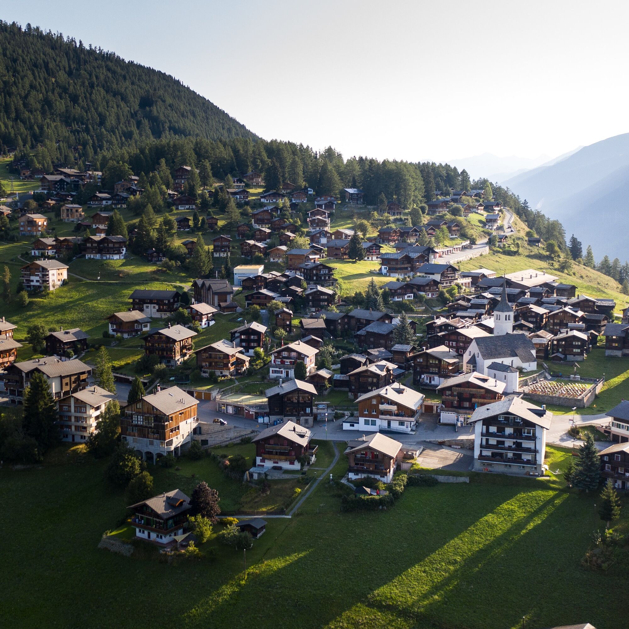

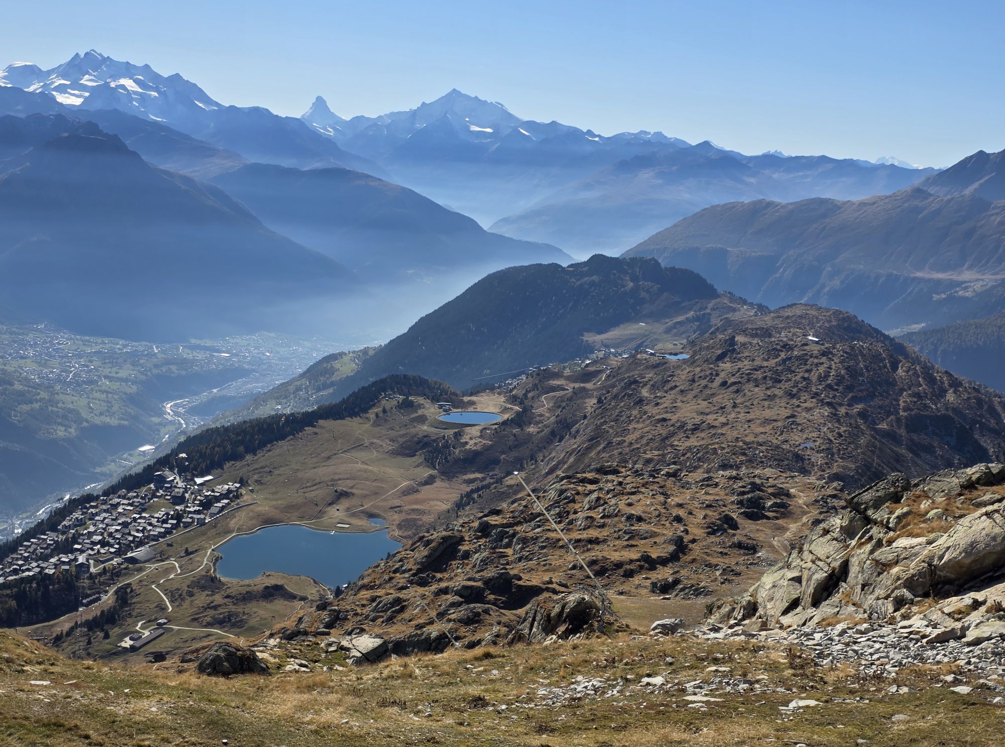
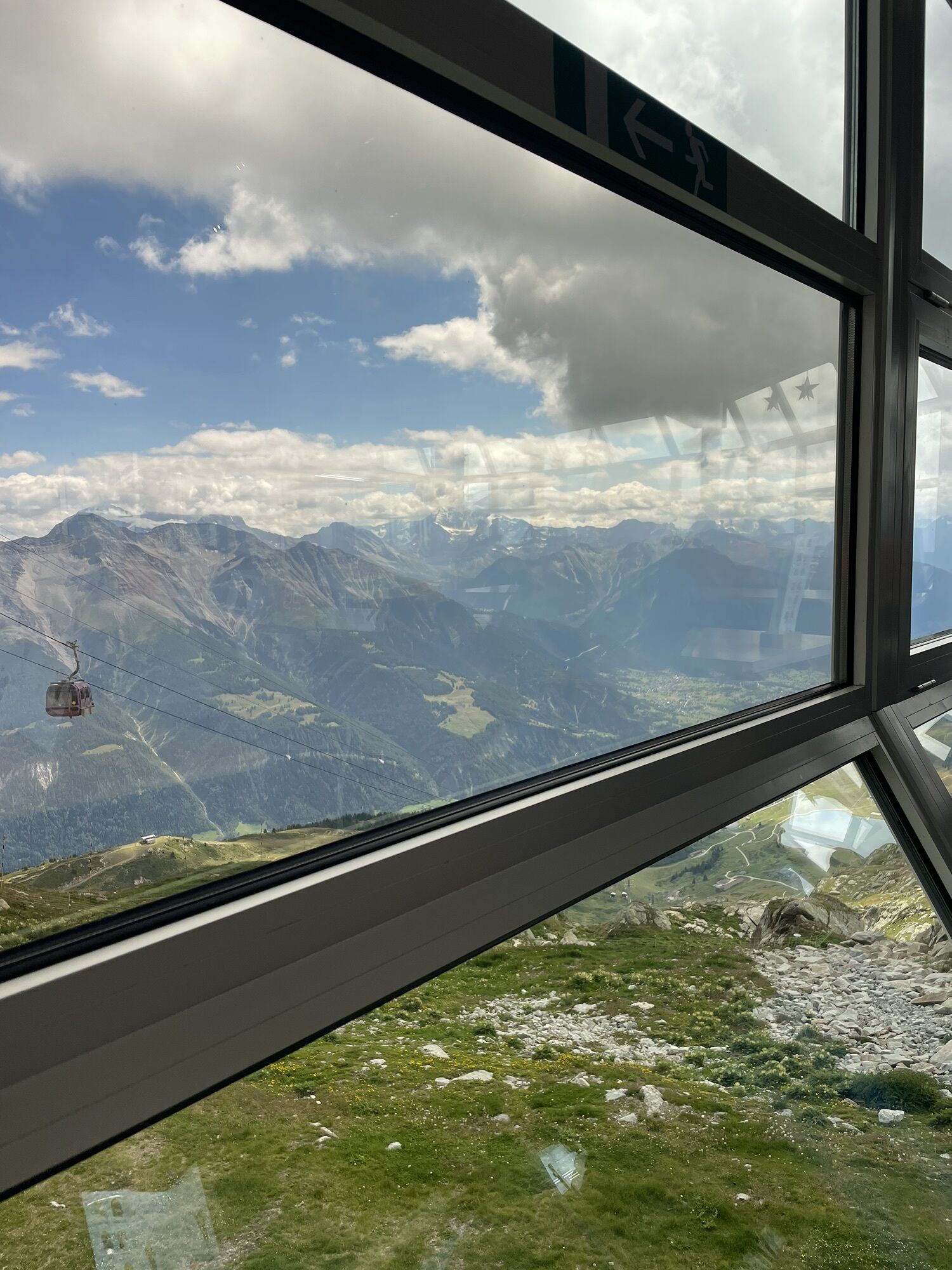
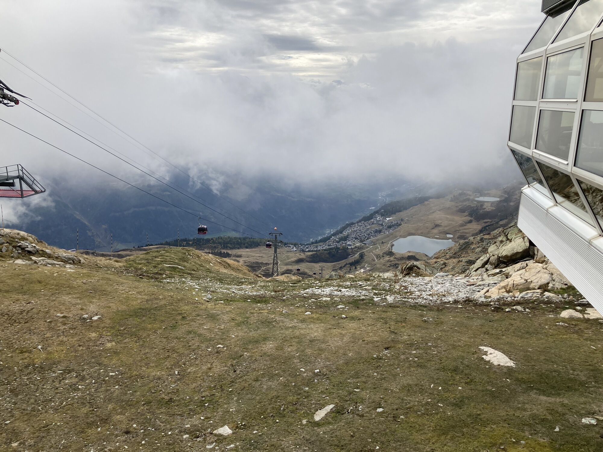
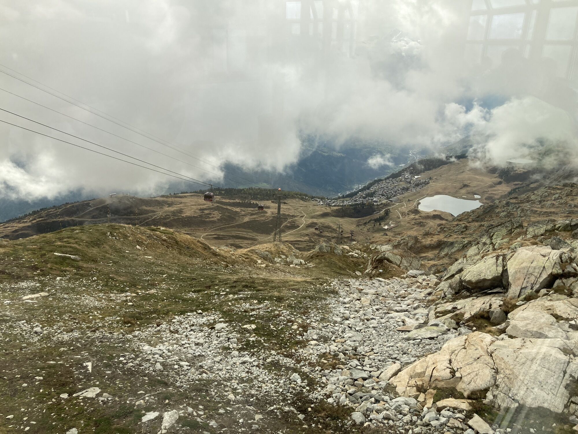
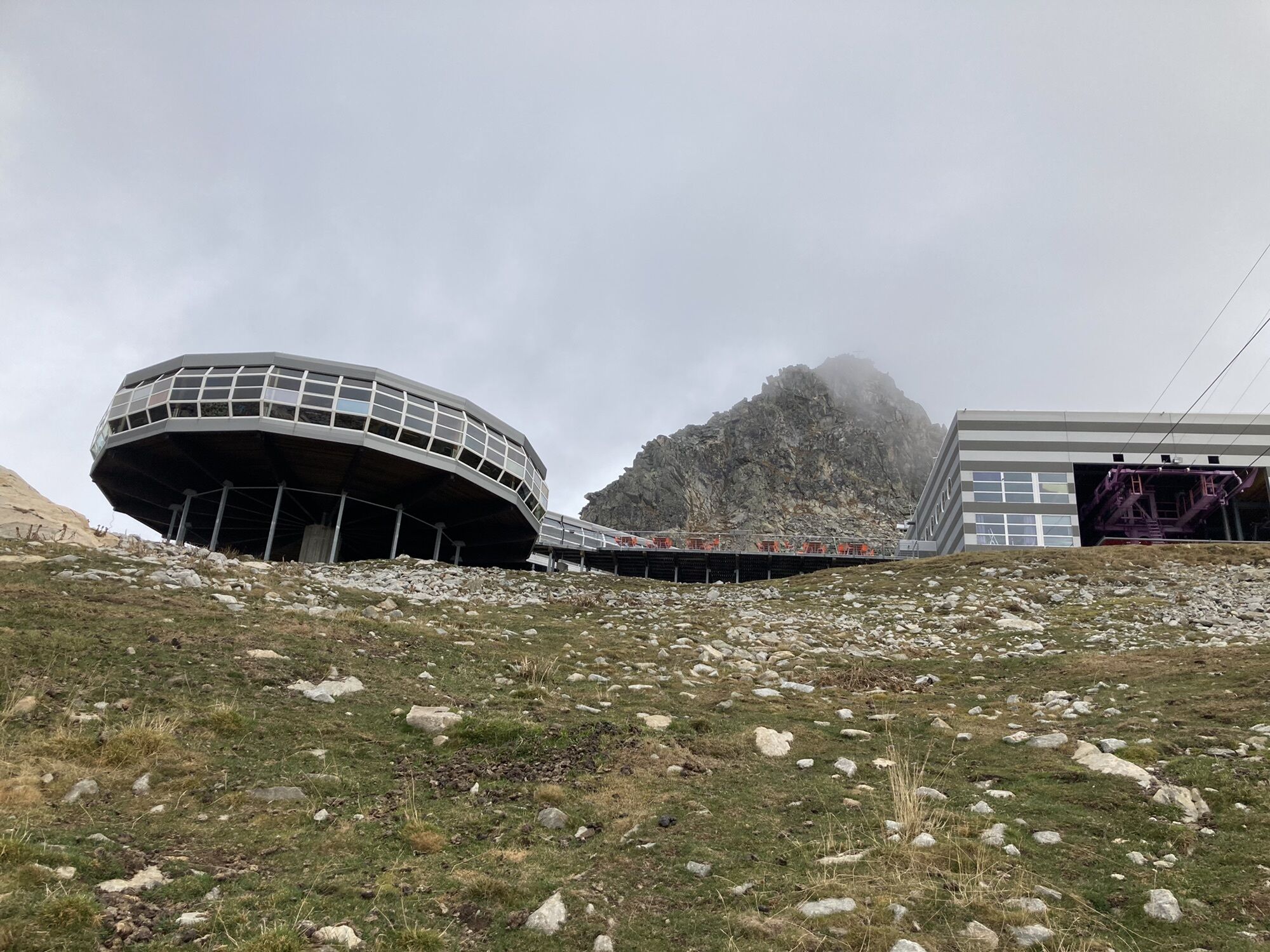
The hike starts at the Bettmerhorn viewpoint, near the upper station of the Bettmerhorn cable car. First, head down over «Uf de Setzu» towards Rote Chumma. On this section, the spectacular Aletsch Glacier is always in front of you and gets closer with every step. Then take a rock-carved path with stone steps in the direction of Märjelen and Märjelensee up to the mountain hut Gletscherstube. Now follow the Märjelenweg to the Burghütte and the Aspi-Titter suspension bridge. This part includes a descent of about 600 meters in altitude, is quite steep, and requires sure-footedness. You should also be free from vertigo to cross the suspension bridge. Once on the other side, continue via Obflie, Ried, and Gasse to Bellwald. From there, take the cable car to Fürgangen and return by train to Fiesch.
Áno
We recommend:
Good footwear Weather-dependent clothing: always carry a waterproof vest Headgear Sunscreen Water bottle Picnic Camera Binoculars (optional) Walking sticks (optional) Printout of the hiking trail (click "Print" to download)For certain hikes:
SwimsuitThe mountains, a place of joy for sharing and respecting. The mountain world is a place to meet and share unforgettable moments together – whether by bike or on foot. So that all users can benefit, it is essential to share this space with respect for nature and agriculture. Respectful behavior allows everyone to enjoy their leisure activities under the best conditions. Inform yourself about recommendations and rules. Assess your own skills and fitness well. Use of the various routes is always at your own risk.
For all hikes:
Carry a map with you. Download the complete description of the hiking trail with a large-scale map by clicking "Print" at the top right of the page. Use only marked hiking trails and observe all signposts and instructions – for your own safety, the protection of grazing animals, and out of respect for wildlife. Close gates after passing through them. Behave considerately towards other trail users, plants, and animals.For mountain hikes:
Carry additional sun protection. UV rays at high altitude can be very strong, even in overcast weather. Plan your hike carefully: take into account the required fitness level of all participants, weather forecasts, and seasonal dependencies. Weather conditions can change very quickly and without warning in the mountains. Appropriate clothing and sufficient provisions (food and drink) are very important. In unstable weather, it is better to return early.For high alpine hikes:
Inform your family about your route. If possible, avoid being alone. Do not walk on glaciers without a mountain guide. Observe warning signs indicating dangers at riverbanks, along waterways below dams and reservoirs: Water levels can rise quickly and without warning.Take the cantonal road 19 to the Betten valley station exit. Take the Bettmeralp cable car (Aletsch Bahnen AG) up to the Bettmeralp.
After finishing the hike, return with public transport from Bellwald to Fürgangen (cable car) and from Fürgangen to Betten valley station via Matterhorn Gotthard Bahn (train).
Regular train connections from all over Switzerland to Betten valley station (change in Brig from SBB to Matterhorn Gotthard Bahn), then cable car up to Bettmeralp. Ten-minute walk through the village to the Bettmerhorn gondola. At the end of the hike, take the cable car from Bellwald to Fürgangen and from there the Matterhorn Gotthard Bahn back to Brig. Timetables for cable cars and trains can be found at sbb.ch.
Large, paid parking lot/parking garage at the valley station of the Bettmeralp cable car (Aletsch Bahnen AG).
More information about the destination: Bellwald
After the descent, take a well-deserved break at the Burghütte. With a bit of luck and a pair of binoculars, you might spot ibexes.
Webové kamery z prehliadky
-
Bettmerhorn Aletsch Gebiet
-
Bettmerhorn
-
Bergstation Wurzenbord
-
Bellwald Tourismus
-
Eggishorn
-
Blitzingen
-
Eggishorn
-
Eggishorn
-
Eggishorn
-
Eggishorn
-
Eggishorn
-
Fiesch
-
Moosfluh Bergstation
-
Moosfluh Bergstation
-
Moosfluh Bergstation
-
Moosfluh Bergstation
-
Moosfluh Bergstation
-
Moosfluh Bergstation
-
Golfclub Riederalp
-
Blitzingen Bodmen
-
Blitzingen - Hotel Castle
-
Bellwald Furggulti
-
Bellwald Talstation
-
Bellwald Mittelstation Fleschen
Získajte prehľad
Vždy naživo na mieste s viac ako 9 500 webovými kamerami. bergfex Ako používateľ Pro si teraz môžete pozrieť príslušné webové kamery pre mnohé zájazdy v aplikácii zájazdy z. Môžete si tak priamo prezerať aktuálne podmienky.
Obľúbené výlety v okolí
-
UNESCO Höhenweg
Turistika 3,70 km -
5,0
BELALP - SPARRHORN
ťažkéTuristika 11,2 km -
4,0
Panoramaweg über den Aletschgletscher
strednáTuristika 17,7 km -
4,8
SUSPENSION BRIDGE RIEDERALP - BELALP
strednáTuristika 11,5 km -
CIRCULAR HIKE MASSEGGA SUSPENSION BRIDGE
svetloTuristika 6,44 km -
4,0
Eggishorn via ferrata
strednáVia ferrata 1,39 km -
5,0
Aletsch Sightseeing
strednáZimná turistika 15,5 km -
3,0
Lötschenlücke
strednáSkitour 26,2 km -
5,0
VIA FERRATA "ALETSCH"
strednáVia ferrata 3,40 km -
4,5
Hike to the Glacier View in Bellwald
strednáTuristika 8,86 km
Turistika a stopovanie


Nenechajte si ujsť ponuky a inšpiráciu na ďalšiu dovolenku
Vaša e-mailová adresa bol pridaný do poštového zoznamu.





