







Testa dell'Assietta (Sauze d'Oulx)
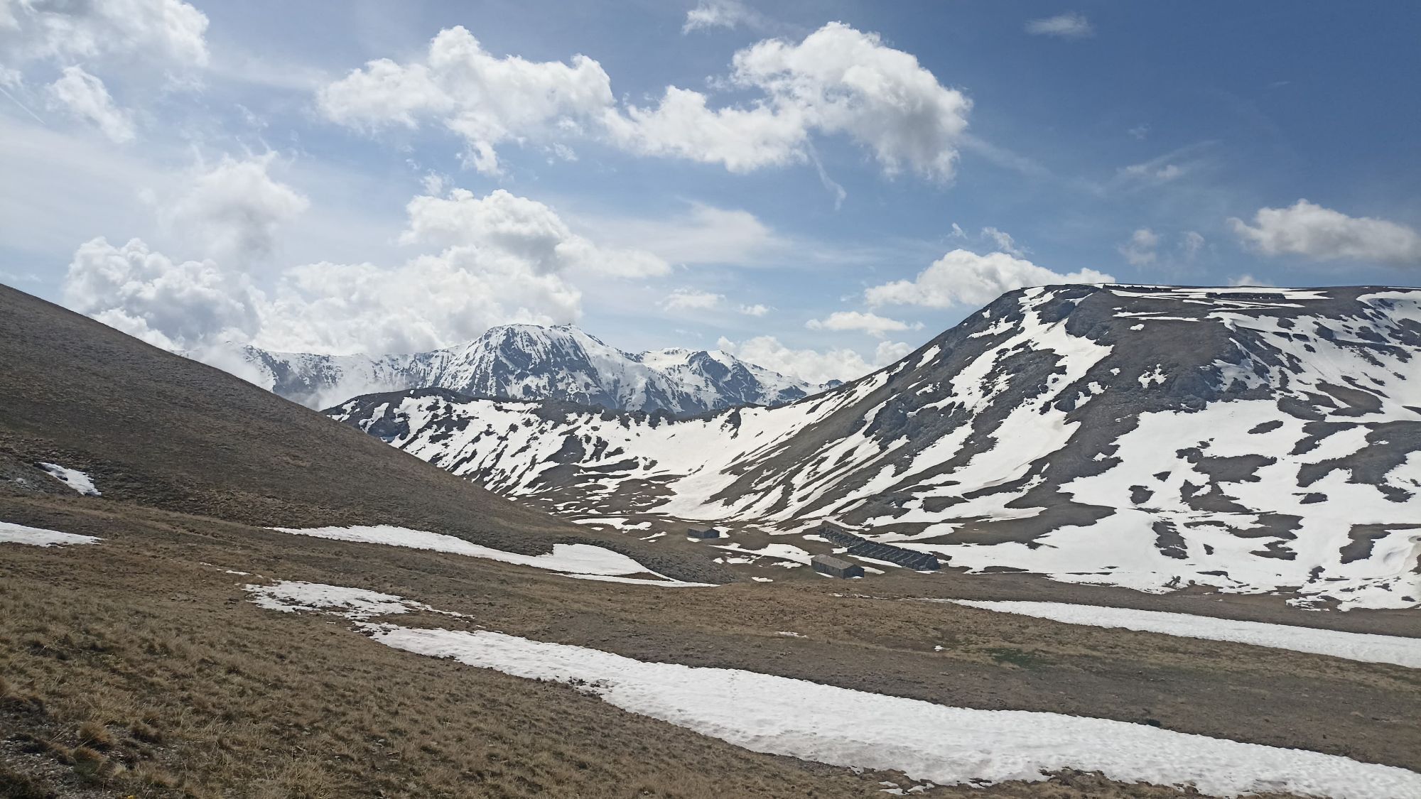
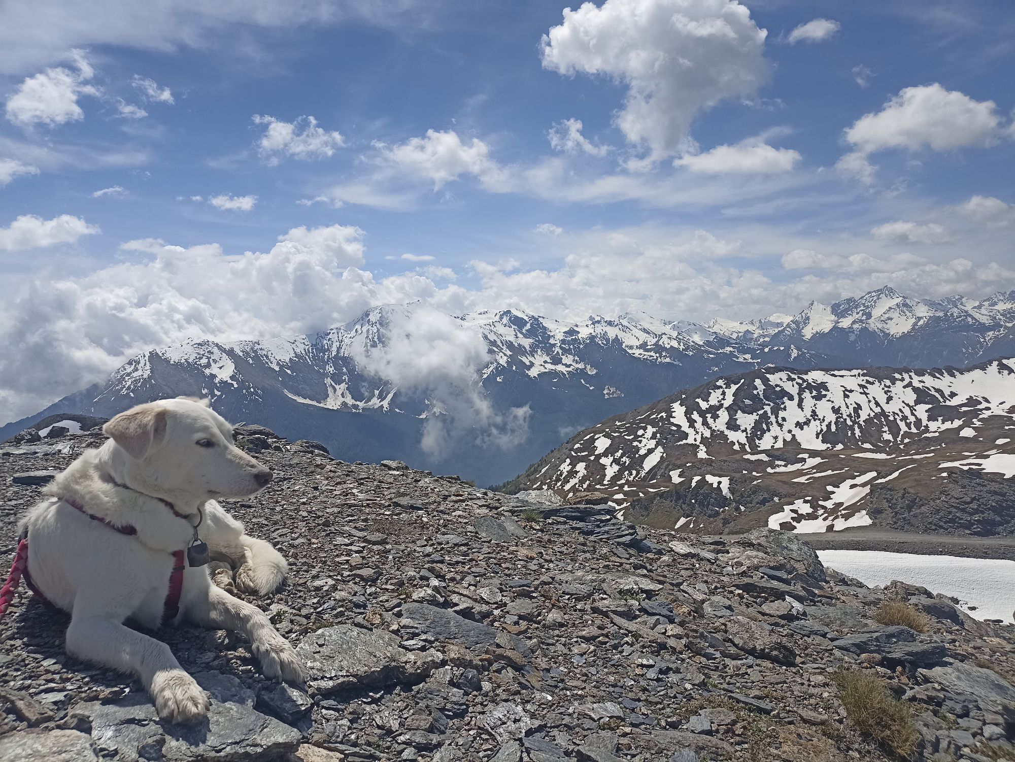
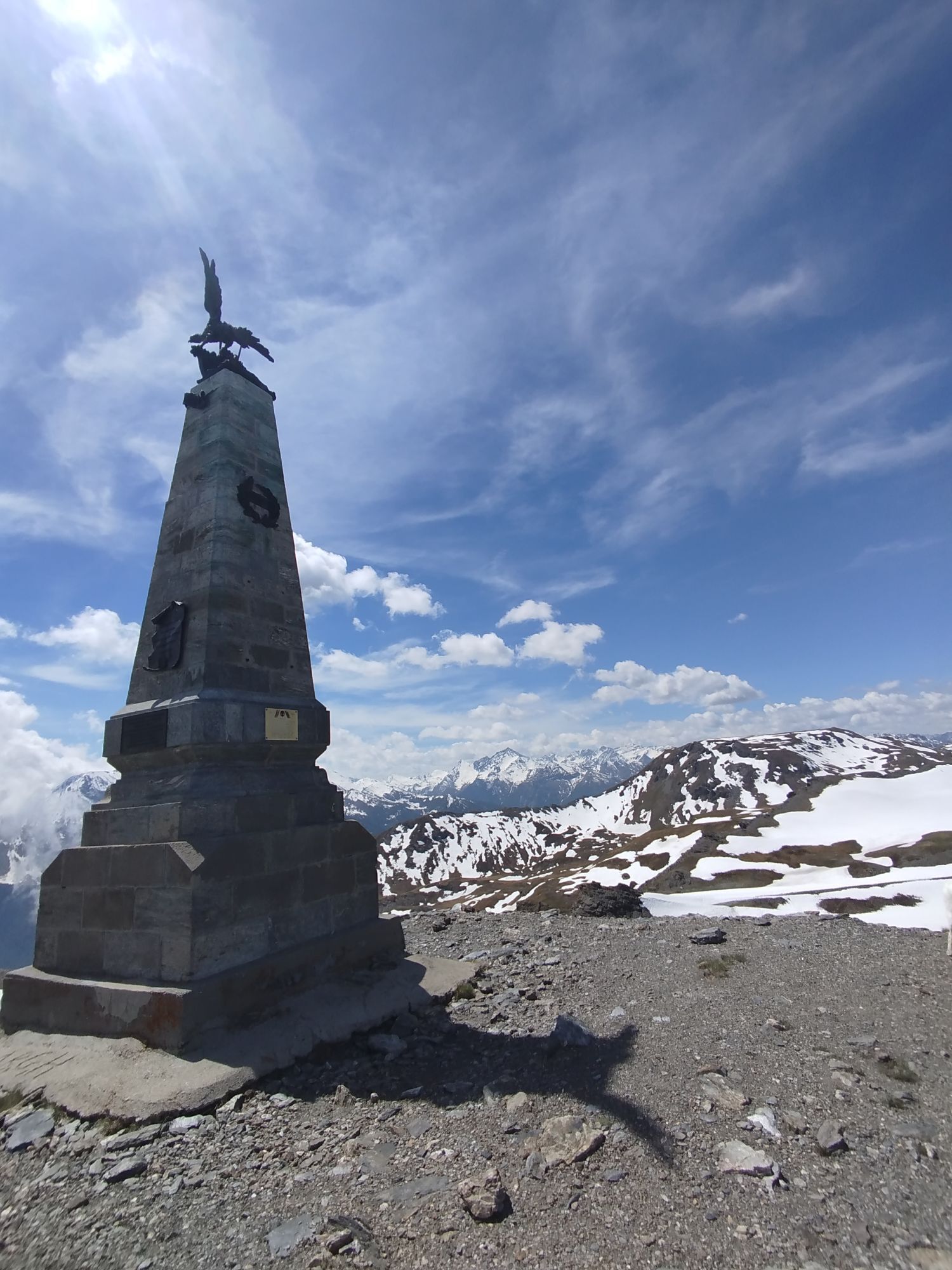
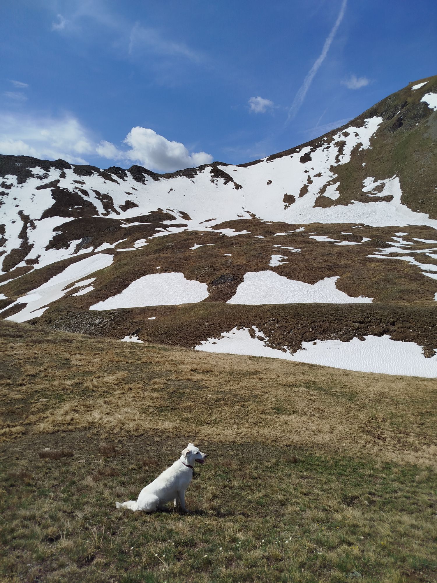
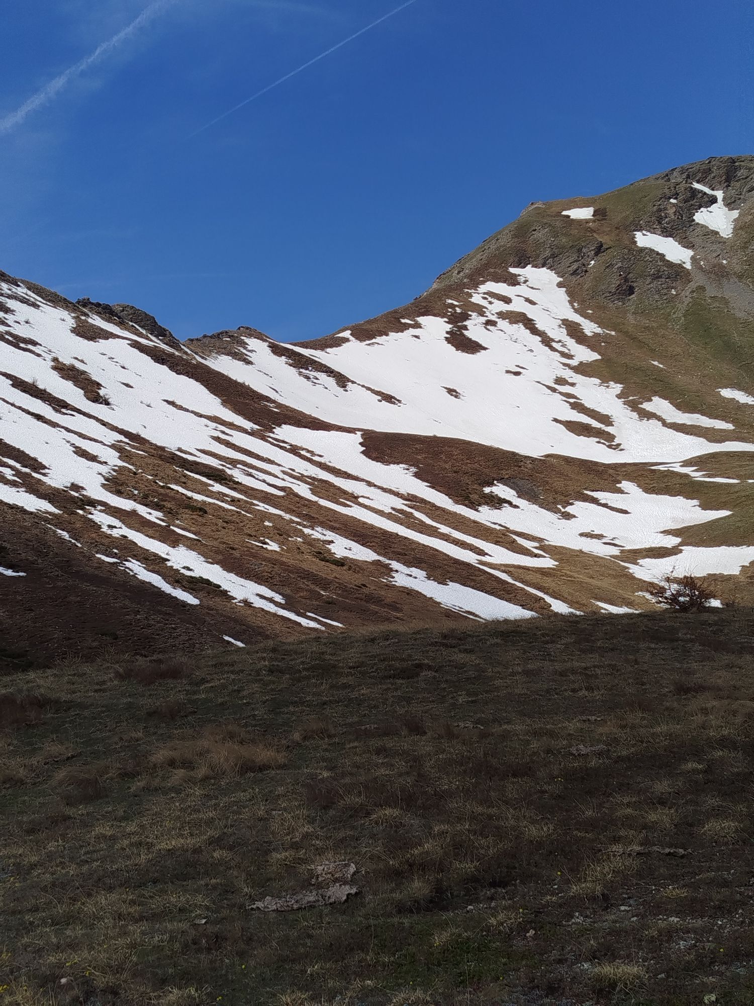
A challenging round trip that can be organised according to your wishes. Starting from Sauze d'Oulx, we recommend the ascent via Richardette and following the park road from Enfers to Col Blegier. From...
Support and technical description by Guido Ambrosiani - MTB Guide.

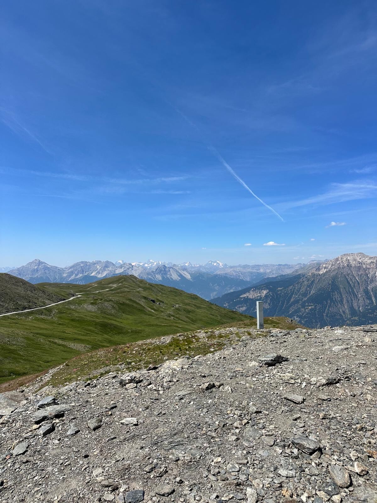
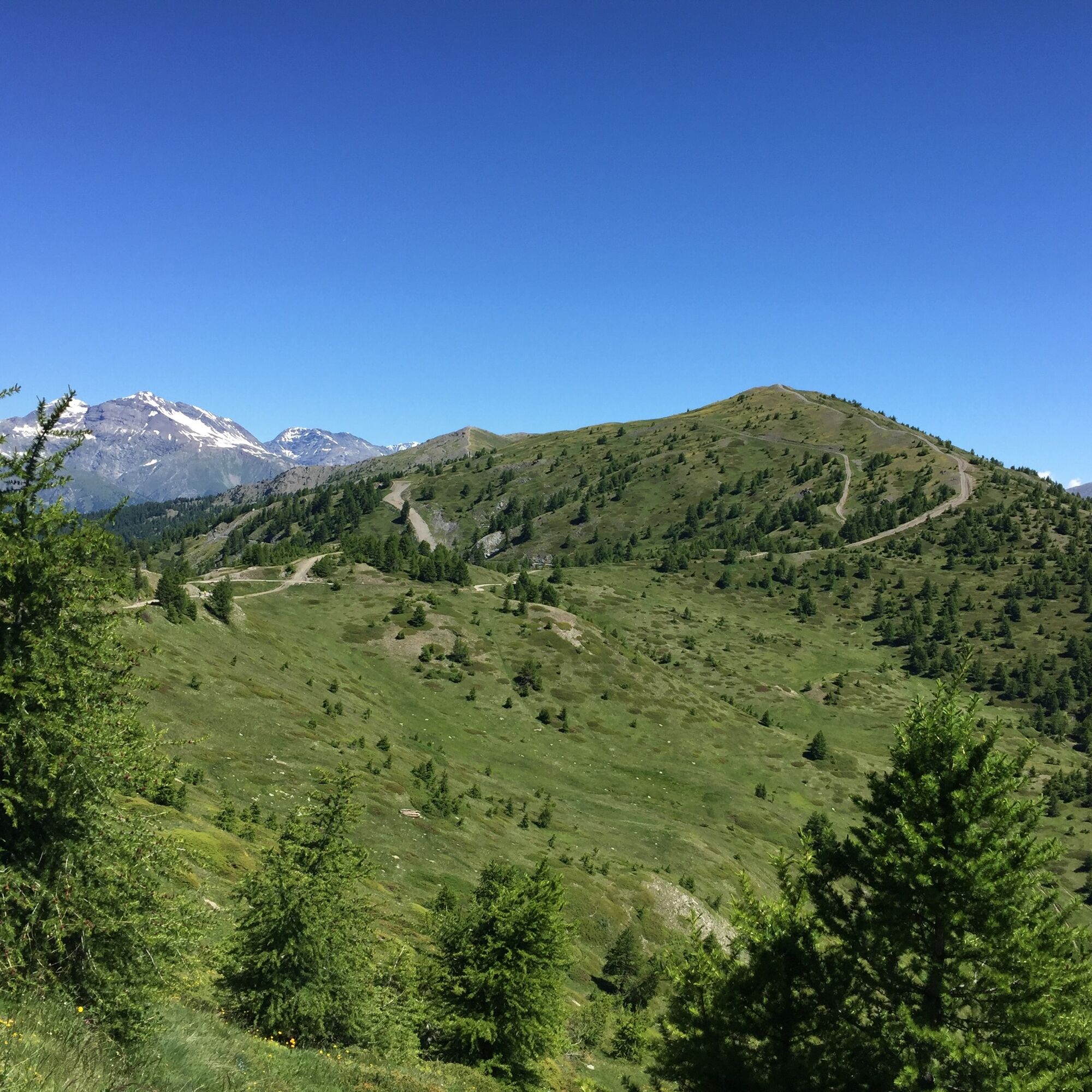
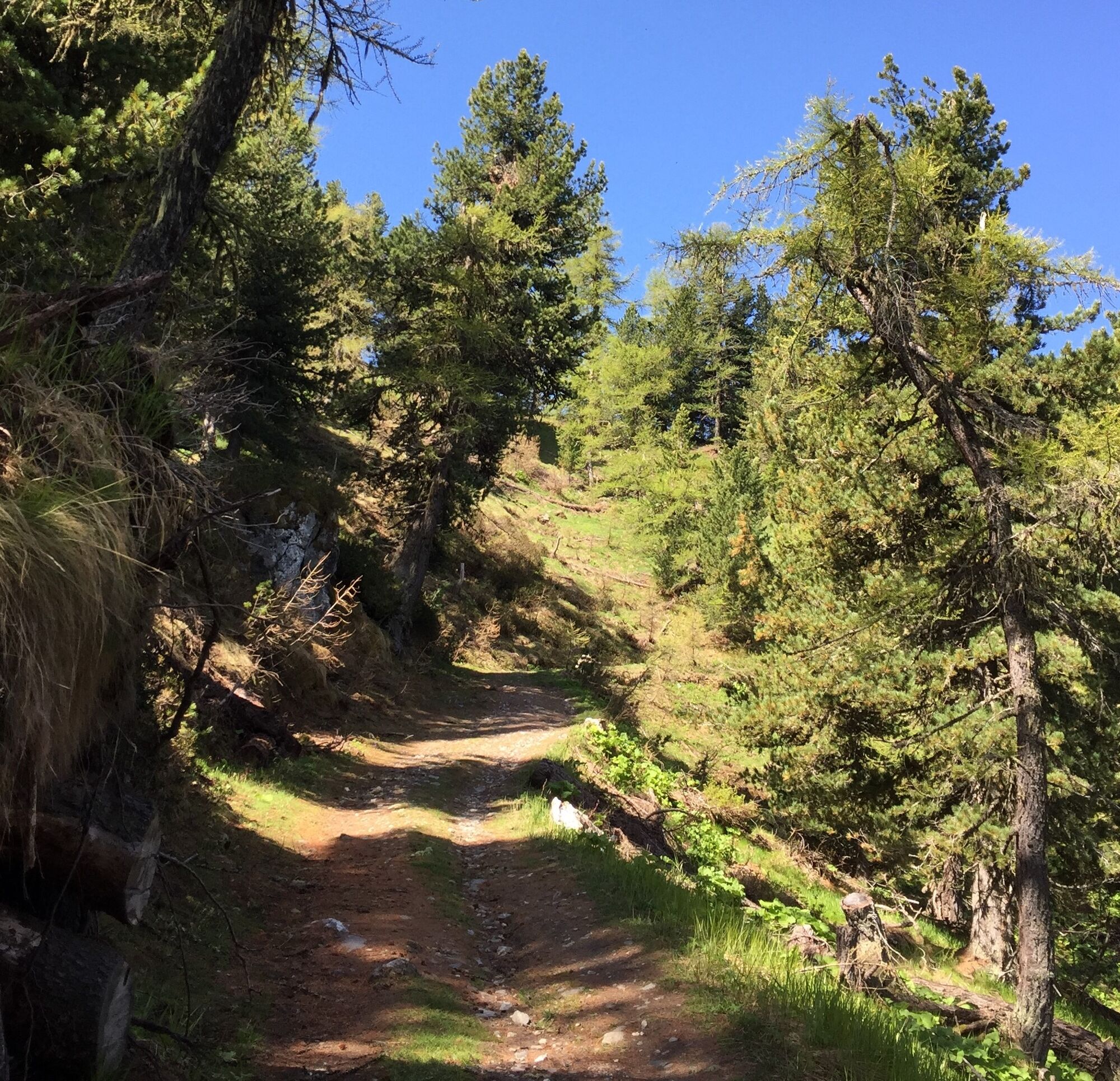


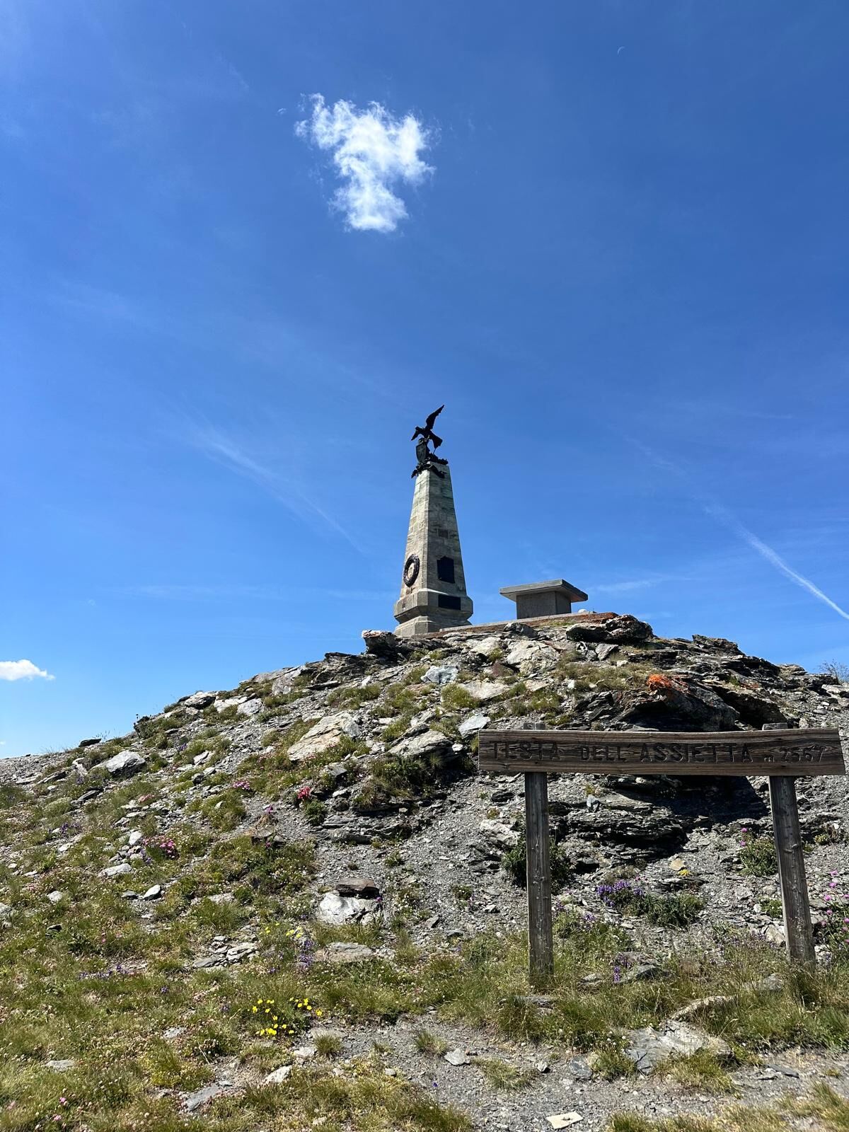
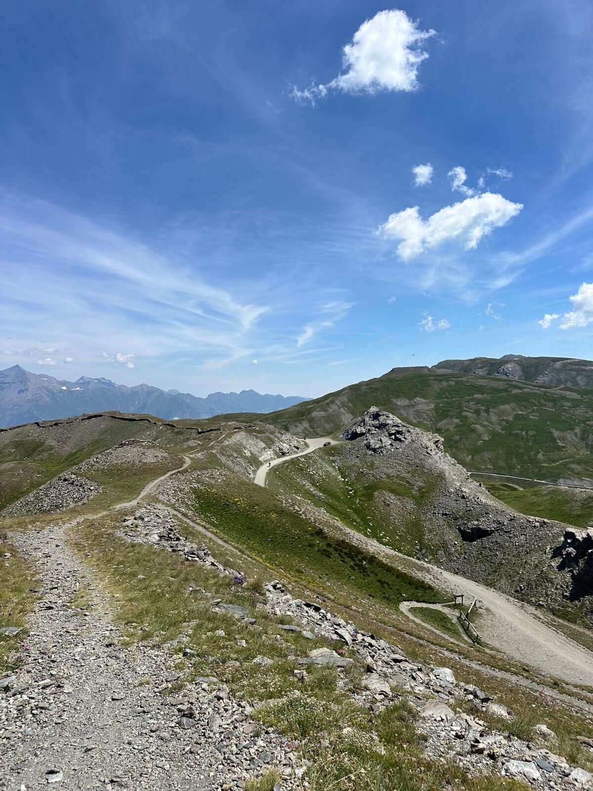

Starting from the centre of Sauze d'Oulx, walk along the first part of via Clotes and then continue along via Miramonti and Dolmaire to the hamlet of Richardette. A few chiometres above the last houses, the junction for Enfers is found on the left. Here begins the dirt road that leads into the Gran Bosco Nature Park. The path, after the first, not particularly demanding climbs, continues on a false level until it reaches a fork. Ignore the downhill road to the left and continue to the right in the direction of Col Bleiger (2371 m). After an initial slightly flat stretch, a couple of climbs lead to the junction with the Strada dei Cannoni. Our route continues to the right with some fairly demanding uphill stretches such as the one that climbs to the Ferro a Cavallo. The Bleiger Pass is reached after a few hairpin bends that alternate flat stretches with not-too-long climbs. At the pass, continue left along the watershed between the Susa Valley and the Chisone Valley, passing Col Lauson, Monte Gran Costa and finally reaching Testa dell'Assietta. Return: you can follow the same route as the outward journey or, experienced bikers will be able to take the Strada dei Cannoni whose access is a few hundred metres to the right after the Assietta House Refuge. The path ends on the same road taken on the ascent.
Áno
Water supplies are recommended as there are few fountains along the route.
From Col Bleiger to Testa dell'Assietta the road is open to car traffic except on Wednesdays and Saturdays in July and August. For further information - www.stradadellassietta.it.
By car from France: From the UK take the A 43 through the Frejus Tunnel (toll) then A32 motorway as far as Oulx.
By train: the mainline railway which connects Paris to Milan by TGV has a station in Oulx. Public transport and taxis services operate from Oulx station to Sauze d’Oulx. See also: www.snowcarbon.co.uk.
Genevris car park
Water supplies are recommended as there are few springs along the route.
On the way back: you can choose whether to follow the same route as on the outward journey or to descend along the Strada dei Cannoni (km. 19.81) and return on the road to Enfers, Richardette, Sauze d'Oulx. The Strada dei Cannoni alternates between rideable, flowing sections and narrower, more difficult single tracks. Only recommended for experienced bikers.
Získajte prehľad
Vždy naživo na mieste s viac ako 9 500 webovými kamerami. bergfex Ako používateľ Pro si teraz môžete pozrieť príslušné webové kamery pre mnohé zájazdy v aplikácii zájazdy z. Môžete si tak priamo prezerať aktuálne podmienky.
Aktivity počas prehliadky


Obľúbené výlety v okolí
-
5,0
BARDONECCHIA Forte Jafferau Loop
ťažkéMountainbike 36,8 km -
BARDONECCHIA - Loop Colle della Scala - Col de Montgenèvre - Colle del Sestriere
ťažkéCestný bicykel 91,9 km -
5,0
SESTRIERE Monte Rognosa
ťažkéTuristika 6,42 km -
BARDONECCHIA Monte Jafferau
ťažkéTuristika 11,6 km -
SAUZE D'OULX Richardette - Montagne Seu )
strednáMountainbike 19,9 km -
5,0
CESANA T.SE Cesana - Fenils
svetloTuristika 4,60 km -
OULX Borgata Seu (Gran Bosco Natural Park)
svetloSnežnice 5,93 km -
5,0
OULX Montagne Seu
svetloTuristika 5,28 km -
5,0
CESANA T.SE Thures - Cima Bosco
ťažkéSnežnice 3,94 km -
PRAGELATO Colle dell'Assietta
ťažkéMountainbike 53,3 km
Turistika a stopovanie


Nenechajte si ujsť ponuky a inšpiráciu na ďalšiu dovolenku
Vaša e-mailová adresa bol pridaný do poštového zoznamu.





