







Le Strade dei Forti - stage 4 from Pian dell'Alpe to Sestriere
Úroveň náročnosti: S0
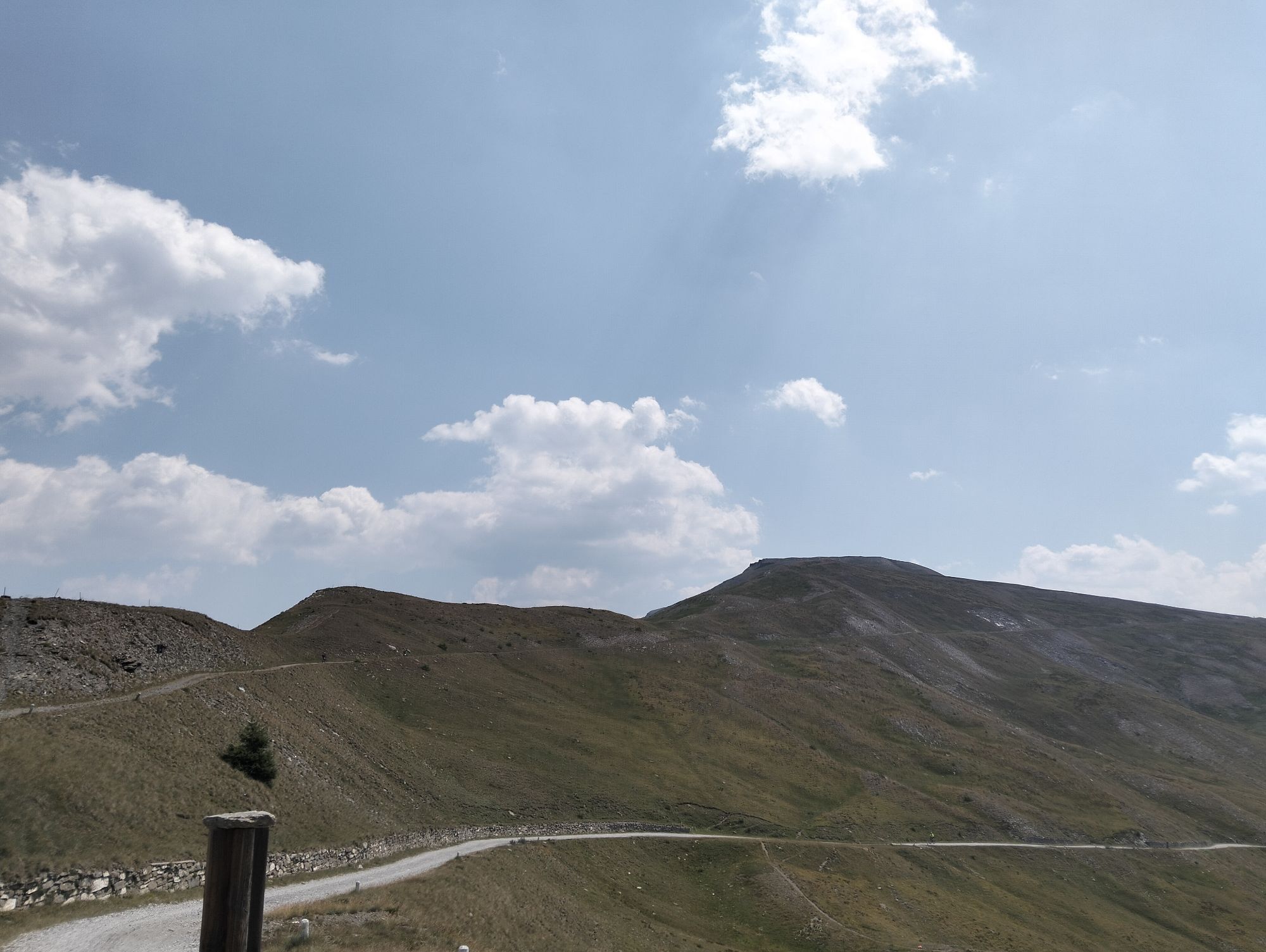
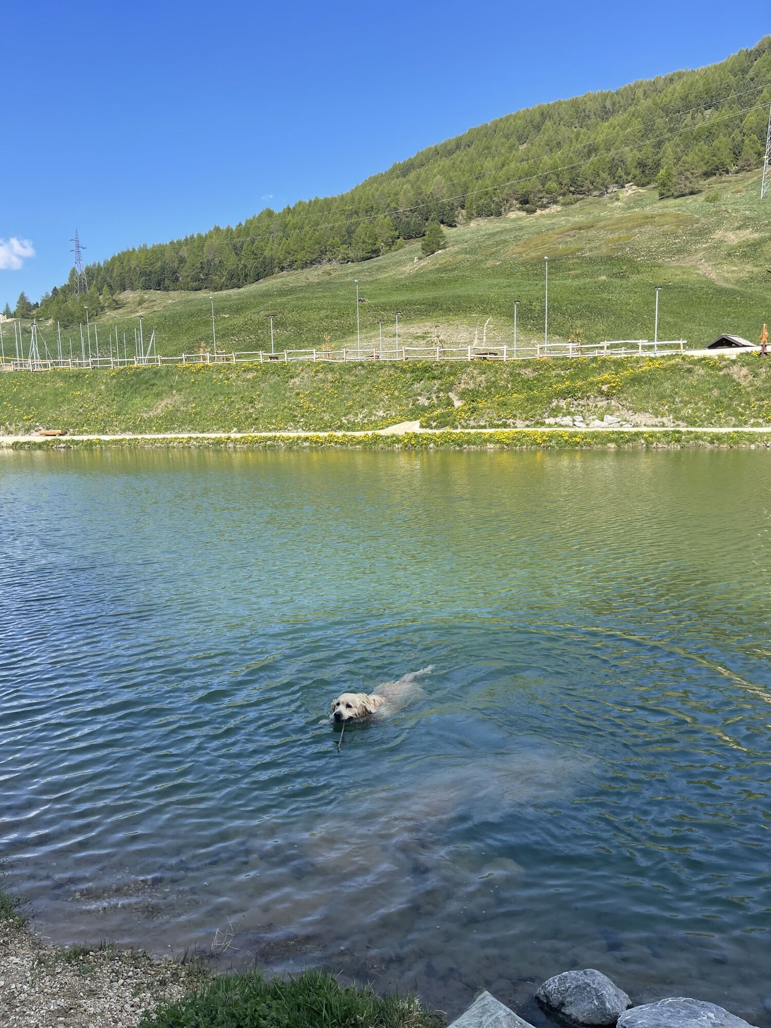
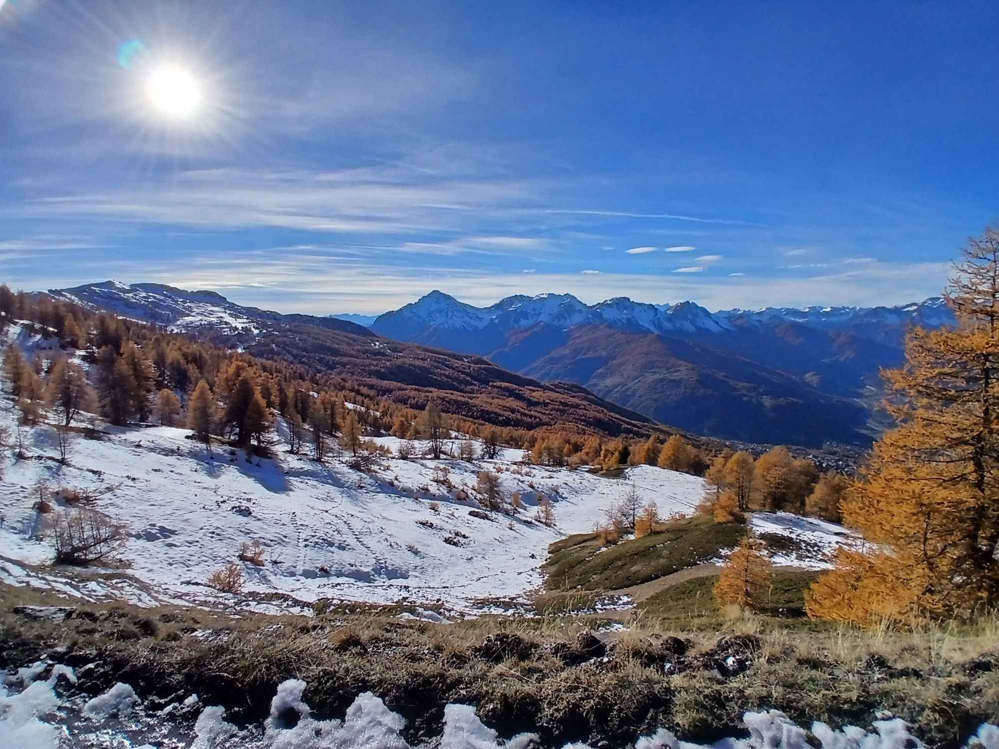
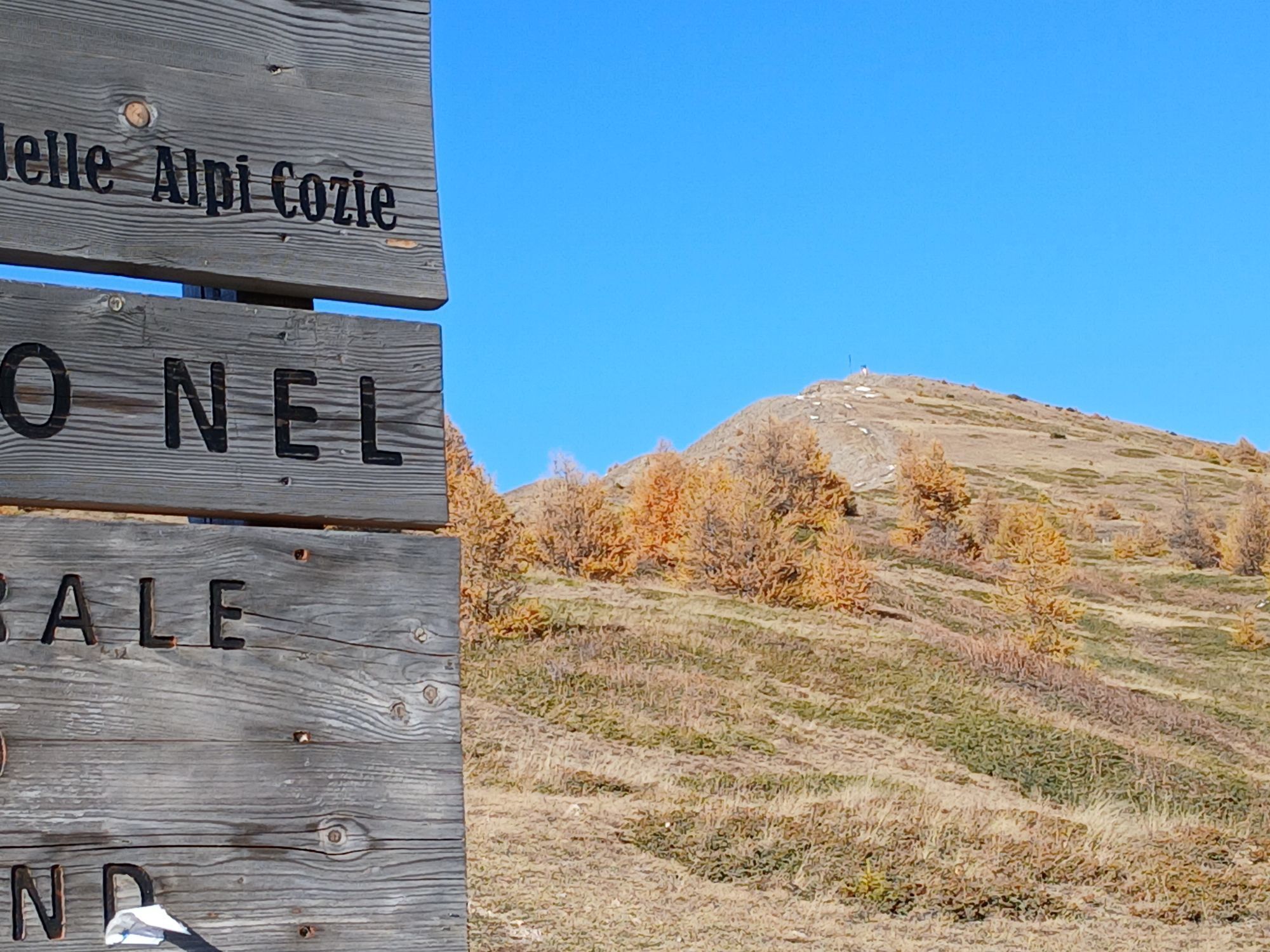
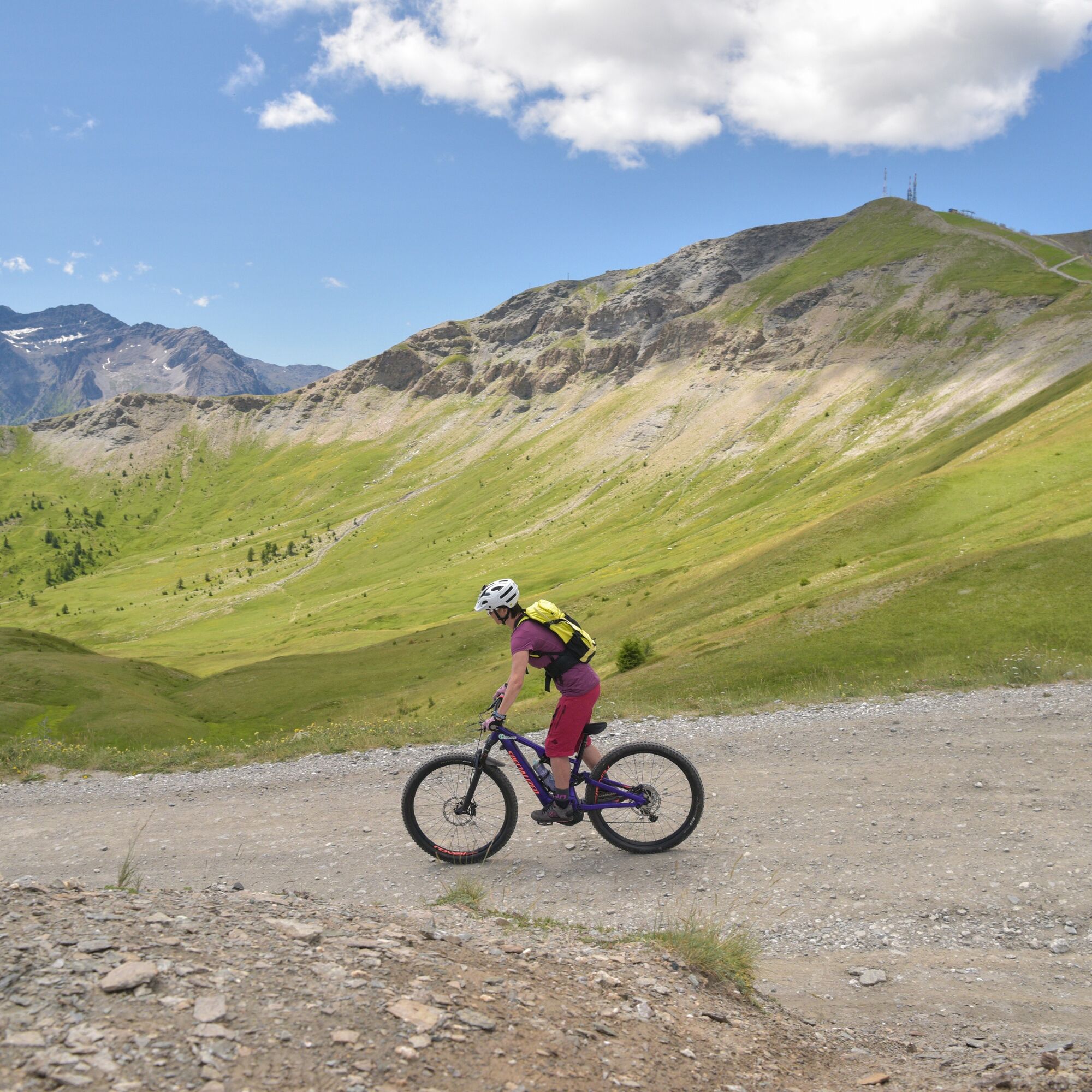
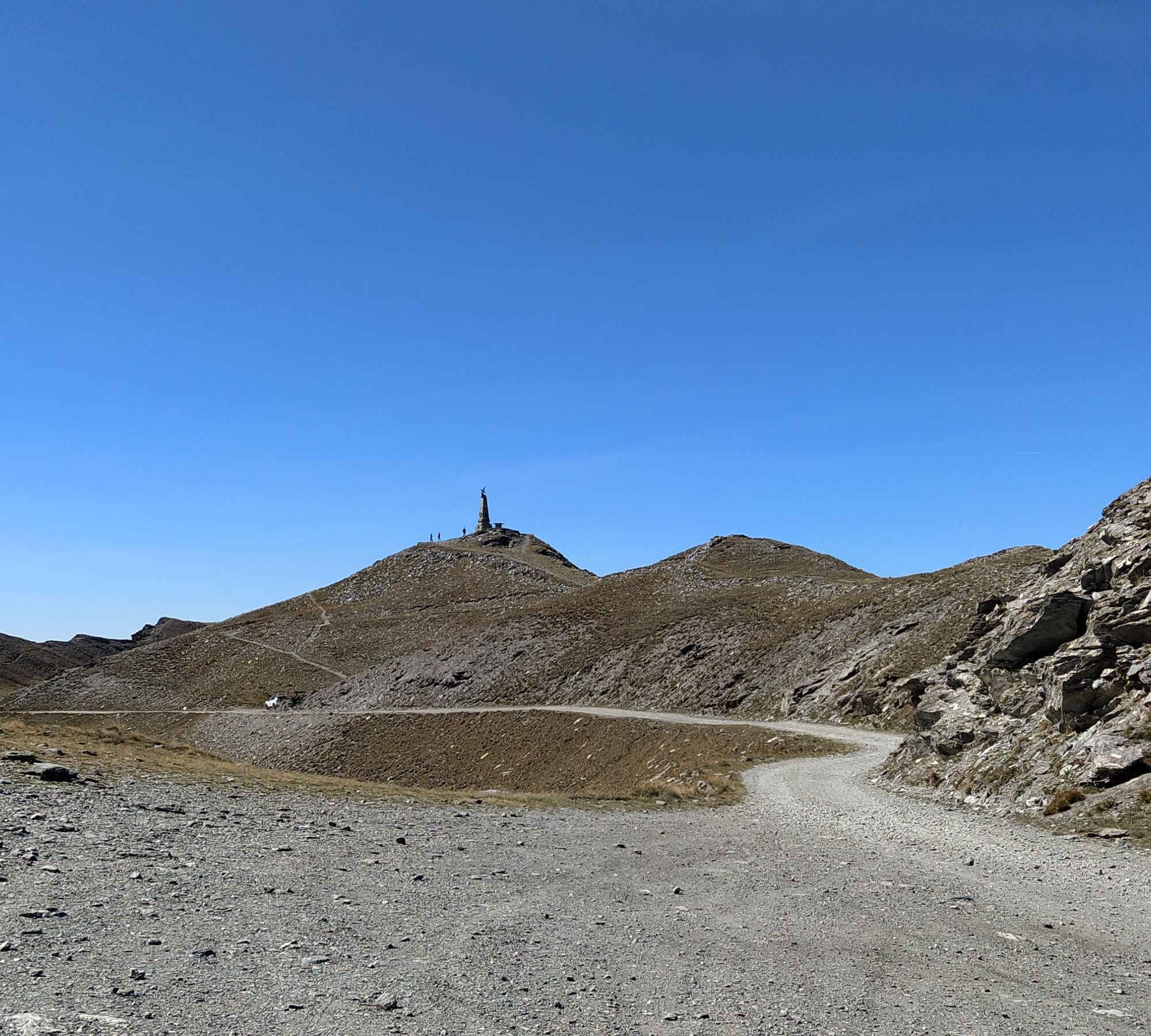
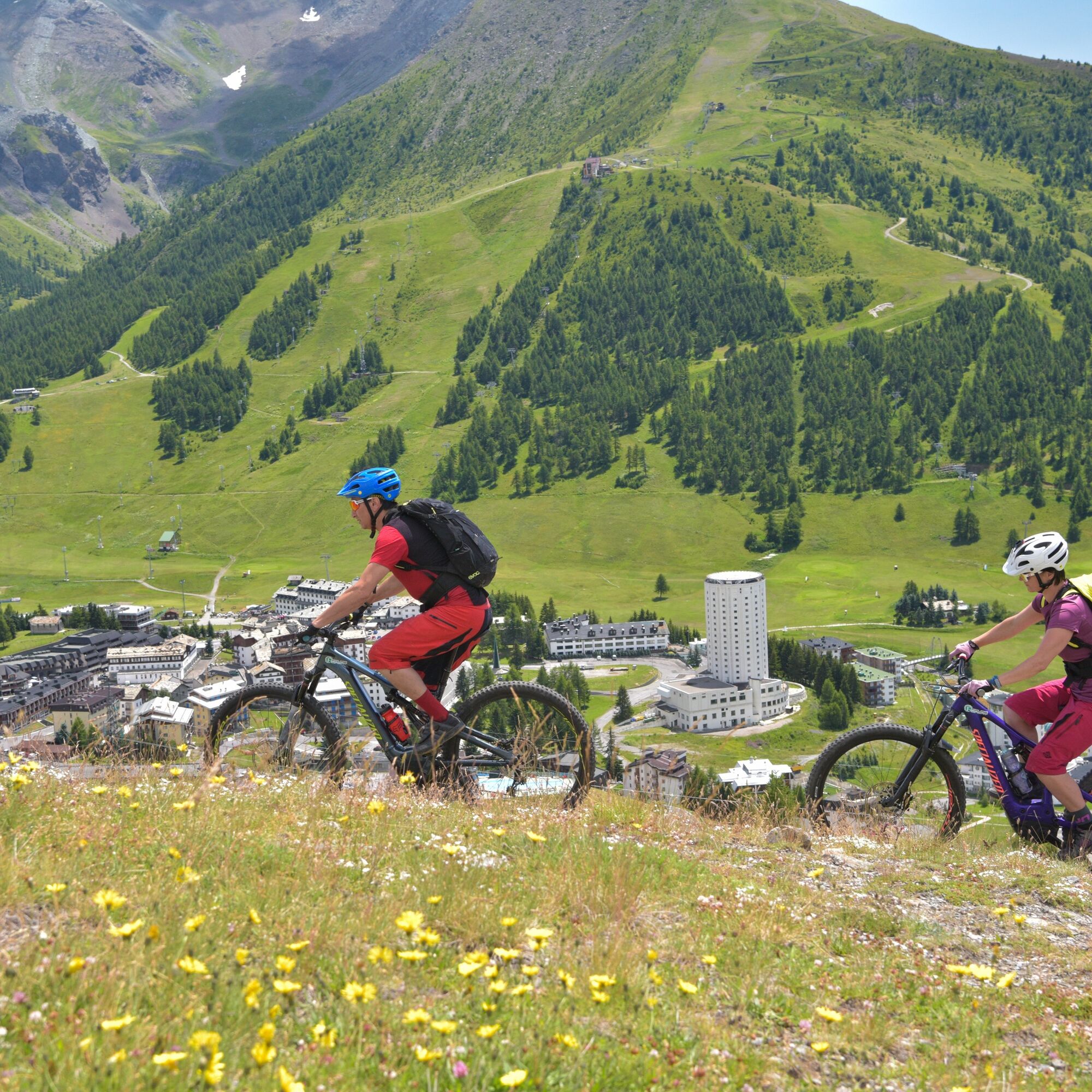
The route takes place on a dirt but well-packed surface, without major technical difficulties, but with many climbs and descents that will tire and entertain at the same time. The road runs almost entirely...
In July and August, the road is closed to motor vehicles on Wednesdays and Saturdays to allow hikers and cycling enthusiasts to travel it calmly and safely.
It is possible to return to Fenestrelle by following a dirt track alternative to SS23 that runs along the Chisone stream, passing through Sestriere Borgata, Pattemouche, Pragelato, Fraisse, and Laux.


Áno
Appropriate clothing and equipment are recommended.
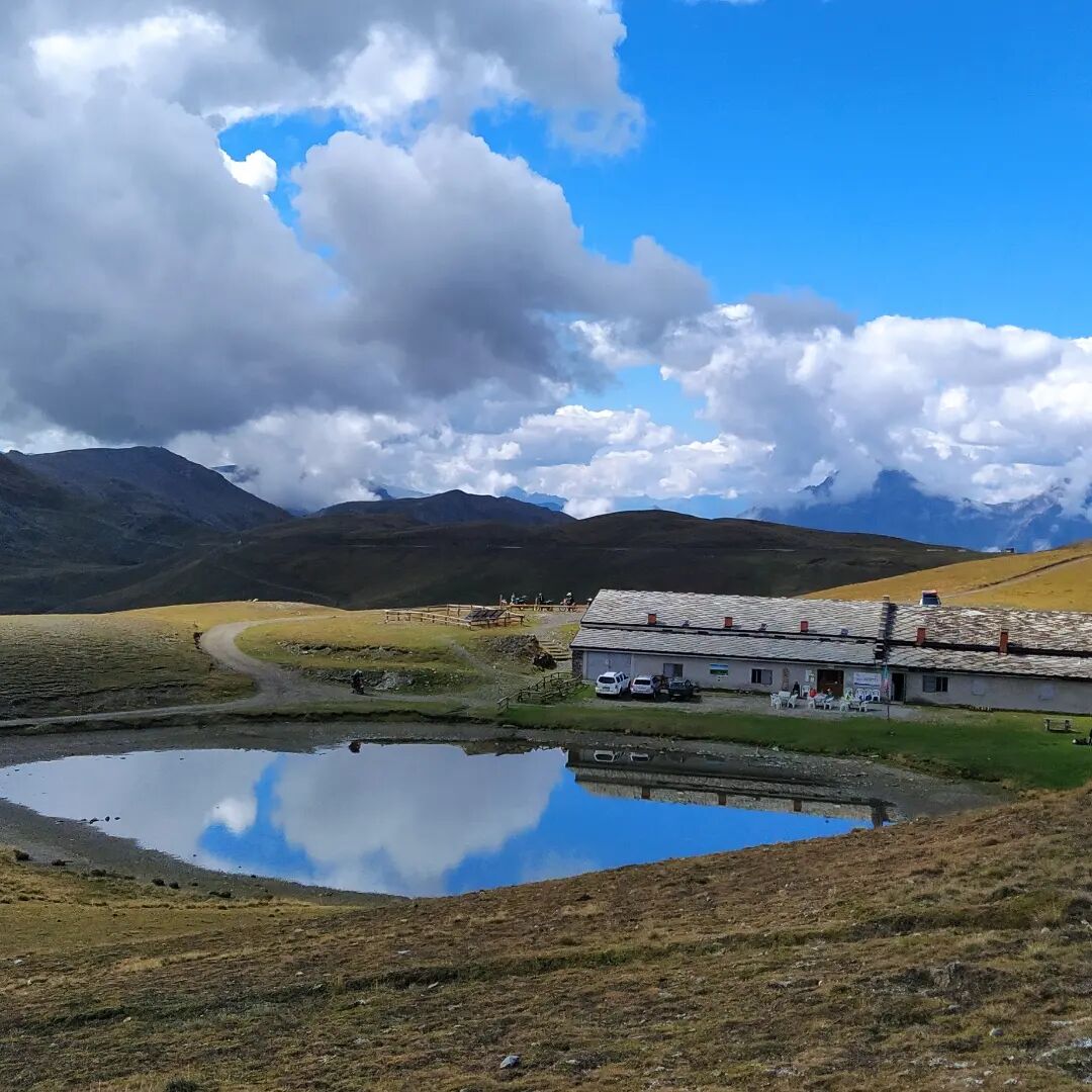
The only refreshment point along the route is the Assietta Refuge "Jack Canali".
For those coming from Turin, take the A55 to Pinerolo and then take the SR23 towards Sestriere. At Usseaux, follow the SP173 (Assietta Road), following the signs to Pian dell'Alpe.
There are public parking areas at Pian dell'Alpe.
S0
It is good practice not to undertake an excursion alone, always informing someone of your destination.
Do not litter but carry your waste with you, possibly picking up any left by others.
The travel times indicated are approximate and may vary depending on weather conditions and your abilities.
For more information www.lestradedeiforti.it
Regulations for motor traffic limitations at www.stradaassietta.it
In summer, the Assietta Road is closed to motor vehicles on Wednesdays and Saturdays.
Získajte prehľad
Vždy naživo na mieste s viac ako 9 500 webovými kamerami. bergfex Ako používateľ Pro si teraz môžete pozrieť príslušné webové kamery pre mnohé zájazdy v aplikácii zájazdy z. Môžete si tak priamo prezerať aktuálne podmienky.

Obľúbené výlety v okolí
-
5,0
BARDONECCHIA Forte Jafferau Loop
ťažkéMountainbike 36,8 km -
BARDONECCHIA - Loop Colle della Scala - Col de Montgenèvre - Colle del Sestriere
ťažkéCestný bicykel 91,9 km -
5,0
SESTRIERE Monte Rognosa
ťažkéTuristika 6,42 km -
BARDONECCHIA Monte Jafferau
ťažkéTuristika 11,6 km -
SAUZE D'OULX Richardette - Montagne Seu )
strednáMountainbike 19,9 km -
5,0
CESANA T.SE Cesana - Fenils
svetloTuristika 4,60 km -
OULX Borgata Seu (Gran Bosco Natural Park)
svetloSnežnice 5,93 km -
5,0
OULX Montagne Seu
svetloTuristika 5,28 km -
5,0
CESANA T.SE Thures - Cima Bosco
ťažkéSnežnice 3,94 km -
PRAGELATO Colle dell'Assietta
ťažkéMountainbike 53,3 km
Turistika a stopovanie


Nenechajte si ujsť ponuky a inšpiráciu na ďalšiu dovolenku
Vaša e-mailová adresa bol pridaný do poštového zoznamu.





