







The Plaisentif Path (Pragelato alpine pastures, sunny side)
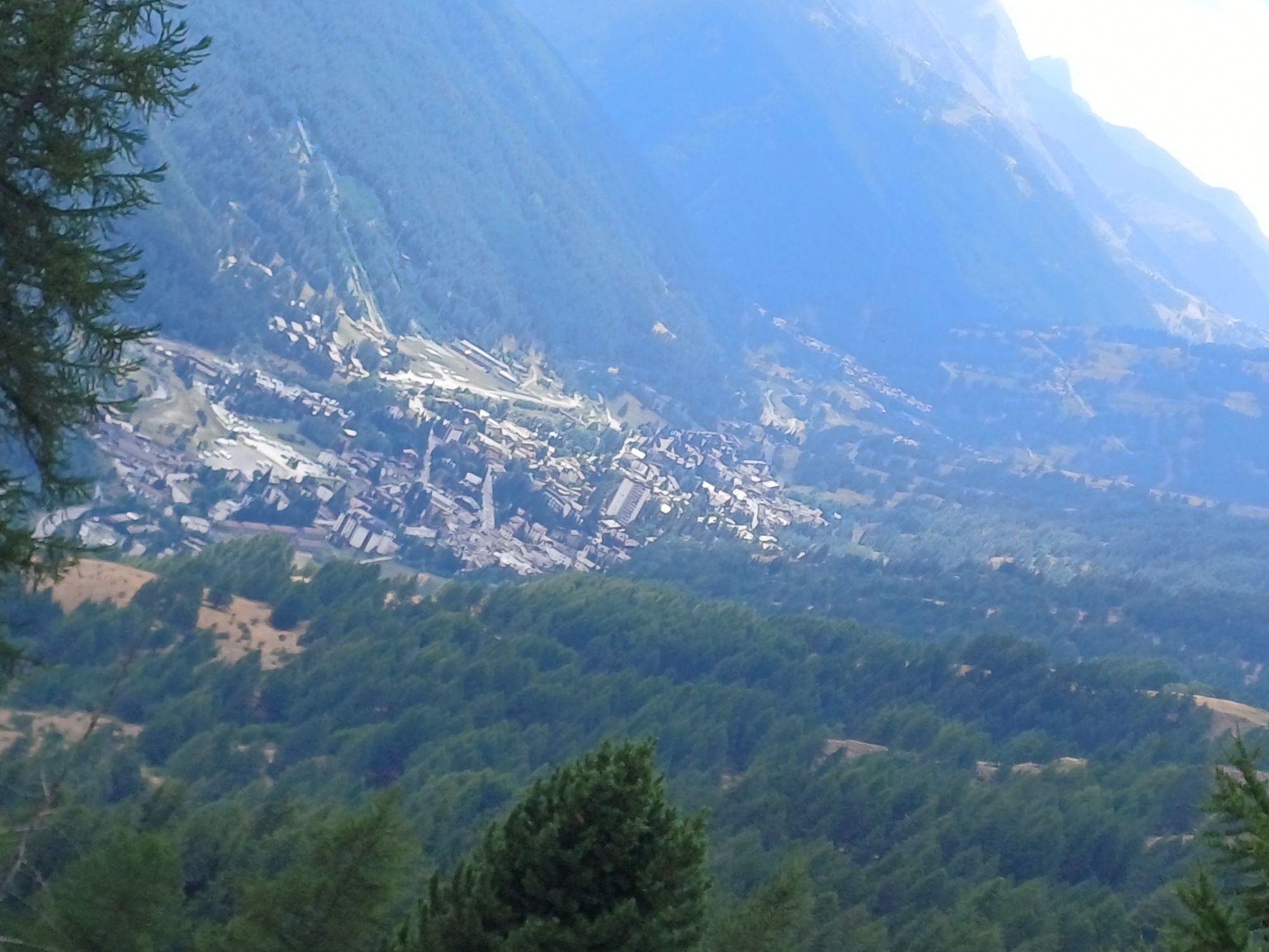
Starting from Pattemouche, you can reach Chezal following two routes of equivalent duration (via Borgata Sestriere or via Plan-Duc). Continue flat along the mule track that leads to the Rio Combeiraut,...
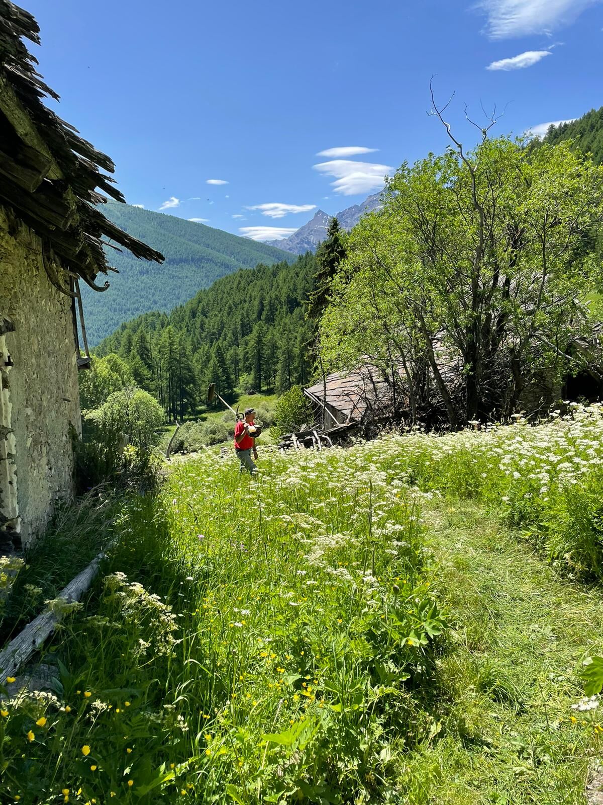
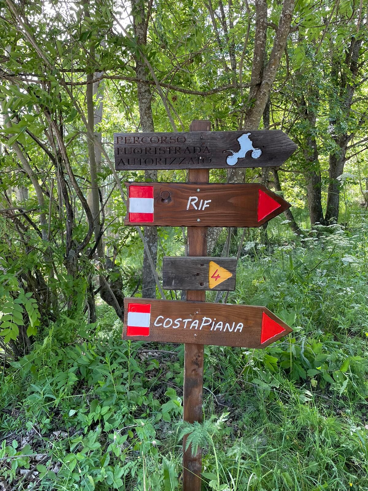
Starting from Pattemouche, you can reach Chezal following two routes of equivalent duration (via Borgata Sestriere or via Plan-Duc). Continue flat along the mule track that leads to the Rio Combeiraut, follow the dirt road descending from Alpe Bruns to Villardamond; here you will find the hamlet oven and shortly after, on the left, take via Col Bourget, paved with cobblestones, to the end where there is the last fountain and the directional sign to Allevé. The path ends shortly before arriving at Allevé, where there is an access bridge. Enter the hamlet, passing in front of the Locanda Allevé and then the restored oven of the subdivision. Continue straight to the Cabot fountain and at the fork turn right to Rif, an uninhabited and ruined hamlet, crossing wet areas. Continue flat crossing the ruins and be careful not to descend towards the valley (path leading to Rivets) nor turn left at the sign indicating Colle di Costa Piana; cross the Rio Pomerol on a small bridge and then a path leads to the dirt road of the Giarasson alpine pasture. Continue until you meet the mule track descending from Col Blegier and reach first Grand Puy and then, after crossing a small pass (locality Boufuvent), Faussimagna. Finally, take the path descending to Souchères Basses.
If you want to close the loop, you can cross the Chisone stream and ascend to Pattemouche on the right side of the stream or stay on the left side and return via the path that reaches the Gofree Tourist Village, via Roma, via Albergian, Strada Reale Vecchia, etc... but there is still a long way!
Technical description support by Beatrice Griot (nature guide).

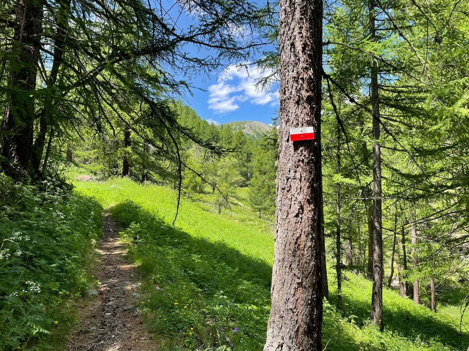

The start offers two options of equivalent duration:
Option A: Starting from Pattemouche, take the mule track along the ski slopes towards Orsiera and Borgata Sestriere; after some hairpin bends and a false flat, descend to the right and cross the Chisonetto stream. Head to the opposite side, briefly following the S.P. 23 of Sestriere, cross it, and proceed to Chezal.
Option B: Starting from Plan, climb rightwards along a path that reaches Duc; cross the S.P. 23 of Sestriere and continue on the path leading to Chezal.
Áno
Hiking boots and poles are recommended due to wet areas encountered.
It is quite a long walk but without difficulties. For wet areas, especially in spring, appropriate footwear is recommended.
We recommend:
- Consulting alpine guides and/or nature guides;
- Checking weather forecasts and free apps;
- Not undertaking the excursion alone or informing a trusted person of your intended route;
- Remembering that the indicated travel times for the various routes are average and indicative and can vary considerably based on weather conditions and your abilities; environmental variability can significantly reduce safety levels.
By car reach the Plan roundabout on the S.P. 23 of Sestriere and turn towards the Val Troncea Natural Park. The road is paved and leads to Pattemouche, after passing Plan.
https://arriva.it/app/uploads/sites/4/2021/01/000282.pdf
ARRIVA bus line from Turin, stop "Rotonda di Plan." From the roundabout, follow via Rohrbach to reach Plan and then Pattemouche after about 600 m on foot. The start of the trail to Orsiera is near the Pragelato-Banchetta cable car.
Upon arrival at Pattemouche, after crossing a small bridge, there is a large unpaved parking area on the left where parking is allowed and free of charge.
After the ruins of Rif, you can easily encounter curious marmots watching over the mountain.
If you plan a stopover at the alpine pastures, you can book one or more wheels of Plaisentif, produced according to regulations during the violet flowering period (June-July), left to mature in the mountains for about 80 days and marketed only from the third Sunday of September, during the Poggio Oddone festival in Perosa Argentina.
The route is quite long and can be divided into two parts: Pattemouche - Rif - Rivets or Rivets - Rif - Grand Puy - Faussimagna - Souchères Basses.
It is good practice to:
- Not throw waste in the environment, but possibly carry it with you;
- Respect private properties and restricted areas;
- Open and close the electric fences of shepherd enclosures with the proper handles;
- Always keep your dog on a leash;
- Always carry a garbage bag;
- Keep distances and do not approach shepherd dogs protecting the flocks.
A high-altitude crossing connects hamlets and alpine pastures, paths and mule tracks, examples of alpine architecture, fountains, ovens, and sundials.
Získajte prehľad
Vždy naživo na mieste s viac ako 9 500 webovými kamerami. bergfex Ako používateľ Pro si teraz môžete pozrieť príslušné webové kamery pre mnohé zájazdy v aplikácii zájazdy z. Môžete si tak priamo prezerať aktuálne podmienky.
Obľúbené výlety v okolí
-
5,0
BARDONECCHIA Forte Jafferau Loop
ťažkéMountainbike 36,8 km -
BARDONECCHIA - Loop Colle della Scala - Col de Montgenèvre - Colle del Sestriere
ťažkéCestný bicykel 91,9 km -
5,0
SESTRIERE Monte Rognosa
ťažkéTuristika 6,42 km -
BARDONECCHIA Monte Jafferau
ťažkéTuristika 11,6 km -
SAUZE D'OULX Richardette - Montagne Seu )
strednáMountainbike 19,9 km -
5,0
CESANA T.SE Cesana - Fenils
svetloTuristika 4,60 km -
OULX Borgata Seu (Gran Bosco Natural Park)
svetloSnežnice 5,93 km -
5,0
OULX Montagne Seu
svetloTuristika 5,28 km -
5,0
CESANA T.SE Thures - Cima Bosco
ťažkéSnežnice 3,94 km -
PRAGELATO Colle dell'Assietta
ťažkéMountainbike 53,3 km
Turistika a stopovanie


Nenechajte si ujsť ponuky a inšpiráciu na ďalšiu dovolenku
Vaša e-mailová adresa bol pridaný do poštového zoznamu.





